Denlethen Wood
Wood, Forest in Kincardineshire
Scotland
Denlethen Wood
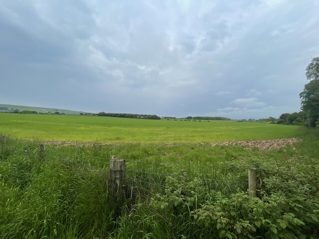
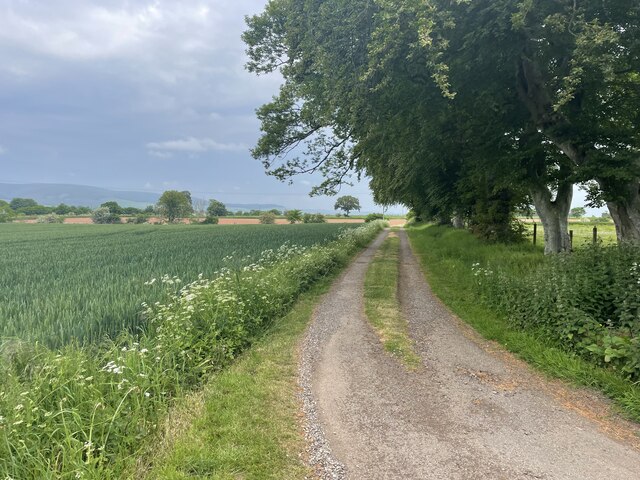
Denlethen Wood is a captivating forest located in Kincardineshire, Scotland. Spanning over a vast area, this ancient woodland is renowned for its natural beauty and rich biodiversity. The wood is situated near the picturesque village of Maryculter, creating a tranquil and idyllic environment for visitors to explore.
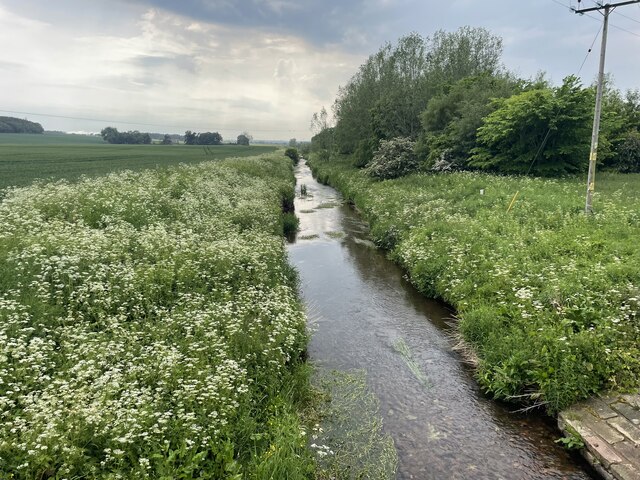
One of the notable features of Denlethen Wood is its diverse range of tree species. Towering Scots pines dominate the landscape, intermingled with oak, beech, and birch trees. This varied vegetation provides a stunning display of colors throughout the seasons, from vibrant greens in the spring and summer to fiery reds and oranges in the autumn.
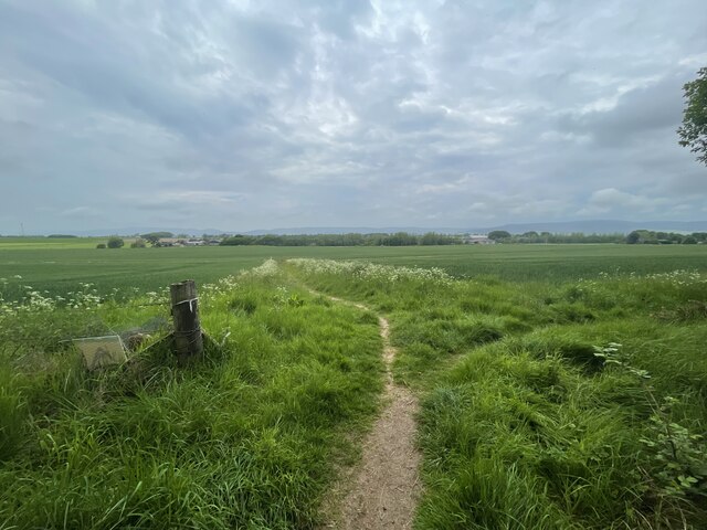
The forest is intersected by a network of well-maintained trails and paths, making it easily accessible for hikers and nature enthusiasts. These paths wind through the wood, offering visitors the opportunity to immerse themselves in the peaceful surroundings and observe the local wildlife. Denlethen Wood is home to a plethora of animal species, including red squirrels, roe deer, and a variety of birds, making it a haven for birdwatchers.
In addition to its natural beauty, Denlethen Wood also holds historical significance. The remains of an ancient settlement, believed to date back to the Iron Age, can be found within the forest. This adds an extra layer of intrigue and allure to the site, attracting history enthusiasts and archaeology buffs.
Overall, Denlethen Wood is a captivating destination for those seeking to connect with nature and explore Scotland's natural wonders. Its stunning landscapes, diverse flora and fauna, and historical significance combine to create an unforgettable experience for visitors of all ages.
If you have any feedback on the listing, please let us know in the comments section below.
Denlethen Wood Images
Images are sourced within 2km of 56.82661/-2.4908574 or Grid Reference NO7070. Thanks to Geograph Open Source API. All images are credited.


Denlethen Wood is located at Grid Ref: NO7070 (Lat: 56.82661, Lng: -2.4908574)
Unitary Authority: Aberdeenshire
Police Authority: North East
What 3 Words
///mile.cascaded.fuss. Near Laurencekirk, Aberdeenshire
Nearby Locations
Related Wikis

Thornton Castle, Marykirk
Thornton Castle, Marykirk, Aberdeenshire is a fortress or fortified residence in Marykirk, Aberdeenshire. Parts of the house date from 1531. It was the...

Laurencekirk
Laurencekirk (, Scots: Lowrenkirk, Scottish Gaelic: Eaglais Labhrainn), locally known as Lournie, is a small town in the historic county of Kincardineshire...

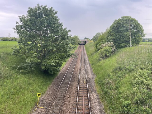
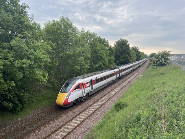
Laurencekirk railway station
Laurencekirk railway station is a railway station serving the communities of Laurencekirk and The Mearns in Aberdeenshire, Scotland. The station was reopened...

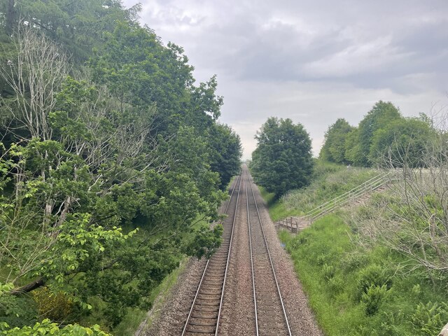
Marykirk railway station
Marykirk railway station served the village of Marykirk, Kincardineshire, Scotland from 1849 to 1956 on the Aberdeen Railway. == History == The station...
Nearby Amenities
Located within 500m of 56.82661,-2.4908574Have you been to Denlethen Wood?
Leave your review of Denlethen Wood below (or comments, questions and feedback).