Castlebank Wood
Wood, Forest in Kincardineshire
Scotland
Castlebank Wood

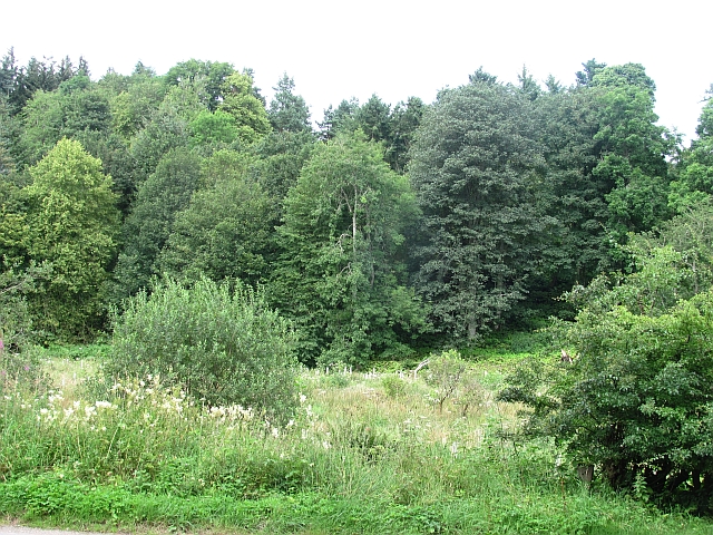
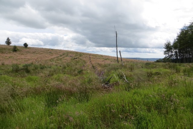
Castlebank Wood is a captivating forest located in Kincardineshire, Scotland. Covering an area of approximately 50 hectares, it is a cherished natural gem in the region. The wood is nestled in a picturesque setting, surrounded by rolling hills and breathtaking landscapes, making it a popular destination for nature enthusiasts and locals alike.
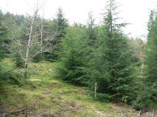
The wood is primarily composed of a diverse range of native tree species, including oak, birch, ash, and hazel. These majestic trees form a dense canopy, providing a sanctuary for various wildlife species. Visitors to Castlebank Wood can expect to encounter an array of fauna, such as red squirrels, roe deer, and a variety of bird species.
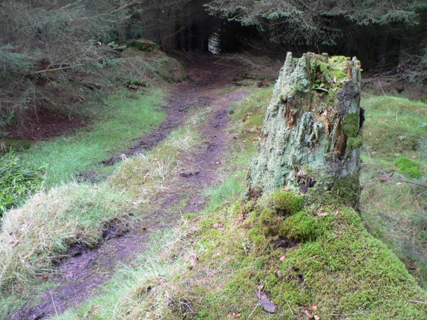
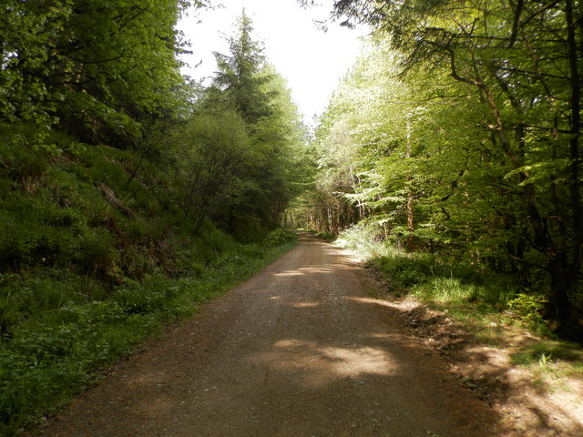
The wood offers a network of well-maintained walking trails, allowing visitors to explore its enchanting beauty at their own pace. The trails wind through the forest, passing by tranquil streams, vibrant wildflowers, and patches of ancient woodland. There are also designated picnic areas, providing the perfect spot for visitors to rest and indulge in a packed lunch amidst nature.
Castlebank Wood holds historical significance, as it was once part of the expansive estate surrounding Castlebank House. Although the house itself is no longer standing, remnants of its past can still be found within the wood, including the remains of a walled garden and a small pond.
Overall, Castlebank Wood is a captivating and historically rich forest that offers a peaceful retreat from the hustle and bustle of everyday life. Its natural beauty, diverse wildlife, and tranquil atmosphere make it an ideal destination for those seeking solace in nature.
If you have any feedback on the listing, please let us know in the comments section below.
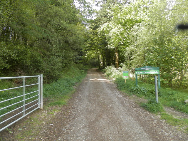
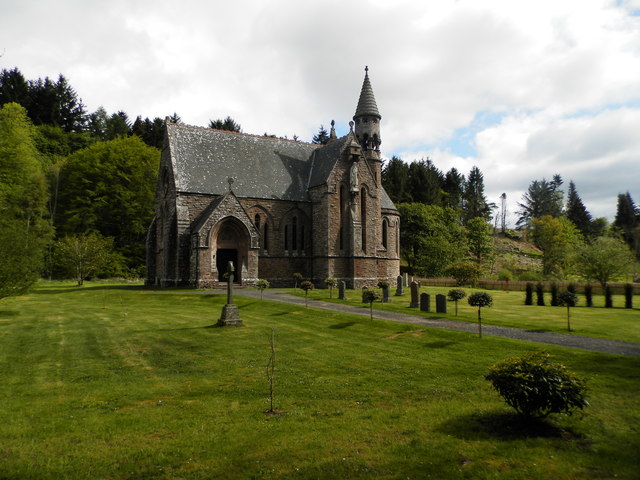
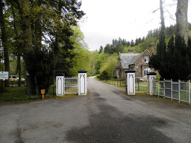
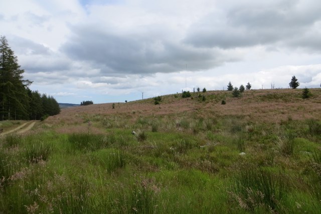
Castlebank Wood Images
Images are sourced within 2km of 56.911258/-2.4920503 or Grid Reference NO7080. Thanks to Geograph Open Source API. All images are credited.


Castlebank Wood is located at Grid Ref: NO7080 (Lat: 56.911258, Lng: -2.4920503)
Unitary Authority: Aberdeenshire
Police Authority: North East
What 3 Words
///hunk.relocated.kingdom. Near Laurencekirk, Aberdeenshire
Nearby Locations
Related Wikis

Drumtochty Castle
Drumtochty Castle is a neo-gothic style castellated mansion erected in 1812 approximately three kilometres north-west of Auchenblae, Kincardineshire, Scotland...

Kincardineshire
Kincardineshire, also known as the Mearns (from the Scottish Gaelic A' Mhaoirne meaning "the Stewartry"), is a historic county, registration county and...

Drumtochty Forest
Drumtochty Forest is a coniferous woodland in Kincardineshire, Scotland. In earlier times this forest was associated with Drumtochty Castle. Other notable...
Auchinblae distillery
Auchenblae distillery was a scotch whisky distillery in Auchenblae, Kincardine, Aberdeenshire, Scotland. == History == The distillery was created in 1895...

Fordoun Stone
The Fordoun Stone is a class II Pictish cross slab in Fordoun parish church, Auchenblae, Aberdeenshire, Scotland. == Description == A slab of Old Red Sandstone...

Auchenblae
Auchenblae (, Scottish Gaelic: Achadh nam Blàth) is a village in the Kincardine and Mearns area of Aberdeenshire, formerly in Kincardineshire, Scotland...

Cairn O' Mounth
Cairn O' Mounth/Cairn O' Mount (Scottish Gaelic: Càrn Mhon) is a high mountain pass in Aberdeenshire, Scotland. The place name is a survival of the ancient...

Droop Hill
Droop Hill is a mountain landform in the Kincardine and Mearns region of Aberdeenshire, Scotland. The locale had been featured in a windfarm proposal...
Nearby Amenities
Located within 500m of 56.911258,-2.4920503Have you been to Castlebank Wood?
Leave your review of Castlebank Wood below (or comments, questions and feedback).