Loch Wood

Wood, Forest in Kincardineshire

Scotland

Loch Wood

Fields north of Banchory, towards Lochend of Leys
Fields north of Banchory, towards Lochend of Leys Credit: Mike Pennington

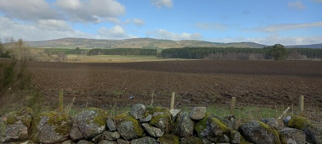
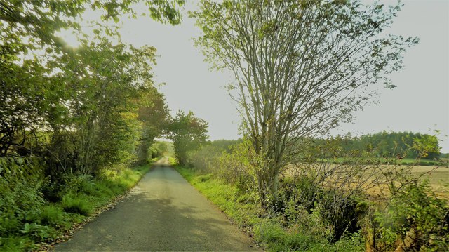
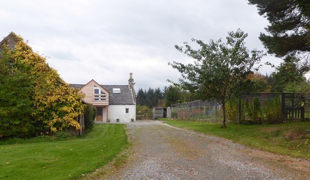
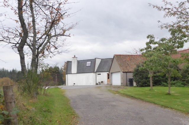
Loch Wood is a picturesque forest located in the region of Kincardineshire, Scotland. Covering an area of approximately 500 acres, it is a popular destination for nature lovers and outdoor enthusiasts. The wood is situated near the village of Loch and is easily accessible by road.

As its name suggests, Loch Wood surrounds a beautiful freshwater loch, adding to its charm and offering visitors stunning views of the surrounding landscape. The loch is home to a variety of aquatic wildlife, making it an ideal spot for birdwatching and fishing.

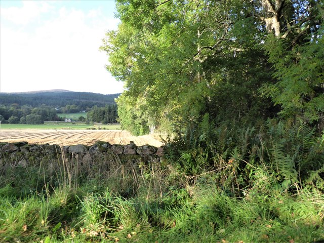
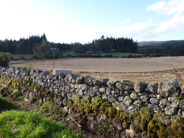
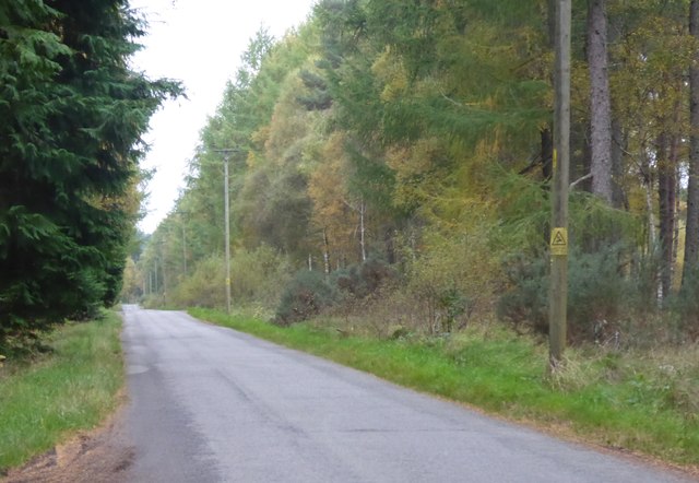
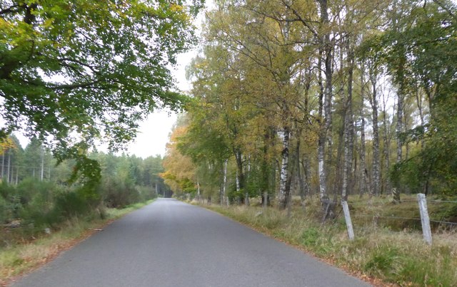
The wood itself is predominantly made up of native Scottish tree species, including Scots pine, birch, and oak. These trees provide a rich habitat for a diverse range of flora and fauna. The forest floor is adorned with wildflowers during the spring and summer months, creating a vibrant and colorful atmosphere.

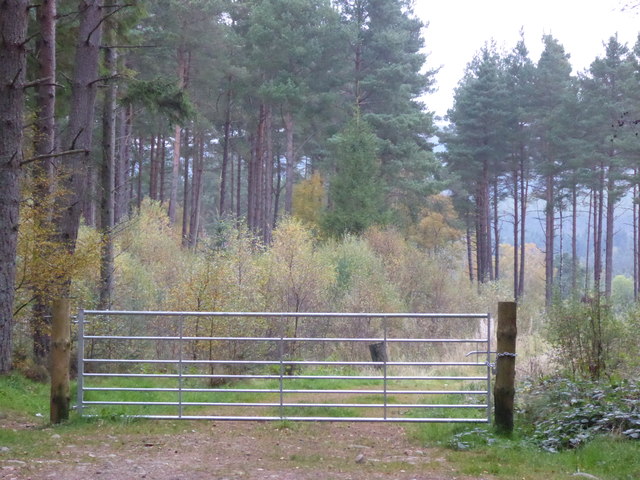
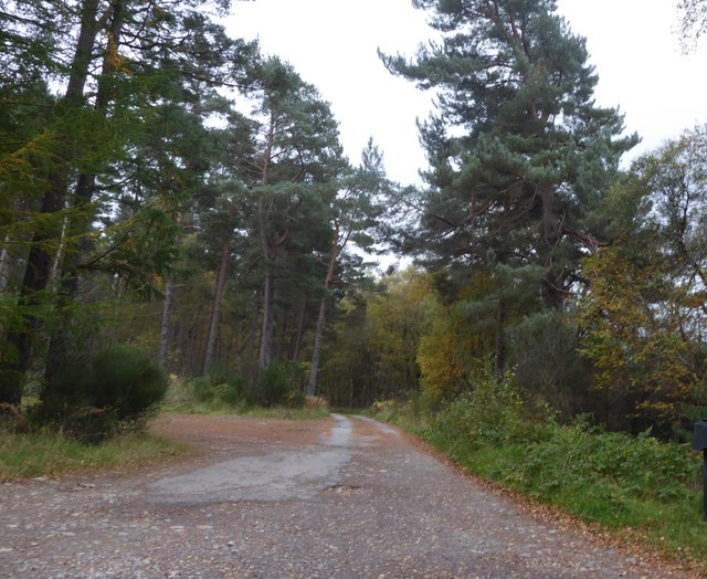
Numerous walking and hiking trails crisscross through Loch Wood, allowing visitors to explore its natural beauty at their own pace. These trails cater to all abilities, from leisurely strolls to more challenging treks for experienced hikers. Along the way, visitors may encounter a variety of wildlife, including red squirrels, deer, and a plethora of bird species.

Loch Wood offers a tranquil and serene setting, providing a peaceful escape from the hustle and bustle of everyday life. It is a haven for nature enthusiasts and provides a unique opportunity to immerse oneself in the beauty of the Scottish countryside.

If you have any feedback on the listing, please let us know in the comments section below.

Loch Wood Images

Images are sourced within 2km of 57.07241/-2.4943802 or Grid Reference NO7098. Thanks to Geograph Open Source API. All images are credited.

Fields north of Banchory, towards Lochend of Leys
View from SW corner of Hawthorn Wood Towards the 'Burnside Belts' of trees near Raemoir, by the B977 (centre left).
View from SW corner of Hawthorn Wood
Towards the 'Burnside Belts' of trees near Raemoir, by the B977 (centre left).
A 'rat run' around Banchory Towards its Raemoir end; from Crathes.
A 'rat run' around Banchory
Towards its Raemoir end; from Crathes.
Harvest time near Mill of Raemoir View from near Briggs cottage. Balwearie Wood in the background.
Harvest time near Mill of Raemoir
View from near Briggs cottage. Balwearie Wood in the background.
A narrow minor road through Brathens Wood From a passing-place, between Lochton of Leys and Newton of Leys.
A narrow minor road through Brathens Wood
From a passing-place, between Lochton of Leys and Newton of Leys.
Newton of Leys From the minor road through Brathens Wood.
Newton of Leys
From the minor road through Brathens Wood.
A gated track into Brathens Wood Off minor road via a 7-bar galvanised steel gate.
A gated track into Brathens Wood
Off minor road via a 7-bar galvanised steel gate.
Access to The Birks From the minor road at Newton Leys.
Access to The Birks
From the minor road at Newton Leys.
Newton of Leys and outbuilding garage Access from the minor road through Brathens Wood.
Newton of Leys and outbuilding garage
Access from the minor road through Brathens Wood.
Minor road west from Newton Leys To reach, and follow parallel to, the trackbed of the dismantled Deeside Railway (closure recommended by the Beeching Report some 50 years ago).
Minor road west from Newton Leys
To reach, and follow parallel to, the trackbed of the dismantled Deeside Railway (closure recommended by the Beeching Report some 50 years ago).
The Cooshed: a new-build restaurant in 2015 On a side road  off the A980 at Woodfield, Banchory. Later to be christened 'The Cooshed' and have a high class fish&chip takeaway incorporated.
The Cooshed: a new-build restaurant in 2015
On a side road off the A980 at Woodfield, Banchory. Later to be christened 'The Cooshed' and have a high class fish&chip takeaway incorporated.
Gated entrance to Brathens Wood from a minor road near Newton of Leys A loaded height gauge has been fitted sometime during the last eleven months cf. <a href="https://www.geograph.org.uk/photo/5566943">NO6897 : A gated track into Brathens Wood</a>
Gated entrance to Brathens Wood from a minor road near Newton of Leys
A loaded height gauge has been fitted sometime during the last eleven months cf. NO6897 : A gated track into Brathens Wood
Minor road east from Newton of Leys Through Brathens Wood, to join the A980 at Lochhead of Leys.
Minor road east from Newton of Leys
Through Brathens Wood, to join the A980 at Lochhead of Leys.
SW corner of Hawthorn Wood On minor road between Crathes and Raemoir Mill in autumn.
SW corner of Hawthorn Wood
On minor road between Crathes and Raemoir Mill in autumn.
Raemoir Mill Wood on left; Hill of Fare on right. Seen across grass field from minor road near Hawthorn Wood.
Raemoir
Mill Wood on left; Hill of Fare on right. Seen across grass field from minor road near Hawthorn Wood.
Mill of Raemoir Set by Mill Wood, viewed from a minor road; over A960 between Banchory and Raemoir. Hill of Fare in background.
Mill of Raemoir
Set by Mill Wood, viewed from a minor road; over A960 between Banchory and Raemoir. Hill of Fare in background.
Briggs Cottage Raemoir, Crathes, BANCHORY AB31 4EU.
Briggs Cottage
Raemoir, Crathes, BANCHORY AB31 4EU.
Minor Road from A980 towards Hawthorn Wood Stone wall and pine trees just east of C19 Briggs Cottage. A 'cotton-wool' cloud in an otherwise clear blue sky.
Minor Road from A980 towards Hawthorn Wood
Stone wall and pine trees just east of C19 Briggs Cottage. A 'cotton-wool' cloud in an otherwise clear blue sky.
Show me another place!

Loch Wood is located at Grid Ref: NO7098 (Lat: 57.07241, Lng: -2.4943802)

Unitary Authority: Aberdeenshire

Police Authority: North East

What 3 Words

///bike.volume.reforming. Near Banchory, Aberdeenshire

Related Wikis

Raemoir House

Raemoir House is a Category B listed Georgian mansion house located in Banchory, Aberdeenshire, Scotland. Its origins date back to the Ha'Hoose (Hall House...
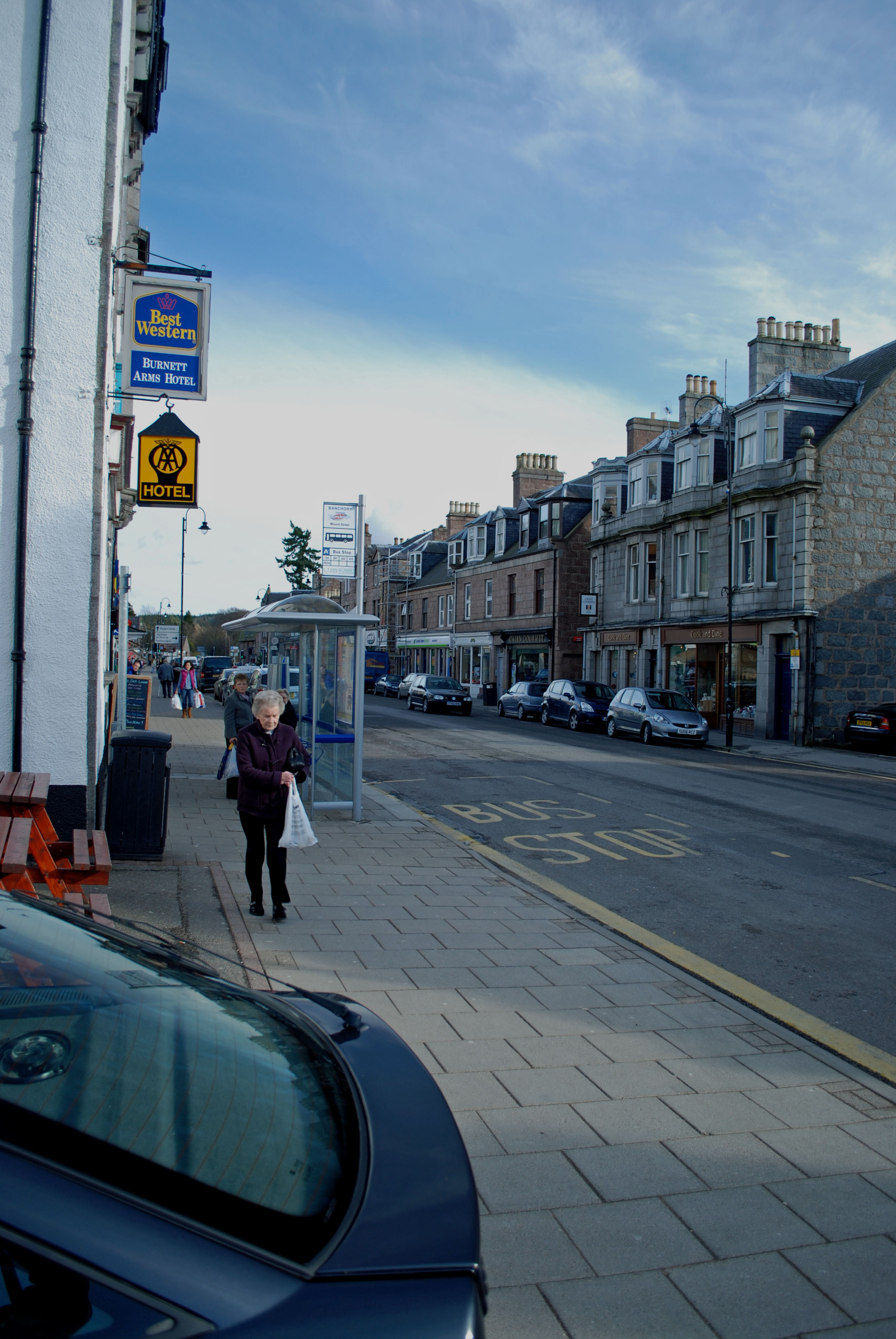
Banchory

Banchory (, Scots: Banchry, Scottish Gaelic: Beannchar) is a burgh or town in Aberdeenshire, Scotland. It is about 18 miles (29 km) west of Aberdeen,...

Glen o' Dee Hospital

Glen o' Dee Hospital is situated in the west end of Banchory, Aberdeenshire, Scotland. It is a small community hospital that provides services for the...

Banchory Academy

Banchory Academy is a secondary school serving Banchory, Scotland and surroundings, including the neighbouring communities of Raemoir, Crathes, Strachan...

Banchory Ternan East Church

Banchory Ternan East Parish Church is a congregation of the Church of Scotland, a member of the Presbyterian Church. The church building is located in...

Cluny Crichton Castle

Cluny Crichton Castle (also known as Clounie Crighton Castle) is a ruined 3-story tower house on the southern slopes of the Hill of Fare in Aberdeenshire...

Banchory Town Hall

Banchory Town Hall is a municipal structure in the High Street, Banchory, Aberdeenshire, Scotland. The structure is primarily used as a community events...

Banchory railway station

Banchory railway station was situated on the Aberdeen and Ballater branch (the Deeside Line). It was situated at 16 miles 72 chains (27.2 km) from Aberdeen...

Nearby Amenities

Located within 500m of 57.07241,-2.4943802
Archaeological Site: crannog
Historic: archaeological_site
Ref Canmore: 36684
Lat/Long: 57.0701991/-2.4886984
The data included in this document is from www.openstreetmap.org. The data is made available under ODbL.

Have you been to Loch Wood?

Leave your review of Loch Wood below (or comments, questions and feedback).