Caterans' Howe Covert
Wood, Forest in Kincardineshire
Scotland
Caterans' Howe Covert

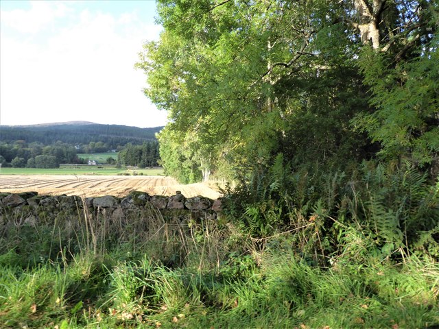
Caterans' Howe Covert is a picturesque woodland located in Kincardineshire, Scotland. Spread across an area of approximately 100 acres, it is considered one of the most beautiful woodlands in the region. The woodland is situated on a gentle slope, providing stunning views of the surrounding countryside.
The woodland primarily consists of native tree species such as oak, birch, and rowan, creating a diverse and vibrant ecosystem. The dense canopy formed by these trees offers a haven for various bird species, including woodpeckers, owls, and songbirds. The forest floor is covered with a lush carpet of ferns, mosses, and wildflowers, adding to the charm and natural beauty of the woodland.
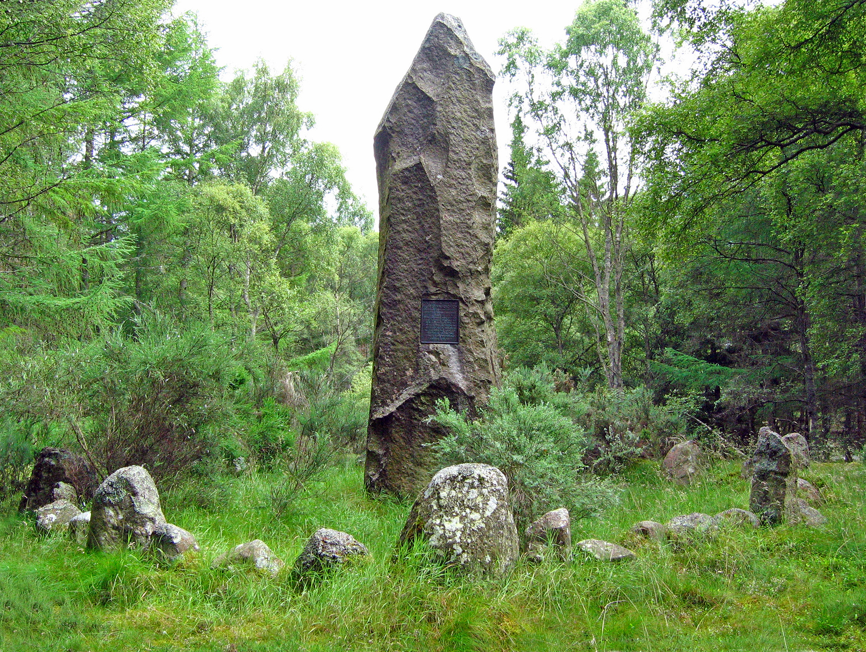
Caterans' Howe Covert has a rich history, with the name "Caterans" referring to the Scottish Highland raiders who once roamed the area. The woodland is said to have provided cover and shelter for these raiders during their operations. Today, the remnants of their presence can still be seen, with ancient ruins and stone walls scattered throughout the woodland.
The woodland is a popular destination for nature enthusiasts, hikers, and photographers. Several well-marked trails wind through the woods, allowing visitors to explore and appreciate the natural wonders it has to offer. The tranquility and serenity of Caterans' Howe Covert make it an ideal spot for relaxation and a peaceful escape from the hustle and bustle of everyday life.
Overall, Caterans' Howe Covert in Kincardineshire is a captivating woodland that showcases the beauty of Scotland's natural landscape. Its rich history, diverse flora and fauna, and scenic vistas make it a must-visit destination for anyone seeking a memorable outdoor experience.
If you have any feedback on the listing, please let us know in the comments section below.
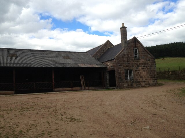
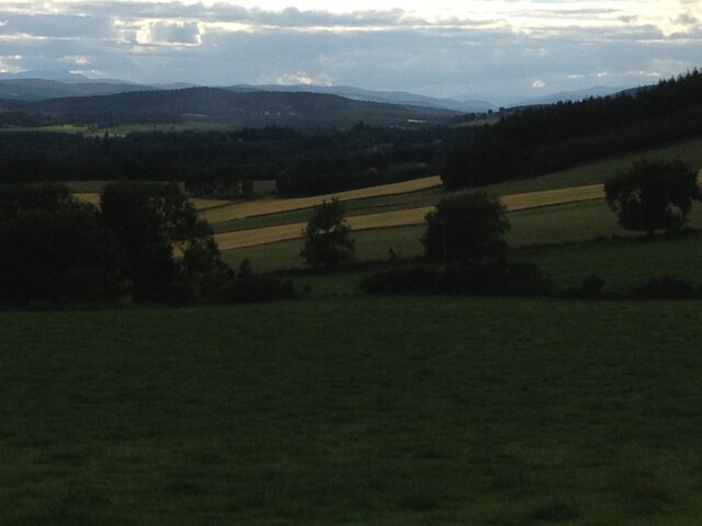
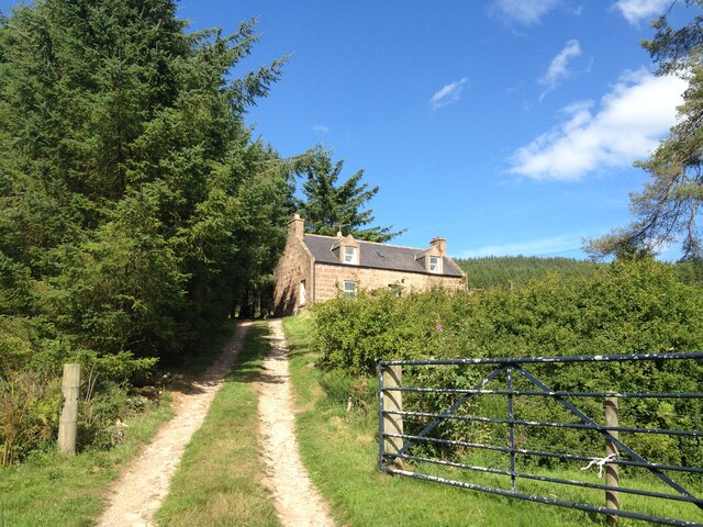
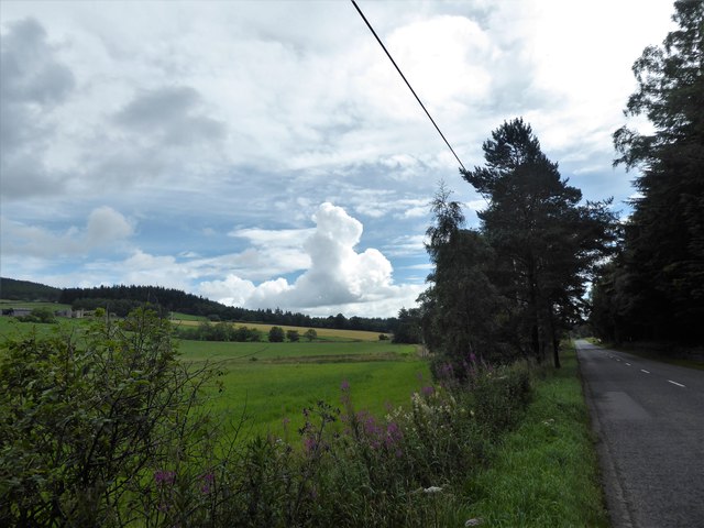
Caterans' Howe Covert Images
Images are sourced within 2km of 57.097088/-2.5030929 or Grid Reference NJ6900. Thanks to Geograph Open Source API. All images are credited.


Caterans' Howe Covert is located at Grid Ref: NJ6900 (Lat: 57.097088, Lng: -2.5030929)
Unitary Authority: Aberdeenshire
Police Authority: North East
What 3 Words
///decrease.zipped.dustbin. Near Banchory, Aberdeenshire
Nearby Locations
Related Wikis

Raemoir House
Raemoir House is a Category B listed Georgian mansion house located in Banchory, Aberdeenshire, Scotland. Its origins date back to the Ha'Hoose (Hall House...

Cluny Crichton Castle
Cluny Crichton Castle (also known as Clounie Crighton Castle) is a ruined 3-story tower house on the southern slopes of the Hill of Fare in Aberdeenshire...
Battle of Corrichie
The Battle of Corrichie was fought on the slopes of the Hill of Fare in Aberdeenshire, Scotland, on 28 October 1562. It was fought between the forces of...

Hill of Fare
The Hill of Fare is a small hill in Aberdeenshire, Scotland. It is located about 5 km (3 miles) northeast of the village of Torphins. The hill is long...

Brathens
Brathens is a village in Aberdeenshire, Scotland. == References ==

Glen o' Dee Hospital
Glen o' Dee Hospital is situated in the west end of Banchory, Aberdeenshire, Scotland. It is a small community hospital that provides services for the...

Beltie Burn
The Beltie Burn is a burn in Aberdeenshire, Scotland, which below Torphins and Glassel is known as the Burn of Canny. It begins in the hill of Benaquhallie...

Midmar Castle
Midmar Castle is a 16th-century castle in Aberdeenshire, Scotland, located 12 kilometres (7.5 mi) west of Westhill and 3.5 kilometres (2.2 mi) west of...
Nearby Amenities
Located within 500m of 57.097088,-2.5030929Have you been to Caterans' Howe Covert?
Leave your review of Caterans' Howe Covert below (or comments, questions and feedback).