Craigbeg Wood
Wood, Forest in Kincardineshire
Scotland
Craigbeg Wood
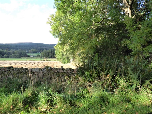
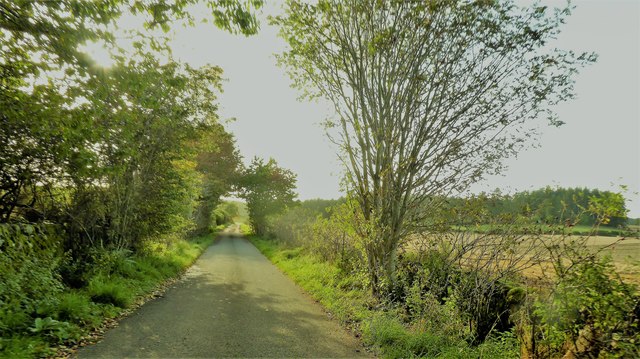
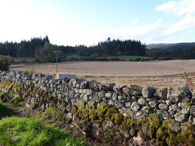
Craigbeg Wood is a picturesque forest located in the region of Kincardineshire, Scotland. Covering an area of approximately 50 hectares, this enchanting wood is nestled within the beautiful Mearns countryside, providing visitors with a tranquil escape from the hustle and bustle of everyday life.
The wood boasts a diverse range of flora and fauna, making it a haven for nature enthusiasts. The towering trees, predominantly composed of oak and birch, create a dense canopy that filters the sunlight and creates a cool and serene atmosphere. Beneath the canopy, the forest floor is adorned with a vibrant carpet of wildflowers, ferns, and moss, creating a visually stunning landscape.
Visitors can explore the wood through a series of well-maintained walking trails that wind their way through the forest. These trails cater to various levels of fitness and offer opportunities for both leisurely strolls and more challenging hikes. Along the way, visitors can expect to encounter a diverse array of wildlife, including red squirrels, roe deer, and a multitude of bird species.
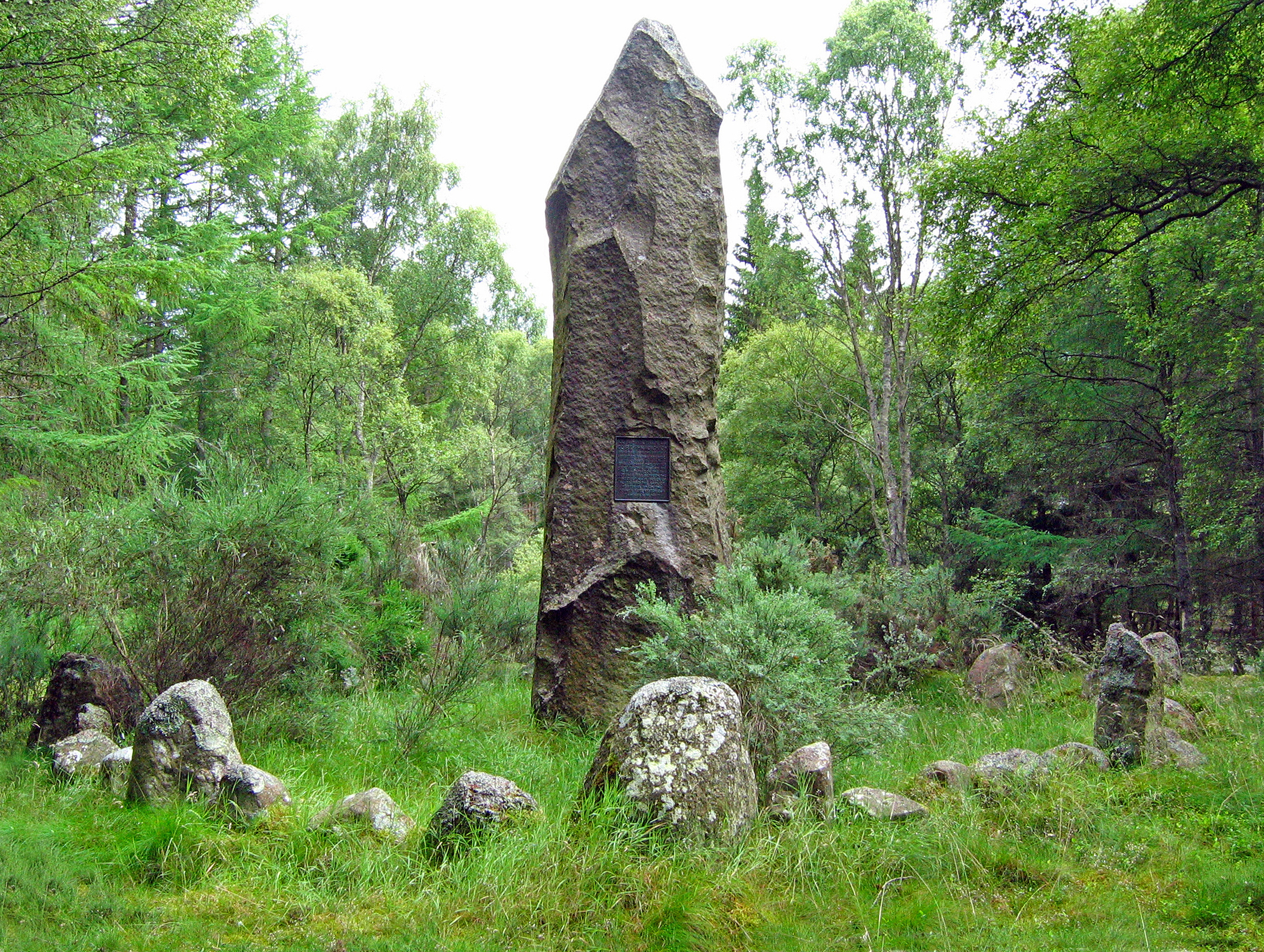
Craigbeg Wood also holds historical significance, with remnants of ancient settlements and stone circles scattered throughout the area. These archaeological features provide a glimpse into the rich history of the region and add an extra layer of intrigue to the wood.
Overall, Craigbeg Wood is a captivating natural treasure, offering visitors a serene and immersive experience in the heart of Scotland's countryside. Whether it is for a peaceful walk, birdwatching, or a deeper connection with nature, this enchanting forest is sure to leave a lasting impression on all who visit.
If you have any feedback on the listing, please let us know in the comments section below.
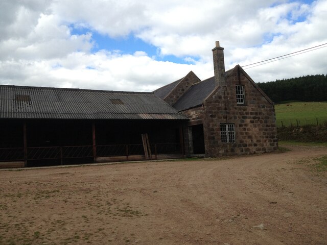
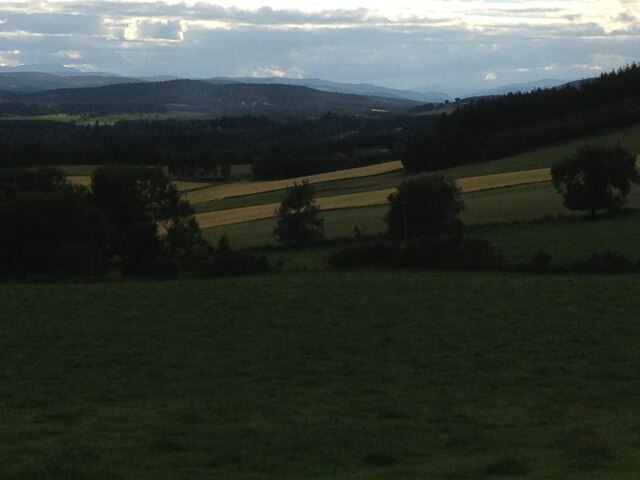
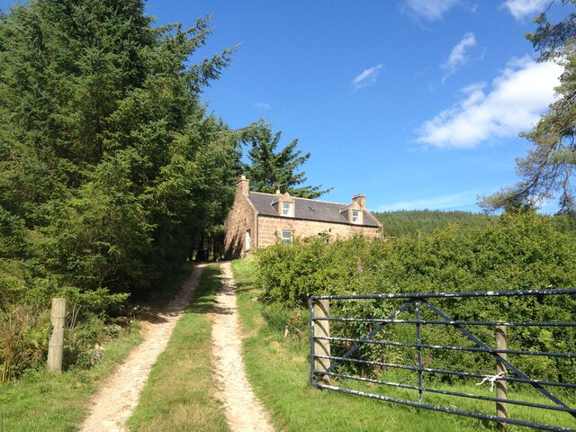
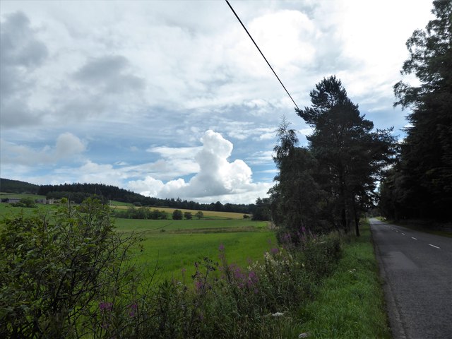
Craigbeg Wood Images
Images are sourced within 2km of 57.092042/-2.5070511 or Grid Reference NJ6900. Thanks to Geograph Open Source API. All images are credited.


Craigbeg Wood is located at Grid Ref: NJ6900 (Lat: 57.092042, Lng: -2.5070511)
Unitary Authority: Aberdeenshire
Police Authority: North East
What 3 Words
///harmless.duty.guests. Near Banchory, Aberdeenshire
Nearby Locations
Related Wikis

Raemoir House
Raemoir House is a Category B listed Georgian mansion house located in Banchory, Aberdeenshire, Scotland. Its origins date back to the Ha'Hoose (Hall House...

Cluny Crichton Castle
Cluny Crichton Castle (also known as Clounie Crighton Castle) is a ruined 3-story tower house on the southern slopes of the Hill of Fare in Aberdeenshire...
Battle of Corrichie
The Battle of Corrichie was fought on the slopes of the Hill of Fare in Aberdeenshire, Scotland, on 28 October 1562. It was fought between the forces of...

Brathens
Brathens is a village in Aberdeenshire, Scotland. == References ==

Hill of Fare
The Hill of Fare is a small hill in Aberdeenshire, Scotland. It is located about 5 km (3 miles) northeast of the village of Torphins. The hill is long...

Glen o' Dee Hospital
Glen o' Dee Hospital is situated in the west end of Banchory, Aberdeenshire, Scotland. It is a small community hospital that provides services for the...

Beltie Burn
The Beltie Burn is a burn in Aberdeenshire, Scotland, which below Torphins and Glassel is known as the Burn of Canny. It begins in the hill of Benaquhallie...

Glassel railway station
Glassel railway station is a disused railway station in Britain. It served Glassel House, the Mill of Beltie and the local farms and the inhabitants of...
Nearby Amenities
Located within 500m of 57.092042,-2.5070511Have you been to Craigbeg Wood?
Leave your review of Craigbeg Wood below (or comments, questions and feedback).