Aikendean Wood

Wood, Forest in East Lothian

Scotland

Aikendean Wood

Ford near Thurston Mains Signposted as a ford, but culverted.
Ford near Thurston Mains Credit: Andrew Smith

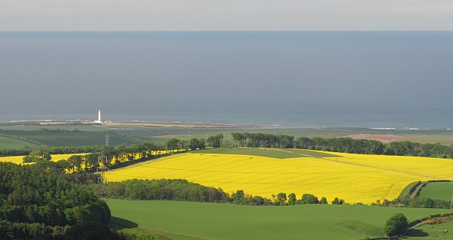
Aikendean Wood is a picturesque forest located in East Lothian, Scotland. Covering an area of approximately 150 acres, this woodland is a haven for nature enthusiasts and those seeking tranquility in the midst of stunning natural surroundings.

The wood is primarily composed of native Scottish tree species, including oak, birch, and hazel, creating a diverse and rich ecosystem. The dense canopy provides shade and shelter for a variety of flora and fauna, making it an ideal habitat for numerous bird species, small mammals, and insects.

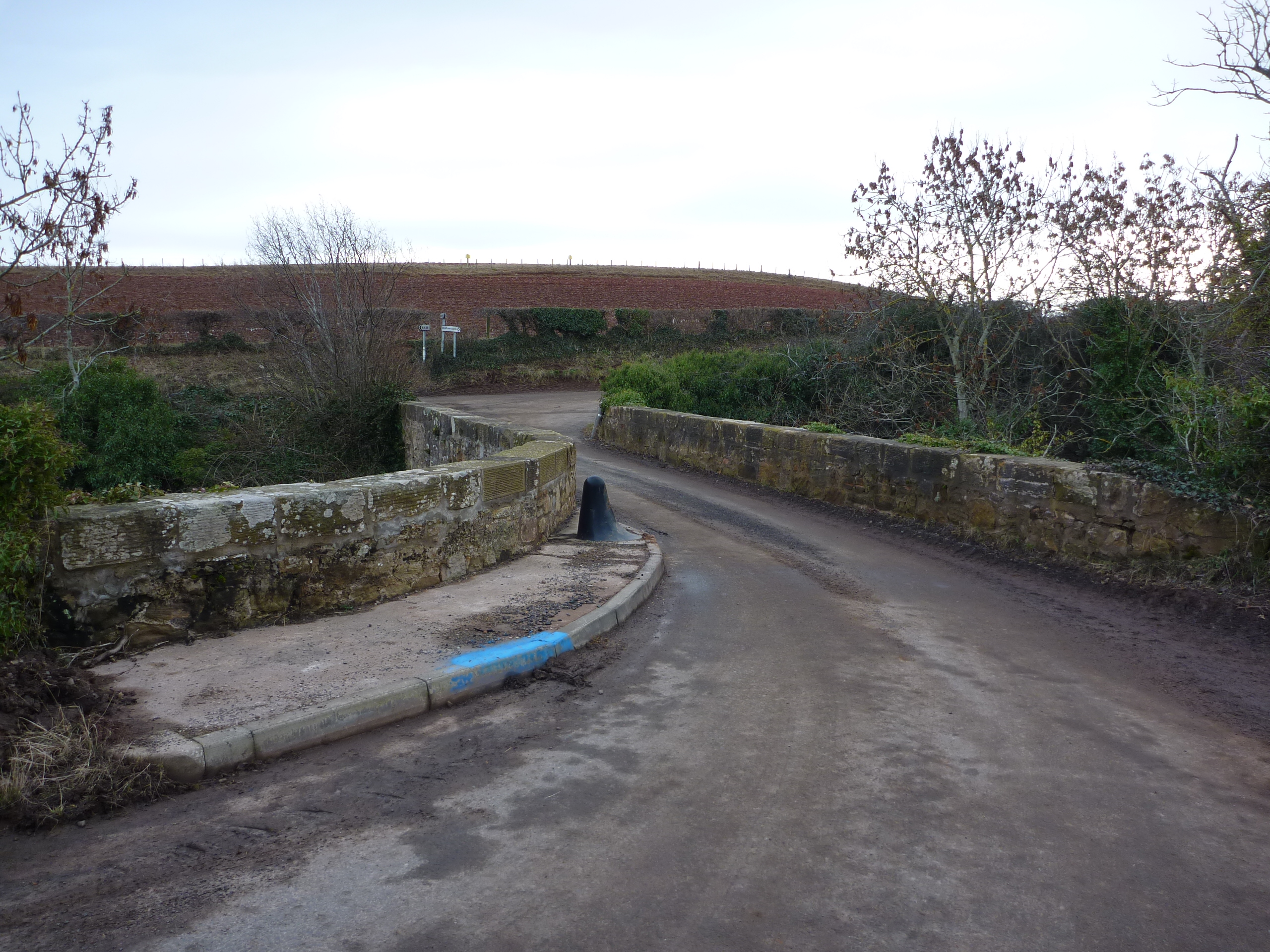
Aikendean Wood offers several well-maintained walking trails, allowing visitors to explore the forest's beauty at their own pace. The paths wind through the woodland, passing through sun-dappled clearings and alongside babbling streams. Along the way, one may encounter ancient trees, vibrant wildflowers, and moss-covered rocks.

The wood is also home to a range of historical features. Ruins of old buildings and stone walls can be found scattered throughout, providing a glimpse into the area's past. These remnants serve as a reminder of the wood's significance in local history and add an intriguing element to the overall experience.

Aikendean Wood is a popular destination for nature walks, picnics, and photography. Its peaceful atmosphere and stunning natural beauty make it an ideal escape from the hustle and bustle of everyday life. Whether one is a nature lover, history enthusiast, or simply seeking a serene retreat, Aikendean Wood offers an enchanting experience for all who visit.

If you have any feedback on the listing, please let us know in the comments section below.

Aikendean Wood Images

Images are sourced within 2km of 55.953758/-2.4882541 or Grid Reference NT6973. Thanks to Geograph Open Source API. All images are credited.

Ford near Thurston Mains Signposted as a ford, but culverted.
Ford near Thurston Mains
Signposted as a ford, but culverted.
Thurston Manor Vast caravan park.
Thurston Manor
Vast caravan park.
Thurston A patch of land yet to be covered in caravans. Woodland near Thurston Manor.
Thurston
A patch of land yet to be covered in caravans. Woodland near Thurston Manor.
Jubilee  well, Innerwick. Drinking trough, sadly out of commission as usual, built for Victoria's 50th.  Set in a mix of fields and woods.
Jubilee well, Innerwick.
Drinking trough, sadly out of commission as usual, built for Victoria's 50th. Set in a mix of fields and woods.
Pheasant feeder Inside a strip wood which seems to have recently been stripped of a lot of wood.
Pheasant feeder
Inside a strip wood which seems to have recently been stripped of a lot of wood.
Thurston Mains Just in the corner. Large farm with cattle in for the winter. The mud tells you it's sandstone country.
Thurston Mains
Just in the corner. Large farm with cattle in for the winter. The mud tells you it's sandstone country.
Thurston Mains Burn Waterfall on the burn and on the grid line.... GPS says it is in 7172, but a different constellation of satellites may move it.  Lovely burn.
Thurston Mains Burn
Waterfall on the burn and on the grid line.... GPS says it is in 7172, but a different constellation of satellites may move it. Lovely burn.
Torness pylons. To minimise their impact on the views these were run right through the Lammermuirs. After all there's only boring moorland up there. Crossing the Thurston Mains glen.
Torness pylons.
To minimise their impact on the views these were run right through the Lammermuirs. After all there's only boring moorland up there. Crossing the Thurston Mains glen.
Thurston House Doocot Near the former Thurston mansion there is a dovecot in the upper part of a square building.There are twelve entry holes in a row below the eaves and it once contained 156 nests.
A second dovecot at Thurston has been demolished in recent years.
Thurston House Doocot
Near the former Thurston mansion there is a dovecot in the upper part of a square building.There are twelve entry holes in a row below the eaves and it once contained 156 nests. A second dovecot at Thurston has been demolished in recent years.
Turnip field, Thurston Mains Cattle feeding on turnips. This is strip grazing, an electric fence is moved a bit at a time, exposing a new strip of fodder.
Turnip field, Thurston Mains
Cattle feeding on turnips. This is strip grazing, an electric fence is moved a bit at a time, exposing a new strip of fodder.
Cottages near Thurston Manor
The road to Elmscleugh Running past Thurston Manor in East Lothian.
The road to Elmscleugh
Running past Thurston Manor in East Lothian.
Arable land, Thurston An oil seed rape field shows up strongly from the Lammermuir Hills. A few days later, after a day of heavy rain, the colour had gone.
View from the Harlegates Road.
Arable land, Thurston
An oil seed rape field shows up strongly from the Lammermuir Hills. A few days later, after a day of heavy rain, the colour had gone. View from the Harlegates Road.
Aikengall sign The sign at start of valley.
Aikengall sign
The sign at start of valley.
Rural East Lothian : Thurston Manor 132Kv Substation There are several 132Kv lines and substations in the rural district to the south of Dunbar. This one is just to the south-west of Thurston Manor caravan park. The route of this line westwards from here can be followed on the O.S. 1:25,000 map,  all the way to the Dunbar 132Kv substation at East Lodge, Pitcox (about 6 miles away). 

Note the fly-tipping in the foreground.
Rural East Lothian : Thurston Manor 132Kv Substation
There are several 132Kv lines and substations in the rural district to the south of Dunbar. This one is just to the south-west of Thurston Manor caravan park. The route of this line westwards from here can be followed on the O.S. 1:25,000 map, all the way to the Dunbar 132Kv substation at East Lodge, Pitcox (about 6 miles away). Note the fly-tipping in the foreground.
Rural East Lothian : Fly-tipping Near Thurston Manor 132Kv Substation For geographical and location context see <a href="https://www.geograph.org.uk/photo/2537766">NT7073 : Rural East Lothian : Thurston Manor 132Kv Substation</a> .
Rural East Lothian : Fly-tipping Near Thurston Manor 132Kv Substation
For geographical and location context see NT7073 : Rural East Lothian : Thurston Manor 132Kv Substation .
Rural East Lothian : Discarded DVDs Near Thurston Manor 132Kv Substation Hmm. Why would anyone wish to flytip Simon Schama's History of Britain?

For geographical and locational context see <a href="https://www.geograph.org.uk/photo/2537766">NT7073 : Rural East Lothian : Thurston Manor 132Kv Substation</a> .
Rural East Lothian : Discarded DVDs Near Thurston Manor 132Kv Substation
Hmm. Why would anyone wish to flytip Simon Schama's History of Britain? For geographical and locational context see NT7073 : Rural East Lothian : Thurston Manor 132Kv Substation .
Rural East Lothian : No.1 Compound, Thurston Manor 132 Kv Substation
Show me another place!

Aikendean Wood is located at Grid Ref: NT6973 (Lat: 55.953758, Lng: -2.4882541)

Unitary Authority: East Lothian

Police Authority: The Lothians and Scottish Borders

What 3 Words

///cuddled.carbon.noon. Near Dunbar, East Lothian

Related Wikis

Innerwick

Innerwick (Scottish Gaelic: Inbhir Mhuice) is a coastal civil parish and small village, which lies in the east of East Lothian, five miles (eight kilometres...

Spott, East Lothian

Spott is a small village on the eastern fringes of East Lothian in Scotland, just over 2 miles (3.2 km) south-west of Dunbar. The village straddles an...

Battle of Dunbar (1296)

The Battle of Dunbar was the only significant field action of the campaign of 1296 during the beginning of the First War of Scottish Independence. ��2...

Battle of Dunbar (1650)

The Battle of Dunbar was fought between the English New Model Army, under Oliver Cromwell, and a Scottish army commanded by David Leslie on 3 September...

Blackcastle Hill, East Lothian

Blackcastle Hill is an Iron Age hill fort south of Innerwick, East Lothian, Scotland. It is near Cocklaw in the Lammermuir Hills at grid reference NT729724...

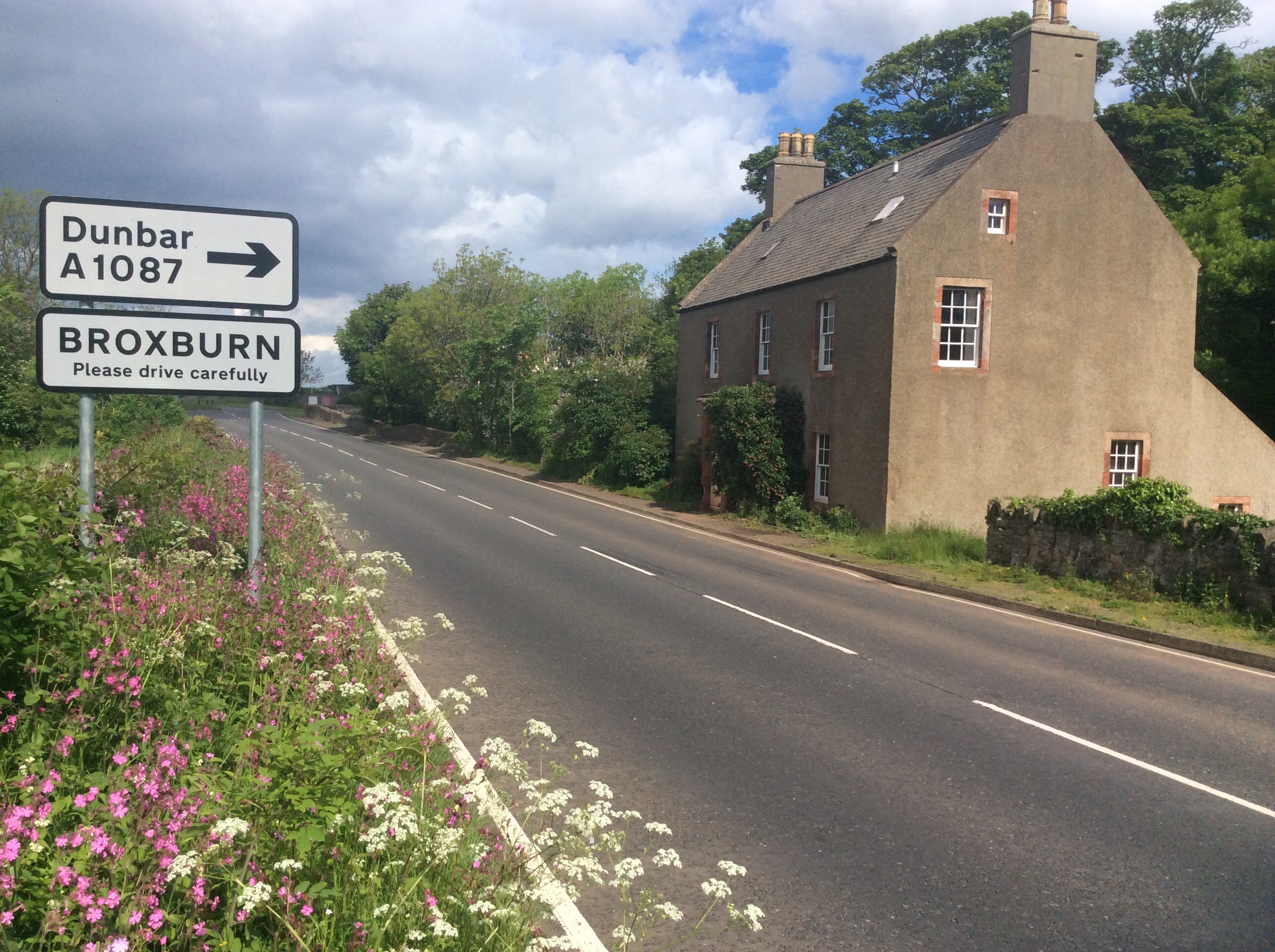
Broxburn, East Lothian

Broxburn is a hamlet consisting of a handful of scattered houses which serve the Broxmouth estate in East Lothian, Scotland. It is named after the stream...

Innerwick Castle

Innerwick Castle is a ruined castle in East Lothian, Scotland, near the village of Innerwick, 5 miles (8.0 km) from Dunbar, on the Thornton Burn, and overlooking...

Thornton Castle

Thornton Castle was a Scottish fortress belonging to the Montgomery family and subsequently Lord Home near Innerwick in East Lothian. Thornton Castle...

Nearby Amenities

Located within 500m of 55.953758,-2.4882541
Power: tower
Source: bing
Lat/Long: 55.9542359/-2.4885076
Power: tower
Source: bing
Lat/Long: 55.953649/-2.4929372
Power: tower
Source: bing
Lat/Long: 55.9548059/-2.4854899
Power: tower
Source: bing
Lat/Long: 55.9555111/-2.4817866
The data included in this document is from www.openstreetmap.org. The data is made available under ODbL.

Have you been to Aikendean Wood?

Leave your review of Aikendean Wood below (or comments, questions and feedback).