Anne's Park

Wood, Forest in Aberdeenshire

Scotland

Anne's Park

Fraser mausoleum, Cluny Old Kirkyard Yet another view of the A-listed (see: <span class="nowrap"><a title="http://data.historic-scotland.gov.uk/pls/htmldb/f?p=2200:15:0::::BUILDING:2947" rel="nofollow ugc noopener" href="http://data.historic-scotland.gov.uk/pls/htmldb/f?p=2200:15:0::::BUILDING:2947">Link</a><img style="margin-left:2px;" alt="External link" title="External link - shift click to open in new window" src="https://s1.geograph.org.uk/img/external.png" width="10" height="10"/></span> ) "pepper pot" mausoleum from ca. 1808 with the Fraser arms (Quarterly, 1st and 4th, azure three frases argent; 2nd and 3rd, argent three antique crowns gules; over the quarters a crescent argent) above the gated doorway.  Compare: <a title="https://www.geograph.org.uk/photo/3688733" href="https://www.geograph.org.uk/photo/3688733">Link</a> .
Fraser mausoleum, Cluny Old Kirkyard Credit: Bill Harrison

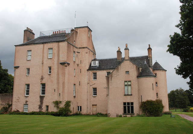
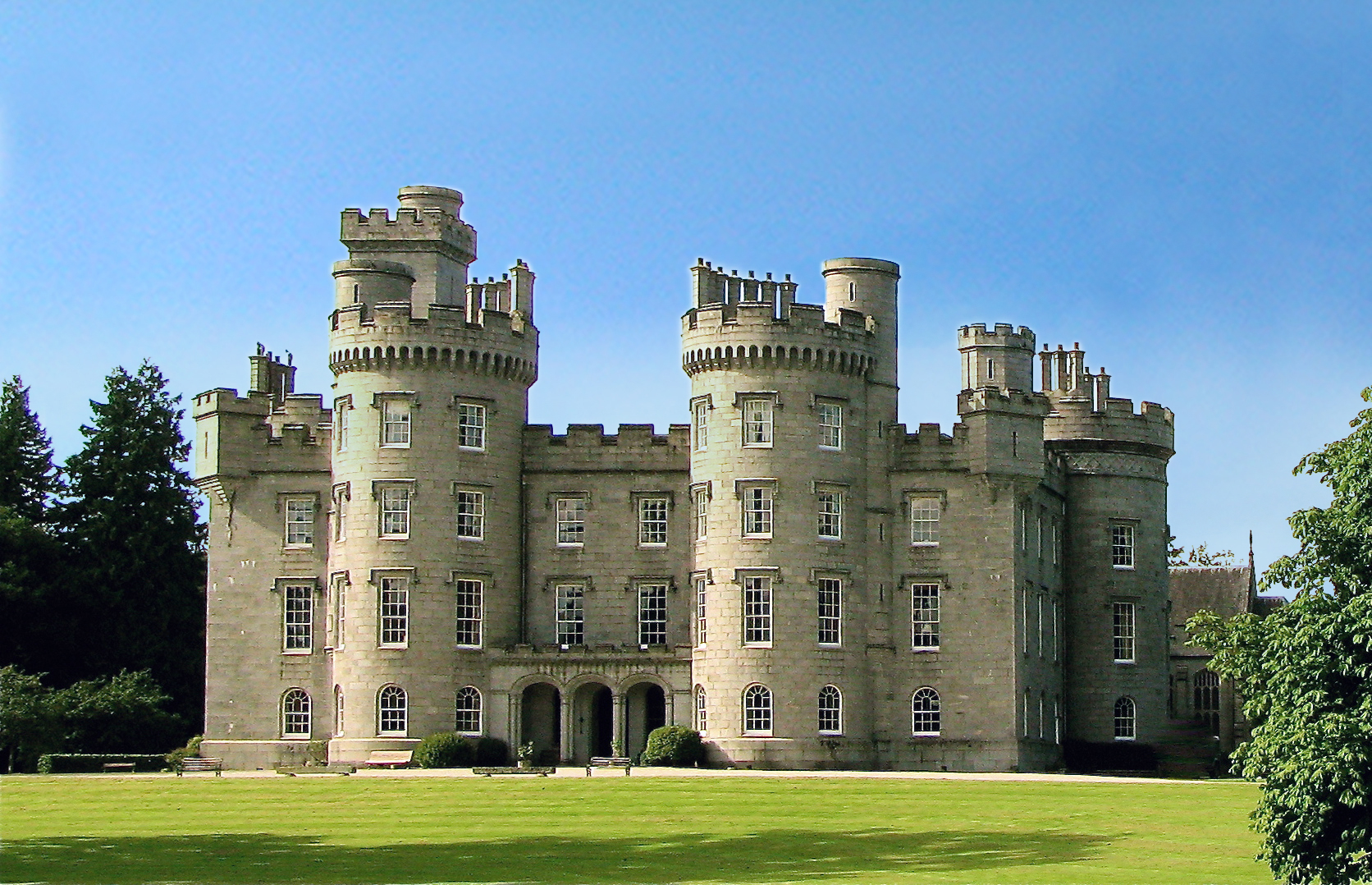
Anne's Park is a picturesque woodland located in Aberdeenshire, Scotland. Covering an area of approximately 100 acres, it offers visitors a serene and tranquil escape from the hustle and bustle of city life. The park is named after Anne, a renowned historical figure who once resided in the nearby castle.

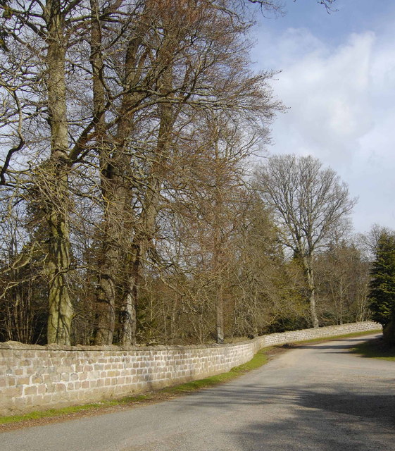
The park is abundant in diverse flora and fauna, boasting a rich variety of trees including oak, birch, and pine. These majestic trees create a dense canopy that provides shade and adds to the park's natural beauty. Walking along the well-maintained trails, visitors can enjoy the peaceful atmosphere while being surrounded by the soothing sounds of nature.

Anne's Park is also home to a wide range of wildlife. Birdwatchers will delight in the opportunity to spot various species of birds, such as woodpeckers, owls, and finches, as they flit among the treetops. Squirrels can be seen scampering along the branches, adding a touch of playful charm to the park.

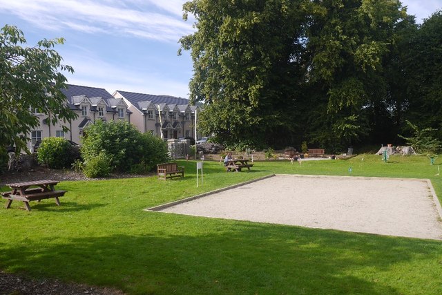
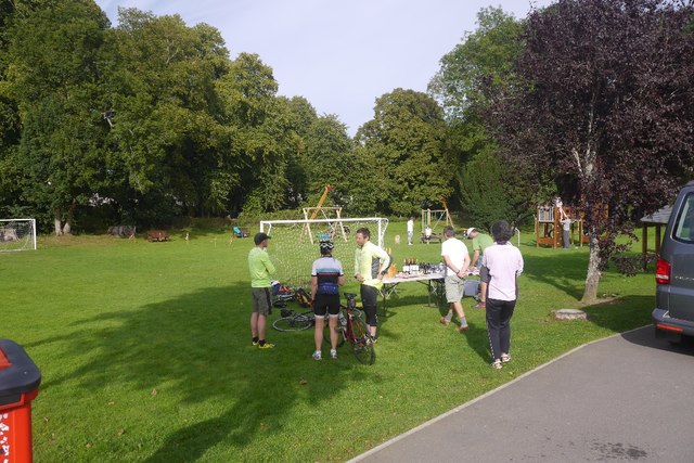
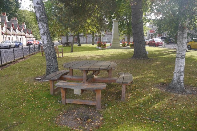
The park offers several amenities to enhance the visitor experience. Picnic areas are scattered throughout, providing a perfect spot for families and friends to gather and enjoy a meal amidst the natural surroundings. Additionally, there are designated areas for outdoor recreational activities such as cycling and jogging, allowing visitors to engage in physical exercise while enjoying the park's scenic beauty.

Overall, Anne's Park in Aberdeenshire is a captivating woodland retreat that offers a peaceful respite for nature lovers and outdoor enthusiasts alike. With its diverse flora and fauna, well-maintained trails, and recreational facilities, it is a must-visit destination for those seeking to reconnect with nature in a serene and picturesque setting.

If you have any feedback on the listing, please let us know in the comments section below.
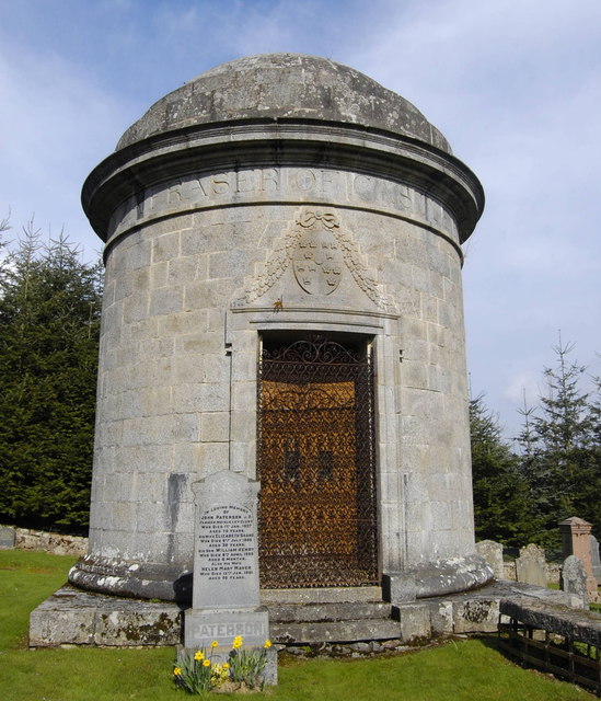
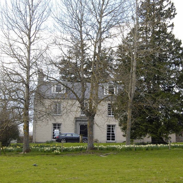
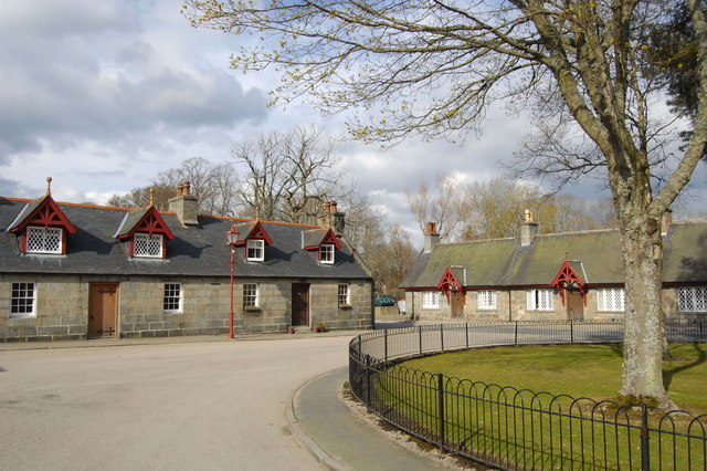
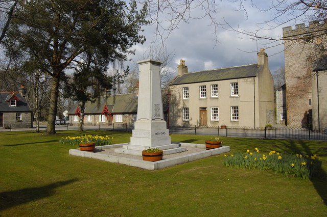
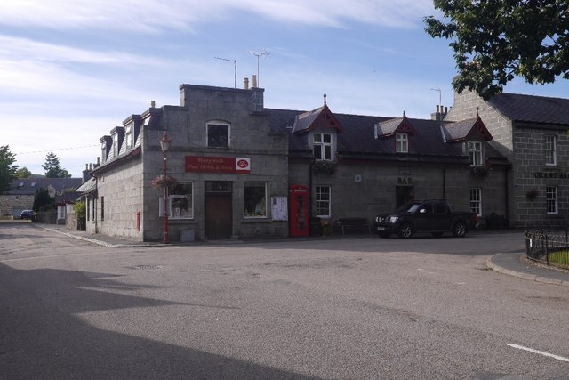
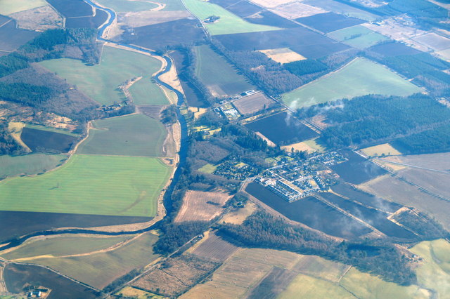
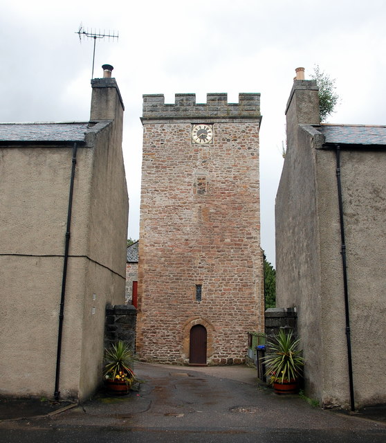
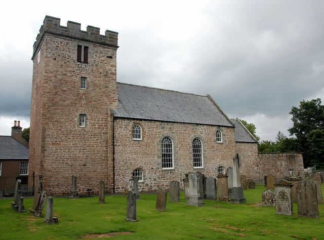
Anne's Park Images

Images are sourced within 2km of 57.216205/-2.5118497 or Grid Reference NJ6914. Thanks to Geograph Open Source API. All images are credited.

Fraser mausoleum, Cluny Old Kirkyard Yet another view of the A-listed (see: <span class="nowrap"><a title="http://data.historic-scotland.gov.uk/pls/htmldb/f?p=2200:15:0::::BUILDING:2947" rel="nofollow ugc noopener" href="http://data.historic-scotland.gov.uk/pls/htmldb/f?p=2200:15:0::::BUILDING:2947">Link</a><img style="margin-left:2px;" alt="External link" title="External link - shift click to open in new window" src="https://s1.geograph.org.uk/img/external.png" width="10" height="10"/></span> ) "pepper pot" mausoleum from ca. 1808 with the Fraser arms (Quarterly, 1st and 4th, azure three frases argent; 2nd and 3rd, argent three antique crowns gules; over the quarters a crescent argent) above the gated doorway.  Compare: <a title="https://www.geograph.org.uk/photo/3688733" href="https://www.geograph.org.uk/photo/3688733">Link</a> .
Fraser mausoleum, Cluny Old Kirkyard
Yet another view of the A-listed (see: LinkExternal link ) "pepper pot" mausoleum from ca. 1808 with the Fraser arms (Quarterly, 1st and 4th, azure three frases argent; 2nd and 3rd, argent three antique crowns gules; over the quarters a crescent argent) above the gated doorway. Compare: Link .
The Old Manse, Cluny C-listed (see: <span class="nowrap"><a title="http://data.historic-scotland.gov.uk/pls/htmldb/f?p=2200:15:0::::BUILDING:147" rel="nofollow ugc noopener" href="http://data.historic-scotland.gov.uk/pls/htmldb/f?p=2200:15:0::::BUILDING:147">Link</a><img style="margin-left:2px;" alt="External link" title="External link - shift click to open in new window" src="https://s1.geograph.org.uk/img/external.png" width="10" height="10"/></span> ) from about 1850.
The Old Manse, Cluny
C-listed (see: LinkExternal link ) from about 1850.
14 and 15 Monymusk Square Terraced cottages facing the village green at Monymusk.  They were built around 1840 and the mock-Tudor gables were added around 1890.
14 and 15 Monymusk Square
Terraced cottages facing the village green at Monymusk. They were built around 1840 and the mock-Tudor gables were added around 1890.
Monymusk war memorial... ...at the centre of the village green.  This side of the monument lists the 11 men who fell in World War II.  In the right background is the A-listed Monymusk Parish Church.
Monymusk war memorial...
...at the centre of the village green. This side of the monument lists the 11 men who fell in World War II. In the right background is the A-listed Monymusk Parish Church.
The Great Wall A small section of the wall that surrounds most of the grounds of Cluny Castle.
The Great Wall
A small section of the wall that surrounds most of the grounds of Cluny Castle.
Linton burial enclosure, Cluny Old Kirkyard The A-listed Linton House is a few km away, near the village of Sauchen.
Linton burial enclosure, Cluny Old Kirkyard
The A-listed Linton House is a few km away, near the village of Sauchen.
Monymusk The village, with new houses mirroring the 19th century developments, seen from the summit of Cairn William.
Monymusk
The village, with new houses mirroring the 19th century developments, seen from the summit of Cairn William.
River Don, Monymusk View towards Aberdeen ( hidden behind Brimmond Hill on the horizon) from Cairn William.
River Don, Monymusk
View towards Aberdeen ( hidden behind Brimmond Hill on the horizon) from Cairn William.
Park, Monymusk An area set aside for Pétanque with the hill runners course marked coming in from the road. At this time runners were climbing Pitfichie Hill and Cairn William.  Across the road there are some new houses arranged in a square like the older village centre.
Park, Monymusk
An area set aside for Pétanque with the hill runners course marked coming in from the road. At this time runners were climbing Pitfichie Hill and Cairn William. Across the road there are some new houses arranged in a square like the older village centre.
Event HQ, Cosmic Hill Runners A hill race was in progress on Cairn William, and the prizes look appetising.  We never got bottles of wine when orienteering - then again, hill runners often miss out on the often beautiful maps.
Event HQ, Cosmic Hill Runners
A hill race was in progress on Cairn William, and the prizes look appetising. We never got bottles of wine when orienteering - then again, hill runners often miss out on the often beautiful maps.
Monymusk Square Just the place to blob out when out on the bike (I was not), with picnic tables in the centre of the village. Over the road there were teas in the Community Hall.
Monymusk Square
Just the place to blob out when out on the bike (I was not), with picnic tables in the centre of the village. Over the road there were teas in the Community Hall.
Monymusk Late 19th century houses in a planned village.
Monymusk
Late 19th century houses in a planned village.
Post office, Monymusk On the square.
Post office, Monymusk
On the square.
The hill runners return Finish run in for the hill race up Cairn William.
The hill runners return
Finish run in for the hill race up Cairn William.
Monymusk and the River Don from the air Taken from a plane flying between Manchester and Aberdeen.
Monymusk and the River Don from the air
Taken from a plane flying between Manchester and Aberdeen.
Monymusk Parish Kirk The classic view from the village green of the 12th Century tower of what is thought to have originally been an Augustinian Priory.  It was rebuilt twice in the 19th Century and in the second of these (1891), the 'bad' crenellated parapet was added.  Despite this, the church is A-listed: <span class="nowrap"><a title="http://portal.historicenvironment.scot/designation/LB15987" rel="nofollow ugc noopener" href="http://portal.historicenvironment.scot/designation/LB15987">Link</a><img style="margin-left:2px;" alt="External link" title="External link - shift click to open in new window" src="https://s1.geograph.org.uk/img/external.png" width="10" height="10"/></span> .
Monymusk Parish Kirk
The classic view from the village green of the 12th Century tower of what is thought to have originally been an Augustinian Priory. It was rebuilt twice in the 19th Century and in the second of these (1891), the 'bad' crenellated parapet was added. Despite this, the church is A-listed: LinkExternal link .
Monymusk Parish Kirk View from the south-west.  The church dates from the 12th Century but has been heavily rebuilt several times over the last 800 years.  The unusual arrangement of windows on the south side of the nave date from 1822 and reflect reformed worship: two large windows either side of the pulpit (against the south wall at the time) and smaller windows for the pews (lower) and galleries (upper).  Traces of the 17th Century minister's door between the large windows are just visible. The interior was reconfigured in ca. 1930 to a west-east nave/chancel orientation.
Monymusk Parish Kirk
View from the south-west. The church dates from the 12th Century but has been heavily rebuilt several times over the last 800 years. The unusual arrangement of windows on the south side of the nave date from 1822 and reflect reformed worship: two large windows either side of the pulpit (against the south wall at the time) and smaller windows for the pews (lower) and galleries (upper). Traces of the 17th Century minister's door between the large windows are just visible. The interior was reconfigured in ca. 1930 to a west-east nave/chancel orientation.
House of Monymusk A fine 16th Century Scottish tower house with later additions; A-listed: <span class="nowrap"><a title="http://portal.historicenvironment.scot/designation/LB15967" rel="nofollow ugc noopener" href="http://portal.historicenvironment.scot/designation/LB15967">Link</a><img style="margin-left:2px;" alt="External link" title="External link - shift click to open in new window" src="https://s1.geograph.org.uk/img/external.png" width="10" height="10"/></span> .  Now a wedding and conference venue.
House of Monymusk
A fine 16th Century Scottish tower house with later additions; A-listed: LinkExternal link . Now a wedding and conference venue.
Show me another place!

Anne's Park is located at Grid Ref: NJ6914 (Lat: 57.216205, Lng: -2.5118497)

Unitary Authority: Aberdeenshire

Police Authority: North East

What 3 Words

///trickster.apricot.square. Near Sauchen, Aberdeenshire

Related Wikis

Nearby Amenities

Located within 500m of 57.216205,-2.5118497
Crossing
Lat/Long: 57.2171509/-2.5163251
Power: pole
Lat/Long: 57.2122388/-2.5110994
Power: pole
Lat/Long: 57.2128681/-2.5111976
Power: pole
Lat/Long: 57.2135378/-2.511298
Power: pole
Lat/Long: 57.2141891/-2.5113984
Power: pole
Lat/Long: 57.2148322/-2.5114903
Power: pole
Lat/Long: 57.2154764/-2.51158
Power: pole
Lat/Long: 57.2159784/-2.5119346
Power: pole
Lat/Long: 57.2165463/-2.5123532
Power: pole
Lat/Long: 57.2170864/-2.5127292
Power: pole
Lat/Long: 57.2172333/-2.5128061
Power: pole
Lat/Long: 57.2178671/-2.5131607
Power: pole
Lat/Long: 57.2184893/-2.5135259
Power: pole
Lat/Long: 57.2191081/-2.513857
Power: pole
Lat/Long: 57.2197592/-2.514171
Material: wood
Power: pole
Lat/Long: 57.2204114/-2.5145064
Power: pole
Lat/Long: 57.2137187/-2.505843
Power: pole
Lat/Long: 57.2136789/-2.506938
Power: pole
Lat/Long: 57.2136459/-2.5080052
Power: pole
Lat/Long: 57.2136114/-2.5091597
Power: pole
Lat/Long: 57.2135723/-2.5101992
Historic Railway: spur_junction
Lat/Long: 57.2171382/-2.5178567
The data included in this document is from www.openstreetmap.org. The data is made available under ODbL.

Have you been to Anne's Park?

Leave your review of Anne's Park below (or comments, questions and feedback).