Moor of Mains Wood
Wood, Forest in Aberdeenshire
Scotland
Moor of Mains Wood
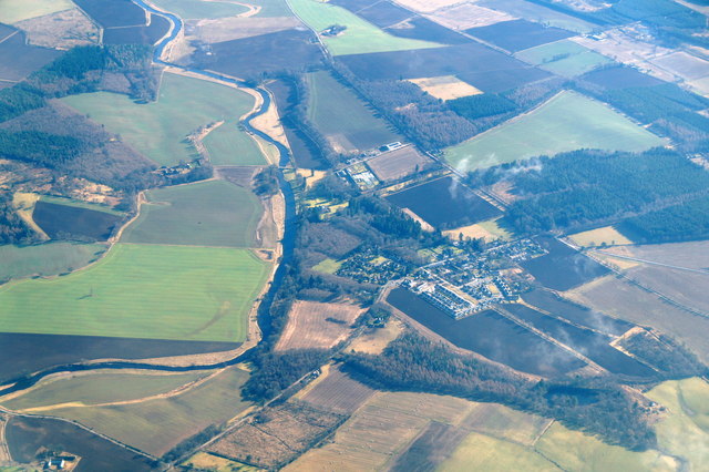
Moor of Mains Wood is a picturesque forest located in Aberdeenshire, Scotland. Covering an area of approximately 100 hectares, it is a natural haven that boasts an abundance of diverse flora and fauna. The wood is situated near the small village of Crathes, just a short drive away from the city of Aberdeen.
The woodland is predominantly composed of native broadleaf species such as oak, birch, and rowan, providing a rich and varied habitat for a wide range of wildlife. Many species of birds, including woodpeckers, thrushes, and owls, can be spotted among the treetops, while mammals such as red squirrels, badgers, and roe deer roam the forest floor.
Moor of Mains Wood offers a network of well-maintained trails, providing visitors with the opportunity to explore and enjoy the tranquil surroundings. The paths wind through the trees, offering glimpses of vibrant wildflowers and ferns that carpet the forest floor during the spring and summer months. The autumn brings a spectacular display of colors as the leaves change, creating a breathtaking landscape.
In addition to its natural beauty, the wood also has historical significance. It is believed to have been part of the historic estate of Crathes Castle, a nearby 16th-century tower house. The woodland's proximity to the castle adds to its charm, inviting visitors to immerse themselves in both nature and history.
Overall, Moor of Mains Wood is a captivating forest that offers a serene escape from the hustle and bustle of urban life. With its diverse wildlife, scenic trails, and historical connections, it is a must-visit destination for nature enthusiasts and history buffs alike.
If you have any feedback on the listing, please let us know in the comments section below.
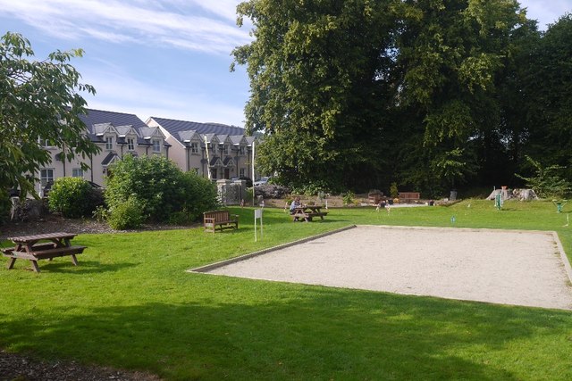
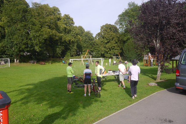
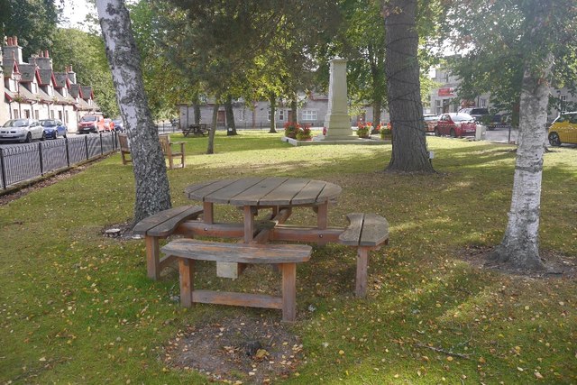
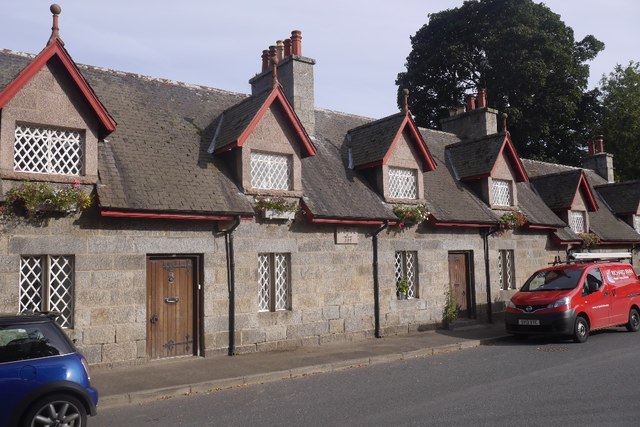
Moor of Mains Wood Images
Images are sourced within 2km of 57.222318/-2.5063371 or Grid Reference NJ6914. Thanks to Geograph Open Source API. All images are credited.


Moor of Mains Wood is located at Grid Ref: NJ6914 (Lat: 57.222318, Lng: -2.5063371)
Unitary Authority: Aberdeenshire
Police Authority: North East
What 3 Words
///bootleg.strikers.wiggling. Near Sauchen, Aberdeenshire
Nearby Locations
Related Wikis

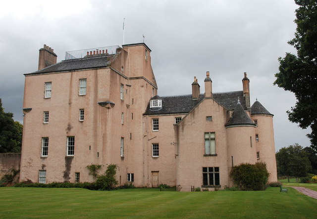
House of Monymusk
The House of Monymusk is located on the outskirts of the Scottish village of Monymusk, in the Marr region of Aberdeenshire. The house is located near the...

Monymusk railway station
Monymusk railway station was a station on the Alford Valley Railway in Monymusk, Aberdeenshire, Scotland. The station opened on 25 March 1859 and closed...

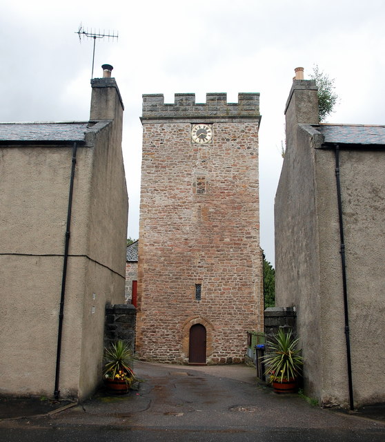
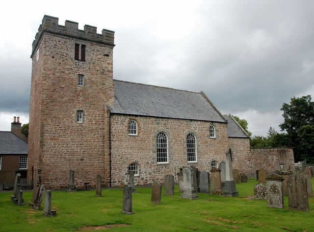
Monymusk Parish Church
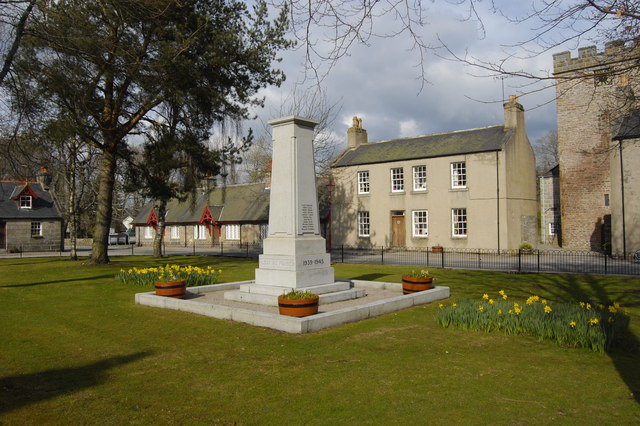
Monymusk Parish Church (also known as the Church of the Blessed Mary) is located in Monymusk, Aberdeenshire, Scotland. It is of Church of Scotland denomination...
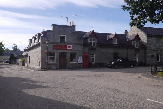
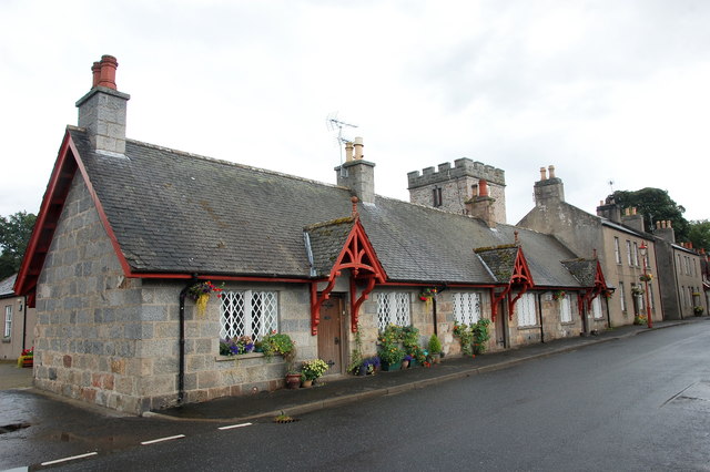
Monymusk
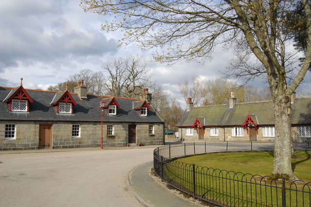
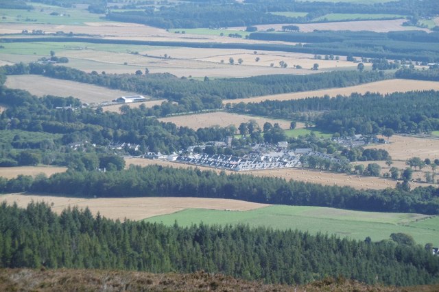
Monymusk (Scottish Gaelic: Monadh Musga) is a planned village in the Marr area of Aberdeenshire, Scotland. == History == Malcolm Canmore first established...
Nearby Amenities
Located within 500m of 57.222318,-2.5063371Have you been to Moor of Mains Wood?
Leave your review of Moor of Mains Wood below (or comments, questions and feedback).