Ploughlands Strip

Wood, Forest in Roxburghshire

Scotland

Ploughlands Strip

Old toll house The door to the single storey part of this building says Toll House.   Tolls for crossing a bridge over the River Teviot would have been collected although the bridge may have been a wooden predecessor to the current metal bridge.   This has been closed for over two years because of structural damage.  A local said that it may have to be completely replaced as much of the metal underneath is badly corroded.   And that will cost a lot of money.
Old toll house Credit: Chris Minto

Ploughlands Strip, located in Roxburghshire, is a remarkable woodland area renowned for its natural beauty and rich biodiversity. Spanning an approximate area of several hectares, this forested land is a precious gem within the Scottish Borders region.

The woodland is predominantly composed of mixed broadleaf species, including oak, beech, and birch, which create a stunning mosaic of colors during the autumn season. The trees tower overhead, forming a dense canopy that provides shelter and food for a variety of wildlife.

Ploughlands Strip boasts a diverse range of flora and fauna. The forest floor is carpeted with a vibrant assortment of wildflowers, including bluebells, primroses, and wood anemones, creating a picturesque scene. This floral diversity supports a thriving ecosystem, attracting numerous species of insects, birds, and mammals.

Birdwatchers frequent Ploughlands Strip to catch glimpses of the various avian species that call this woodland their home. It is not uncommon to spot species such as woodpeckers, nuthatches, and tree creepers, which thrive in the forested environment. Meanwhile, elusive mammals like red squirrels, roe deer, and badgers can occasionally be observed, adding to the excitement of exploring this natural haven.

Moreover, Ploughlands Strip offers a network of well-maintained walking trails, allowing visitors to immerse themselves in the tranquility of the forest. The paths wind through the trees, offering breathtaking views and opportunities for peaceful reflection.

Overall, Ploughlands Strip in Roxburghshire is a captivating woodland area that presents a unique opportunity to connect with nature. Its diverse range of flora and fauna, combined with its scenic walking trails, make it a must-visit destination for nature enthusiasts and those seeking a serene escape from the bustle of everyday life.

If you have any feedback on the listing, please let us know in the comments section below.

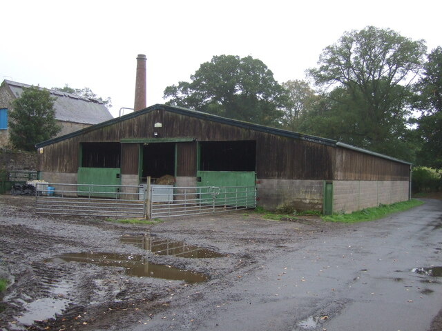
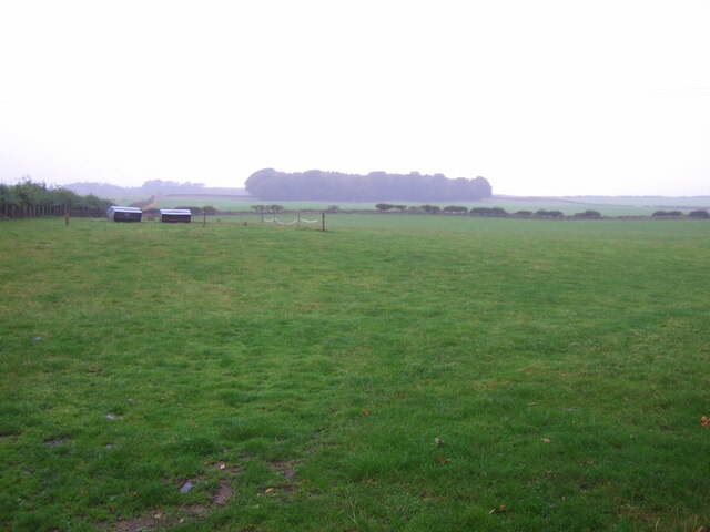
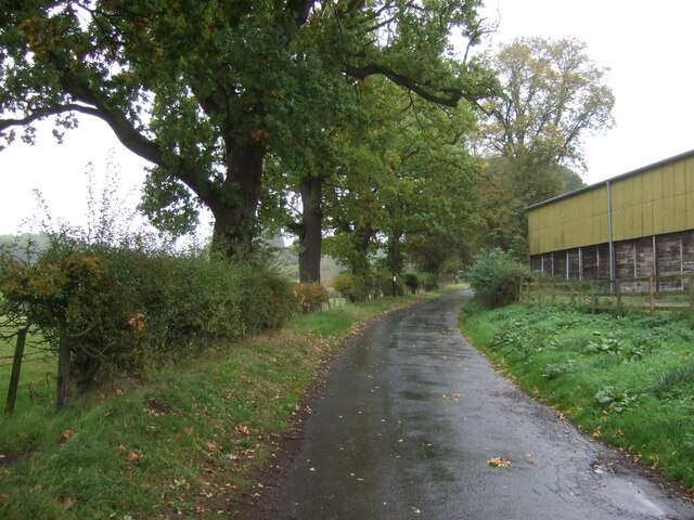
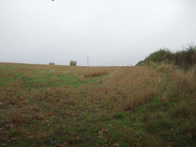
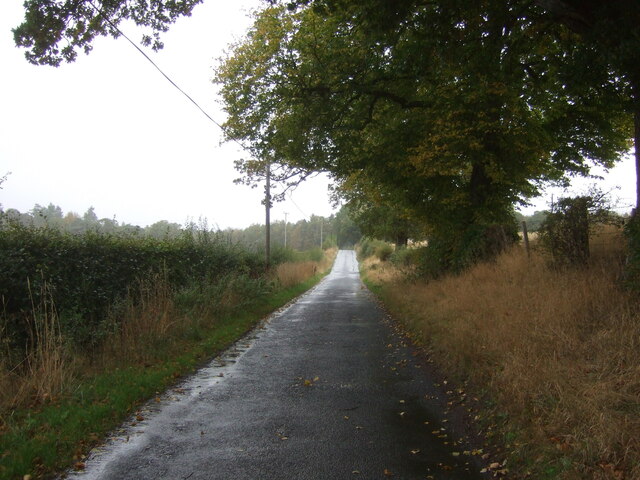
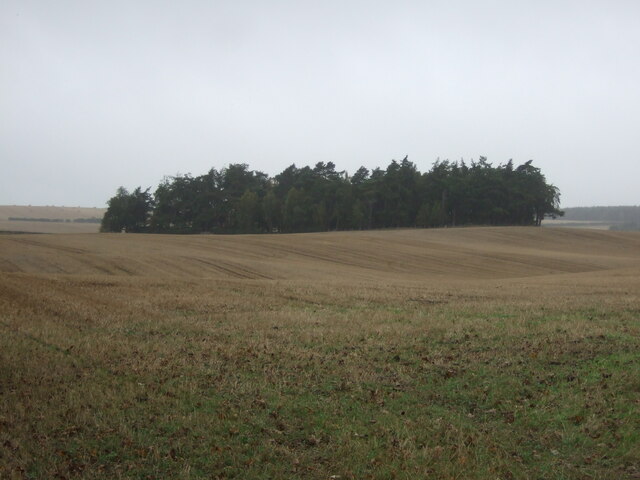
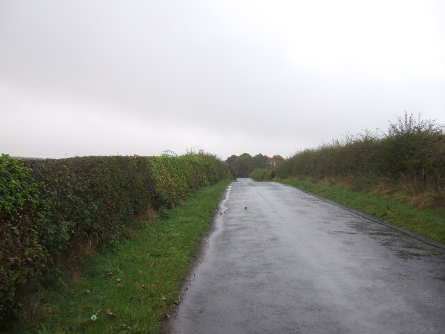
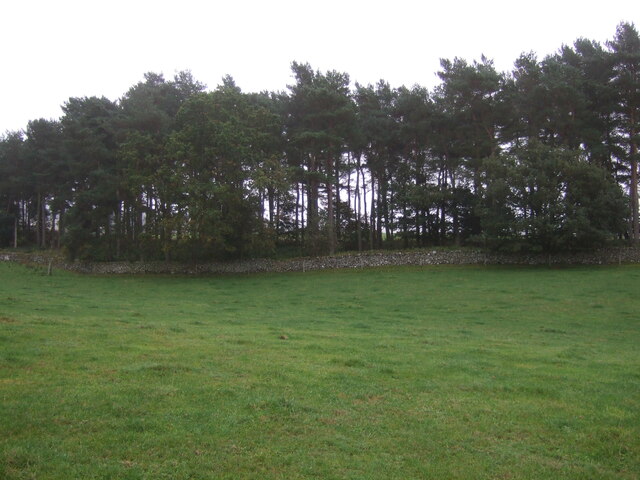
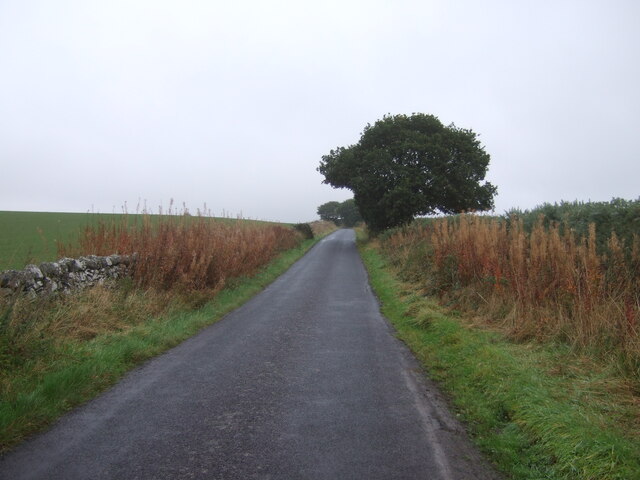
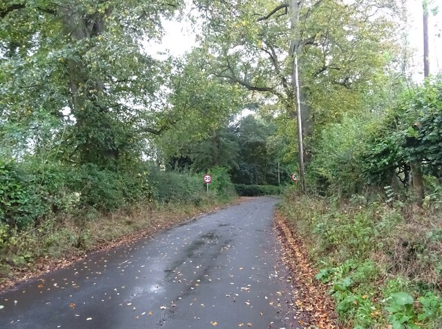
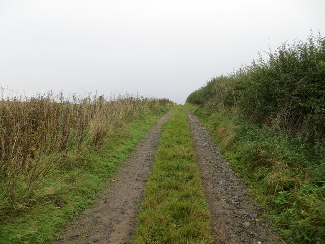
Ploughlands Strip Images

Images are sourced within 2km of 55.537587/-2.4915591 or Grid Reference NT6927. Thanks to Geograph Open Source API. All images are credited.

Old toll house The door to the single storey part of this building says Toll House.   Tolls for crossing a bridge over the River Teviot would have been collected although the bridge may have been a wooden predecessor to the current metal bridge.   This has been closed for over two years because of structural damage.  A local said that it may have to be completely replaced as much of the metal underneath is badly corroded.   And that will cost a lot of money.
Old toll house
The door to the single storey part of this building says Toll House. Tolls for crossing a bridge over the River Teviot would have been collected although the bridge may have been a wooden predecessor to the current metal bridge. This has been closed for over two years because of structural damage. A local said that it may have to be completely replaced as much of the metal underneath is badly corroded. And that will cost a lot of money.
River Teviot near Old Ormiston Looking north-westward. The hut is for the use of Jedforest Angling Association.
River Teviot near Old Ormiston
Looking north-westward. The hut is for the use of Jedforest Angling Association.
Minor road and building at Ormiston Mains Farm Looking north-westward.
Minor road and building at Ormiston Mains Farm
Looking north-westward.
Ordnance Survey Cut Mark This Mark can be found on the roadside wall of a building at Ormiston Mains.
The recorded details give a height of 48.2285 metres above sea level.
For more detail see : <span class="nowrap"><a title="https://www.bench-marks.org.uk/bm205169" rel="nofollow ugc noopener" href="https://www.bench-marks.org.uk/bm205169">Link</a><img style="margin-left:2px;" alt="External link" title="External link - shift click to open in new window" src="https://s1.geograph.org.uk/img/external.png" width="10" height="10"/></span>
Ordnance Survey Cut Mark
This Mark can be found on the roadside wall of a building at Ormiston Mains. The recorded details give a height of 48.2285 metres above sea level. For more detail see : LinkExternal link
Barn, East Nisbet
Barn, East Nisbet
Grazing, East Nisbet On a dreich day (hence lack of light and colour).
Grazing, East Nisbet
On a dreich day (hence lack of light and colour).
Minor road, East Nisbet Towards Roxburgh.
Minor road, East Nisbet
Towards Roxburgh.
Stubble field and bales near Whinny Knowe
Minor road towards Roxburgh
Stubble field and woodland, Upper Nisbet Undulating farmland on a dreich autumnal day.
Stubble field and woodland, Upper Nisbet
Undulating farmland on a dreich autumnal day.
Track to Upper Nisbet Farm Passes Ploughlands Pond Wood.
Track to Upper Nisbet Farm
Passes Ploughlands Pond Wood.
Minor road, Upper Nisbet Towards Roxburgh.
Minor road, Upper Nisbet
Towards Roxburgh.
Grazing beside woodland Towards a distant Kirkbank Strip woodland.
Grazing beside woodland
Towards a distant Kirkbank Strip woodland.
Minor road towards Roxburgh On a dreich day in the Borders.
Minor road towards Roxburgh
On a dreich day in the Borders.
Grazing towards woodland South of Roxburgh.
Grazing towards woodland
South of Roxburgh.
Minor road towards Roxburgh
Minor road into Nisbet
Field ebdge track and footpath at East Nisbet Looking south-eastward. The path links to the Borders Abbeys Way path.
Field ebdge track and footpath at East Nisbet
Looking south-eastward. The path links to the Borders Abbeys Way path.
Show me another place!

Ploughlands Strip is located at Grid Ref: NT6927 (Lat: 55.537587, Lng: -2.4915591)

Unitary Authority: The Scottish Borders

Police Authority: The Lothians and Scottish Borders

What 3 Words

///flamingo.device.sound. Near Maxwellheugh, Scottish Borders

Related Wikis

Kirkbank railway station

Kirkbank railway station served Old Ormiston, in the Scottish Borders, Scotland from 1856 to 1948 on the Jedburgh Railway. == History == The station opened...

Kale Water

The Kale Water is a 20 miles (32 km) long tributary of the River Teviot in the Scottish Borders area of Scotland. Its feeder burns in the Cheviot Hills...

Kalemouth

Kalemouth is a place in the Scottish Borders area of Scotland, where the Kale Water joins the River Teviot, near to Eckford, Cessford, Crailing, Kelso...

Eckford, Scottish Borders

Eckford is a small village located between the larger towns of Kelso and Jedburgh in the Scottish Borders. The village is in close proximity to both the...

Nearby Amenities

Located within 500m of 55.537587,-2.4915591
Give Way
Direction: backward
Lat/Long: 55.5362233/-2.4979285
Noexit: yes
Lat/Long: 55.53313/-2.4905452
The data included in this document is from www.openstreetmap.org. The data is made available under ODbL.

Have you been to Ploughlands Strip?

Leave your review of Ploughlands Strip below (or comments, questions and feedback).