Balwearie Wood
Wood, Forest in Kincardineshire
Scotland
Balwearie Wood
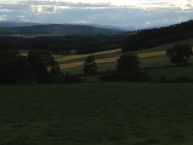
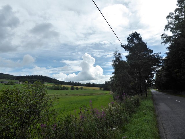
Balwearie Wood is a picturesque forest located in Kincardineshire, Scotland. Spread over an area of approximately 200 hectares, it is a popular destination for nature lovers and outdoor enthusiasts. The wood is situated near the village of Balwearie and is easily accessible from the nearby towns of Aberdeenshire and Angus.
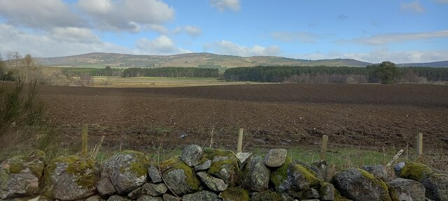
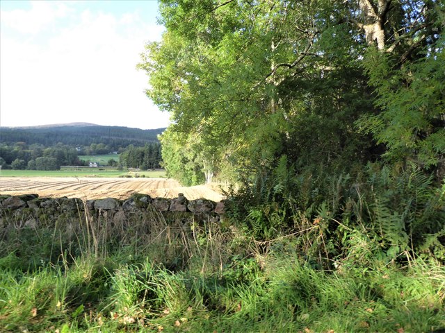
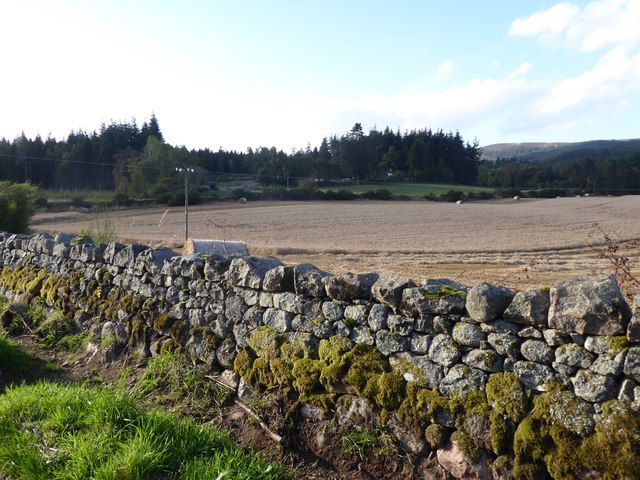
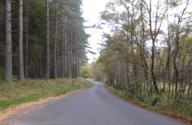
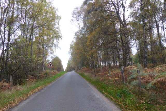
The woodland is primarily composed of native broadleaf trees such as oak, birch, and hazel, creating a diverse and rich ecosystem. The trees form a dense canopy, providing a habitat for a variety of wildlife including birds, mammals, and insects. It is not uncommon to spot species like red squirrels, roe deer, and woodpeckers while exploring the woodland.
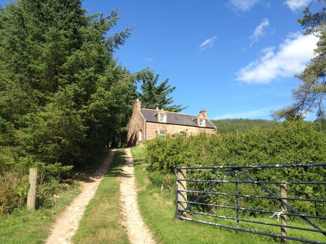
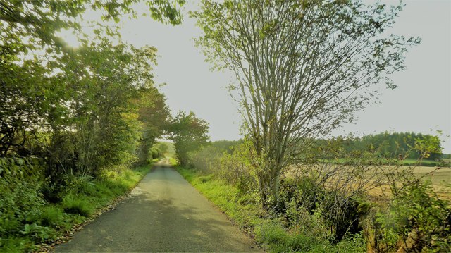
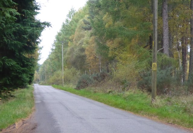
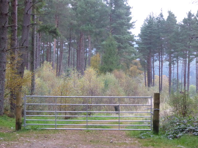
Balwearie Wood offers several walking trails, allowing visitors to explore its beauty at their own pace. The well-marked paths wind through the forest, providing stunning views of the surrounding landscape. One of the most popular trails is the Balwearie Wood Circular Walk, which takes approximately two hours to complete and offers a glimpse into the diverse flora and fauna of the wood.
In addition to its natural beauty, Balwearie Wood has a rich historical significance. It is believed to have been a part of the ancient Royal Forest of Stocket, which was used for hunting by Scottish monarchs. The wood has also been a source of timber for centuries, with evidence of old sawpits and charcoal burning platforms still visible.
Overall, Balwearie Wood is a captivating destination that offers a peaceful retreat in the midst of nature. Whether it is for a leisurely walk, birdwatching, or simply enjoying the tranquility, the wood provides a memorable experience for visitors of all ages.
If you have any feedback on the listing, please let us know in the comments section below.
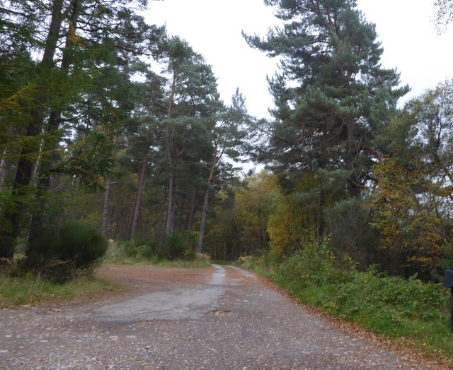
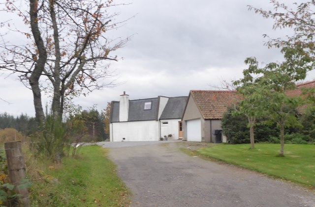
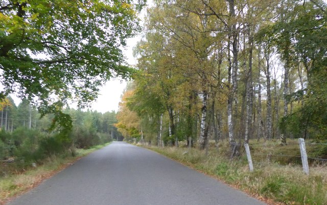
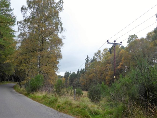
Balwearie Wood Images
Images are sourced within 2km of 57.076401/-2.5117366 or Grid Reference NO6998. Thanks to Geograph Open Source API. All images are credited.
Balwearie Wood is located at Grid Ref: NO6998 (Lat: 57.076401, Lng: -2.5117366)
Unitary Authority: Aberdeenshire
Police Authority: North East
What 3 Words
///alerting.lifted.stitch. Near Banchory, Aberdeenshire
Nearby Locations
Related Wikis

Raemoir House
Raemoir House is a Category B listed Georgian mansion house located in Banchory, Aberdeenshire, Scotland. Its origins date back to the Ha'Hoose (Hall House...

Cluny Crichton Castle
Cluny Crichton Castle (also known as Clounie Crighton Castle) is a ruined 3-story tower house on the southern slopes of the Hill of Fare in Aberdeenshire...

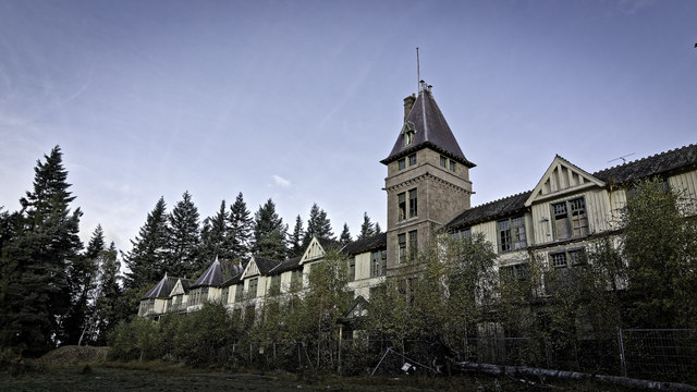
Glen o' Dee Hospital
Glen o' Dee Hospital is situated in the west end of Banchory, Aberdeenshire, Scotland. It is a small community hospital that provides services for the...

Brathens
Brathens is a village in Aberdeenshire, Scotland. == References ==
Nearby Amenities
Located within 500m of 57.076401,-2.5117366Have you been to Balwearie Wood?
Leave your review of Balwearie Wood below (or comments, questions and feedback).