Gellan Wood

Wood, Forest in Kincardineshire

Scotland

Gellan Wood

Cattle grid near Pitreadie Cattle grid on the track above Pitreadie.
Cattle grid near Pitreadie Credit: Scott Cormie

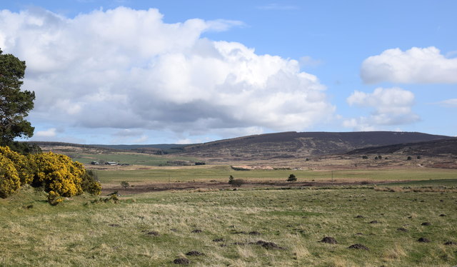
Gellan Wood is a beautiful forest located in Kincardineshire, Scotland. Spanning over a vast area, this woodland is known for its rich biodiversity and stunning natural scenery. The forest is situated near the small village of Gellan, surrounded by rolling hills and picturesque landscapes.

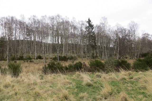
Gellan Wood is predominantly made up of native tree species, including oak, birch, and ash. These towering trees provide a dense canopy, creating a cool and tranquil environment within the woodland. The forest floor is covered in a lush carpet of mosses, ferns, and wildflowers, adding to its enchanting atmosphere.

The wood is home to a wide variety of wildlife, making it a popular destination for nature enthusiasts and birdwatchers. Visitors may spot red squirrels, foxes, and roe deer roaming freely through the forest. The birdlife is particularly diverse, with species such as woodpeckers, owls, and various songbirds making Gellan Wood their habitat.

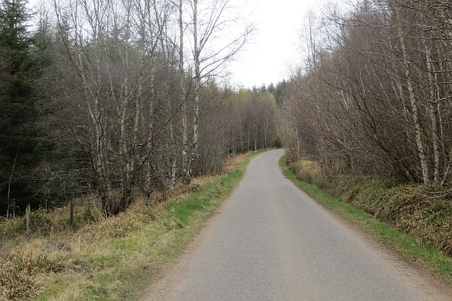
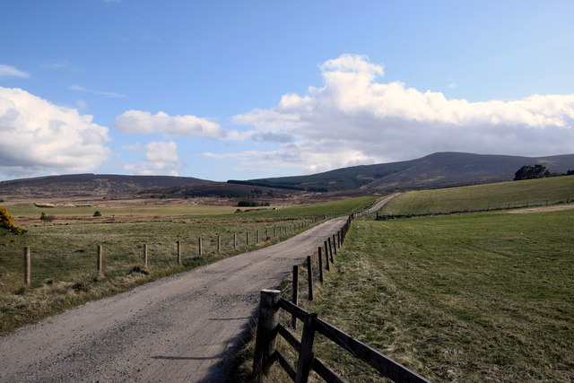
The forest offers several well-marked walking trails, allowing visitors to explore its beauty at their own pace. These paths wind through the woodland, leading to scenic viewpoints and hidden spots. Additionally, there are picnic areas and benches scattered throughout the wood, providing opportunities for visitors to relax and immerse themselves in the peaceful surroundings.

Gellan Wood is not only a haven for wildlife and nature lovers but also serves as an important natural resource for the local community. The forest plays a crucial role in maintaining the ecological balance of the area and acts as a carbon sink, helping to combat climate change.

Overall, Gellan Wood is a captivating destination that showcases the beauty and tranquility of Scotland's natural landscapes.

If you have any feedback on the listing, please let us know in the comments section below.
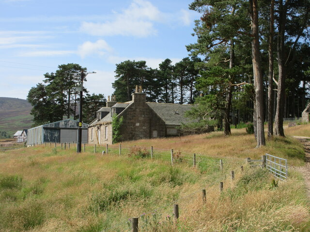
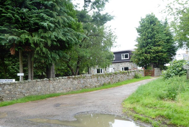
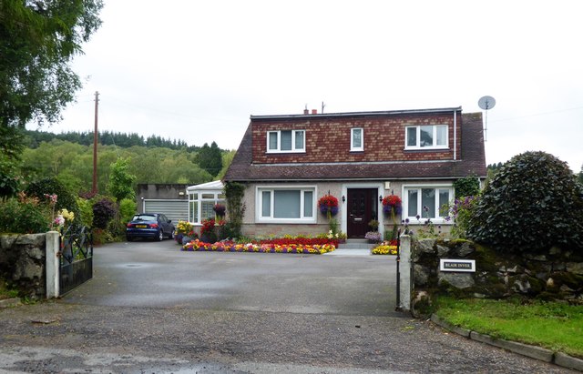
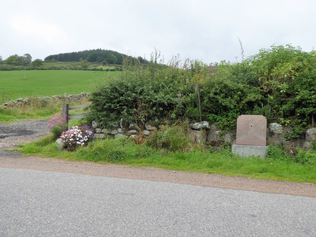
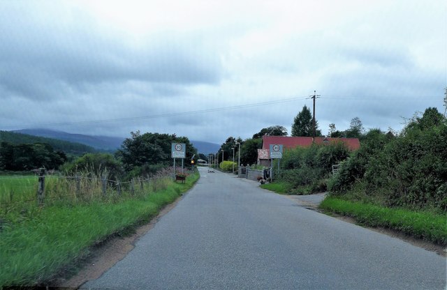
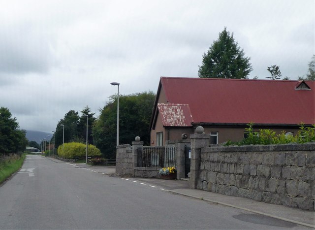
Gellan Wood Images

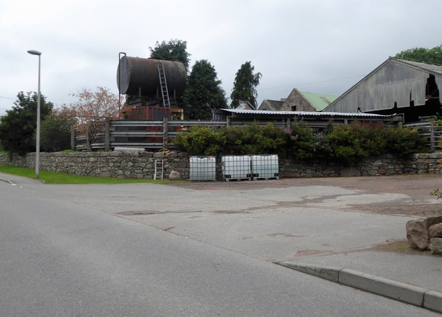
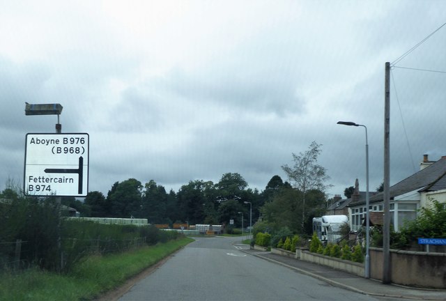
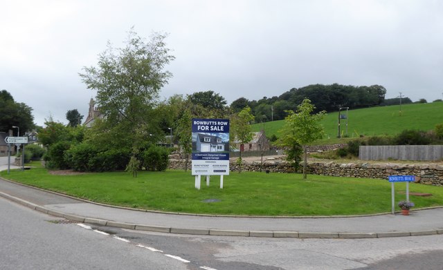
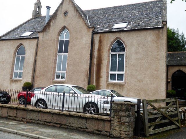
Images are sourced within 2km of 57.021058/-2.5109428 or Grid Reference NO6992. Thanks to Geograph Open Source API. All images are credited.

Cattle grid near Pitreadie Cattle grid on the track above Pitreadie.
Cattle grid near Pitreadie
Cattle grid on the track above Pitreadie.
Old farmhouse at Pitreadie The derelict farmhouse at Pitreadie viewed from the track to the north.
Old farmhouse at Pitreadie
The derelict farmhouse at Pitreadie viewed from the track to the north.
Twisty track to the car park... ...on the way back from Kerloch summit.
Twisty track to the car park...
...on the way back from Kerloch summit.
Forestry track with gravel pit
Birchwood, Blackness
Craig of Affrusk Wood A well forested bit of Highland Kincardineshire.
Craig of Affrusk Wood
A well forested bit of Highland Kincardineshire.
Beechgrove by the B974 The rain puddle heralds an end to a record long dry summer spell for NE Scotland.
Beechgrove by the B974
The rain puddle heralds an end to a record long dry summer spell for NE Scotland.
Blair Inver Cottage by B974.
Blair Inver
Cottage by B974.
Water trough, in memory of a local Boer War soldier d.1900 At a high point on the B974, between Banchory and Strachan. The wood on the skyline is on the southern flank of Scolty Hill.
Water trough, in memory of a local Boer War soldier d.1900
At a high point on the B974, between Banchory and Strachan. The wood on the skyline is on the southern flank of Scolty Hill.
Welcome to Strachan On the B974 from Banchory; cemetery and village hall on right.
Welcome to Strachan
On the B974 from Banchory; cemetery and village hall on right.
Gated entrance to Strachan cemetery Adjacent to the village hall.
Gated entrance to Strachan cemetery
Adjacent to the village hall.
Gateside Farm, Strachan Elevated slurry tank by B974.
Gateside Farm, Strachan
Elevated slurry tank by B974.
Road Junction sign in Strachan B974 Fettercairn/B976 Aboyne.
Road Junction sign in Strachan
B974 Fettercairn/B976 Aboyne.
Bowbutts Row For Sale notice, Strachan Building Plot on offer; off Bowbutts Brae at its junction with B974.
Bowbutts Row For Sale notice, Strachan
Building Plot on offer; off Bowbutts Brae at its junction with B974.
Former Free Church, Strachan Converted to a 2-storey residence in 2000
(see <span class="nowrap"><a title="http://www.scottishchurches.org.uk/sites/site/id/1494/image/8830/name" rel="nofollow ugc noopener" href="http://www.scottishchurches.org.uk/sites/site/id/1494/image/8830/name">Link</a><img style="margin-left:2px;" alt="External link" title="External link - shift click to open in new window" src="https://s1.geograph.org.uk/img/external.png" width="10" height="10"/></span>
/Former+Free+Church%2C+Strachan+Strachan+Grampian) 
Parked cars suggest some current inhabitants.
Former Free Church, Strachan
Converted to a 2-storey residence in 2000 (see LinkExternal link /Former+Free+Church%2C+Strachan+Strachan+Grampian) Parked cars suggest some current inhabitants.
Upland landscape The Burn of Curran runs through boggy ground and much farther back are the slopes of Shillofad hill (elev. 365 m).
Upland landscape
The Burn of Curran runs through boggy ground and much farther back are the slopes of Shillofad hill (elev. 365 m).
Track to Pitreadie farm... which is over the brow of the hill.
Track to Pitreadie farm...
which is over the brow of the hill.
Former free kirk, Strachan Built 1843, just after the Disruption and now in residential use.  There is a Canmore record (317317) but no details: <span class="nowrap"><a title="https://canmore.org.uk/site/317317/strachan-united-free-church" rel="nofollow ugc noopener" href="https://canmore.org.uk/site/317317/strachan-united-free-church">Link</a><img style="margin-left:2px;" alt="External link" title="External link - shift click to open in new window" src="https://s1.geograph.org.uk/img/external.png" width="10" height="10"/></span> .
Former free kirk, Strachan
Built 1843, just after the Disruption and now in residential use. There is a Canmore record (317317) but no details: LinkExternal link .
Show me another place!

Gellan Wood is located at Grid Ref: NO6992 (Lat: 57.021058, Lng: -2.5109428)

Unitary Authority: Aberdeenshire

Police Authority: North East

What 3 Words

///costumed.deployed.workers. Near Banchory, Aberdeenshire

Nearby Locations

Gellan Wood

Related Wikis

Strachan, Aberdeenshire

Strachan is a village in Aberdeenshire, Scotland that lies along the Water of Feugh, a tributary of the River Dee, Aberdeenshire, a few miles southwest...

Scolty Hill

Scolty Hill is a small hill south of the Deeside town, Banchory. Its best known feature is the 20m tall tower monument, built in 1840 as a memorial to...

Braehead, Banchory

Braehead, Banchory is a proposed major housing development to the south of Banchory, Aberdeenshire, Scotland. The site is home to Braehead farm, formerly...

Water of Feugh

The Water of Feugh (pronounced:few-ikh) is a stream in Aberdeenshire that is the largest tributary to the River Dee. This stream rises in the Grampian...

Nearby Amenities

Located within 500m of 57.021058,-2.5109428
Power: pole
Lat/Long: 57.0202299/-2.5138752
Power: pole
Lat/Long: 57.0205591/-2.5128397
Power: pole
Lat/Long: 57.0208594/-2.5119194
Power: pole
Lat/Long: 57.0212205/-2.510848
Power: pole
Lat/Long: 57.0215486/-2.5098956
Power: pole
Lat/Long: 57.0218973/-2.5088185
Power: pole
Lat/Long: 57.0222964/-2.5076072
Power: pole
Lat/Long: 57.0225864/-2.5067455
Power: pole
Lat/Long: 57.0229155/-2.5057478
Power: pole
Lat/Long: 57.0232436/-2.5047765
The data included in this document is from www.openstreetmap.org. The data is made available under ODbL.

Have you been to Gellan Wood?

Leave your review of Gellan Wood below (or comments, questions and feedback).