Long Causeway Plantation
Wood, Forest in Roxburghshire
Scotland
Long Causeway Plantation

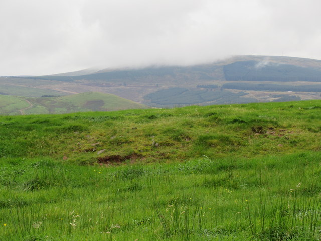
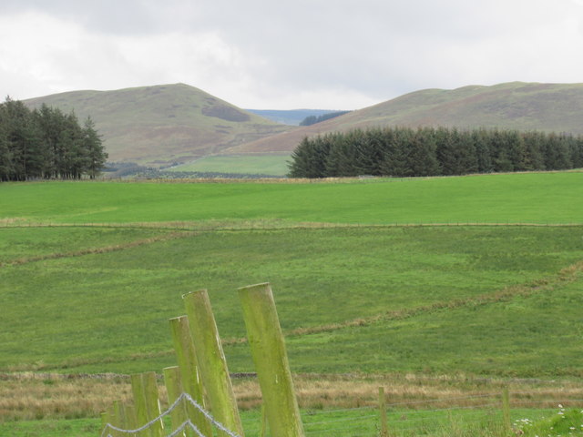
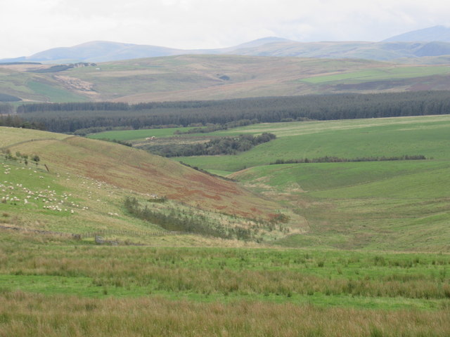
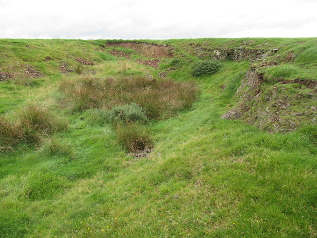
Long Causeway Plantation is a picturesque woodland located in Roxburghshire, a historic county in the Scottish Borders region of Scotland. Covering an expansive area, it is a captivating example of a well-preserved forest, offering visitors a serene and enchanting experience.
The plantation is primarily composed of a diverse range of trees, including oak, birch, and beech, creating a rich and varied ecosystem. The lush greenery and dense foliage provide a haven for numerous species of birds, insects, and small mammals, making it an ideal location for nature enthusiasts and wildlife enthusiasts alike.
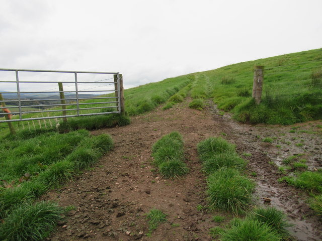
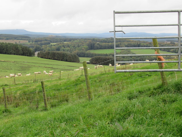
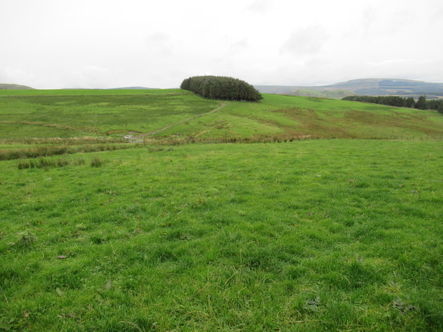
Long Causeway Plantation boasts well-maintained trails that wind their way through the forest, allowing visitors to explore its natural beauty at their own pace. These paths offer stunning views of the surrounding countryside, with glimpses of rolling hills and distant valleys.
For those interested in the history of the area, the plantation also holds archaeological significance. Traces of ancient settlements, including stone circles and burial mounds, can be found within its boundaries, adding an extra layer of intrigue to this remarkable woodland.
Visitors to Long Causeway Plantation can engage in a variety of recreational activities, such as hiking, birdwatching, and photography. Additionally, the plantation provides a peaceful setting for picnics and a tranquil atmosphere for simply embracing the tranquility of nature.
Overall, Long Causeway Plantation in Roxburghshire is a captivating woodland that offers a delightful escape into the natural beauty of the Scottish Borders. With its diverse flora and fauna, stunning views, and historical significance, it is a destination that appeals to nature lovers and history enthusiasts alike.
If you have any feedback on the listing, please let us know in the comments section below.
Long Causeway Plantation Images
Images are sourced within 2km of 55.401725/-2.4939446 or Grid Reference NT6812. Thanks to Geograph Open Source API. All images are credited.


Long Causeway Plantation is located at Grid Ref: NT6812 (Lat: 55.401725, Lng: -2.4939446)
Unitary Authority: The Scottish Borders
Police Authority: The Lothians and Scottish Borders
What 3 Words
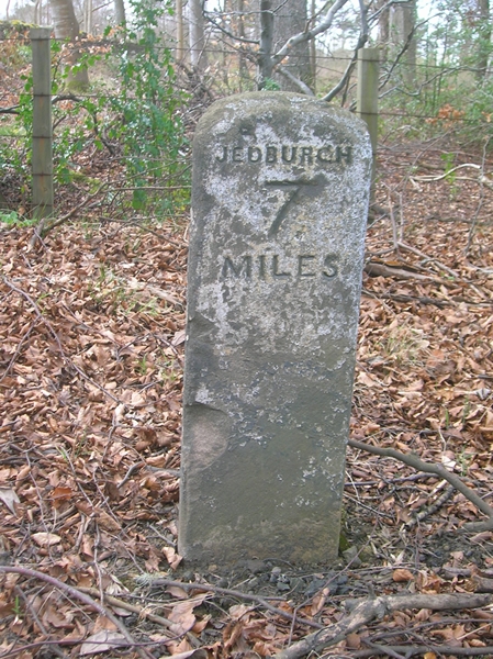
///purified.speedily.crackles. Near Jedburgh, Scottish Borders
Related Wikis

Edgerston
Edgerston is a village and an estate about 4 miles (6.4 km) north of the Anglo-Scottish border, and 8 miles (13 km) south of Jedburgh in the Scottish Borders...

Camptown, Scottish Borders
Camptown is a small settlement on the A68, in the Scottish Borders area of Scotland, 5m (8 km) south of Jedburgh, and the same distance south to Carter...

Scottish Borders
The Scottish Borders (Scots: the Mairches, lit. 'the Marches'; Scottish Gaelic: Crìochan na h-Alba) is one of 32 council areas of Scotland. It is bordered...

Bairnkine
Bairnkine is a hamlet on the Jed Water in the Scottish Borders area of Scotland, on the A68, south of Jedburgh. Other places nearby include Abbotrule,...

Raid of the Redeswire
The Raid of the Redeswire, also known as the Redeswire Fray, was a border skirmish between England and Scotland on 7 July 1575 which took place at Carter...
Carter Bar
Carter Bar is a pass in the Cheviot Hills, on the Anglo-Scottish border. It lies east of Carter Fell at the head of Redesdale, and is crossed by the A68...

Southdean
Southdean is a hamlet in the Scottish Borders area of Scotland, on the A6088, by the Jed Water and in the Wauchope Forest area. Other settlements nearby...

Oxnam
Oxnam (Scots: Owsenam) is a village near Jedburgh, in Roxburghshire in the Scottish Borders area of Scotland. It is a primarily residential village. The...
Nearby Amenities
Located within 500m of 55.401725,-2.4939446Have you been to Long Causeway Plantation?
Leave your review of Long Causeway Plantation below (or comments, questions and feedback).