Camps Strip
Wood, Forest in Roxburghshire
Scotland
Camps Strip

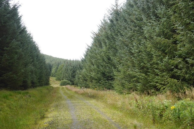
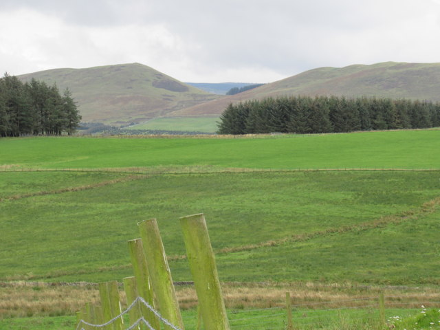
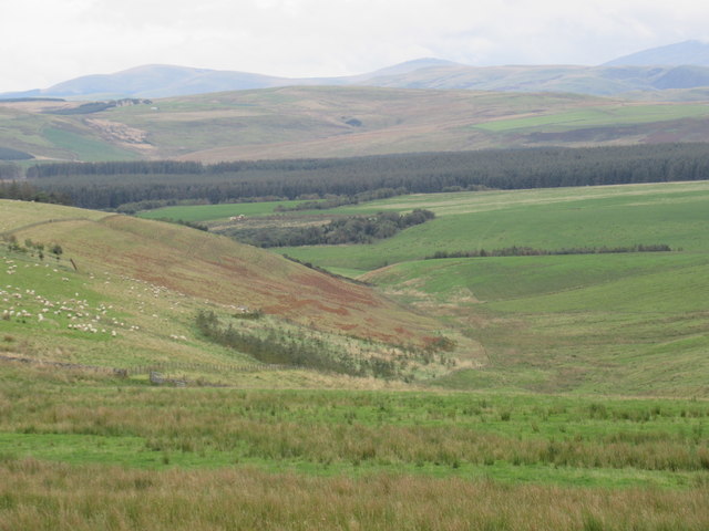
Camps Strip is a stunning woodland area located in Roxburghshire, Scotland. Spread across a vast expanse, this forest is known for its enchanting beauty and diverse flora and fauna. The woodland consists mainly of native tree species such as Scots pine, oak, and birch, creating a rich and biodiverse ecosystem.
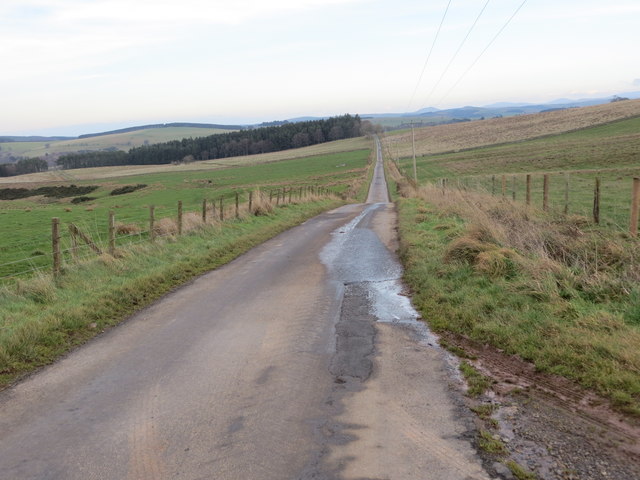
The forest is a popular destination for nature enthusiasts and outdoor adventurers. Numerous hiking trails wind through the woodland, offering breathtaking views and opportunities to spot wildlife. Birdwatchers will delight in the variety of species that call Camps Strip home, including buzzards, owls, and woodpeckers.
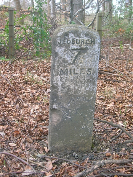
Camps Strip is also renowned for its historical significance. The forest has remnants of ancient settlements and is dotted with archaeological sites. It is believed that the area was inhabited as far back as the Iron Age, and evidence of human activity from various periods can be found throughout the woodland.
Visitors to Camps Strip can take advantage of the well-maintained facilities and amenities available. Picnic areas are scattered throughout the forest, providing a perfect spot to relax and enjoy the tranquil surroundings. The area is also equipped with parking spaces and well-marked trails, ensuring a hassle-free experience for visitors.
Overall, Camps Strip in Roxburghshire is a true gem for nature lovers and history enthusiasts alike. With its lush woodland, diverse wildlife, and fascinating archaeological sites, it offers a unique and immersive outdoor experience. Whether you're seeking a peaceful walk or an adventure-filled exploration, Camps Strip is sure to captivate all who visit.
If you have any feedback on the listing, please let us know in the comments section below.
Camps Strip Images
Images are sourced within 2km of 55.401325/-2.5060509 or Grid Reference NT6812. Thanks to Geograph Open Source API. All images are credited.


Camps Strip is located at Grid Ref: NT6812 (Lat: 55.401325, Lng: -2.5060509)
Unitary Authority: The Scottish Borders
Police Authority: The Lothians and Scottish Borders
What 3 Words
///easels.startles.aced. Near Jedburgh, Scottish Borders
Related Wikis

Edgerston
Edgerston is a village and an estate about 4 miles (6.4 km) north of the Anglo-Scottish border, and 8 miles (13 km) south of Jedburgh in the Scottish Borders...

Camptown, Scottish Borders
Camptown is a small settlement on the A68, in the Scottish Borders area of Scotland, 5m (8 km) south of Jedburgh, and the same distance south to Carter...

Bairnkine
Bairnkine is a hamlet on the Jed Water in the Scottish Borders area of Scotland, on the A68, south of Jedburgh. Other places nearby include Abbotrule,...

Scottish Borders
The Scottish Borders (Scots: the Mairches, lit. 'the Marches'; Scottish Gaelic: Crìochan na h-Alba) is one of 32 council areas of Scotland. It is bordered...

Raid of the Redeswire
The Raid of the Redeswire, also known as the Redeswire Fray, was a border skirmish between England and Scotland on 7 July 1575 which took place at Carter...
Carter Bar
Carter Bar is a pass in the Cheviot Hills, on the Anglo-Scottish border. It lies east of Carter Fell at the head of Redesdale, and is crossed by the A68...

Southdean
Southdean is a hamlet in the Scottish Borders area of Scotland, on the A6088, by the Jed Water and in the Wauchope Forest area. Other settlements nearby...

Ferniehirst Castle
Ferniehirst Castle (sometimes spelled Ferniehurst) is an L-shaped construction on the east bank of the Jed Water, about a mile and a half south of Jedburgh...
Nearby Amenities
Located within 500m of 55.401325,-2.5060509Have you been to Camps Strip?
Leave your review of Camps Strip below (or comments, questions and feedback).