Collonach Wood
Wood, Forest in Kincardineshire
Scotland
Collonach Wood
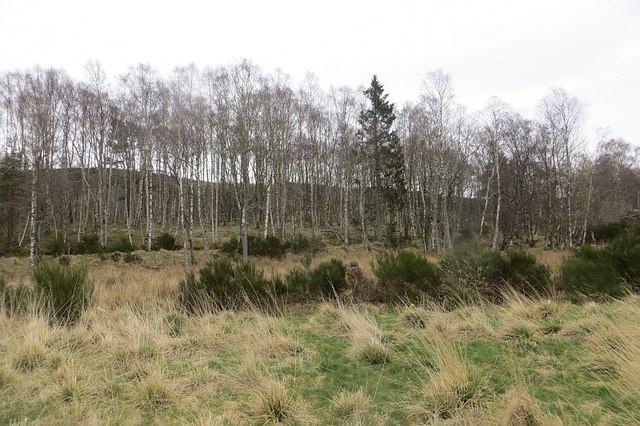
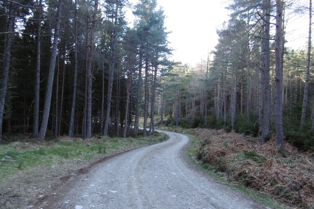
Collonach Wood is a captivating woodland located in the county of Kincardineshire, Scotland. Spanning over an area of approximately 100 hectares, it is nestled in the picturesque surroundings of the Howe of the Mearns, offering visitors a tranquil and immersive experience in nature.
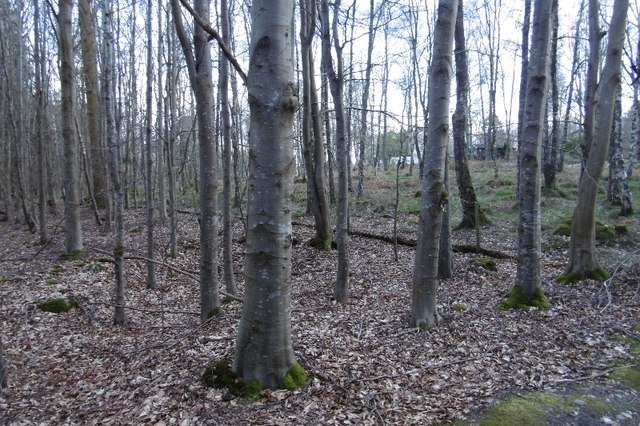
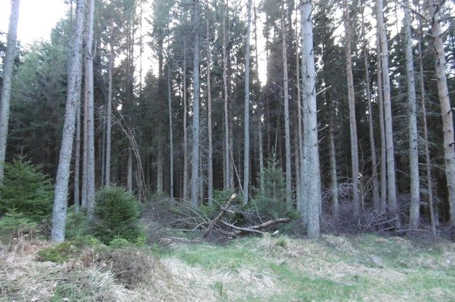
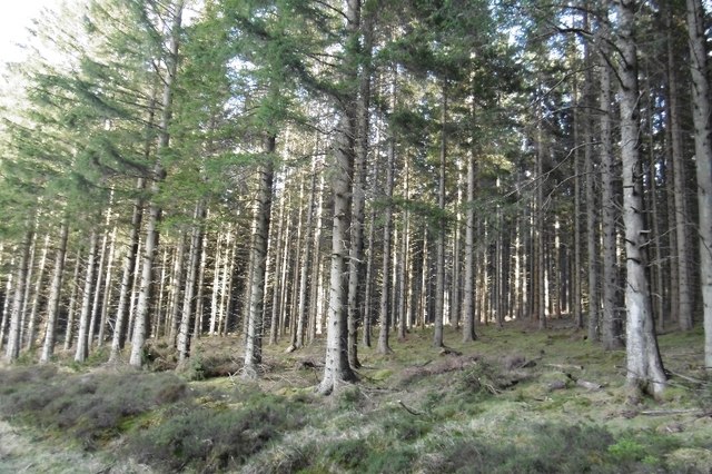
The wood is predominantly composed of diverse species of trees, including oak, birch, and pine, which create a rich tapestry of colors throughout the seasons. The forest floor is adorned with a myriad of wildflowers, such as bluebells and primroses, adding to the enchanting ambiance of the woodland.
Collonach Wood is a haven for wildlife enthusiasts, as it provides a habitat for an array of fauna. Visitors may spot red squirrels gracefully leaping from tree to tree or catch a glimpse of roe deer gracefully grazing in the glades. A variety of bird species can also be observed, with common sightings including woodpeckers and buzzards soaring overhead.
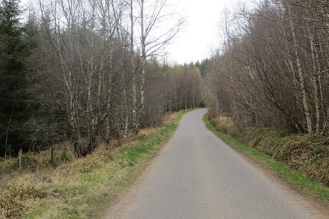
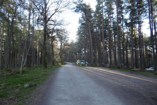
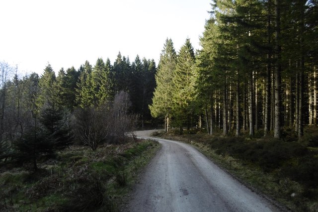
The wood boasts a network of well-marked walking trails, allowing visitors to explore its natural wonders at their own pace. These trails cater to different abilities, ranging from shorter leisurely strolls to longer, more challenging hikes. Along the way, walkers can appreciate panoramic views of the surrounding countryside and may encounter ancient ruins or historic sites that add an extra layer of intrigue to their journey.
Collonach Wood is a cherished destination for nature lovers and a place where one can escape the hustle and bustle of everyday life. Its combination of breathtaking scenery, diverse wildlife, and peaceful ambiance make it a true gem in the heart of Kincardineshire.
If you have any feedback on the listing, please let us know in the comments section below.
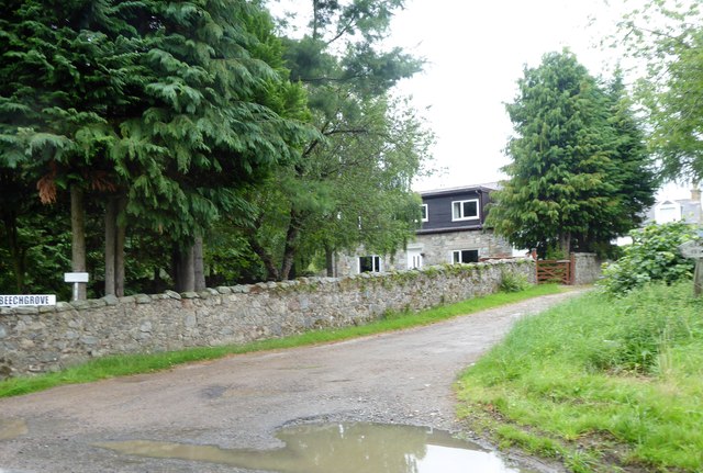
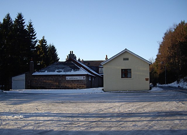
Collonach Wood Images
Images are sourced within 2km of 57.032997/-2.5152915 or Grid Reference NO6893. Thanks to Geograph Open Source API. All images are credited.


Collonach Wood is located at Grid Ref: NO6893 (Lat: 57.032997, Lng: -2.5152915)
Unitary Authority: Aberdeenshire
Police Authority: North East
What 3 Words
///racked.collects.named. Near Banchory, Aberdeenshire
Nearby Locations
Related Wikis

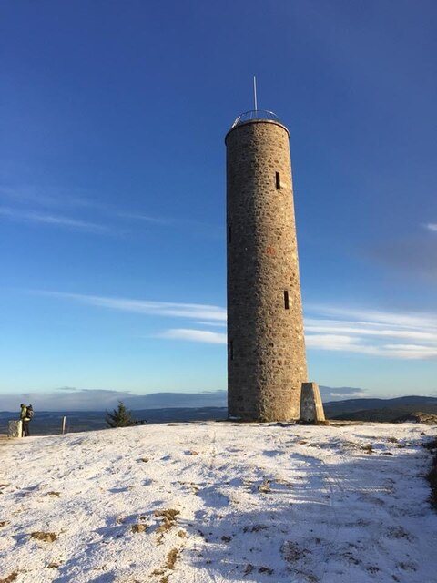
Scolty Hill
Scolty Hill is a small hill south of the Deeside town, Banchory. Its best known feature is the 20m tall tower monument, built in 1840 as a memorial to...

Braehead, Banchory
Braehead, Banchory is a proposed major housing development to the south of Banchory, Aberdeenshire, Scotland. The site is home to Braehead farm, formerly...

Strachan, Aberdeenshire
Strachan is a village in Aberdeenshire, Scotland that lies along the Water of Feugh, a tributary of the River Dee, Aberdeenshire, a few miles southwest...
Kinneskie Road drill hall, Banchory
The Kinneskie Road drill hall is a former military installation near Banchory, Scotland. == History == The building was designed as the headquarters of...

Dee Street Halt railway station
Dee Street Halt railway station was a short-lived stopping place on the Aberdeen and Ballater railway branch. It was situated at 17 miles 30 chains (28...

Banchory Town Hall
Banchory Town Hall is a municipal structure in the High Street, Banchory, Aberdeenshire, Scotland. The structure is primarily used as a community events...

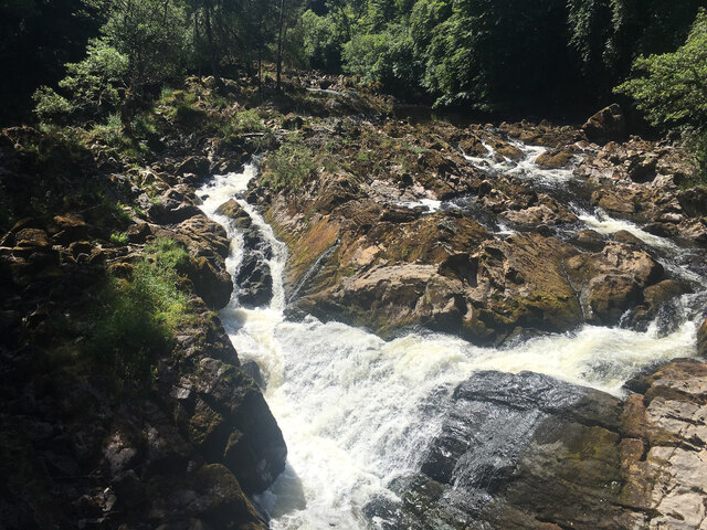
Water of Feugh
The Water of Feugh (pronounced:few-ikh) is a stream in Aberdeenshire that is the largest tributary to the River Dee. This stream rises in the Grampian...

Banchory railway station
Banchory railway station was situated on the Aberdeen and Ballater branch (the Deeside Line). It was situated at 16 miles 72 chains (27.2 km) from Aberdeen...
Nearby Amenities
Located within 500m of 57.032997,-2.5152915Have you been to Collonach Wood?
Leave your review of Collonach Wood below (or comments, questions and feedback).