Bridle Strip

Wood, Forest in Roxburghshire

Scotland

Bridle Strip

Small Reservoir Compound with Triangulation Pillar at Dolphinston Looking southward.
Small Reservoir Compound with Triangulation Pillar at Dolphinston Credit: Peter Wood

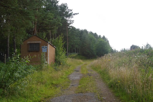
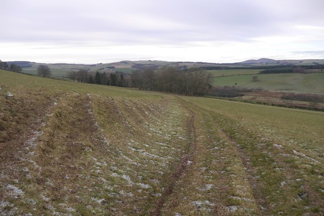
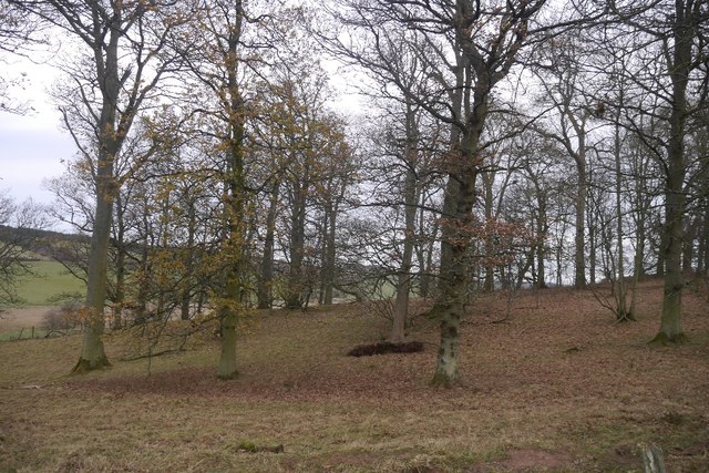
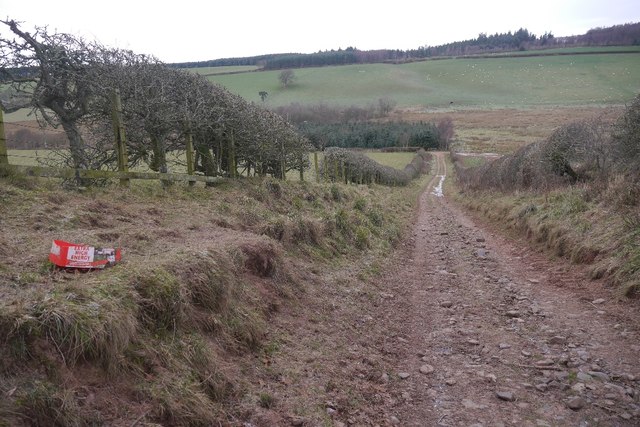
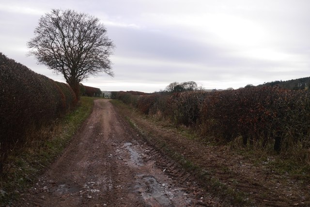
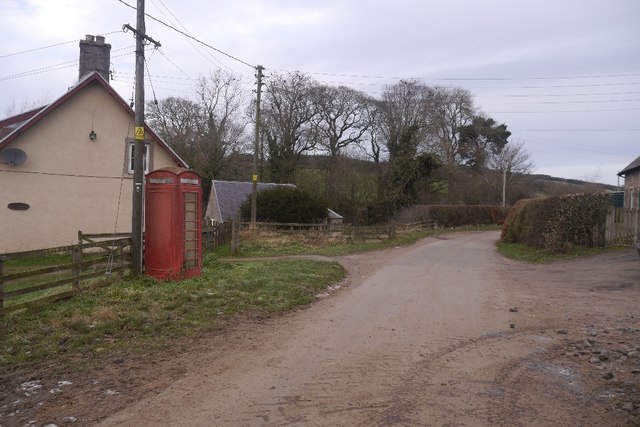
Bridle Strip, located in Roxburghshire, is a serene and picturesque wood situated in the heart of the Scottish Borders region. This enchanting forest covers a vast area and is a popular destination for nature enthusiasts and outdoor adventurers alike.

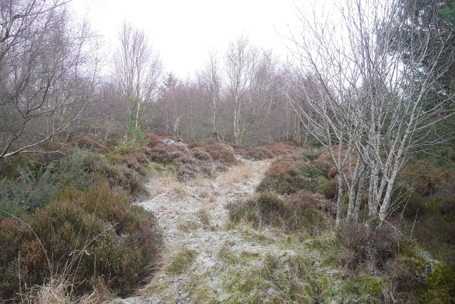
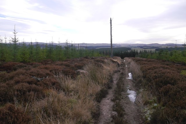
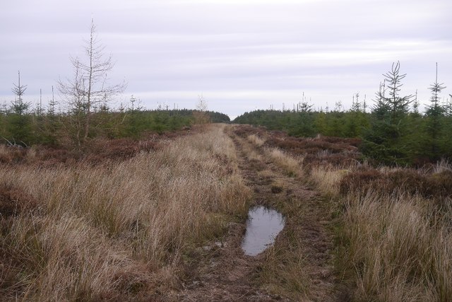
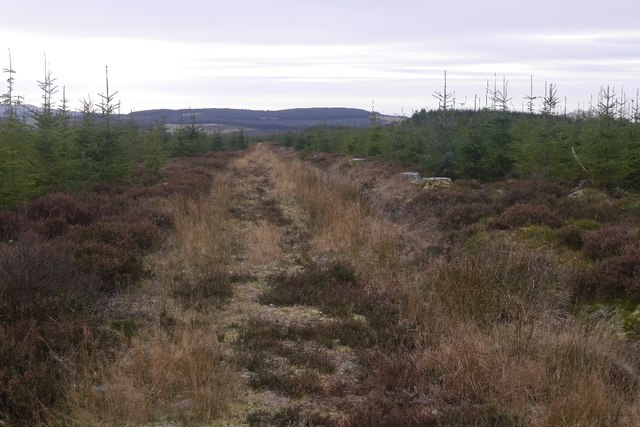
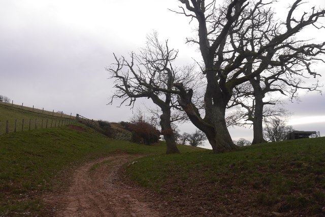
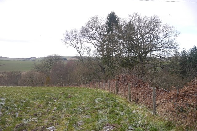
The wood is characterized by its dense foliage, consisting of a variety of native tree species such as oak, birch, and pine. The towering trees create a canopy that provides shade and shelter for an abundance of flora and fauna that call this forest home. Walking through Bridle Strip, visitors can admire the vibrant colors of wildflowers, ferns, and mosses that carpet the forest floor.

Tranquility is one of the defining features of this woodland, making it an ideal spot for a leisurely stroll or a peaceful picnic. The sound of birdsong fills the air, and if lucky, visitors may catch a glimpse of some of the woodland creatures that inhabit the area, including red squirrels, roe deer, and various bird species. The wood is also home to a diverse array of insects, adding to the ecosystem's richness.

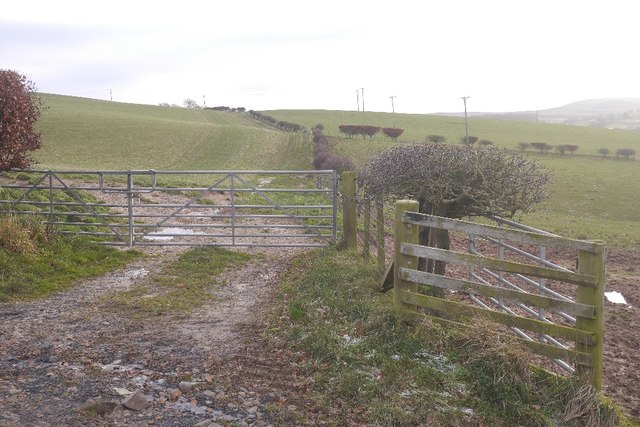
In addition to its natural beauty, Bridle Strip offers a network of well-maintained trails, making it a perfect destination for hikers, cyclists, and horseback riders. These paths wind their way through the forest, providing stunning views of the surrounding landscape.

Bridle Strip, Roxburghshire, truly offers an immersive experience in nature, allowing visitors to disconnect from the hustle and bustle of everyday life and reconnect with the tranquility of the woodlands.

If you have any feedback on the listing, please let us know in the comments section below.
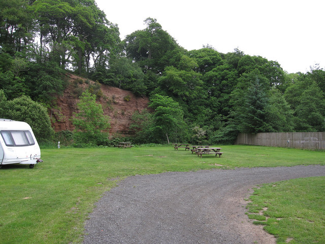
Bridle Strip Images

Images are sourced within 2km of 55.427653/-2.514462 or Grid Reference NT6714. Thanks to Geograph Open Source API. All images are credited.

Small Reservoir Compound with Triangulation Pillar at Dolphinston Looking southward.
Small Reservoir Compound with Triangulation Pillar at Dolphinston
Looking southward.
Track beside the Shaw Burn A track passes a somewhat overgrown looking pumping station building.
Track beside the Shaw Burn
A track passes a somewhat overgrown looking pumping station building.
River cliff by Jed Water From Jed Water Caravan Park.
River cliff by Jed Water
From Jed Water Caravan Park.
Broad open ridge with prime grazing above Mervinslaw, Jedburgh
Entering Camptown
Entering Camptown
Tree house near to Old Jeddart The tree house is close to the buildings at Old Jeddart which are seen in the distance.
Tree house near to Old Jeddart
The tree house is close to the buildings at Old Jeddart which are seen in the distance.
Young trees, Birkenside Much of the plantation has been replanted in recent years. The path network shown by the Ordnance Survey has gone, many of the tracks shown no longer exist.
Young trees, Birkenside
Much of the plantation has been replanted in recent years. The path network shown by the Ordnance Survey has gone, many of the tracks shown no longer exist.
Path, Birkenside A good, well used path through young trees.  The mapped path network no longer exists.
Path, Birkenside
A good, well used path through young trees. The mapped path network no longer exists.
Path, Birkenside Running along the ridge line.  The path network shown by the Ordnance Survey is from before the felling of most of the woodland. The new plantings have a different set of tracks.
Path, Birkenside
Running along the ridge line. The path network shown by the Ordnance Survey is from before the felling of most of the woodland. The new plantings have a different set of tracks.
Path, Birkenside Amongst young trees.  Many of the mapped paths have gone since replanting.
Path, Birkenside
Amongst young trees. Many of the mapped paths have gone since replanting.
Oxnam to Mossburnford road A descent through a field links up two stone/mud surfaced roads.  All very pleasant in frosty conditions.
Oxnam to Mossburnford road
A descent through a field links up two stone/mud surfaced roads. All very pleasant in frosty conditions.
Peel Clumps A circular oak wood surrounded by an earth wall.
Peel Clumps
A circular oak wood surrounded by an earth wall.
Oxnam to Mossburnford road A steep section, used as a field access route.
Oxnam to Mossburnford road
A steep section, used as a field access route.
Oxnam to Mossburnford road Approaching Mossburnford on a farm road. Looks muddy, but today it was frozen solid.
Oxnam to Mossburnford road
Approaching Mossburnford on a farm road. Looks muddy, but today it was frozen solid.
Telephone box, Mossburnford
Farm track, Mossburnford It climbs up to a couple of fields on the edge of the Birkenside woods.
Farm track, Mossburnford
It climbs up to a couple of fields on the edge of the Birkenside woods.
Mossburnford Banks Partly wooded steep slope ahead, above the Jed Water.
Mossburnford Banks
Partly wooded steep slope ahead, above the Jed Water.
Fields above the Jed Water
Show me another place!

Bridle Strip is located at Grid Ref: NT6714 (Lat: 55.427653, Lng: -2.514462)

Unitary Authority: The Scottish Borders

Police Authority: The Lothians and Scottish Borders

What 3 Words

///tedious.perfumes.limped. Near Jedburgh, Scottish Borders

Related Wikis

Nearby Amenities

Located within 500m of 55.427653,-2.514462
Power: pole
Lat/Long: 55.4258972/-2.520655
Power: pole
Lat/Long: 55.4264956/-2.5197691
Power: pole
Lat/Long: 55.4270929/-2.5189232
Power: pole
Lat/Long: 55.427179/-2.517646
Power: pole
Lat/Long: 55.4272175/-2.5167159
Power: pole
Lat/Long: 55.427336/-2.5148854
Power: pole
Lat/Long: 55.4274022/-2.5130252
Power: pole
Lat/Long: 55.4274899/-2.5111649
Power: pole
Lat/Long: 55.4275778/-2.5092826
Power: pole
Lat/Long: 55.4276677/-2.5197172
Power: pole
Lat/Long: 55.4281986/-2.5204466
Power: pole
Lat/Long: 55.4289937/-2.5215348
Power: pole
Lat/Long: 55.4276508/-2.5074725
The data included in this document is from www.openstreetmap.org. The data is made available under ODbL.

Have you been to Bridle Strip?

Leave your review of Bridle Strip below (or comments, questions and feedback).