Cock Cleuch
Valley in Roxburghshire
Scotland
Cock Cleuch

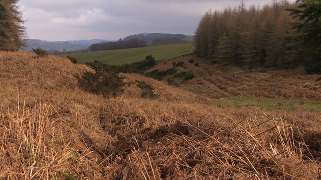
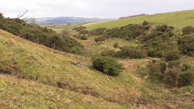
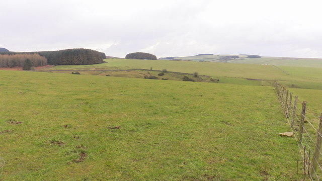
Cock Cleuch is a picturesque valley located in the region of Roxburghshire, Scotland. Nestled in the rolling hills of the Scottish Borders, this secluded and enchanting valley is renowned for its natural beauty and tranquil atmosphere. The name "Cock Cleuch" is derived from the Scots word "cleuch," meaning a narrow and steep-sided ravine or valley.
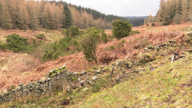
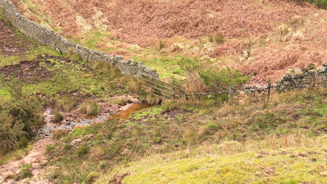
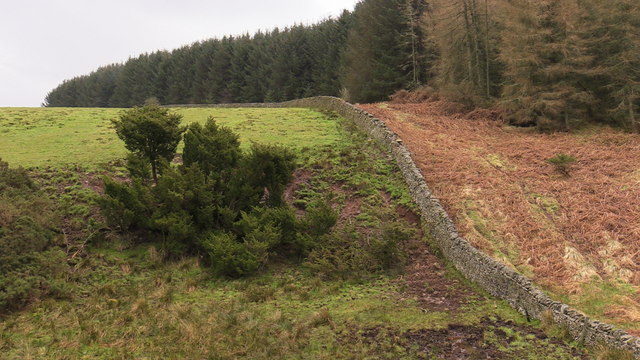
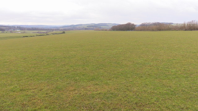
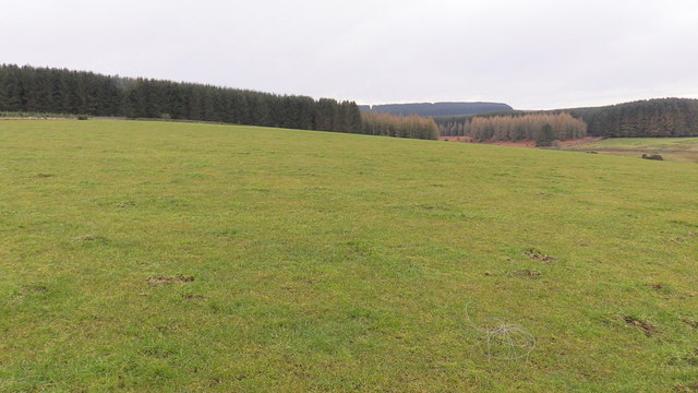
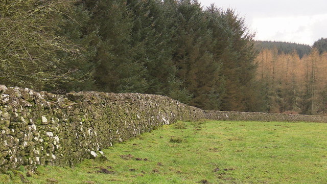
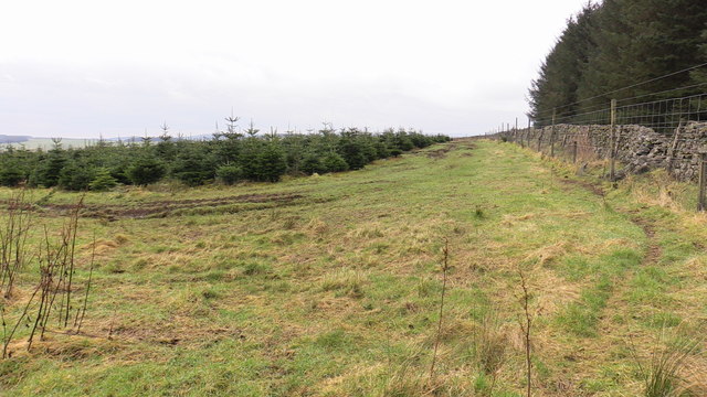
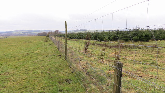
The valley is characterized by its lush green landscapes, dotted with meandering streams and surrounded by towering hills. The terrain is a mix of gentle slopes and rugged terrain, providing a diverse range of habitats for wildlife and flora. The area is particularly known for its abundant birdlife, with species such as red grouse, skylarks, and curlews being commonly spotted.
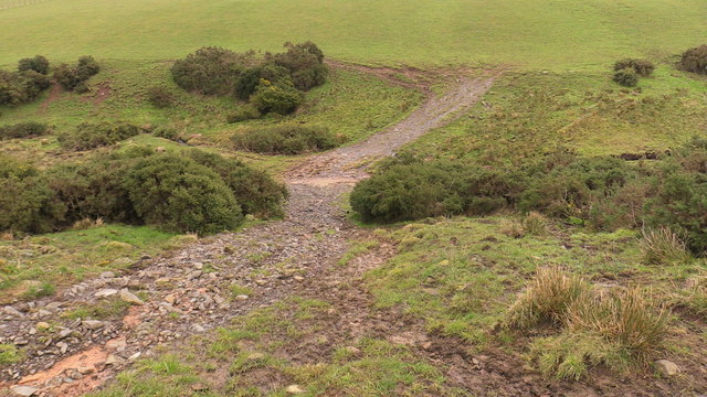
Cock Cleuch offers visitors a chance to escape the hustle and bustle of urban life and immerse themselves in the tranquility of nature. The valley is a popular destination for hikers and nature enthusiasts, thanks to its well-marked trails that wind through the valley and provide stunning views of the surrounding countryside.
In addition to its natural beauty, Cock Cleuch also holds historical significance. The valley is home to several ancient archaeological sites, including burial cairns and standing stones, which provide a glimpse into Scotland's rich and ancient past.
Overall, Cock Cleuch is a hidden gem in Roxburghshire, offering visitors a unique and idyllic experience of Scotland's natural beauty. Whether it's hiking, birdwatching, or simply enjoying the peacefulness of the valley, Cock Cleuch is a destination that will leave a lasting impression on all who visit.
If you have any feedback on the listing, please let us know in the comments section below.
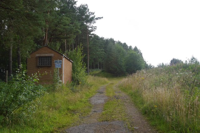
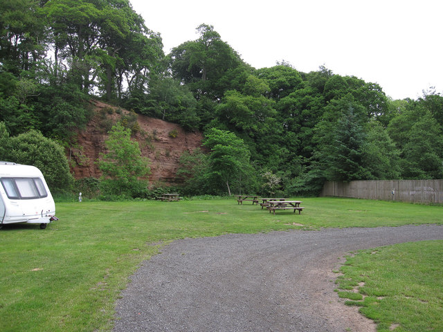
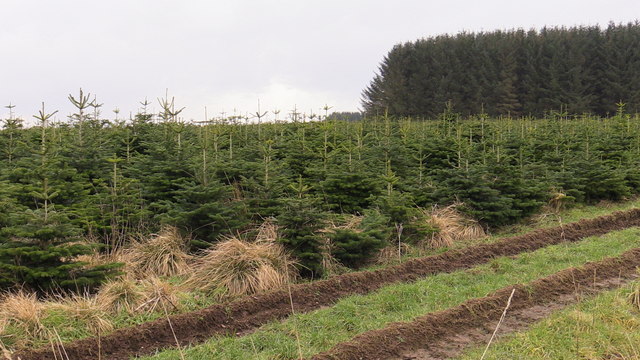
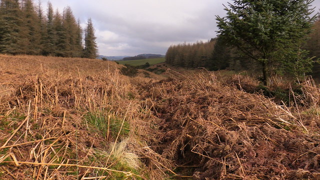
Cock Cleuch Images
Images are sourced within 2km of 55.421322/-2.5200039 or Grid Reference NT6714. Thanks to Geograph Open Source API. All images are credited.
Cock Cleuch is located at Grid Ref: NT6714 (Lat: 55.421322, Lng: -2.5200039)
Unitary Authority: The Scottish Borders
Police Authority: The Lothians and Scottish Borders
What 3 Words
///interval.drawn.handwriting. Near Jedburgh, Scottish Borders
Nearby Locations
Related Wikis

Camptown, Scottish Borders
Camptown is a small settlement on the A68, in the Scottish Borders area of Scotland, 5m (8 km) south of Jedburgh, and the same distance south to Carter...

Bairnkine
Bairnkine is a hamlet on the Jed Water in the Scottish Borders area of Scotland, on the A68, south of Jedburgh. Other places nearby include Abbotrule,...

Edgerston
Edgerston is a village and an estate about 4 miles (6.4 km) north of the Anglo-Scottish border, and 8 miles (13 km) south of Jedburgh in the Scottish Borders...

Ferniehirst Castle
Ferniehirst Castle (sometimes spelled Ferniehurst) is an L-shaped construction on the east bank of the Jed Water, about a mile and a half south of Jedburgh...

Oxnam
Oxnam (Scots: Owsenam) is a village near Jedburgh, in Roxburghshire in the Scottish Borders area of Scotland. It is a primarily residential village. The...

Jedforest
Jedforest is an historic forest in the Scottish Borders, that has been heavily wooded in the past. It is close to Jed Water and the town of Jedburgh, from...

Capon Oak Tree
The Capon Oak Tree is one of the last surviving trees of the ancient Jedforest, close to Jed Water, a small river which has cut a course below soft sandstone...

Abbotrule
Abbotrule is a hamlet south of the B6357 road, in the Scottish Borders area of Scotland, on Rule Burn, east of the Rule Water. Places nearby include Bedrule...
Nearby Amenities
Located within 500m of 55.421322,-2.5200039Have you been to Cock Cleuch?
Leave your review of Cock Cleuch below (or comments, questions and feedback).