Brownside Wood

Wood, Forest in Banffshire

Scotland

Brownside Wood

Oil-seed rape near Brownside Looking east to a field of oil-seed rape near Brownside.
Oil-seed rape near Brownside Credit: Scott Cormie

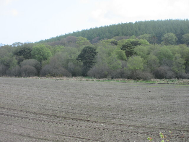
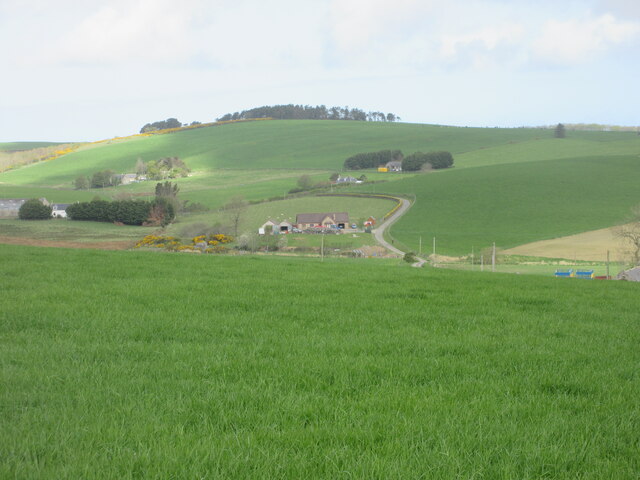
Brownside Wood is a picturesque forest located in the county of Banffshire, Scotland. Spread across an area of approximately 100 acres, it is nestled in the heart of the countryside, offering visitors a tranquil and natural environment.

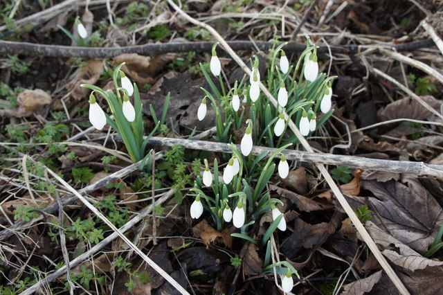
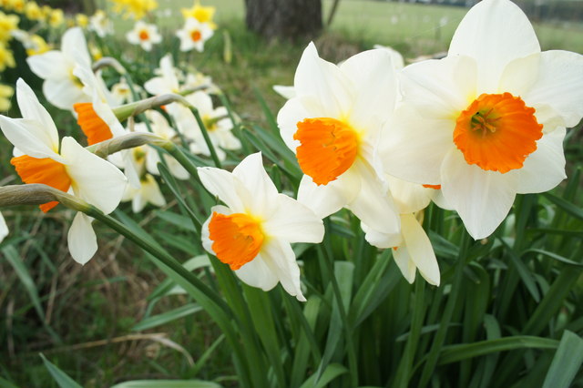
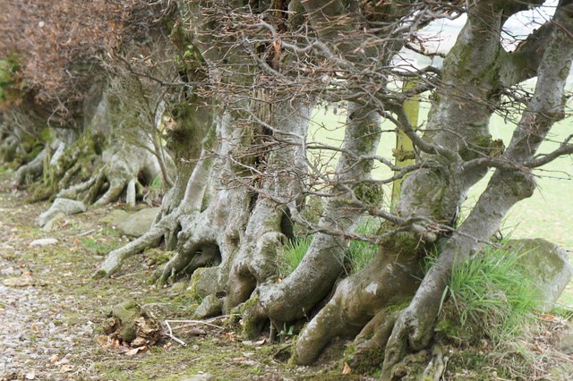
The wood is predominantly made up of native species such as oak, birch, and pine trees, creating a diverse and vibrant ecosystem. The tall, majestic trees provide ample shade, making it an ideal spot for a leisurely stroll or a peaceful picnic. The forest floor is covered with a lush carpet of moss, ferns, and wildflowers, adding to the enchanting atmosphere.

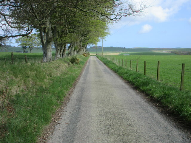
A network of well-maintained footpaths and trails crisscross the wood, allowing visitors to explore and appreciate its beauty. These paths cater to various fitness levels, catering to both casual walkers and more adventurous hikers. Along the way, one might come across small streams and ponds that add to the overall charm of the wood.

Brownside Wood is also home to a rich variety of wildlife. Birdwatchers will find delight in spotting species such as woodpeckers, owls, and various songbirds. Squirrels scamper through the treetops, while deer can occasionally be seen grazing in clearings.

The wood is well-preserved and managed by local authorities, ensuring its natural beauty is protected for generations to come. It offers a welcome escape from the hustle and bustle of everyday life, providing a serene haven for nature lovers and outdoor enthusiasts alike.

If you have any feedback on the listing, please let us know in the comments section below.

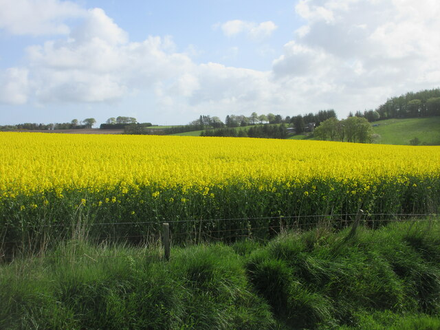
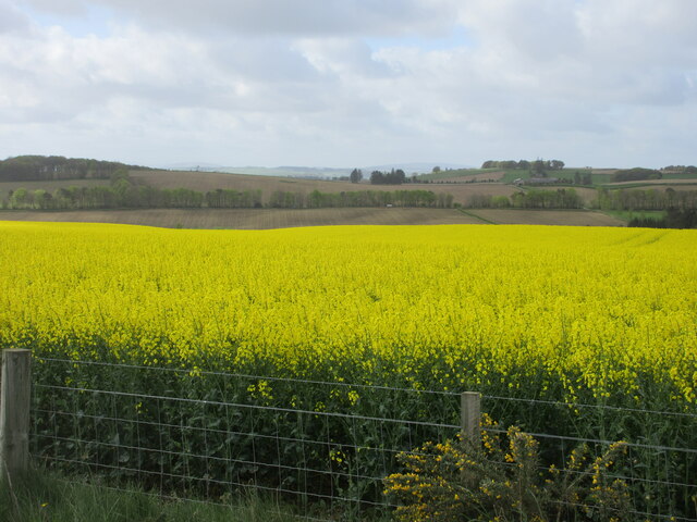
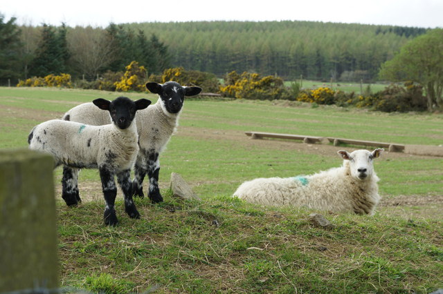
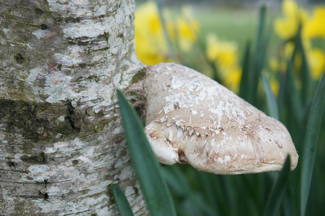
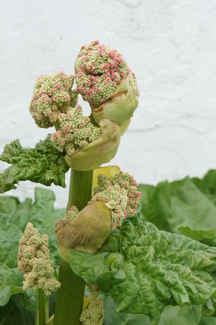
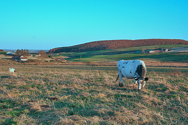
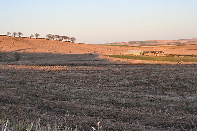
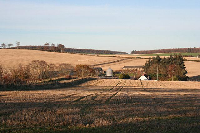
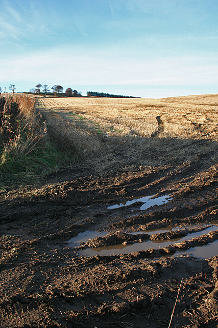
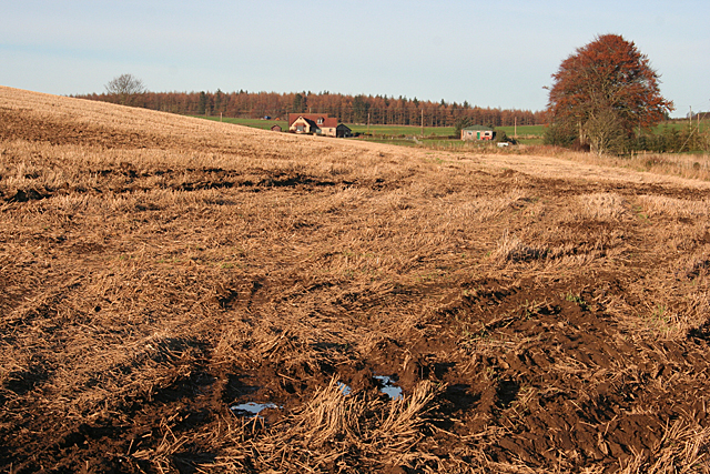
Brownside Wood Images

Images are sourced within 2km of 57.582368/-2.5551121 or Grid Reference NJ6654. Thanks to Geograph Open Source API. All images are credited.

Oil-seed rape near Brownside Looking east to a field of oil-seed rape near Brownside.
Oil-seed rape near Brownside
Looking east to a field of oil-seed rape near Brownside.
Oil-seed rape near Whitefield Looking south-westwards across a field of oil-seed rape near Whitefield.
Oil-seed rape near Whitefield
Looking south-westwards across a field of oil-seed rape near Whitefield.
Tams's Wood Mixed woodland of Tams's Wood, with the conifers of Brownside Wood beyond on the hillside.
Tams's Wood
Mixed woodland of Tams's Wood, with the conifers of Brownside Wood beyond on the hillside.
Road near Cooperhill Minor road heading north near Cooperhill.
Road near Cooperhill
Minor road heading north near Cooperhill.
Looking down the hill to Glinne Taobh A distant view from the south to the house at Glinne Taobh near Barbethill.
Looking down the hill to Glinne Taobh
A distant view from the south to the house at Glinne Taobh near Barbethill.
Snowdrops Snowdrop photo taken on the farm road to North Burreldales farm
Snowdrops
Snowdrop photo taken on the farm road to North Burreldales farm
Daffodils Daffodils on farm road leading to North Burreldales Farm.
Daffodils
Daffodils on farm road leading to North Burreldales Farm.
Beech Hedge Garden Hedge at North Burreldales farm house.
Beech Hedge
Garden Hedge at North Burreldales farm house.
Lambs and Ewe Lambs at North Burreldales farm looking towards Brownside Wood.
Lambs and Ewe
Lambs at North Burreldales farm looking towards Brownside Wood.
A perfect Fungus Tree fungus on farm road to North Burreldales.
This has been identified as a Birch tree polypore - Piptoporus betulinus. Thanks to MJ Richardson for the identification
A perfect Fungus
Tree fungus on farm road to North Burreldales. This has been identified as a Birch tree polypore - Piptoporus betulinus. Thanks to MJ Richardson for the identification
Rhubarb flower Rhubarb flower in the garden at North Burreldales
Rhubarb flower
Rhubarb flower in the garden at North Burreldales
Near Lower Deuchries On the left is Burngrains, and in the distance, on the right, is the oddly named Commissarybog.
Near Lower Deuchries
On the left is Burngrains, and in the distance, on the right, is the oddly named Commissarybog.
In the Shadow of Barbet Hill Most of this view is in shadow as the sun sets behind Barbet Hill, but Cowie Hill is still in the sunshine. Kiltryknock,towards the right, straddles the grid line.
In the Shadow of Barbet Hill
Most of this view is in shadow as the sun sets behind Barbet Hill, but Cowie Hill is still in the sunshine. Kiltryknock,towards the right, straddles the grid line.
Burnside of Carnousie The burn in question is the Cunning Burn, which drains into the River Deveron near the imaginatively named Burnend.
Burnside of Carnousie
The burn in question is the Cunning Burn, which drains into the River Deveron near the imaginatively named Burnend.
Brownside Looking up from the wet ruts at the field entrance to the dry stubble at the top of the brae.
Brownside
Looking up from the wet ruts at the field entrance to the dry stubble at the top of the brae.
South Brownside South Brownside is on the far side of the ditch which drains this area into the Cunning Burn. Pity about the power lines intruding on the view.
South Brownside
South Brownside is on the far side of the ditch which drains this area into the Cunning Burn. Pity about the power lines intruding on the view.
Crofts of Brownside A modern house has replaced an older croft house at Crofts of Brownside.
Crofts of Brownside
A modern house has replaced an older croft house at Crofts of Brownside.
Wet Ground near Brownside Even though it's close to the ditch and the weather has been dry, there is still water lying in the ruts in the entrance to this field. Crofts of Brownside is in the background.
Wet Ground near Brownside
Even though it's close to the ditch and the weather has been dry, there is still water lying in the ruts in the entrance to this field. Crofts of Brownside is in the background.
Show me another place!

Brownside Wood is located at Grid Ref: NJ6654 (Lat: 57.582368, Lng: -2.5551121)

Unitary Authority: Aberdeenshire

Police Authority: North East

What 3 Words

///rationing.rockets.stung. Near Aberchirder, Aberdeenshire

Related Wikis

Forglen House

Forglen House is a mansion house that forms the centrepiece of the Forglen estate in the parish of Forglen, north-west of Turriff, Aberdeenshire, in the...

Whitehill Wood, Aberdeenshire

Whitehill Wood is a wood and megalithic stone circle in Aberdeenshire, Scotland, located off the B9025 road between Aberchirder and Turriff and between...

Bogton

Bogton is a rural area in Aberdeenshire, Scotland. To the south is Whitehill Wood and megalithic circle. == References ==

Eden Castle

Eden Castle is a castle near Banff in Aberdeenshire, Scotland. The castle was built in the latter half of the 16th century by the Meldrum family with renovation...

Nearby Amenities

Located within 500m of 57.582368,-2.5551121
Brownside Hill
Natural: peak
Lat/Long: 57.5823583/-2.5579126
Power: pole
Lat/Long: 57.5779894/-2.5534073
The data included in this document is from www.openstreetmap.org. The data is made available under ODbL.

Have you been to Brownside Wood?

Leave your review of Brownside Wood below (or comments, questions and feedback).