Brownside Hill
Hill, Mountain in Banffshire
Scotland
Brownside Hill
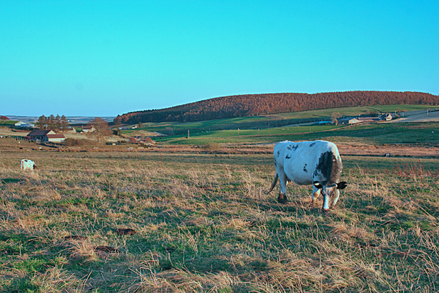
Brownside Hill, located in Banffshire, Scotland, is a prominent hill with an elevation of approximately 460 meters (1,509 feet). Situated in the eastern part of the country, it is part of the larger Grampian Mountains range. The hill is known for its distinctive brownish hue, which gives it its name.
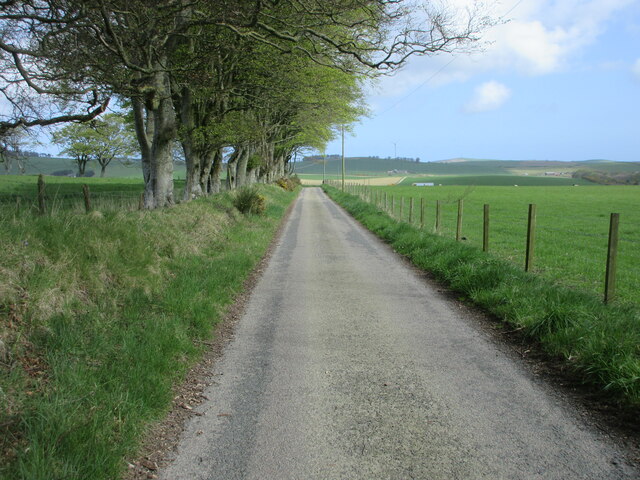
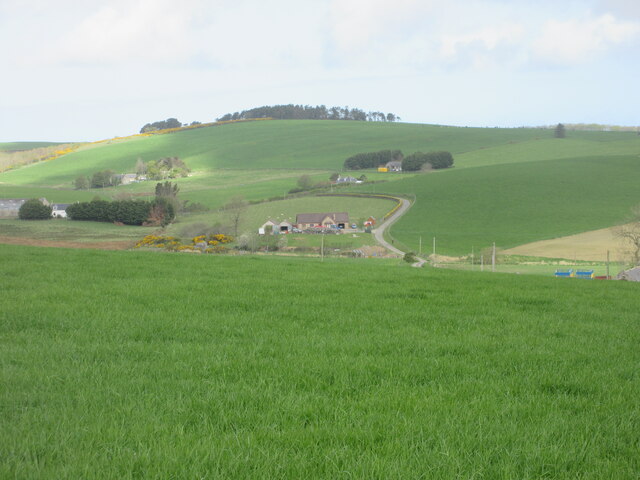
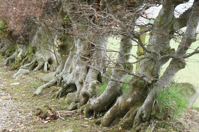
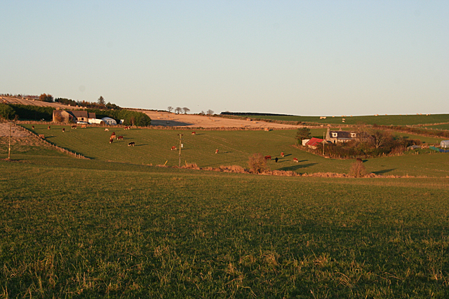
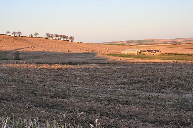
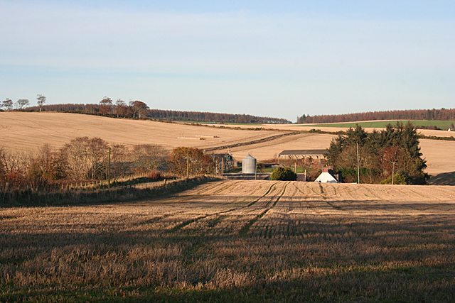
Covered in a mix of heather, grass, and sparse woodland, Brownside Hill offers a picturesque landscape for hikers and nature enthusiasts. The summit provides breathtaking panoramic views of the surrounding countryside, including the nearby towns of Banff and Macduff, as well as the North Sea coastline.
The hill is accessible via well-marked trails that cater to various skill levels, making it a popular destination for both experienced climbers and casual walkers. The ascent to the summit is moderately challenging, with some steep sections, but the effort is rewarded by the stunning vistas from the top.
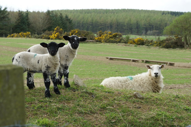
Wildlife is abundant in the area, with the hill serving as a habitat for various bird species, including buzzards and kestrels. In addition, visitors may catch glimpses of red deer and rabbits while traversing the trails.
While Brownside Hill is not as well-known as some of the higher peaks in the Grampians, its accessibility, natural beauty, and diverse flora and fauna make it a worthwhile destination for those seeking outdoor adventures or simply a peaceful escape into nature.
If you have any feedback on the listing, please let us know in the comments section below.
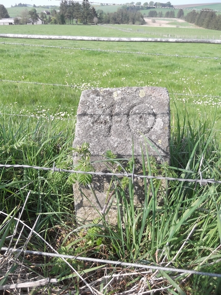
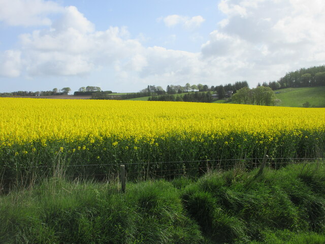
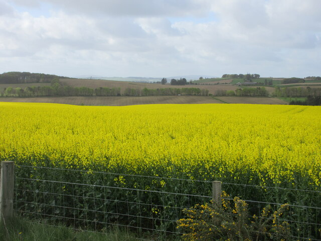
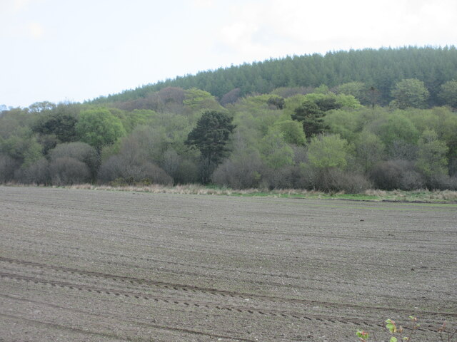
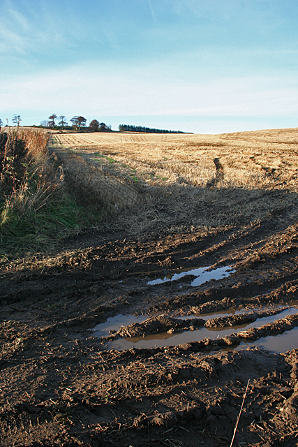
Brownside Hill Images
Images are sourced within 2km of 57.58223/-2.5577858 or Grid Reference NJ6654. Thanks to Geograph Open Source API. All images are credited.

Brownside Hill is located at Grid Ref: NJ6654 (Lat: 57.58223, Lng: -2.5577858)
Unitary Authority: Aberdeenshire
Police Authority: North East
What 3 Words
///emporium.contexts.proven. Near Aberchirder, Aberdeenshire
Nearby Locations
Related Wikis
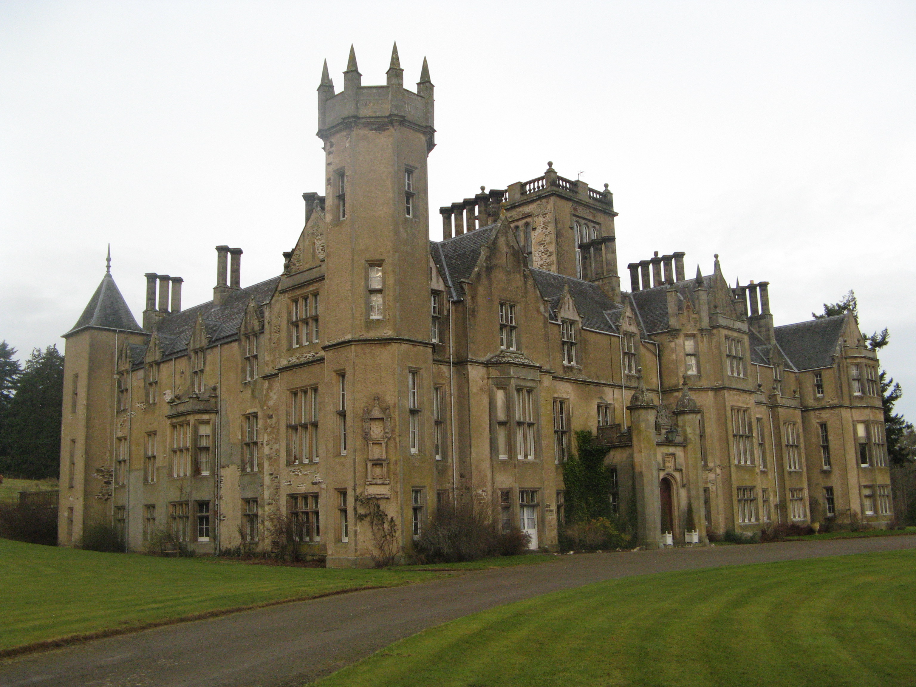
Forglen House
Forglen House is a mansion house that forms the centrepiece of the Forglen estate in the parish of Forglen, north-west of Turriff, Aberdeenshire, in the...

Whitehill Wood, Aberdeenshire
Whitehill Wood is a wood and megalithic stone circle in Aberdeenshire, Scotland, located off the B9025 road between Aberchirder and Turriff and between...

Bogton
Bogton is a rural area in Aberdeenshire, Scotland. To the south is Whitehill Wood and megalithic circle. == References ==

Eden Castle
Eden Castle is a castle near Banff in Aberdeenshire, Scotland. The castle was built in the latter half of the 16th century by the Meldrum family with renovation...

Aberchirder
Aberchirder (Scots: Fogieloan, Scottish Gaelic: Obar Chiardair) known locally as Foggieloan or Foggie, is a village in Aberdeenshire, Scotland, situated...

Castle of King Edward
The Castle of King Edward is a 13th-century ruined castle near King Edward, Aberdeenshire, Scotland, located 6 kilometres (3.7 mi) north of Turriff, where...
King Edward, Aberdeenshire
King Edward (Gaelic: Cinn Eadar) is a small village, parish and former feudal barony near the north coast of Scotland in Buchan midway between Turriff...

King Edward railway station
King Edward railway station was a railway station at King Edward, King Edward Parish, Aberdeenshire, Scotland on the rural branchline to Macduff. It was...
Nearby Amenities
Located within 500m of 57.58223,-2.5577858Have you been to Brownside Hill?
Leave your review of Brownside Hill below (or comments, questions and feedback).