Broomhill Wood

Wood, Forest in Kincardineshire

Scotland

Broomhill Wood

Minor road near Glassel
Minor road near Glassel Credit: Steven Brown

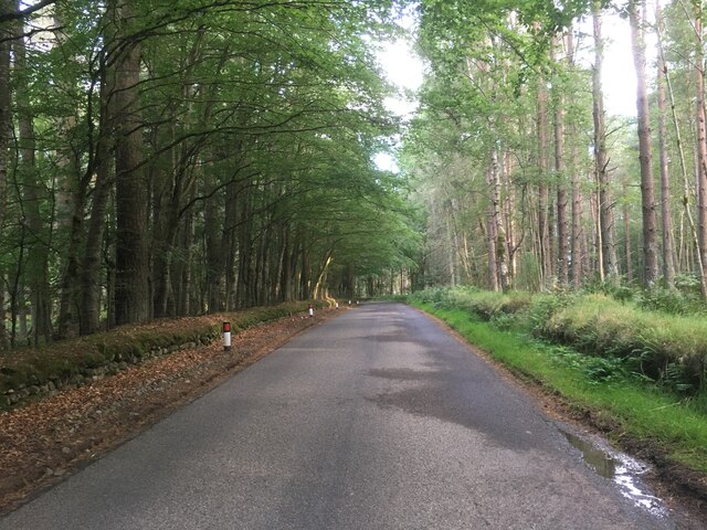
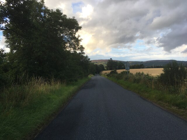
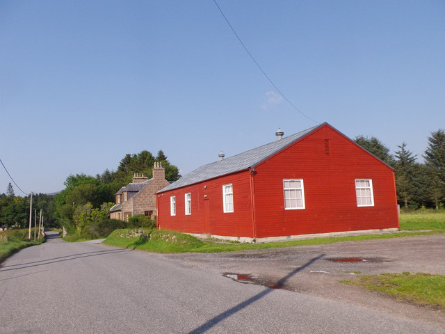
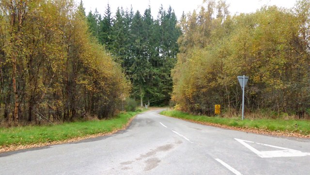
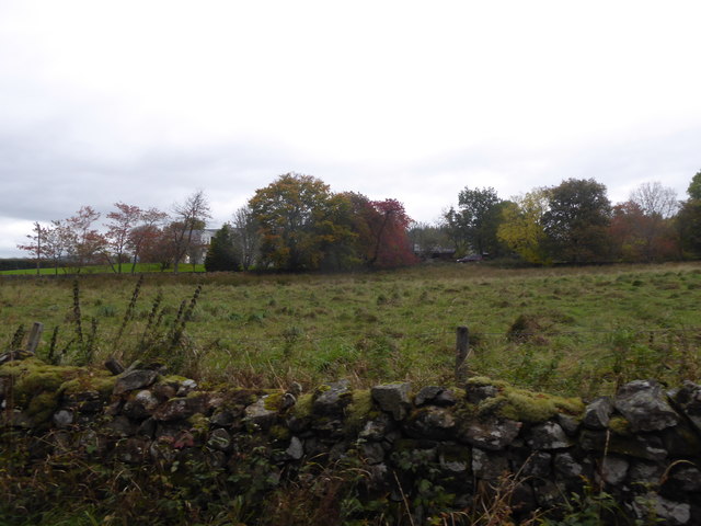
Broomhill Wood is a picturesque woodland area located in Kincardineshire, Scotland. Covering an expansive area of approximately 100 hectares, this forest is a haven for nature enthusiasts and outdoor lovers alike. It is nestled on the northern slopes of the picturesque hills, offering breathtaking views of the surrounding countryside.

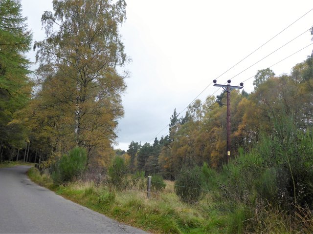
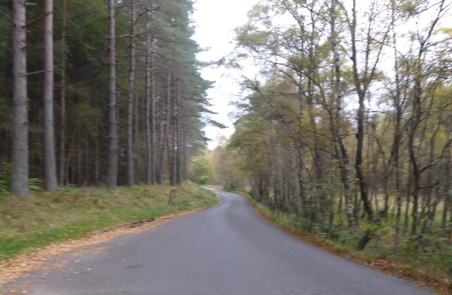
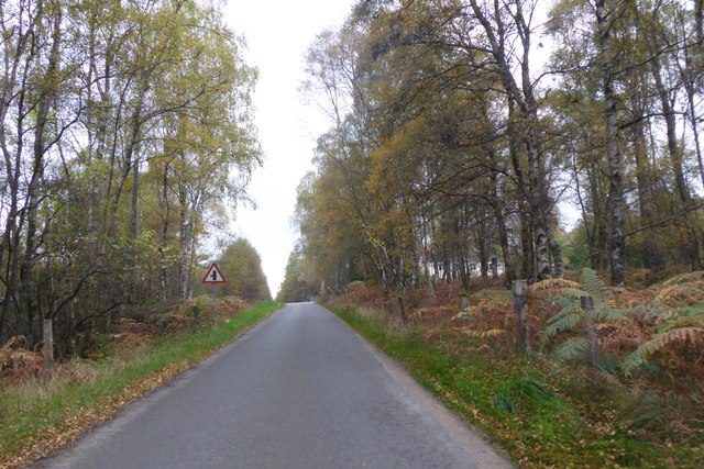
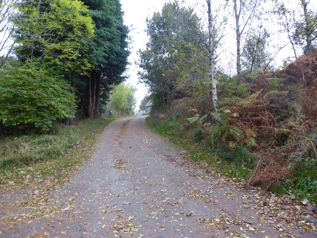
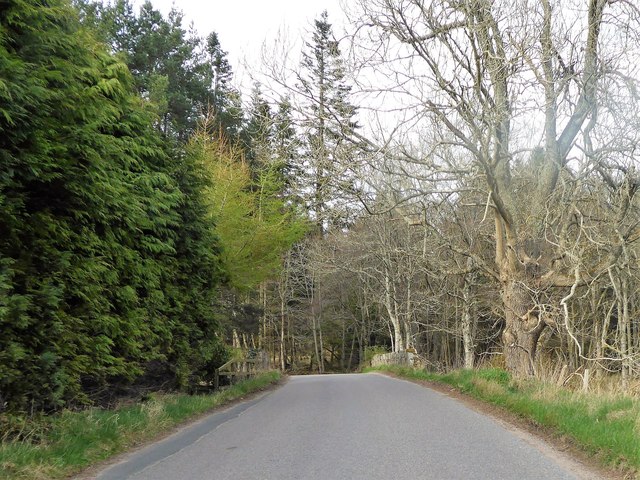
The wood is predominantly made up of a diverse range of tree species, including oak, birch, and beech. These majestic trees create a lush canopy, providing a tranquil and serene atmosphere within the woodland. The forest floor is carpeted with a rich variety of wildflowers, ferns, and mosses, adding to its natural beauty.

Broomhill Wood is home to an abundance of wildlife. Visitors can often spot red squirrels, badgers, and roe deer while exploring the trails that wind through the forest. Birdwatchers will also be delighted by the numerous species of birds that inhabit the area, including woodpeckers, owls, and various songbirds.

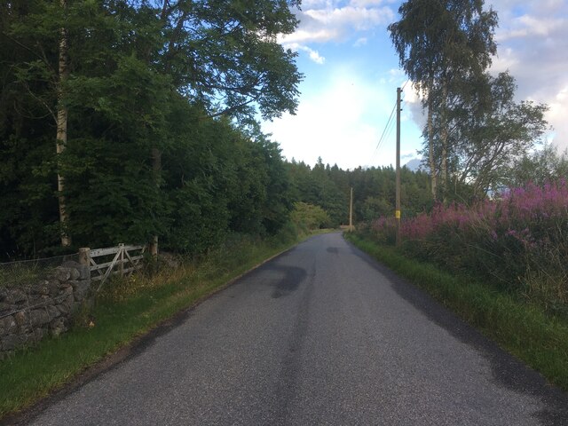
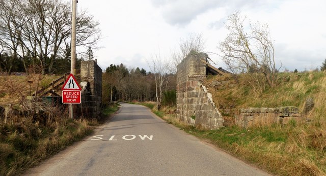
The woodland is crisscrossed with well-maintained walking trails, allowing visitors to fully immerse themselves in the beauty of the natural surroundings. These paths lead to hidden gems, such as a picturesque waterfall and a small pond, providing peaceful spots for reflection and relaxation.

Broomhill Wood is a popular destination for families, walkers, and nature enthusiasts looking to escape the hustle and bustle of everyday life. Its idyllic setting and diverse ecosystem make it a truly enchanting place to explore and appreciate the wonders of nature.

If you have any feedback on the listing, please let us know in the comments section below.

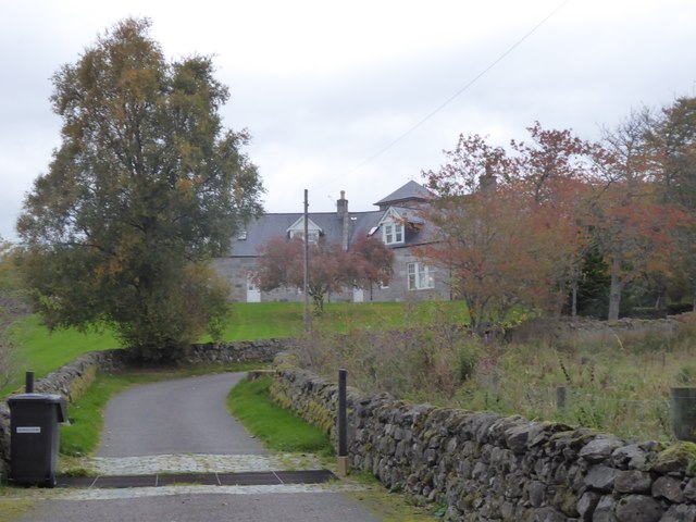
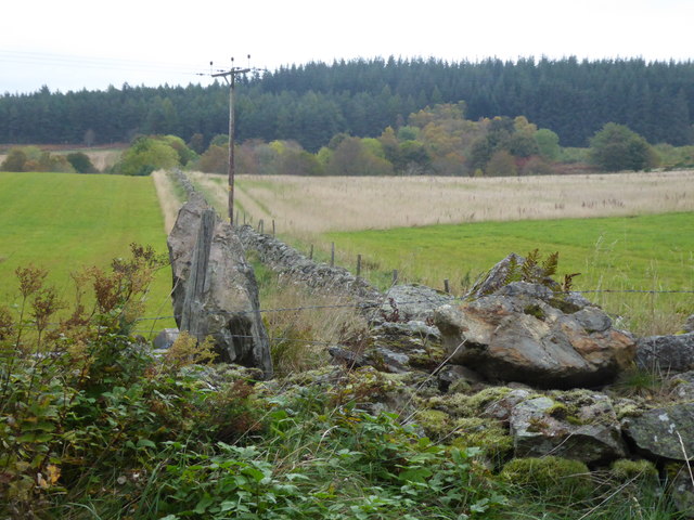
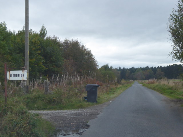
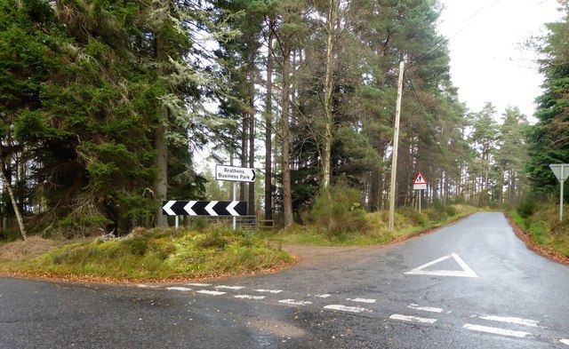
Broomhill Wood Images

Images are sourced within 2km of 57.079427/-2.5543226 or Grid Reference NO6698. Thanks to Geograph Open Source API. All images are credited.

Minor road near Glassel
Minor road near Pittenkerrie
Minor road near Brathens
Minor road past Jampots Wood
Glassel village hall (2015) By a minor road between Torphins and Banchory. Weatherboarding a vibrant colour in this afternoon sunshine.
Glassel village hall (2015)
By a minor road between Torphins and Banchory. Weatherboarding a vibrant colour in this afternoon sunshine.
Overhead power lines on wooden poles In a wayleave through Brathens Wood.
Overhead power lines on wooden poles
In a wayleave through Brathens Wood.
Minor road through Brathens Wood Power line wayleave on right; dismantled railway track overgrown on left.
Minor road through Brathens Wood
Power line wayleave on right; dismantled railway track overgrown on left.
Approaching East Brathens road junction
Brathens Eco-Business Park entrance Entrance road off the minor road.
Brathens Eco-Business Park entrance
Entrance road off the minor road.
Road to East Brathens From the minor road by Brathens Business Centre.
Road to East Brathens
From the minor road by Brathens Business Centre.
Access road to Brathens Croft Uphill off the minor road near Brathens Business Centre.
Access road to Brathens Croft
Uphill off the minor road near Brathens Business Centre.
A view towards 'Kingdom' From the minor road; over a dry stone wall and a field of distinctly rough grazing,
A view towards 'Kingdom'
From the minor road; over a dry stone wall and a field of distinctly rough grazing,
Access to 'Kingdom', Brathens From the minor road, over a cattle grid. Farm name on the refuse bin.
Access to 'Kingdom', Brathens
From the minor road, over a cattle grid. Farm name on the refuse bin.
Stone wall field boundary at Brathens Forested Hill of Brathens in the background.
Stone wall field boundary at Brathens
Forested Hill of Brathens in the background.
Access track to Netherton (Nether Brathens) Refuse bin out for waste collection by the public road.
Access track to Netherton (Nether Brathens)
Refuse bin out for waste collection by the public road.
Junction in Brathens Moss Access to Brathens Business Park; off Banchory to Glassel road.
Junction in Brathens Moss
Access to Brathens Business Park; off Banchory to Glassel road.
Bridge over Beltie Burn On a minor road at Glassel; Bogarn Wood ahead.
Bridge over Beltie Burn
On a minor road at Glassel; Bogarn Wood ahead.
Dismantled Railway Bridge over minor road At Glassel; the 'road narrows' warning sign is for a blind hump-back stone bridge over the Beltie Burn a short distance ahead.
Dismantled Railway Bridge over minor road
At Glassel; the 'road narrows' warning sign is for a blind hump-back stone bridge over the Beltie Burn a short distance ahead.
Show me another place!

Broomhill Wood is located at Grid Ref: NO6698 (Lat: 57.079427, Lng: -2.5543226)

Unitary Authority: Aberdeenshire

Police Authority: North East

What 3 Words

///payout.grapevine.spinners. Near Torphins, Aberdeenshire

Nearby Locations

Broomhill Wood

Related Wikis

Beltie Burn

The Beltie Burn is a burn in Aberdeenshire, Scotland, which below Torphins and Glassel is known as the Burn of Canny. It begins in the hill of Benaquhallie...

Glassel railway station

Glassel railway station is a disused railway station in Britain. It served Glassel House, the Mill of Beltie and the local farms and the inhabitants of...
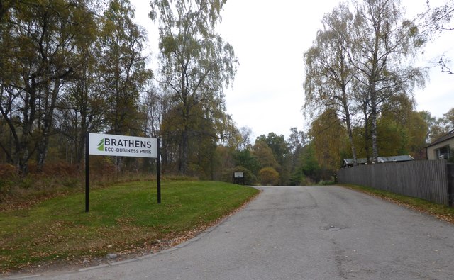
Brathens

Brathens is a village in Aberdeenshire, Scotland. == References ==

Cluny Crichton Castle

Cluny Crichton Castle (also known as Clounie Crighton Castle) is a ruined 3-story tower house on the southern slopes of the Hill of Fare in Aberdeenshire...

Nearby Amenities

Located within 500m of 57.079427,-2.5543226
West Brathens
Place: hamlet
Lat/Long: 57.0762655/-2.5574991
Woodend of Glassel
Place: hamlet
Lat/Long: 57.0771997/-2.5609345
Power: pole
Lat/Long: 57.0760863/-2.5496623
Power: pole
Lat/Long: 57.0756735/-2.5574486
Power: pole
Lat/Long: 57.0756386/-2.5564184
Power: pole
Lat/Long: 57.07557/-2.5551623
Power: pole
Lat/Long: 57.0755049/-2.5538307
Power: pole
Lat/Long: 57.0761709/-2.5534785
Power: pole
Lat/Long: 57.0768343/-2.553186
Power: pole
Lat/Long: 57.0765815/-2.551859
Power: pole
Lat/Long: 57.0763695/-2.5507911
Power: pole
Lat/Long: 57.0762154/-2.5499559
Power: pole
Lat/Long: 57.0768657/-2.5492824
Power: pole
Lat/Long: 57.0774436/-2.5490032
Power: pole
Lat/Long: 57.0774472/-2.561257
Power: pole
Lat/Long: 57.07662/-2.5602711
Power: pole
Lat/Long: 57.0760468/-2.5595378
The data included in this document is from www.openstreetmap.org. The data is made available under ODbL.

Have you been to Broomhill Wood?

Leave your review of Broomhill Wood below (or comments, questions and feedback).