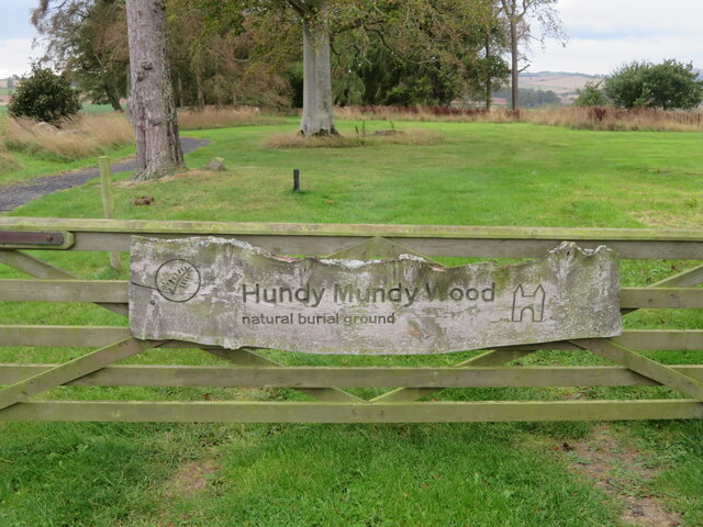
Heathery Plantation
Wood, Forest in Berwickshire
Scotland
Heathery Plantation
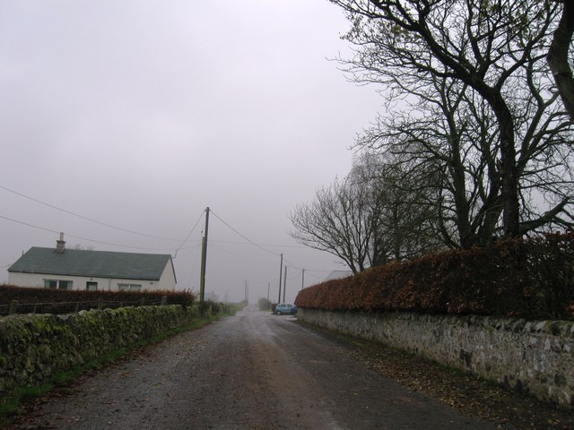
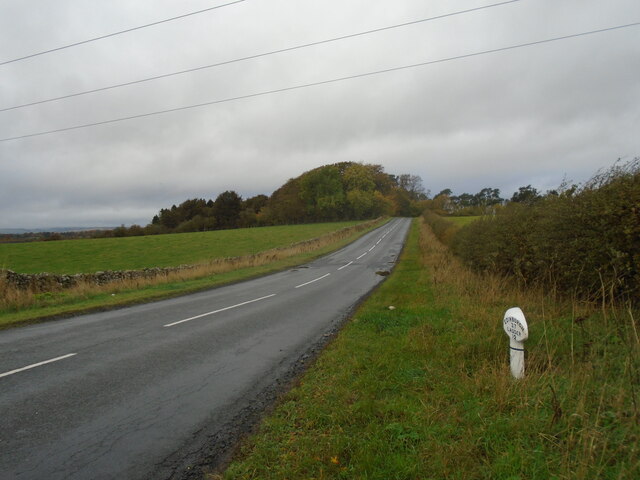
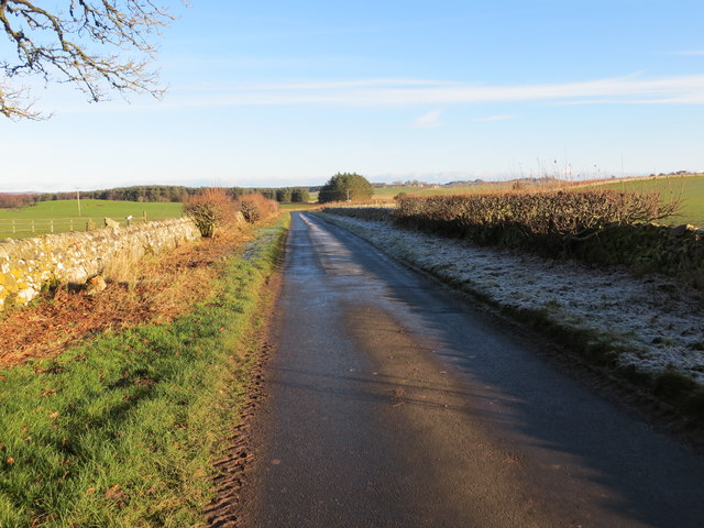
Heathery Plantation is a picturesque wood located in the stunning countryside of Berwickshire, Scotland. Spanning several acres, this forested area is renowned for its natural beauty and diverse array of plant and animal species.
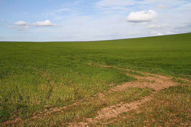
The plantation is characterized by its dense growth of heather, which covers the forest floor and gives the area its name. This vibrant plant creates a striking contrast against the backdrop of towering Scots pines and sprawling birch trees. The wood is also home to a variety of other flora, including bluebells, wild garlic, and ferns, which add to the area's enchanting atmosphere.
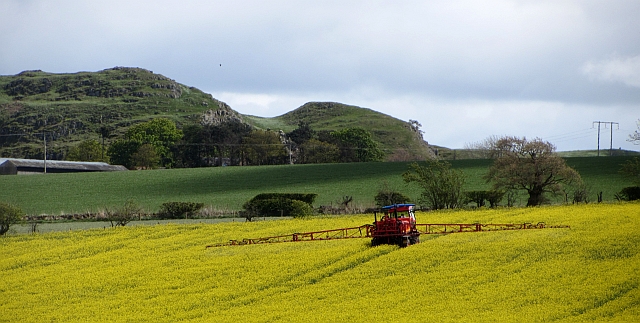
Heathery Plantation is a haven for wildlife enthusiasts, as it provides habitat for numerous species. Visitors may catch a glimpse of red squirrels darting through the trees or hear the melodious songs of woodland birds, such as the chaffinch or goldcrest. The wood is also known to host a population of roe deer, which can occasionally be spotted grazing in clearings.
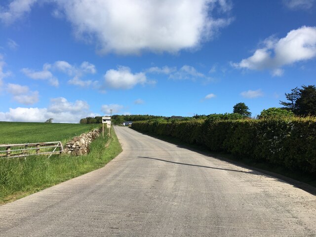
This woodland gem offers several walking trails, allowing visitors to explore its natural wonders at their own pace. The paths wind through the forest, offering breathtaking views of the surrounding countryside and glimpses of the nearby Cheviot Hills. Along the way, visitors can discover secluded picnic spots or simply immerse themselves in the tranquility of nature.
Heathery Plantation is a true treasure of Berwickshire, offering visitors a serene escape from the hustle and bustle of daily life. Its rich biodiversity, stunning scenery, and peaceful ambiance make it a must-visit destination for nature lovers and those seeking a peaceful retreat in the heart of the Scottish countryside.
If you have any feedback on the listing, please let us know in the comments section below.
Heathery Plantation Images
Images are sourced within 2km of 55.647166/-2.5380885 or Grid Reference NT6639. Thanks to Geograph Open Source API. All images are credited.
Heathery Plantation is located at Grid Ref: NT6639 (Lat: 55.647166, Lng: -2.5380885)
Unitary Authority: The Scottish Borders
Police Authority: The Lothians and Scottish Borders
What 3 Words
///kinder.eats.poetry. Near Kelso, Scottish Borders
Nearby Locations
Related Wikis

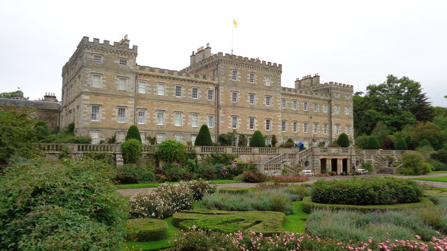
Mellerstain House
Mellerstain House is a stately home around 8 miles (13 kilometres) north of Kelso in the Borders, Scotland. It is currently the home of George Baillie...

Nenthorn
Nenthorn is a parish and hamlet in the south of the historic county of Berwickshire in the Scottish Borders area of Scotland. It is included in the Floors...

Smailholm
Smailholm (Scots: Smailhowm) is a small village in the historic county of Roxburghshire in south-east Scotland. It is at grid reference NT648364 and straddles...

Gordon, Scottish Borders
Gordon is a village in the Scottish Borders area of Scotland, within the historic county of Berwickshire. The village sits on the crossroads of the A6105...

Greenknowe Tower
Greenknowe Tower is a 16th-century tower house, located just west of the village of Gordon, in the Scottish Borders. Although a roofless ruin, the stonework...

Gordon Moss
Gordon Moss is a nature reserve near Gordon, in the Scottish Borders area of Scotland, in the former Berwickshire. The moss is situated one mile west of...

Gordon (NBR) railway station
Gordon railway station served the village of Gordon, Scottish Borders, Scotland from 1863 to 1948 on the Berwickshire Railway. == History == The station...

Hume Castle
Hume Castle is the heavily modified remnants of a late 12th- or early 13th-century castle of enceinte held by the powerful Hume or Home family, Wardens...
Nearby Amenities
Located within 500m of 55.647166,-2.5380885Have you been to Heathery Plantation?
Leave your review of Heathery Plantation below (or comments, questions and feedback).