Stichill Plantation
Wood, Forest in Berwickshire
Scotland
Stichill Plantation
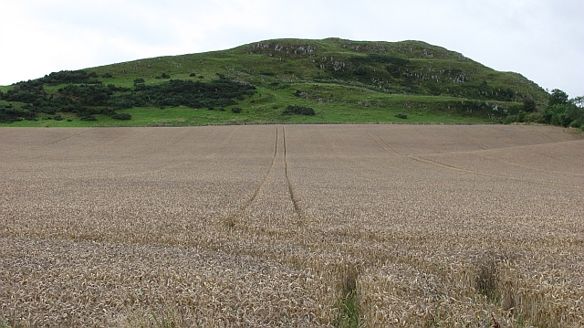
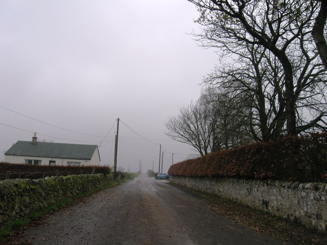
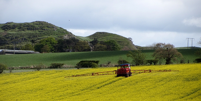
Stichill Plantation is a picturesque woodland located in the rural region of Berwickshire, Scotland. Spread across a vast expanse of land, this forested area is known for its natural beauty and diverse range of flora and fauna.
The plantation primarily consists of a mix of broadleaf and coniferous trees, including oak, beech, pine, and spruce. These trees provide a lush green canopy, creating a serene and tranquil atmosphere for visitors. The forest floor is adorned with a variety of wildflowers, such as bluebells and primroses, adding vibrant colors to the landscape.
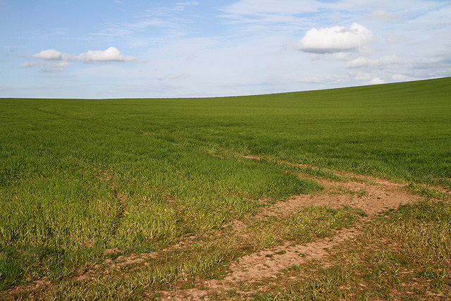
Stichill Plantation offers numerous walking trails, allowing visitors to explore the area at their own pace. These trails wind through the forest, providing glimpses of stunning vistas and hidden gems along the way. The plantation is also home to a rich diversity of wildlife, including deer, foxes, and various bird species, making it a popular spot for nature enthusiasts and birdwatchers.
In addition to its natural beauty, Stichill Plantation holds historical significance. It is believed that the forest has been present for centuries and has witnessed various events throughout history. Remnants of ancient structures, such as stone walls and ruins, can still be found within the plantation, offering glimpses into the past.
Overall, Stichill Plantation in Berwickshire is a haven of natural beauty, offering visitors a chance to immerse themselves in the tranquility of nature, explore its diverse flora and fauna, and connect with its rich historical heritage.
If you have any feedback on the listing, please let us know in the comments section below.
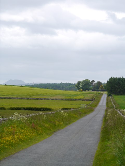
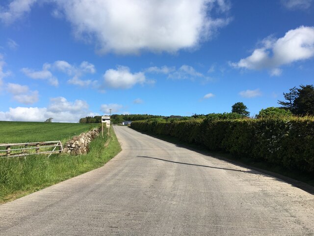
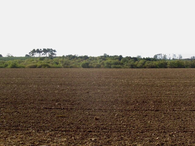
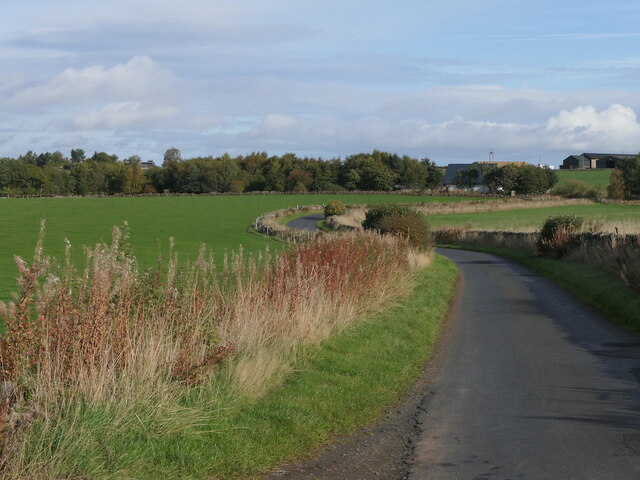
Stichill Plantation Images
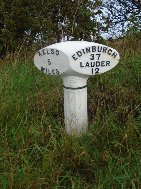
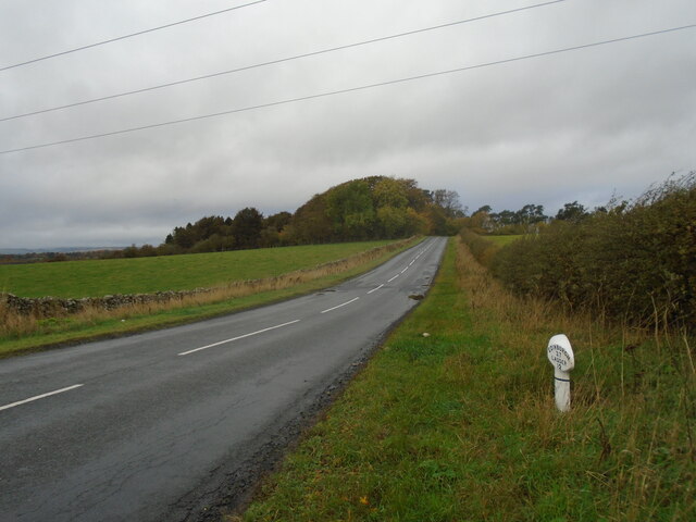
Images are sourced within 2km of 55.651384/-2.5268638 or Grid Reference NT6639. Thanks to Geograph Open Source API. All images are credited.


Stichill Plantation is located at Grid Ref: NT6639 (Lat: 55.651384, Lng: -2.5268638)
Unitary Authority: The Scottish Borders
Police Authority: The Lothians and Scottish Borders
What 3 Words
///skews.unfilled.nurtures. Near Kelso, Scottish Borders
Nearby Locations
Related Wikis

Mellerstain House
Mellerstain House is a stately home around 8 miles (13 kilometres) north of Kelso in the Borders, Scotland. It is currently the home of George Baillie...

Nenthorn
Nenthorn is a parish and hamlet in the south of the historic county of Berwickshire in the Scottish Borders area of Scotland. It is included in the Floors...

Hume Castle
Hume Castle is the heavily modified remnants of a late 12th- or early 13th-century castle of enceinte held by the powerful Hume or Home family, Wardens...

Gordon, Scottish Borders
Gordon is a village in the Scottish Borders area of Scotland, within the historic county of Berwickshire. The village sits on the crossroads of the A6105...
Nearby Amenities
Located within 500m of 55.651384,-2.5268638Have you been to Stichill Plantation?
Leave your review of Stichill Plantation below (or comments, questions and feedback).