Scare Wood

Wood, Forest in Aberdeenshire

Scotland

Scare Wood

Bogmore Wood The bluish hint on the trees suggests that they are Douglas Fir. They make a pleasant change from Sitka Spruce. Through the gap, there's a distant glimpse of the village of Monymusk.
Bogmore Wood Credit: Anne Burgess

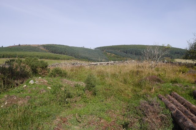
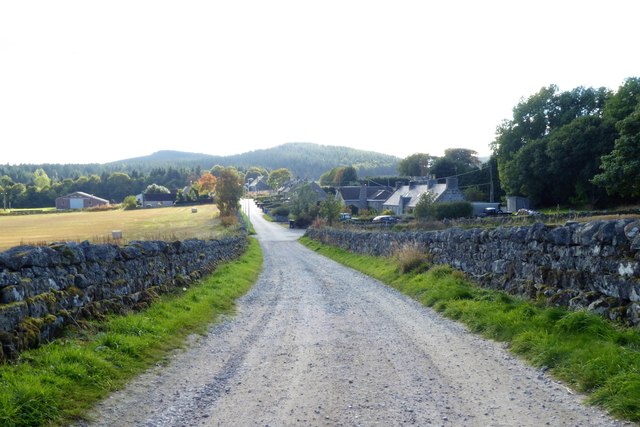
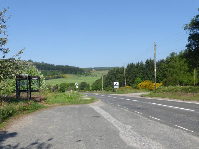
Scare Wood is a picturesque forest located in Aberdeenshire, Scotland. Covering an area of approximately 100 hectares, it is known for its abundant wildlife and stunning natural beauty. The wood is situated near the village of Tarland and is easily accessible by road.

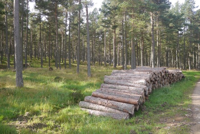
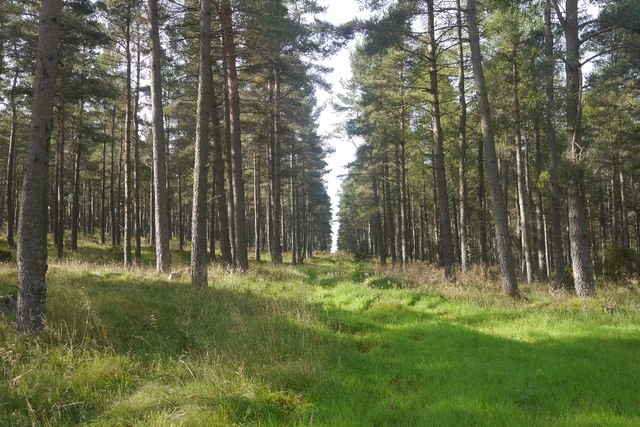
One of the most remarkable features of Scare Wood is its diverse range of tree species. The forest is predominantly made up of native trees such as oak, birch, and rowan. These towering trees create a dense canopy, providing a tranquil and shaded environment for visitors to explore.

The forest is home to a variety of wildlife, making it a haven for nature enthusiasts. Red squirrels, roe deer, and various bird species can often be spotted among the trees. The wood also boasts a rich diversity of plant life, with an array of wildflowers and ferns lining the forest floor.

Scare Wood offers a network of well-maintained walking trails, allowing visitors to immerse themselves in the natural surroundings. The paths wind through the forest, providing breathtaking views of the landscape. There are also designated picnic areas, providing a perfect spot for visitors to relax and enjoy the peaceful atmosphere.

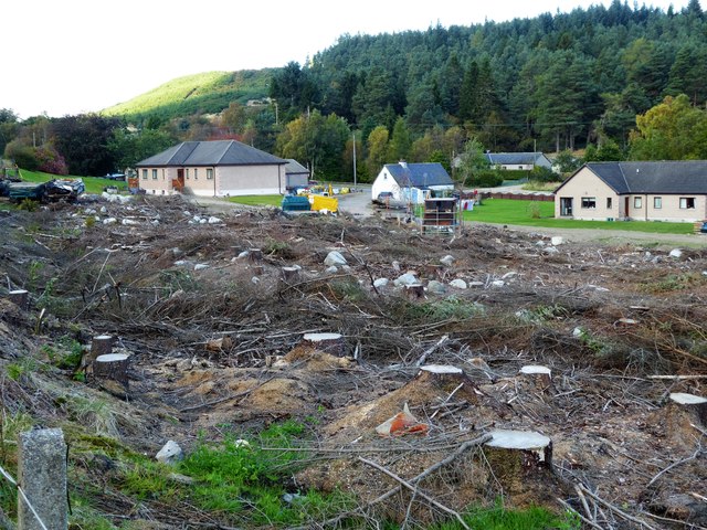
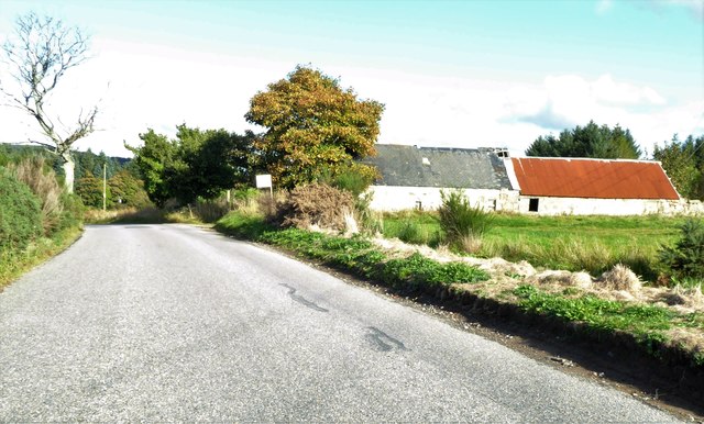
Additionally, Scare Wood has a fascinating history. It is believed to have been established in the 18th century, and remnants of old ruins and stone walls can still be found within the forest, serving as a reminder of its past.

Overall, Scare Wood in Aberdeenshire is a captivating destination for those seeking tranquility and a connection with nature. Its enchanting scenery, diverse wildlife, and well-preserved trails make it an ideal location for hiking, picnicking, or simply unwinding in a serene environment.

If you have any feedback on the listing, please let us know in the comments section below.

Scare Wood Images

Images are sourced within 2km of 57.198184/-2.5606195 or Grid Reference NJ6612. Thanks to Geograph Open Source API. All images are credited.

Bogmore Wood The bluish hint on the trees suggests that they are Douglas Fir. They make a pleasant change from Sitka Spruce. Through the gap, there's a distant glimpse of the village of Monymusk.
Bogmore Wood
The bluish hint on the trees suggests that they are Douglas Fir. They make a pleasant change from Sitka Spruce. Through the gap, there's a distant glimpse of the village of Monymusk.
Boulders in a Dyke Most of this field seems to be marked by a row of very large boulders, presumably erratics cleared from the field.
Boulders in a Dyke
Most of this field seems to be marked by a row of very large boulders, presumably erratics cleared from the field.
Saltire Tree Stump The cross in the surface of this tree stump is the remains of four twigs growing at right angles to one another. The tree eventually engulfed them as it expanded, and the woodcutter's saw just happens to have cut at just the right level to expose them to view.
Saltire Tree Stump
The cross in the surface of this tree stump is the remains of four twigs growing at right angles to one another. The tree eventually engulfed them as it expanded, and the woodcutter's saw just happens to have cut at just the right level to expose them to view.
Lonesome Pine This solitary Scots Pine looks as if it has a bit of a history. It may have been part of a plantation, but if so it was left standing when its fellows were felled. It was then able to grow out a bit, as Scots Pines will do when not competing with others too close to them. Then it has lost some of its lower branches, leaving bare stumps near the base of the tree, but it still has a green crown.
Lonesome Pine
This solitary Scots Pine looks as if it has a bit of a history. It may have been part of a plantation, but if so it was left standing when its fellows were felled. It was then able to grow out a bit, as Scots Pines will do when not competing with others too close to them. Then it has lost some of its lower branches, leaving bare stumps near the base of the tree, but it still has a green crown.
Westside The snow in the foreground field is shaded by the forest in this view across the Todlachie Burn to Westside.
Westside
The snow in the foreground field is shaded by the forest in this view across the Todlachie Burn to Westside.
Woodland, Tillyfourie Hill Mature conifers beside the Pitfichie Forest car park.
Woodland, Tillyfourie Hill
Mature conifers beside the Pitfichie Forest car park.
Logging road, Tillyfourie Hill Near the car park.
Logging road, Tillyfourie Hill
Near the car park.
Dense woodland, Pitfichie Forest Fight on both sides with young Sitka spruce plantations. Fortunately most of the route up to Cairn William was through more interesting forest.
Dense woodland, Pitfichie Forest
Fight on both sides with young Sitka spruce plantations. Fortunately most of the route up to Cairn William was through more interesting forest.
Tillyfourie Hill Mature Scots Pine woodland and log pile in Pitfichie Forest.
Tillyfourie Hill
Mature Scots Pine woodland and log pile in Pitfichie Forest.
View towards White Lady White Lady is a wooded hill in Pitfichie Forest.
View towards White Lady
White Lady is a wooded hill in Pitfichie Forest.
Ride, Tillyfourie Hill A survivor from the ride pattern shown on the 1961 1:25,000 map.
Ride, Tillyfourie Hill
A survivor from the ride pattern shown on the 1961 1:25,000 map.
Road to Tillyfourie The farm access road clips the corner of Forestry Commission woodland.
Road to Tillyfourie
The farm access road clips the corner of Forestry Commission woodland.
Cleared forest at Tillyfourie View towards Corrennie Quarry from the A944.
Cleared forest at Tillyfourie
View towards Corrennie Quarry from the A944.
Tillycairn Cottages On the lane from Tillycairn Farm.
Tillycairn Cottages
On the lane from Tillycairn Farm.
Barn at Tillycairn
Barn at Tillycairn
Tillycairn farmstead
Still derelict, but site now for sale See same building in 2007. <a href="https://www.geograph.org.uk/photo/436268">NJ6510 : Derelict cottage</a>
Still derelict, but site now for sale
See same building in 2007. NJ6510 : Derelict cottage
Public telephone box In a layby on A944 at Millbank.
Public telephone box
In a layby on A944 at Millbank.
Show me another place!

Scare Wood is located at Grid Ref: NJ6612 (Lat: 57.198184, Lng: -2.5606195)

Unitary Authority: Aberdeenshire

Police Authority: North East

What 3 Words

///torso.prayers.shook. Near Sauchen, Aberdeenshire

Nearby Locations

Scare Wood

Related Wikis

Tillycairn Castle

Tillycairn Castle is an L-plan castle, dating from the 16th century, standing on high ground around 2.0 miles (3.2 km) south-east of Cluny in Aberdeenshire...

A944 road

The A944 road connects Aberdeen with Strathdon in north-east Scotland. == Route == It originates at the Lang Stracht in the city, which is a re-routing...

Tillyfourie railway station

Tillyfourie railway station was a railway station serving Tillyfourie, Aberdeenshire, Scotland. The station opened on 2 June 1860 on the Alford Valley...

Tillyfourie

Tillyfourie is a hamlet in Aberdeenshire, Scotland. It is situated at the junction between the A944 road and the B993 road. A disused quarry and a stone...

Have you been to Scare Wood?

Leave your review of Scare Wood below (or comments, questions and feedback).