Burnhead Wood

Wood, Forest in East Lothian

Scotland

Burnhead Wood

Newly planted stripwood, Spott
Newly planted stripwood, Spott Credit: Richard Webb

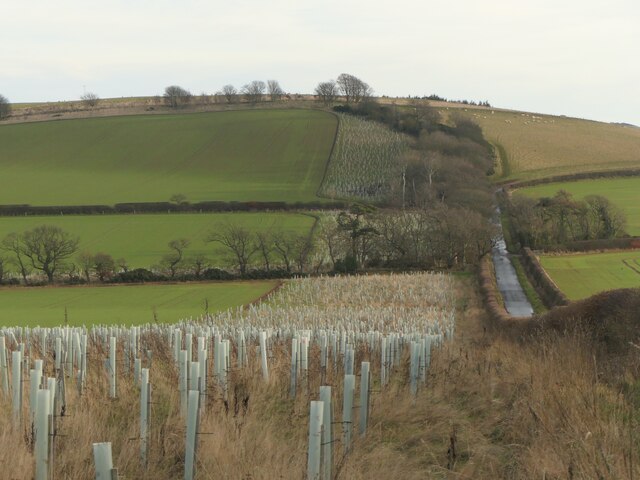
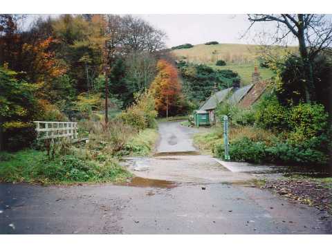
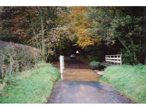
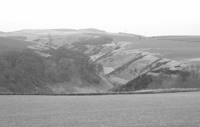
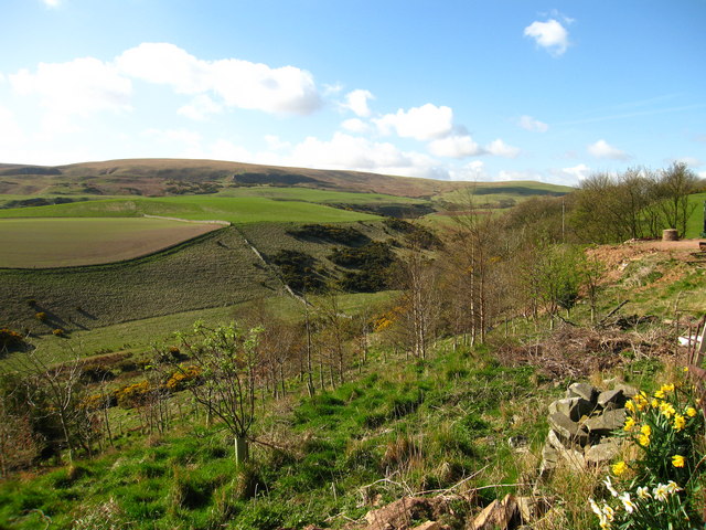
Burnhead Wood is a picturesque forest located in East Lothian, Scotland. Spanning over an area of approximately 50 hectares, it is a popular destination for nature enthusiasts, hikers, and birdwatchers. The wood is situated just a few miles away from the charming village of East Saltoun, offering easy access to visitors.

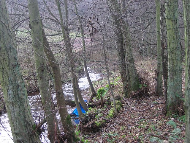
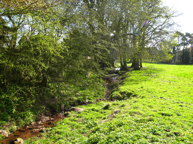
The wood comprises a diverse range of tree species, including oak, beech, and birch, creating a rich tapestry of colors throughout the seasons. The dense foliage provides a tranquil environment, making it an ideal spot for peaceful walks and relaxation. The forest floor is carpeted with vibrant wildflowers, enhancing the natural beauty of the area.

One of the key attractions of Burnhead Wood is its abundance of wildlife. The forest provides a habitat for various bird species, such as woodpeckers, owls, and thrushes, making it a haven for birdwatchers. Additionally, the wood is home to small mammals like squirrels and deer, which can often be spotted among the trees.

There are well-maintained walking trails that wind through the wood, allowing visitors to explore its beauty at their own pace. These trails offer scenic views of the surrounding countryside and provide an opportunity to immerse oneself in nature. Along the paths, there are information boards providing details about the flora and fauna found in the wood, adding an educational element to the experience.

Overall, Burnhead Wood offers a tranquil and enchanting escape for nature lovers, providing a delightful experience for anyone seeking to reconnect with the natural world.

If you have any feedback on the listing, please let us know in the comments section below.

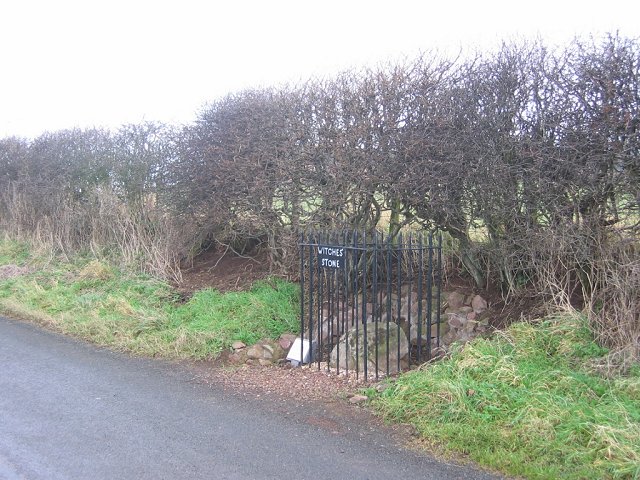
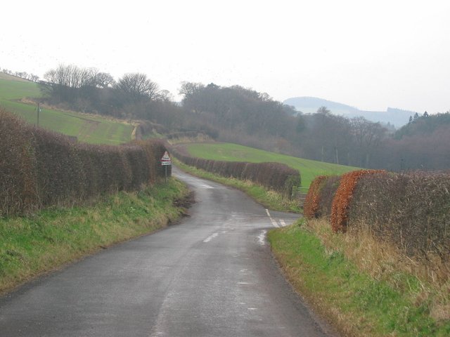
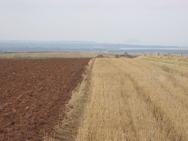
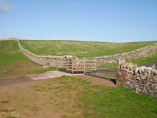
Burnhead Wood Images

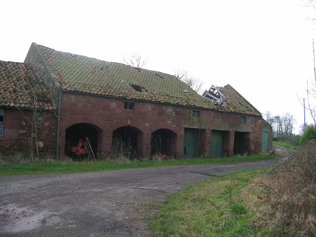
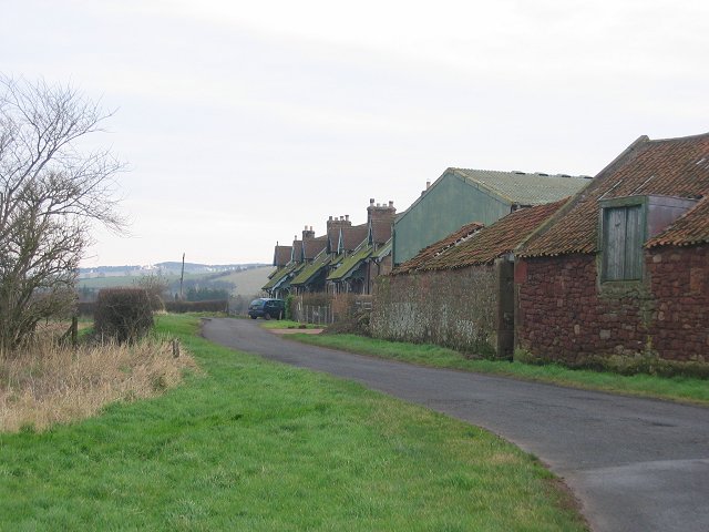
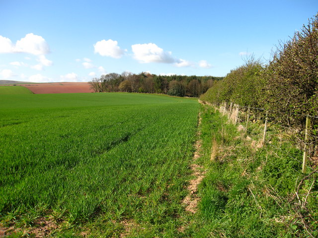
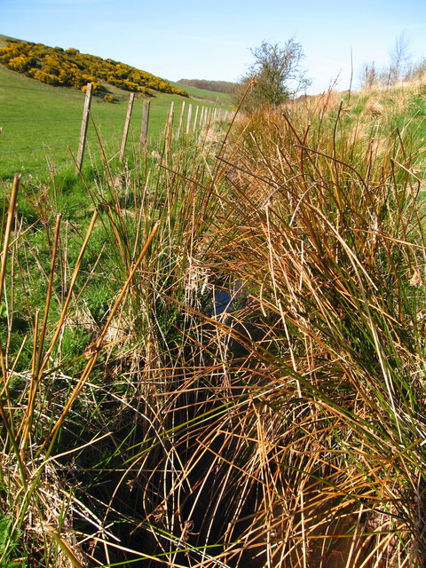
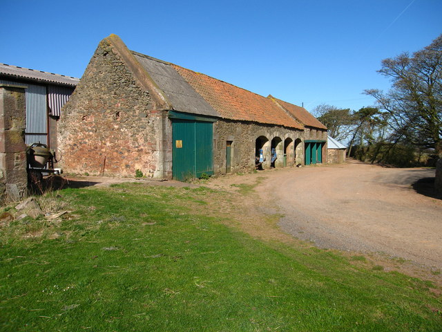
Images are sourced within 2km of 55.954399/-2.5513126 or Grid Reference NT6573. Thanks to Geograph Open Source API. All images are credited.

Newly planted stripwood, Spott
Ford between Spott and Halls
Ford between Spott and Little Spott
Newly planted field The trees are in the square to the north.
Newly planted field
The trees are in the square to the north.
A cleugh under the Brunt. Steep sided glen behind the Brunt. View W towards Deucharie Dod.
A cleugh under the Brunt.
Steep sided glen behind the Brunt. View W towards Deucharie Dod.
Witches Stone. Marion Lille was murdered here in 1698. Women were not safe in the Spott area until well into the 18th century. The court responsible sat near by. The stone was until recently neglected, but has now been given some protection. It still has some folkloric value, coins are left on it.
Witches Stone.
Marion Lille was murdered here in 1698. Women were not safe in the Spott area until well into the 18th century. The court responsible sat near by. The stone was until recently neglected, but has now been given some protection. It still has some folkloric value, coins are left on it.
Road near Spott. SW view from near the Witches Stone. The road to the right goes to the ford right on the edge of the square.
Road near Spott.
SW view from near the Witches Stone. The road to the right goes to the ford right on the edge of the square.
Brock Burn. Alders growing beside the burn, upstream of the ford.
Brock Burn.
Alders growing beside the burn, upstream of the ford.
Field  margin. Strip left unploughed as is often the practice now for wildlife/game reasons. View north towards the Bass Rock.
Field margin.
Strip left unploughed as is often the practice now for wildlife/game reasons. View north towards the Bass Rock.
Little Spott. Barn that has seen better days. Could still end up as a steading conversion.


---
2021
It did: <a href="https://www.geograph.org.uk/photo/6733908">NT6574 : Little Spott</a>
Little Spott.
Barn that has seen better days. Could still end up as a steading conversion. --- 2021 It did: NT6574 : Little Spott
Little Spott. View east along a small road (to Spott) beside the farm.
Little Spott.
View east along a small road (to Spott) beside the farm.
East End of Meiklerig Wood From Eweford, near Dunbar and Stenton.
East End of Meiklerig Wood
From Eweford, near Dunbar and Stenton.
Bennet's Burn, near Spott Drains Eastwards from Pressmennan Lake towards Spott Burn.
Bennet's Burn, near Spott
Drains Eastwards from Pressmennan Lake towards Spott Burn.
Pathhead Farm, near Stenton Farm buildings.
Pathhead Farm, near Stenton
Farm buildings.
Pathhead, near Stenton Small glen at Pathhead through which Cauld Burn flows. Lothian Edge in distance.
Pathhead, near Stenton
Small glen at Pathhead through which Cauld Burn flows. Lothian Edge in distance.
Gairy Burn at Halls, near Spott Halls is a hamlet of a few houses and a farm in East Lothian.
Gairy Burn at Halls, near Spott
Halls is a hamlet of a few houses and a farm in East Lothian.
Cottages at Halls, near Spott Halls is a hamlet of a few houses and a farm in East Lothian.
Cottages at Halls, near Spott
Halls is a hamlet of a few houses and a farm in East Lothian.
Herring Road, Hartside End of the tarred surface on the old trade route inland from Dunbar. From here it is 22 mostly moorland miles to Lauder.
Herring Road, Hartside
End of the tarred surface on the old trade route inland from Dunbar. From here it is 22 mostly moorland miles to Lauder.
Show me another place!

Burnhead Wood is located at Grid Ref: NT6573 (Lat: 55.954399, Lng: -2.5513126)

Unitary Authority: East Lothian

Police Authority: The Lothians and Scottish Borders

What 3 Words

///bricks.expectant.target. Near Dunbar, East Lothian

Related Wikis

Spott, East Lothian

Spott is a small village on the eastern fringes of East Lothian in Scotland, just over 2 miles (3.2 km) south-west of Dunbar. The village straddles an...

Pressmennan Lake

Pressmennan Lake is a lake in East Lothian in Scotland. It is an artificial reservoir constructed in 1819 by a Mr Nesbit who dammed the streams flowing...
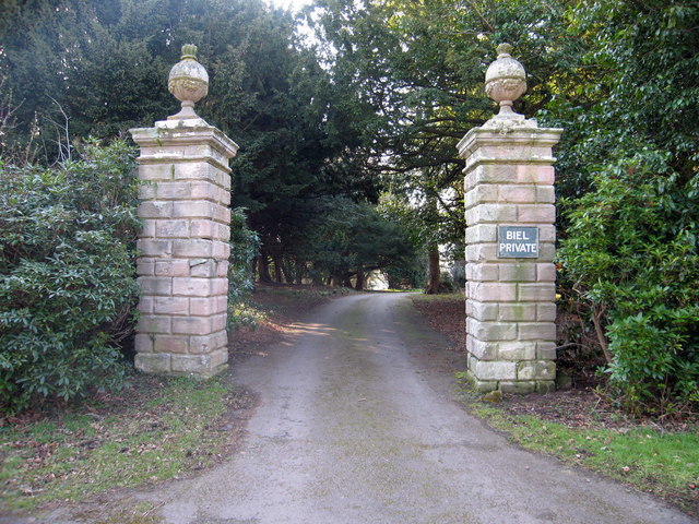
Biel, East Lothian

Biel is a village in East Lothian, Scotland, UK, to the south of Dunbar, off the B6370 road. It is situated on the Biel Estate, close to Biel House....

Battle of Dunbar (1296)

The Battle of Dunbar was the only significant field action of the campaign of 1296 during the beginning of the First War of Scottish Independence. ��2...

Nearby Amenities

Located within 500m of 55.954399,-2.5513126
Power: tower
Source: bing
Lat/Long: 55.9555208/-2.5521176
Ford: yes
Lat/Long: 55.9558083/-2.5551079
Power: tower
Source: bing
Lat/Long: 55.9550675/-2.5469977
Power: tower
Source: bing
Lat/Long: 55.9569019/-2.5534785
Burnhead
Tourism: chalet
Lat/Long: 55.955583/-2.5552321
The data included in this document is from www.openstreetmap.org. The data is made available under ODbL.

Have you been to Burnhead Wood?

Leave your review of Burnhead Wood below (or comments, questions and feedback).