Martinlee Plantation

Wood, Forest in Roxburghshire

Scotland

Martinlee Plantation

Ordnance Survey Flush Bracket 11414 This can be found on the wall of a cottage - a private dwelling - at Charlies Hill.
For more detail see : <span class="nowrap"><a title="http://www.bench-marks.org.uk/bm11884" rel="nofollow ugc noopener" href="http://www.bench-marks.org.uk/bm11884">Link</a><img style="margin-left:2px;" alt="External link" title="External link - shift click to open in new window" src="https://s1.geograph.org.uk/img/external.png" width="10" height="10"/></span>
Ordnance Survey Flush Bracket 11414 Credit: Peter Wood

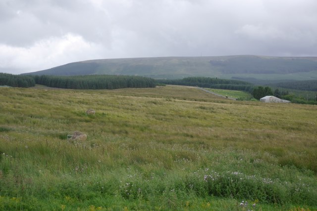
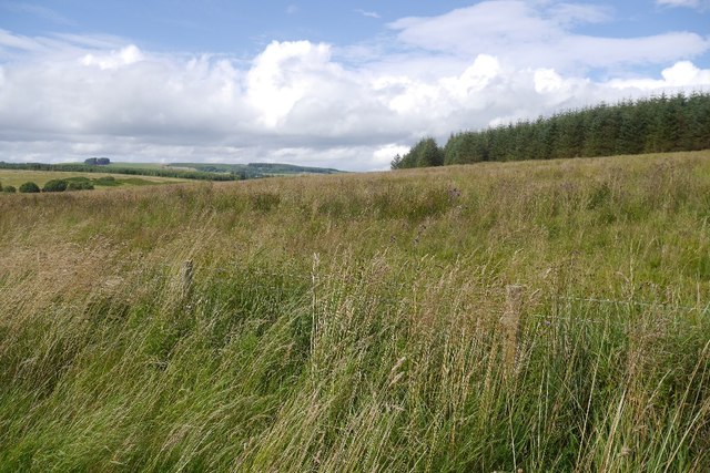
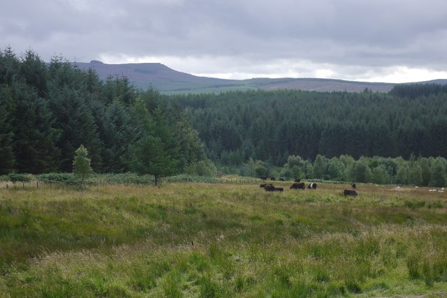
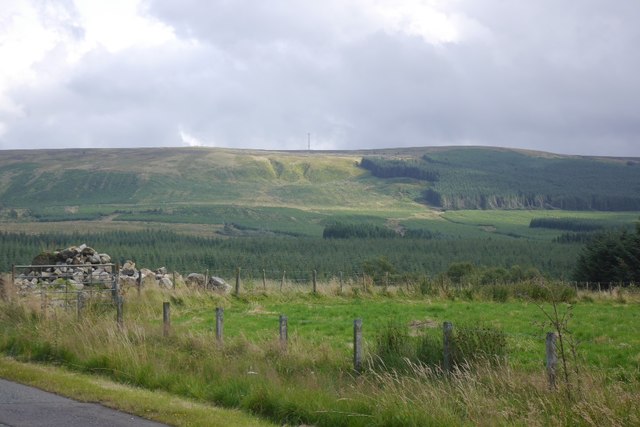
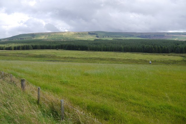
Martinlee Plantation is a vast woodland area located in the picturesque region of Roxburghshire, Scotland. Spanning over several hectares, it is renowned for its stunning natural beauty and diverse range of flora and fauna.

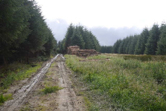
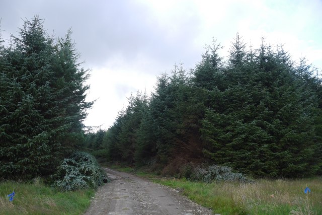
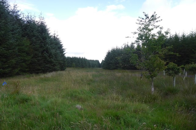
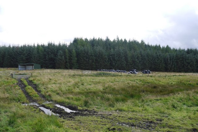
The plantation primarily consists of a mix of native tree species such as oak, birch, and pine, providing a rich and varied habitat for various wildlife species. The lush vegetation forms a dense canopy, creating an enchanting atmosphere within the woodland.

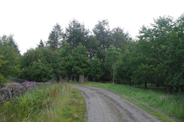
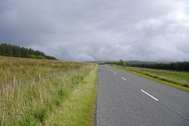
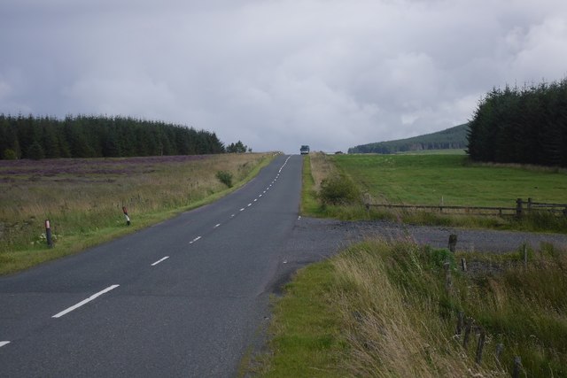
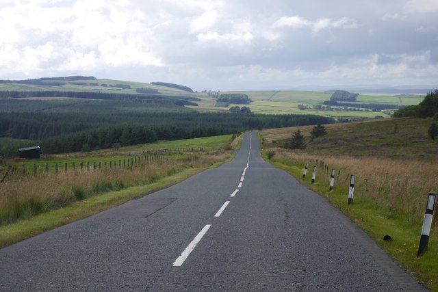
Visitors to Martinlee Plantation can enjoy a network of well-maintained trails that wind through the forest, offering a peaceful and serene setting for walking, hiking, and nature exploration. The trails are suitable for all levels of fitness and provide ample opportunities for birdwatching and wildlife spotting.

The woodland is home to a plethora of wildlife, including red squirrels, roe deer, and a variety of bird species, making it a popular destination for nature enthusiasts and photographers. The plantation also houses several bird feeders and nesting boxes, aiding in the conservation efforts of vulnerable species.

Martinlee Plantation is managed by a dedicated team of forestry professionals who prioritize sustainable practices and conservation. They actively work to maintain the health and vitality of the woodland through selective tree felling and replanting initiatives.

Overall, Martinlee Plantation in Roxburghshire offers visitors a chance to immerse themselves in the natural wonders of Scotland. With its breathtaking scenery, rich biodiversity, and well-maintained trails, it is a must-visit destination for anyone seeking tranquility and a connection with nature.

If you have any feedback on the listing, please let us know in the comments section below.

Martinlee Plantation Images

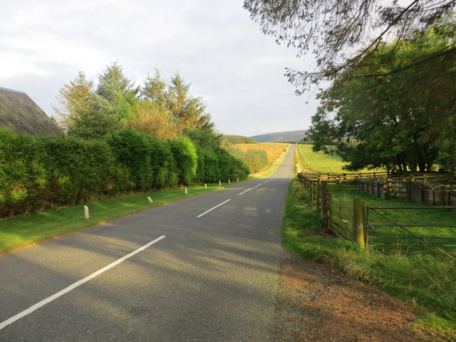
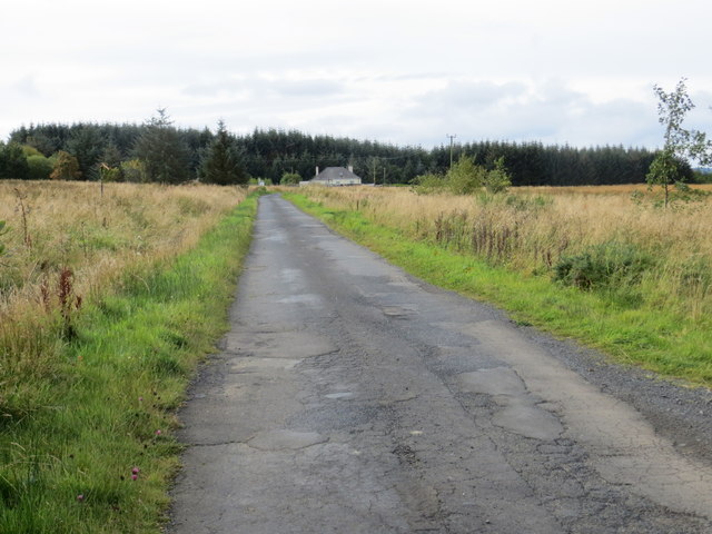
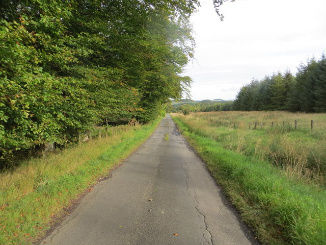
Images are sourced within 2km of 55.362833/-2.5430411 or Grid Reference NT6507. Thanks to Geograph Open Source API. All images are credited.

Ordnance Survey Flush Bracket 11414 This can be found on the wall of a cottage - a private dwelling - at Charlies Hill.
For more detail see : <span class="nowrap"><a title="http://www.bench-marks.org.uk/bm11884" rel="nofollow ugc noopener" href="http://www.bench-marks.org.uk/bm11884">Link</a><img style="margin-left:2px;" alt="External link" title="External link - shift click to open in new window" src="https://s1.geograph.org.uk/img/external.png" width="10" height="10"/></span>
Ordnance Survey Flush Bracket 11414
This can be found on the wall of a cottage - a private dwelling - at Charlies Hill. For more detail see : LinkExternal link
Road (A6088) at Charlies Hill Looking north-westward from cottage entrance.
Road (A6088) at Charlies Hill
Looking north-westward from cottage entrance.
Road to Fellside Looking south-westward.
Road to Fellside
Looking south-westward.
Country road from Fellside to Lethem Looking north-eastward.
Country road from Fellside to Lethem
Looking north-eastward.
Logging road, Waterside Thinning in progress in the woodlands south of the Jed Water. All through the struggle along the riverbank I could hear machinery at work somewhere in the forest and was worried about getting out along this road.  After a delay for a puncture repair I was able to get through with the work taking place in the trees to the left.

The road was rather muddy.
Logging road, Waterside
Thinning in progress in the woodlands south of the Jed Water. All through the struggle along the riverbank I could hear machinery at work somewhere in the forest and was worried about getting out along this road. After a delay for a puncture repair I was able to get through with the work taking place in the trees to the left. The road was rather muddy.
Road to Waterside Gate pillars on a forest road. It leads to a wooden building beside the Gala Water.
Road to Waterside
Gate pillars on a forest road. It leads to a wooden building beside the Gala Water.
Road from Waterside A forest road with evidence of recent thinning.
Road from Waterside
A forest road with evidence of recent thinning.
Unplanted strip A very wide ride, left unplanted in the conifer plantations to the north of Waterside.
Unplanted strip
A very wide ride, left unplanted in the conifer plantations to the north of Waterside.
Track near Southdean The newly surfaced track links the A6088 with the forest road within the plantations around the Jed Water.
Track near Southdean
The newly surfaced track links the A6088 with the forest road within the plantations around the Jed Water.
Rough grazing, Charlie's Hill View towards Carter Fell.
Rough grazing, Charlie's Hill
View towards Carter Fell.
Steele Knowe Some very rough grassland between the plantations and road.
Steele Knowe
Some very rough grassland between the plantations and road.
A6088, Steele Knowe A quiet road which links Hawick and Carter Bar.
A6088, Steele Knowe
A quiet road which links Hawick and Carter Bar.
Rough grazing Although mapped as forest, there is a wide strip of grassland between Wauchope Forest and the A6088. At the time it was grazed by belted Galloway cattle.
Rough grazing
Although mapped as forest, there is a wide strip of grassland between Wauchope Forest and the A6088. At the time it was grazed by belted Galloway cattle.
Belted Galloway cattle A herd of belties beside Wauchope Forest with the Cheviot hills in the background.
Belted Galloway cattle
A herd of belties beside Wauchope Forest with the Cheviot hills in the background.
A6088 A road links Hawick with the A68 on Carter Bar. The road on the right is a logging road into Wauchope Forest.
A6088
A road links Hawick with the A68 on Carter Bar. The road on the right is a logging road into Wauchope Forest.
A6088 Westward (i.e. towards Bonchester Bridge and Hawick) view along the road.
A6088
Westward (i.e. towards Bonchester Bridge and Hawick) view along the road.
Wauchope Forest A view from the A6088 towards Carter Fell, across vast conifer plantations.
Wauchope Forest
A view from the A6088 towards Carter Fell, across vast conifer plantations.
Rough grazing Mapped as conifer woodland, this is a biggish area of rough grazing between Wauchope Forest and the A6088.
Rough grazing
Mapped as conifer woodland, this is a biggish area of rough grazing between Wauchope Forest and the A6088.
Show me another place!

Martinlee Plantation is located at Grid Ref: NT6507 (Lat: 55.362833, Lng: -2.5430411)

Unitary Authority: The Scottish Borders

Police Authority: The Lothians and Scottish Borders

What 3 Words

///weekday.steps.subsystem. Near Jedburgh, Scottish Borders

Nearby Locations

Martinlee Plantation

Related Wikis

Southdean

Southdean is a hamlet in the Scottish Borders area of Scotland, on the A6088, by the Jed Water and in the Wauchope Forest area. Other settlements nearby...

Scottish Borders

The Scottish Borders (Scots: the Mairches, lit. 'the Marches'; Scottish Gaelic: Crìochan na h-Alba) is one of 32 council areas of Scotland. It is bordered...

Carter Bar

Carter Bar is a pass in the Cheviot Hills, on the Anglo-Scottish border. It lies east of Carter Fell at the head of Redesdale, and is crossed by the A68...

Raid of the Redeswire

The Raid of the Redeswire, also known as the Redeswire Fray, was a border skirmish between England and Scotland on 7 July 1575 which took place at Carter...

Have you been to Martinlee Plantation?

Leave your review of Martinlee Plantation below (or comments, questions and feedback).