Droich Wood

Wood, Forest in Kincardineshire

Scotland

Droich Wood

Layby or parking area or bypass A small road that seems to be a place to park up in Fettercarin.
Layby or parking area or bypass Credit: Ralph Greig

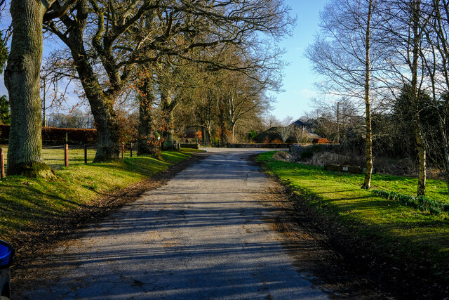
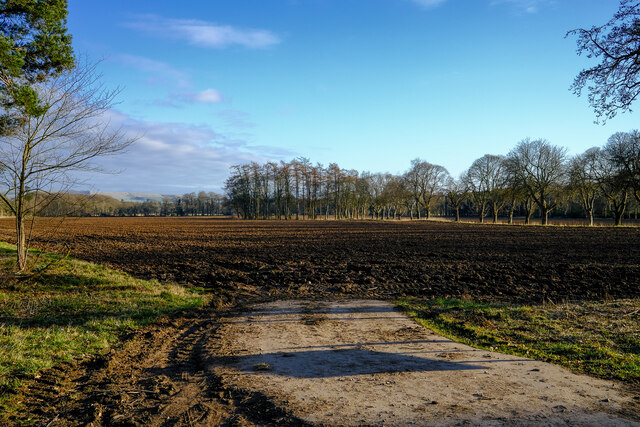
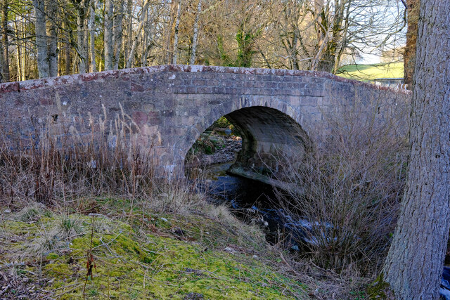
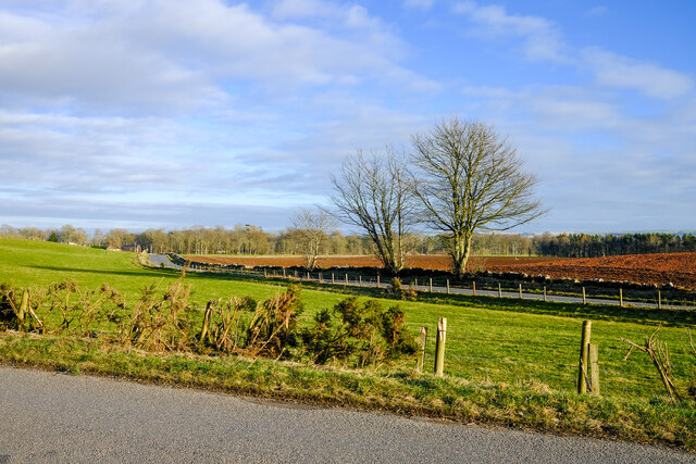
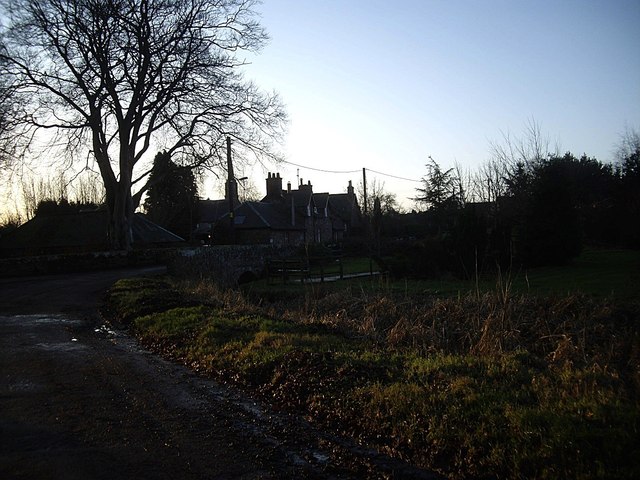
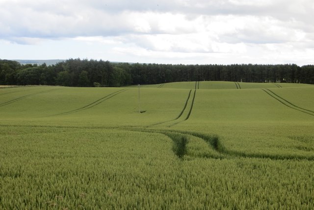
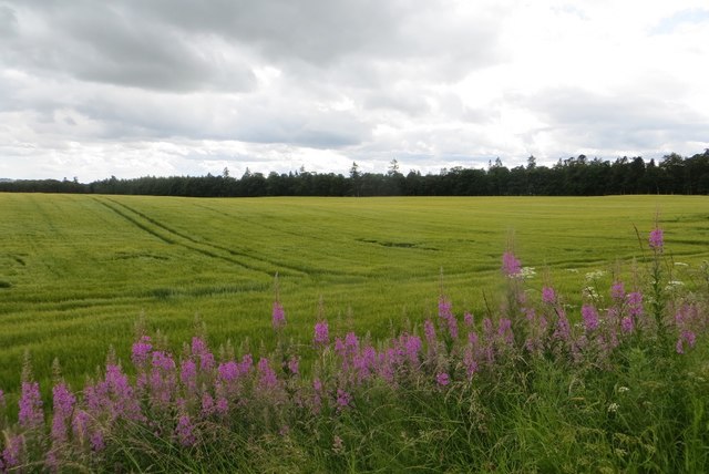
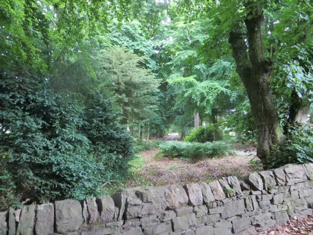
Droich Wood, located in the picturesque region of Kincardineshire in Scotland, is a stunning forest that captivates visitors with its natural beauty and abundant wildlife. Spanning across a vast area, this wood is known for its diverse range of flora and fauna, making it a haven for nature enthusiasts and hikers alike.

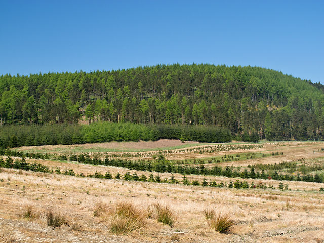
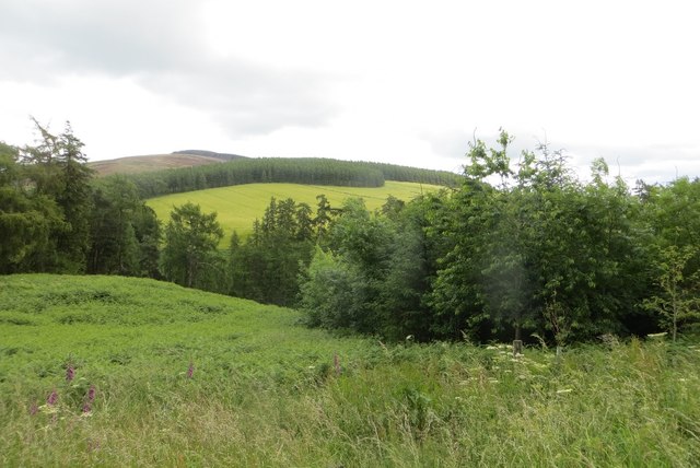
The wood is predominantly composed of deciduous trees, including oak, birch, and rowan, which provide a vibrant display of colors during autumn. These towering trees create a dense canopy that casts dappled sunlight onto the forest floor, creating a serene and tranquil atmosphere.

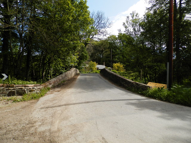
As visitors venture deeper into Droich Wood, they will encounter a network of well-maintained trails that meander through the forest. These paths offer a variety of routes, catering to different fitness levels and preferences, allowing visitors to explore the wood at their own pace.

Wildlife thrives within Droich Wood, and lucky visitors may spot red squirrels, roe deer, and a variety of bird species, including woodpeckers and owls. The wood is also home to a diverse range of plant life, with wildflowers and ferns adding bursts of color to the forest floor.

For those interested in the historical aspect, Droich Wood is steeped in folklore and legends. Local tales speak of ancient rituals and mystical creatures that once inhabited the wood, adding an element of intrigue to the overall experience.

Droich Wood, with its enchanting beauty and rich biodiversity, offers a peaceful retreat from the bustling city life, allowing visitors to reconnect with nature and experience the wonders of the Scottish wilderness.

If you have any feedback on the listing, please let us know in the comments section below.
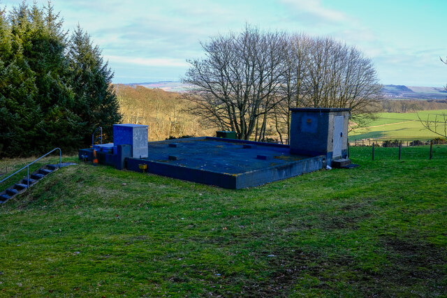
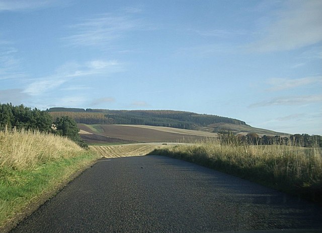
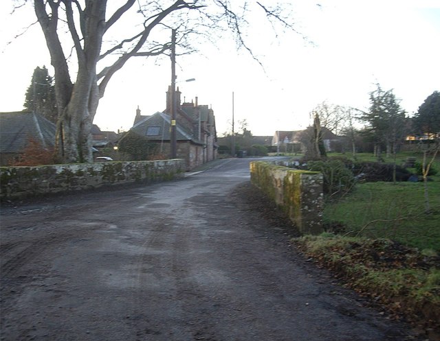
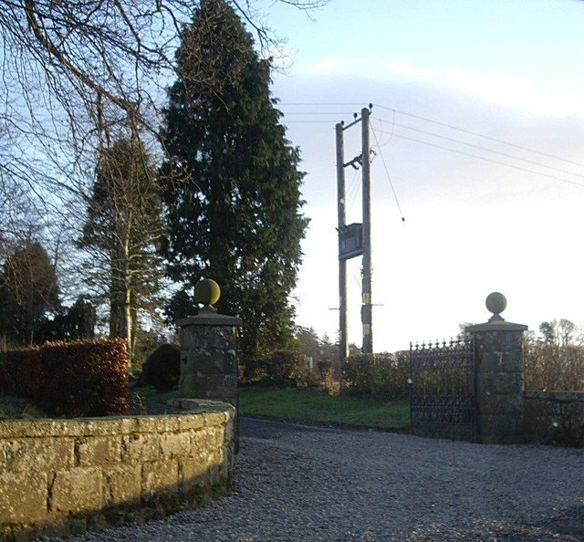
Droich Wood Images

Images are sourced within 2km of 56.871129/-2.5701338 or Grid Reference NO6575. Thanks to Geograph Open Source API. All images are credited.

Layby or parking area or bypass A small road that seems to be a place to park up in Fettercarin.
Layby or parking area or bypass
A small road that seems to be a place to park up in Fettercarin.
Ready to sow fields A field already for this years crops
Ready to sow fields
A field already for this years crops
Craigmoston Bridge The bridge over the Craigmoston Burn
Craigmoston Bridge
The bridge over the Craigmoston Burn
Two roads and a field Just a simple roadside view of this square
Two roads and a field
Just a simple roadside view of this square
Covered reservoir On hunters hill
Covered reservoir
On hunters hill
B974 by Bank of Gallowhillston On road between Fettercairn and Banchory.
B974 by Bank of Gallowhillston
On road between Fettercairn and Banchory.
Bridge in Fettercairn On the old road south from Cairn O'Mounth.
Bridge in Fettercairn
On the old road south from Cairn O'Mounth.
Gated entrance to Fettercairn House estate
The old road into Fettercairn From the north.
The old road into Fettercairn
From the north.
Brunt Hill Agricultural land on the lower slopes of Brunt Hill, with Garrol Wood visible in the distance.
Brunt Hill
Agricultural land on the lower slopes of Brunt Hill, with Garrol Wood visible in the distance.
Craigmoston Bridge
Craigmoston Bridge
Mill of Kincardine From a minor link road between B966 and B974.
Mill of Kincardine
From a minor link road between B966 and B974.
Terraced rural cottages Off minor road close to Kincardine Castle.
Terraced rural cottages
Off minor road close to Kincardine Castle.
A copse containing the remains of Kincardine Castle Off the track to Castleton farm.
A copse containing the remains of Kincardine Castle
Off the track to Castleton farm.
Above the Devilly Burn View towards Strathfinella Hill from the B974.
Above the Devilly Burn
View towards Strathfinella Hill from the B974.
Wheat field, Boghall Near Fettercairn, Kincardineshire.
Wheat field, Boghall
Near Fettercairn, Kincardineshire.
Barley, Craigmoston Arable land near Fettercairn.
Barley, Craigmoston
Arable land near Fettercairn.
Road to Fettercairn House Within a strip wood.
Road to Fettercairn House
Within a strip wood.
Show me another place!

Droich Wood is located at Grid Ref: NO6575 (Lat: 56.871129, Lng: -2.5701338)

Unitary Authority: Aberdeenshire

Police Authority: North East

What 3 Words

///anchovies.steadily.castle. Near Laurencekirk, Aberdeenshire

Nearby Locations

Droich Wood Old Mains Belt

Related Wikis

Fasque House

Fasque, also known as Fasque House or Fasque Castle, is a mansion in Aberdeenshire, Scotland, situated near the village of Fettercairn, in the former county...

Kincardine, Aberdeenshire

Kincardine was a burgh in Scotland, near the present-day village of Fettercairn. It served as the first county town of Kincardineshire. The settlement...

Fettercairn distillery

Fettercairn distillery is a whisky distillery in Fettercairn. Situated under the Grampian foothills in the Howe of Mearns, Fettercairn town’s name is...

Fettercairn

Fettercairn (, Scottish Gaelic: Fothair Chàrdain) is a small village in Aberdeenshire, Scotland, northwest of Laurencekirk in Aberdeenshire on the B966...

Nearby Amenities

Located within 500m of 56.871129,-2.5701338
Barrier: lift_gate
Lat/Long: 56.8678215/-2.5699962
Bogendollo
Place: locality
Lat/Long: 56.8754331/-2.5698863
Power: pole
Lat/Long: 56.866942/-2.5729159
Power: pole
Lat/Long: 56.8672125/-2.572263
Power: pole
Lat/Long: 56.8675302/-2.5715048
Power: pole
Lat/Long: 56.8677858/-2.570753
Power: pole
Lat/Long: 56.8679913/-2.5701538
Power: pole
Lat/Long: 56.8682111/-2.5693261
Power: pole
Lat/Long: 56.868553/-2.5680456
Power: pole
Lat/Long: 56.8686198/-2.5668135
Power: pole
Lat/Long: 56.8686739/-2.5658784
Power: pole
Lat/Long: 56.868728/-2.5649074
Power: pole
Lat/Long: 56.8687855/-2.5639302
Power: pole
Lat/Long: 56.8669109/-2.5707193
Power: pole
Lat/Long: 56.8680643/-2.572143
Power: pole
Lat/Long: 56.8686549/-2.5728485
Power: pole
Lat/Long: 56.8692396/-2.5735288
Power: pole
Lat/Long: 56.8698382/-2.5742049
Power: pole
Lat/Long: 56.8704091/-2.5748788
Power: pole
Lat/Long: 56.8709916/-2.5755675
Power: pole
Lat/Long: 56.8713806/-2.5765721
Power: pole
Lat/Long: 56.8718272/-2.5777452
Power: pole
Lat/Long: 56.8688719/-2.5668451
Power: pole
Lat/Long: 56.8694221/-2.5669251
Power: pole
Lat/Long: 56.8700932/-2.5670093
Power: pole
Lat/Long: 56.8707734/-2.567102
Power: pole
Lat/Long: 56.8714215/-2.5671905
Power: pole
Lat/Long: 56.872195/-2.5672916
Power: pole
Lat/Long: 56.8752726/-2.569503
Power: pole
Lat/Long: 56.8754786/-2.5686037
Power: pole
Lat/Long: 56.8727992/-2.566666
Power: pole
Lat/Long: 56.8732332/-2.5662406
Power: pole
Lat/Long: 56.8738225/-2.5656678
Power: pole
Lat/Long: 56.8744256/-2.565057
The data included in this document is from www.openstreetmap.org. The data is made available under ODbL.

Have you been to Droich Wood?

Leave your review of Droich Wood below (or comments, questions and feedback).