Dalhaikie Flat

Wood, Forest in Aberdeenshire

Scotland

Dalhaikie Flat

Minor road near Glassel
Minor road near Glassel Credit: Steven Brown

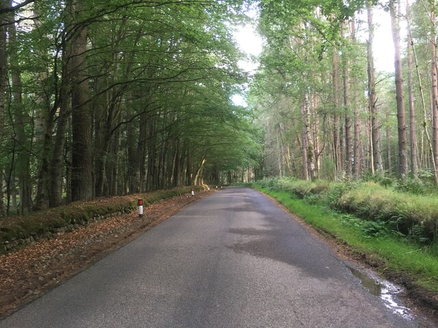
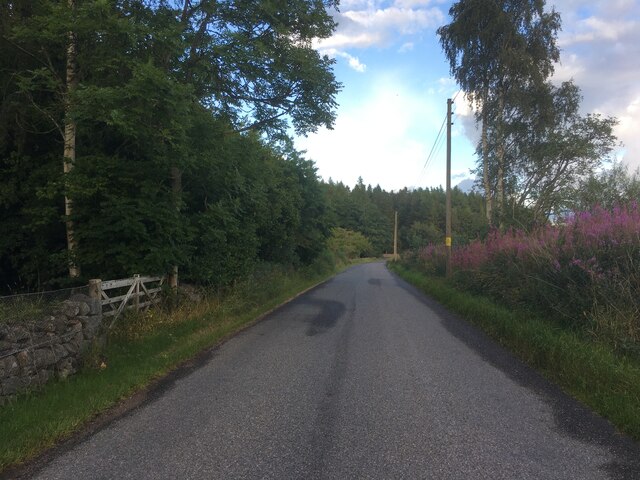
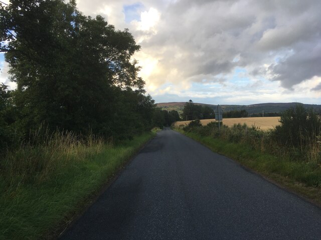
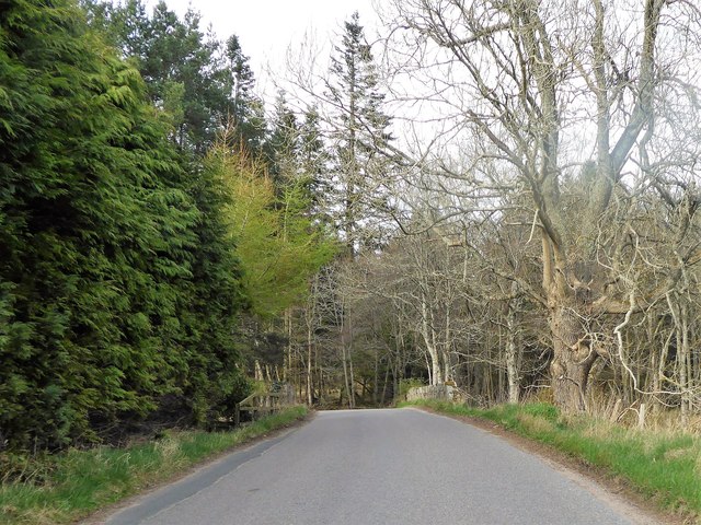
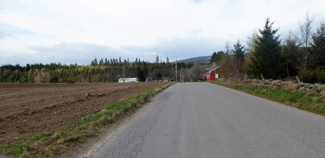
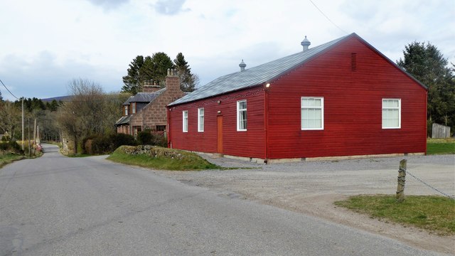
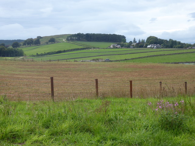
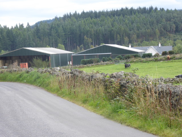
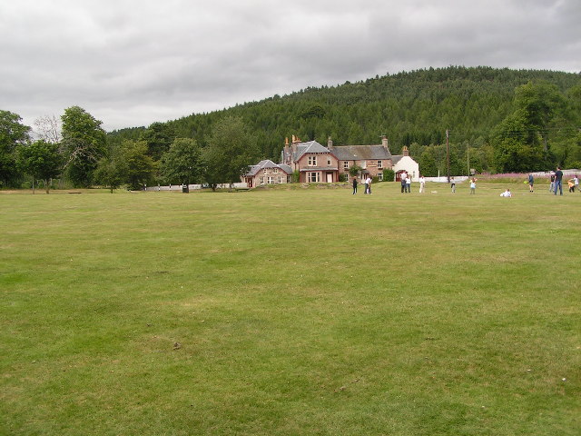
Dalhaikie Flat is a picturesque woodland area located in Aberdeenshire, Scotland. Situated near the village of Wood, this forested region covers an expansive area of approximately 500 acres. Known for its natural beauty and tranquil atmosphere, Dalhaikie Flat offers visitors a serene escape from the hustle and bustle of everyday life.

The flat is predominantly covered by a diverse mix of native tree species, including oak, birch, and pine. The dense canopy provides ample shade, creating a cool and inviting environment even during the warm summer months. The forest floor is adorned with a rich carpet of wildflowers and ferns, offering a vibrant burst of color to the landscape.

The flat is crisscrossed by a network of well-maintained walking trails, making it an ideal destination for outdoor enthusiasts and nature lovers. These trails wind through the woodland, allowing visitors to explore the area at their own pace. Along the way, one can encounter various wildlife species, such as red squirrels, deer, and a wide array of birdlife.

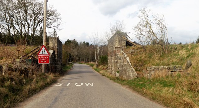
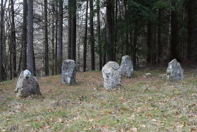
Dalhaikie Flat is not only a haven for flora and fauna but also boasts historical significance. The area was once part of a larger estate and has remnants of old stone walls and pathways, providing a glimpse into the past. It is not uncommon for visitors to stumble upon ancient ruins or archaeological sites, adding an element of intrigue to their woodland adventure.

Overall, Dalhaikie Flat in Aberdeenshire is a captivating woodland retreat offering a harmonious blend of nature, history, and tranquility. Whether it's for a leisurely stroll, birdwatching, or simply enjoying the serenity of the forest, this enchanting destination has something to offer for everyone.

If you have any feedback on the listing, please let us know in the comments section below.

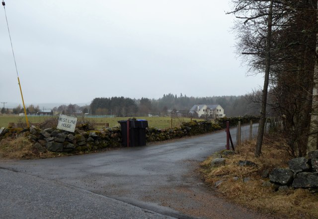
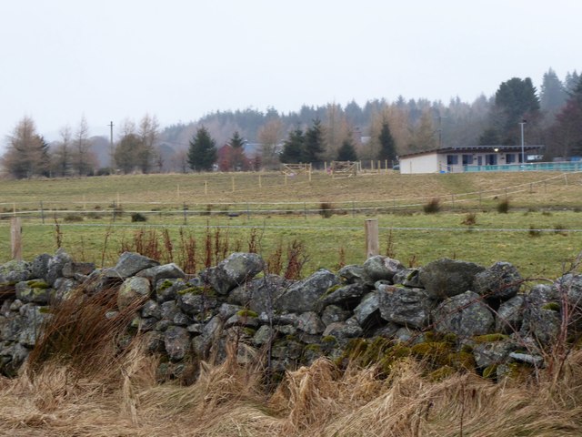
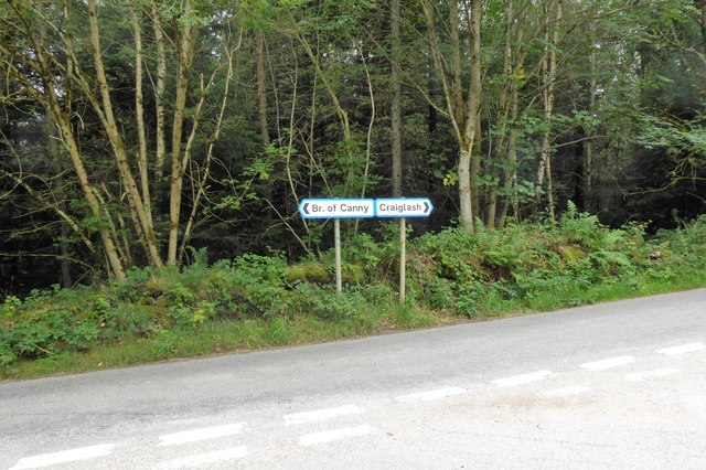
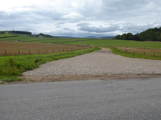
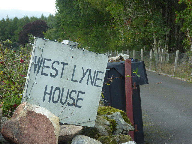
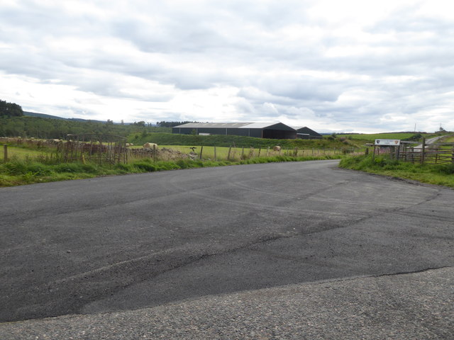
Dalhaikie Flat Images

Images are sourced within 2km of 57.071534/-2.5871249 or Grid Reference NO6497. Thanks to Geograph Open Source API. All images are credited.

Minor road near Glassel
Minor road near Pittenkerrie
Minor road near Brathens
Glassel village hall (2015) By a minor road between Torphins and Banchory. Weatherboarding a vibrant colour in this afternoon sunshine.
Glassel village hall (2015)
By a minor road between Torphins and Banchory. Weatherboarding a vibrant colour in this afternoon sunshine.
Bridge over Beltie Burn On a minor road at Glassel; Bogarn Wood ahead.
Bridge over Beltie Burn
On a minor road at Glassel; Bogarn Wood ahead.
Dismantled Railway Bridge over minor road At Glassel; the 'road narrows' warning sign is for a blind hump-back stone bridge over the Beltie Burn a short distance ahead.
Dismantled Railway Bridge over minor road
At Glassel; the 'road narrows' warning sign is for a blind hump-back stone bridge over the Beltie Burn a short distance ahead.
Approach to Glassel village hall From near a minor road junction to its south.
Approach to Glassel village hall
From near a minor road junction to its south.
Glassel Village Hall (2017) Not much changed since 2015 (cf <a href="https://www.geograph.org.uk/photo/4628866">NO6599 : Glassel village hall (2015)</a>)
Glassel Village Hall (2017)
Not much changed since 2015 (cf NO6599 : Glassel village hall (2015))
Access to West Lyne House This 'new build' now has a name.
Access to West Lyne House
This 'new build' now has a name.
Stables and paddock, Glassel
Signpost at junction near Sunnyview Seen as arriving from Glassel. 
The present unclassified Bridge of Canny to Craiglash road was part of the route of the original North Deeside road between Kincardine O'Neil and Banchory, but long since superseded by the A93 trunk road close by to the south. (Craiglash is currently the site of a working granite quarry).
Signpost at junction near Sunnyview
Seen as arriving from Glassel. The present unclassified Bridge of Canny to Craiglash road was part of the route of the original North Deeside road between Kincardine O'Neil and Banchory, but long since superseded by the A93 trunk road close by to the south. (Craiglash is currently the site of a working granite quarry).
A new road in preparation From Glassel Village Hall towards Mains of Easter Beltie (on Hill of Beltie: top left). Track not yet mapped.
A new road in preparation
From Glassel Village Hall towards Mains of Easter Beltie (on Hill of Beltie: top left). Track not yet mapped.
View to Hill of Beltie summit (195m asl) From minor road near Glassel Village Hall.
View to Hill of Beltie summit (195m asl)
From minor road near Glassel Village Hall.
Name sign for West Lyne House A relatively new build on the disused Deeside Railway track.
Name sign for West Lyne House
A relatively new build on the disused Deeside Railway track.
Farm buildings near Pittenkerrie Seen from the minor road between Glassel and West Brathens.
Farm buildings near Pittenkerrie
Seen from the minor road between Glassel and West Brathens.
Generously up-graded access to Pittenkerrie farm From the minor road past Woodend of Glassel.
Generously up-graded access to Pittenkerrie farm
From the minor road past Woodend of Glassel.
Old Milestone by the A93, Bridge of Canny, Banchory parish Aberdeen granite by the A93, in parish of Banchory (Aberdeen District), Bridge of Canny, on verge in woods.

Inscription reads:-
21
(To Aberdeen)

Surveyed

Milestone Society National ID: AD_ADBM21
Old Milestone by the A93, Bridge of Canny, Banchory parish
Aberdeen granite by the A93, in parish of Banchory (Aberdeen District), Bridge of Canny, on verge in woods. Inscription reads:- 21 (To Aberdeen) Surveyed Milestone Society National ID: AD_ADBM21
Glassel stone circle You have to battle through a conifer plantation with numerous fallen trees to find this charming small 'circle', which is thought to be 'transitional' between recumbent circles and later 'four-poster' circles.  See the Canmore listing 36195 for much more: <span class="nowrap"><a title="https://canmore.org.uk/site/36195/glassel" rel="nofollow ugc noopener" href="https://canmore.org.uk/site/36195/glassel">Link</a><img style="margin-left:2px;" alt="External link" title="External link - shift click to open in new window" src="https://s1.geograph.org.uk/img/external.png" width="10" height="10"/></span> .
Glassel stone circle
You have to battle through a conifer plantation with numerous fallen trees to find this charming small 'circle', which is thought to be 'transitional' between recumbent circles and later 'four-poster' circles. See the Canmore listing 36195 for much more: LinkExternal link .
Show me another place!

Dalhaikie Flat is located at Grid Ref: NO6497 (Lat: 57.071534, Lng: -2.5871249)

Unitary Authority: Aberdeenshire

Police Authority: North East

What 3 Words

///pelted.unlucky.shipyards. Near Torphins, Aberdeenshire

Nearby Locations

Dalhaikie Flat

Related Wikis

Glassel railway station

Glassel railway station is a disused railway station in Britain. It served Glassel House, the Mill of Beltie and the local farms and the inhabitants of...

Beltie Burn

The Beltie Burn is a burn in Aberdeenshire, Scotland, which below Torphins and Glassel is known as the Burn of Canny. It begins in the hill of Benaquhallie...

Brathens

Brathens is a village in Aberdeenshire, Scotland. == References ==

Potarch

Potarch ( pot-ARKH) is a hamlet in Aberdeenshire, Scotland, with a bridge across the River Dee.It is a popular location with tourists and day-trippers...

Dinnie Stones

The Dinnie Stones (also called Stanes or Steens) are a pair of Scottish lifting stones located in Potarch, Aberdeenshire. They were made famous by strongman...

Mounth

The Mounth ( MUNTH) is the broad upland in northeast Scotland between the Highland Boundary and the River Dee, at the eastern end of the Grampians....

Glen o' Dee Hospital

Glen o' Dee Hospital is situated in the west end of Banchory, Aberdeenshire, Scotland. It is a small community hospital that provides services for the...

Torphins

Torphins ( tor-FINZ; Scottish Gaelic: Tòrr Fionn) is a village in Royal Deeside, Aberdeenshire, Scotland which lies about 22 miles (35 km) west of Aberdeen...

Nearby Amenities

Located within 500m of 57.071534,-2.5871249
Power: pole
Lat/Long: 57.0680701/-2.5828402
Power: pole
Lat/Long: 57.0752454/-2.5834827
Power: pole
Lat/Long: 57.0706457/-2.5938479
Power: pole
Lat/Long: 57.070877/-2.5939365
Power: pole
Lat/Long: 57.0713418/-2.5937659
Power: pole
Lat/Long: 57.0717874/-2.5935931
Power: pole
Lat/Long: 57.0722583/-2.5934203
Power: pole
Lat/Long: 57.0727942/-2.5932209
Power: pole
Lat/Long: 57.0731049/-2.5931212
Power: pole
Lat/Long: 57.0734204/-2.5930215
Power: pole
Lat/Long: 57.0737492/-2.5929151
Power: pole
Lat/Long: 57.0742261/-2.5927534
Power: pole
Lat/Long: 57.0748703/-2.5925585
Power: pole
Lat/Long: 57.0742056/-2.593613
Power: pole
Lat/Long: 57.0741671/-2.5929041
The data included in this document is from www.openstreetmap.org. The data is made available under ODbL.

Have you been to Dalhaikie Flat?

Leave your review of Dalhaikie Flat below (or comments, questions and feedback).