Corrybeg Wood
Wood, Forest in Aberdeenshire
Scotland
Corrybeg Wood
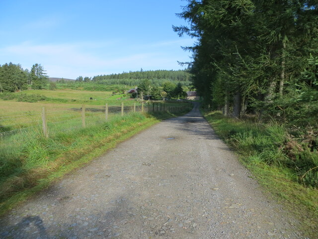
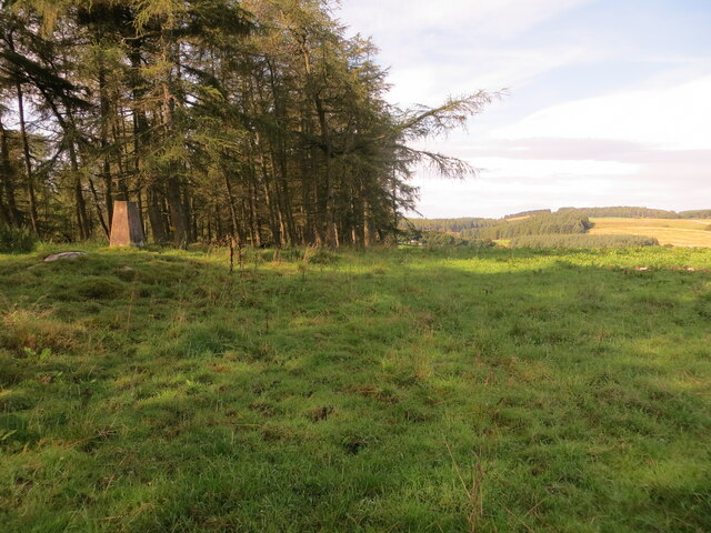
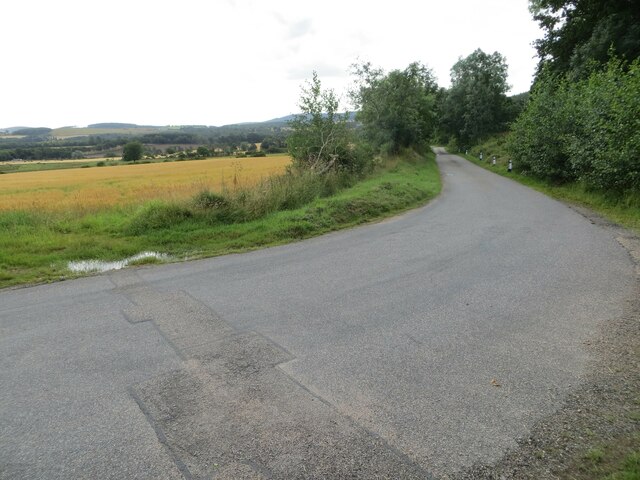
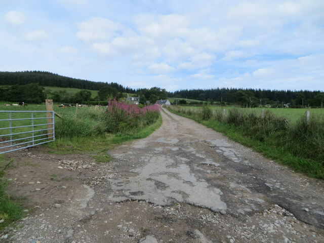
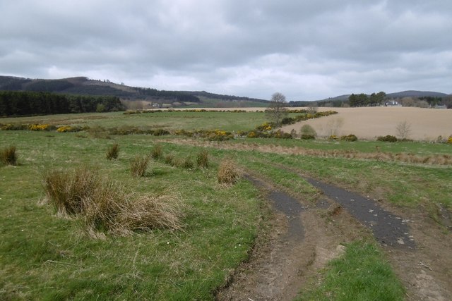
Corrybeg Wood is a picturesque forest located in Aberdeenshire, Scotland. Covering an area of approximately 100 hectares, it is a popular destination for nature enthusiasts and outdoor recreational activities. The wood is situated near the village of Tarland, about 30 miles west of Aberdeen.
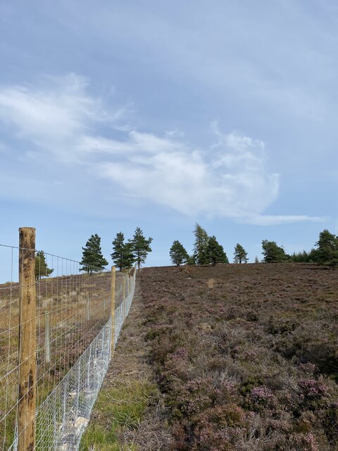
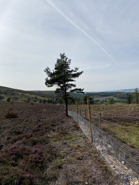
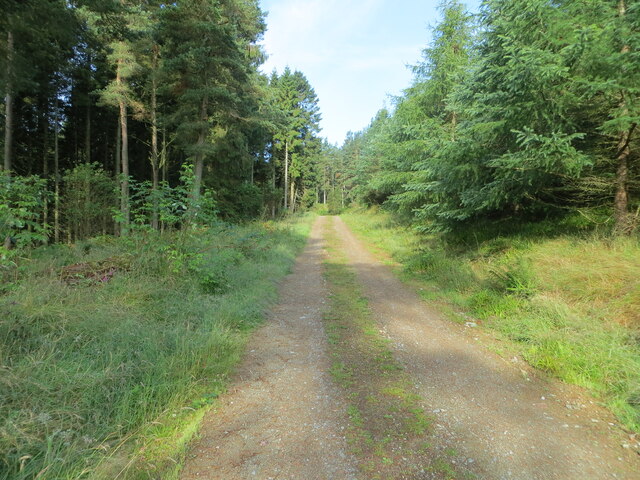
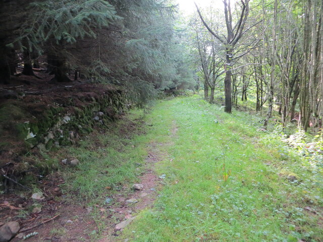
The woodland consists mainly of coniferous trees, such as Scots pine and Sitka spruce, which provide a dense canopy and create a tranquil and peaceful environment. The forest floor is carpeted with a variety of native plants, including bluebells, wood sorrel, and wild garlic, adding to the beauty and biodiversity of the area.
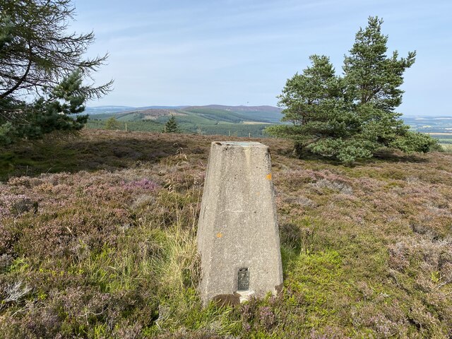
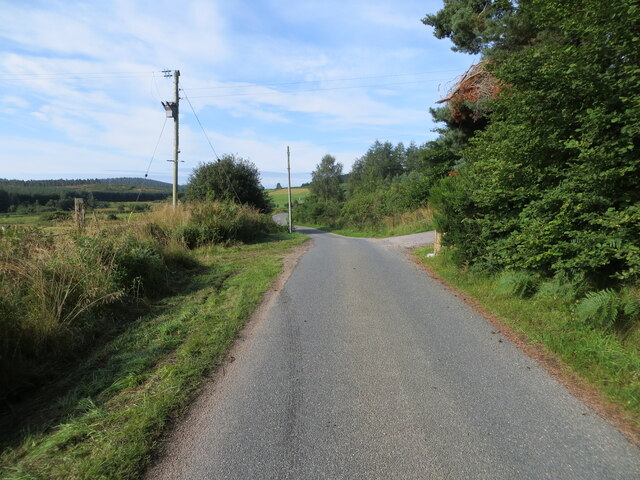
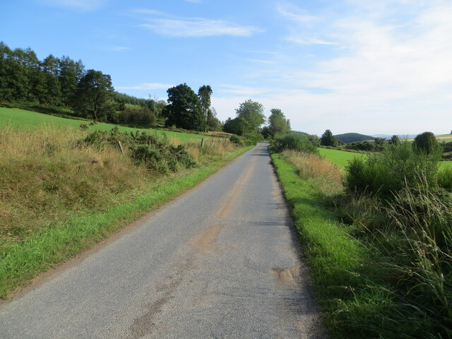
Corrybeg Wood offers a network of well-maintained paths and trails, making it ideal for walking, hiking, and cycling. Visitors can explore the different routes, ranging from gentle strolls to more challenging hikes, and immerse themselves in the natural surroundings. The forest also provides opportunities for wildlife spotting, with the possibility of encountering red squirrels, roe deer, and a variety of bird species.
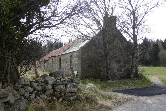
In addition to its natural attractions, Corrybeg Wood has several amenities to enhance visitors' experience. There are picnic areas and benches strategically placed throughout the forest, allowing visitors to relax and enjoy the peaceful ambiance. The wood also has a car park and toilet facilities, ensuring convenience for those who wish to spend a longer period exploring the area.
Overall, Corrybeg Wood is a beautiful and accessible forest, offering a diverse range of activities for nature lovers and outdoor enthusiasts. Its stunning scenery, well-maintained trails, and abundant wildlife make it a must-visit destination in Aberdeenshire.
If you have any feedback on the listing, please let us know in the comments section below.
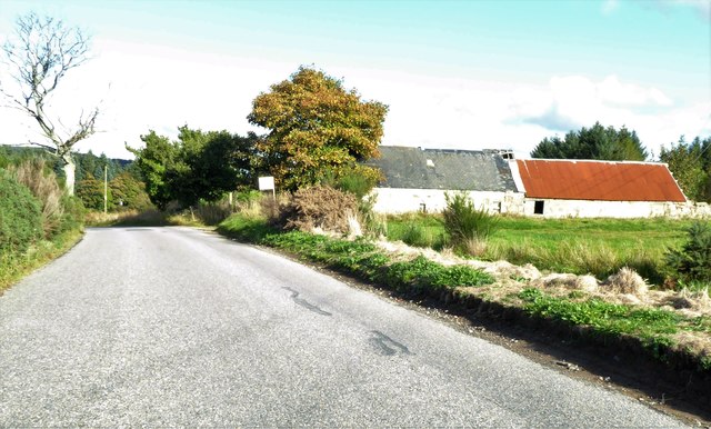
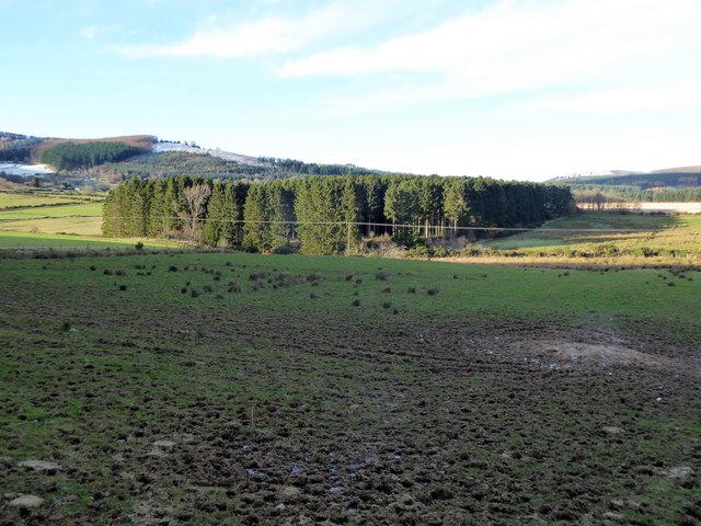
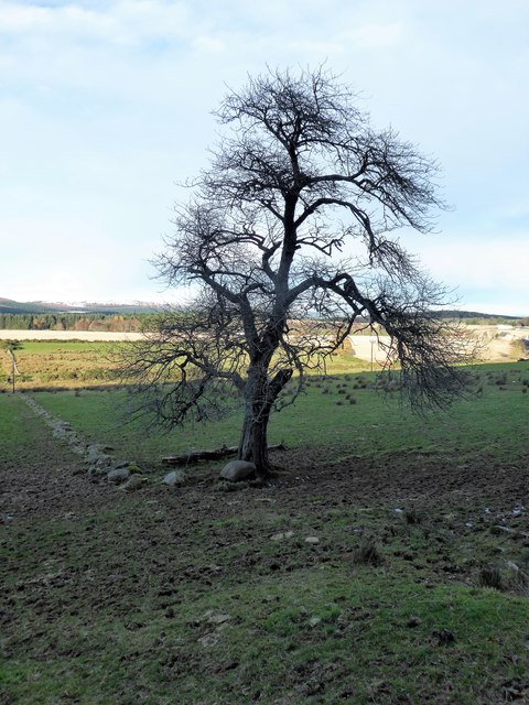
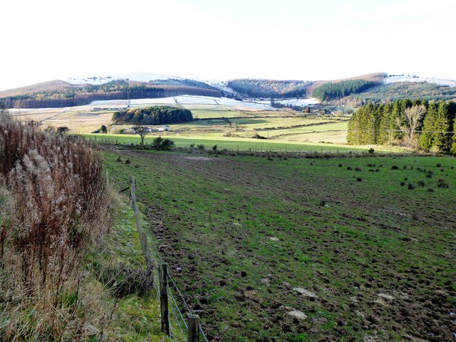
Corrybeg Wood Images
Images are sourced within 2km of 57.172749/-2.5887292 or Grid Reference NJ6409. Thanks to Geograph Open Source API. All images are credited.
Corrybeg Wood is located at Grid Ref: NJ6409 (Lat: 57.172749, Lng: -2.5887292)
Unitary Authority: Aberdeenshire
Police Authority: North East
What 3 Words
///palettes.seasick.instincts. Near Sauchen, Aberdeenshire
Nearby Locations
Related Wikis

Tillyfourie
Tillyfourie is a hamlet in Aberdeenshire, Scotland. It is situated at the junction between the A944 road and the B993 road. A disused quarry and a stone...

Tillycairn Castle
Tillycairn Castle is an L-plan castle, dating from the 16th century, standing on high ground around 2.0 miles (3.2 km) south-east of Cluny in Aberdeenshire...

A944 road
The A944 road connects Aberdeen with Strathdon in north-east Scotland. == Route == It originates at the Lang Stracht in the city, which is a re-routing...
Tillyfourie railway station
Tillyfourie railway station was a railway station serving Tillyfourie, Aberdeenshire, Scotland. The station opened on 2 June 1860 on the Alford Valley...
Corsindae House
Corsindae House is a 16th-century castle, originally L-plan, about 8 miles (13 km) north of Banchory, Aberdeenshire, Scotland, and 1 mile (1.6 km) north...

Tornaveen
Tornaveen (Scottish Gaelic: Tòrr nam Fiann) is a district to the north of the small village of Lumphanan, Aberdeenshire, Scotland. It is on the Tarland...

Kirkton of Tough
Kirkton of Tough, usually shortened to Tough ( TUUKH), is a settlement in the Marr area of Aberdeenshire, Scotland at grid reference NJ615129. It is about...

Aberdeenshire (historic)
Aberdeenshire or the County of Aberdeen (Scots: Coontie o Aiberdeen, Scottish Gaelic: Siorrachd Obar Dheathain) is a historic county and registration county...
Nearby Amenities
Located within 500m of 57.172749,-2.5887292Have you been to Corrybeg Wood?
Leave your review of Corrybeg Wood below (or comments, questions and feedback).