Lake Belt
Wood, Forest in Kincardineshire
Scotland
Lake Belt
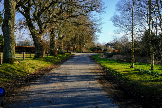
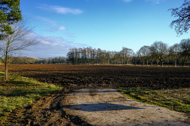
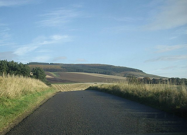
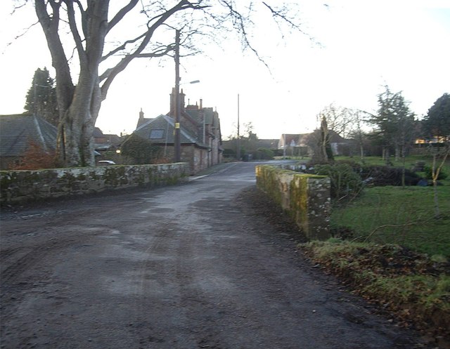
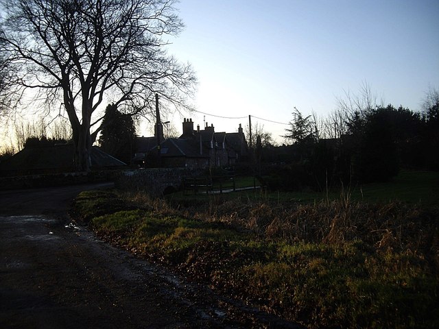
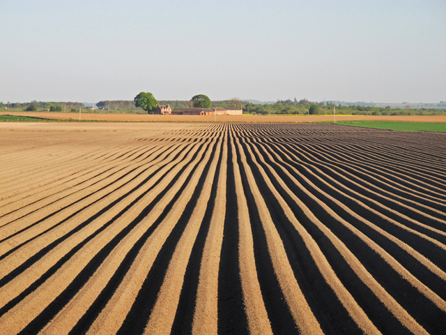
Lake Belt is a picturesque and serene freshwater lake located in the region of Kincardineshire, Scotland. Nestled amidst a lush forested area, the lake offers a tranquil and idyllic setting for nature lovers and outdoor enthusiasts alike. Spanning over an area of approximately 50 acres, Lake Belt is surrounded by dense woodlands, providing a beautiful backdrop of towering trees and vibrant foliage.
The lake itself is renowned for its crystal-clear waters, which are fed by natural springs and streams originating from the surrounding hills. This results in an environment that supports a diverse ecosystem of aquatic life, making it a popular spot for fishing and wildlife observation. Visitors can expect to encounter a variety of fish species, including trout and perch, while birdwatchers can enjoy the sight of numerous waterfowl and migratory birds that frequent the lake.
The shores of Lake Belt are adorned with pebbles and sandy patches, creating inviting spots for picnicking and relaxation. The surrounding forest offers numerous walking trails, inviting visitors to explore the natural beauty and tranquility of the area. The woodland is home to a rich array of flora and fauna, with native species such as oak, birch, and pine trees, as well as a diverse range of wildflowers and small mammals.
Due to its pristine and unspoiled nature, Lake Belt is a designated conservation area, ensuring the preservation and protection of its unique ecosystem. Its natural beauty, combined with the peaceful ambiance, makes it an ideal destination for those seeking a peaceful retreat amidst nature's splendor.
If you have any feedback on the listing, please let us know in the comments section below.
Lake Belt Images
Images are sourced within 2km of 56.860016/-2.5838225 or Grid Reference NO6474. Thanks to Geograph Open Source API. All images are credited.
Lake Belt is located at Grid Ref: NO6474 (Lat: 56.860016, Lng: -2.5838225)
Unitary Authority: Aberdeenshire
Police Authority: North East
What 3 Words
///silent.desks.yield. Near Laurencekirk, Aberdeenshire
Nearby Locations
Related Wikis

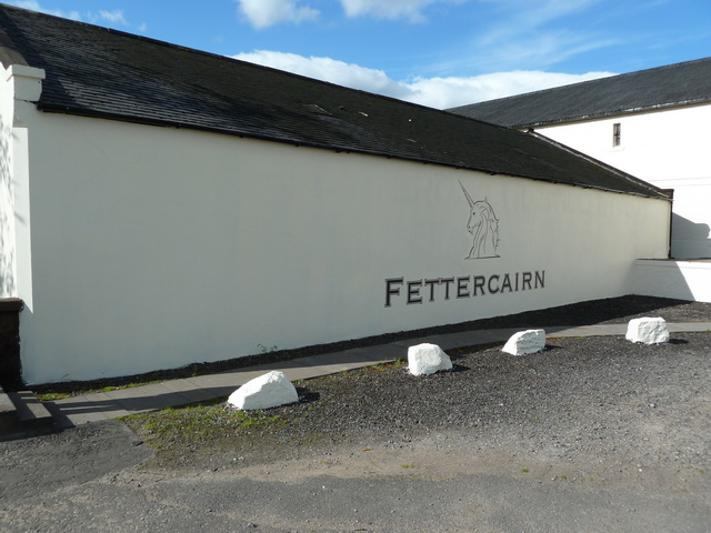
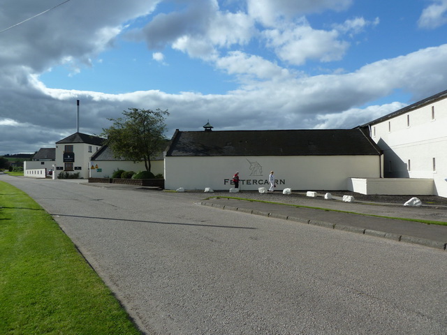
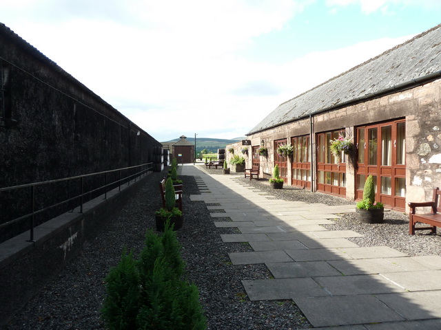
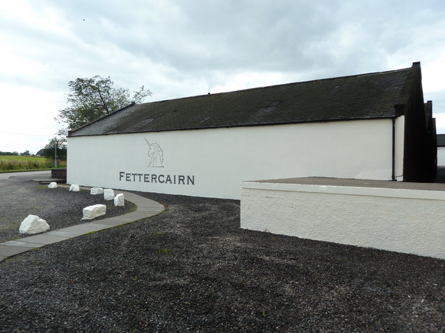
Fettercairn distillery
Fettercairn distillery is a whisky distillery in Fettercairn. Situated under the Grampian foothills in the Howe of Mearns, Fettercairn town’s name is...

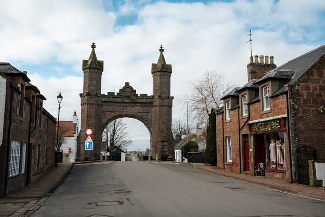
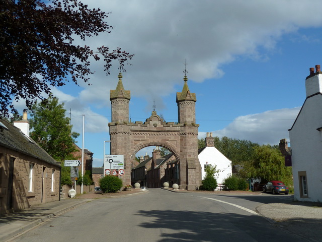
Fettercairn
Fettercairn (, Scottish Gaelic: Fothair Chàrdain) is a small village in Aberdeenshire, Scotland, northwest of Laurencekirk in Aberdeenshire on the B966...

Fasque House
Fasque, also known as Fasque House or Fasque Castle, is a mansion in Aberdeenshire, Scotland, situated near the village of Fettercairn, in the former county...

Kincardine, Aberdeenshire
Kincardine was a burgh in Scotland, near the present-day village of Fettercairn. It served as the first county town of Kincardineshire. The settlement...

Thornton Castle, Marykirk
Thornton Castle, Marykirk, Aberdeenshire is a fortress or fortified residence in Marykirk, Aberdeenshire. Parts of the house date from 1531.It was the...

RAF Edzell
Royal Air Force Edzell or more simply RAF Edzell is a former Royal Air Force satellite station located in Aberdeenshire, one mile east of Edzell in Angus...
Edzell Woods
Edzell Woods is a village in the Kincardine and Mearns area of Aberdeenshire, Scotland. It is 4 miles (6.4 km) from Edzell by road, but only one mile...

Luthermuir
Luthermuir is a village in Aberdeenshire, Scotland, UK. Historically the village was home to weavers and labourers. == Facilities == Luthermuir is home...
Nearby Amenities
Located within 500m of 56.860016,-2.5838225Have you been to Lake Belt?
Leave your review of Lake Belt below (or comments, questions and feedback).