Twinlaw Wood
Wood, Forest in Berwickshire
Scotland
Twinlaw Wood
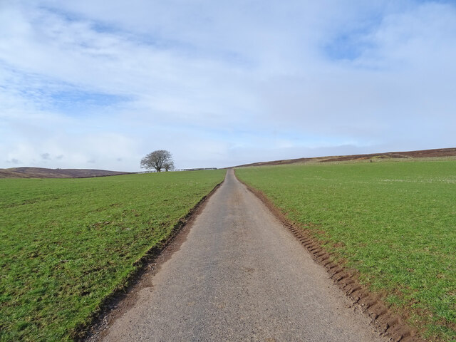
Twinlaw Wood, located in the region of Berwickshire, is a picturesque forest that spans over a vast area. Nestled amidst the rolling hills and countryside, this woodland is known for its breathtaking beauty and diverse ecosystem.
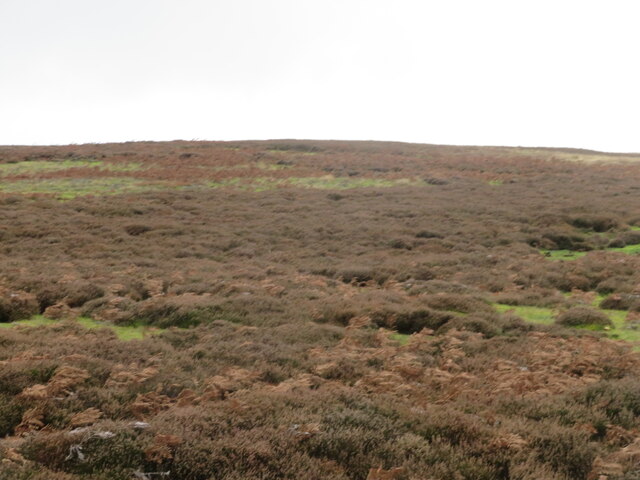
The wood is primarily composed of a mix of deciduous and coniferous trees, creating a rich tapestry of colors throughout the year. Towering oak and beech trees provide a canopy of shade, while spruce and pine trees add a touch of evergreen beauty. The forest floor is covered with a lush carpet of ferns, wildflowers, and mosses, creating a haven for various small creatures and insects.
Twinlaw Wood is also home to a wide array of wildlife. Visitors may catch glimpses of red squirrels scurrying through the treetops, while deer graze quietly in the glades. Birdwatchers can delight in the sight of woodpeckers, jays, and owls, among many other species that call this forest their home.
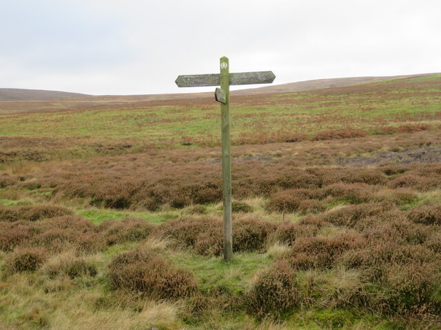
The wood offers several well-maintained walking trails, allowing visitors to explore its enchanting surroundings. These paths meander through the forest, crossing babbling brooks and leading to charming clearings with benches for relaxation. The peaceful ambiance and the soothing sounds of nature make Twinlaw Wood a popular destination for hikers, nature enthusiasts, and families seeking a tranquil retreat.
Twinlaw Wood, with its stunning vistas and diverse wildlife, presents a captivating natural landscape that truly showcases the beauty of Berwickshire's countryside.
If you have any feedback on the listing, please let us know in the comments section below.
Twinlaw Wood Images
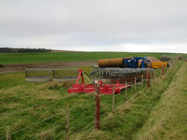
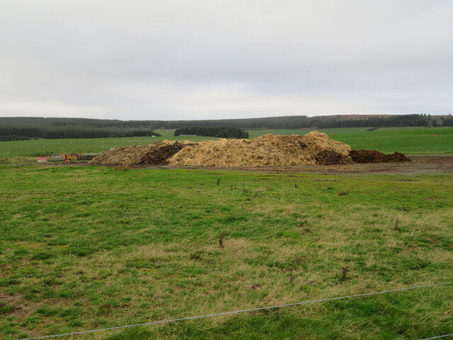
Images are sourced within 2km of 55.793276/-2.567789 or Grid Reference NT6455. Thanks to Geograph Open Source API. All images are credited.
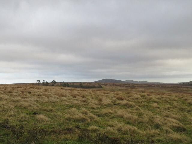
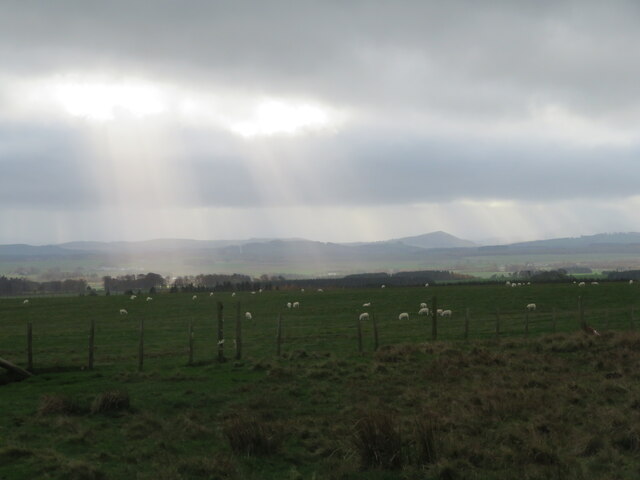
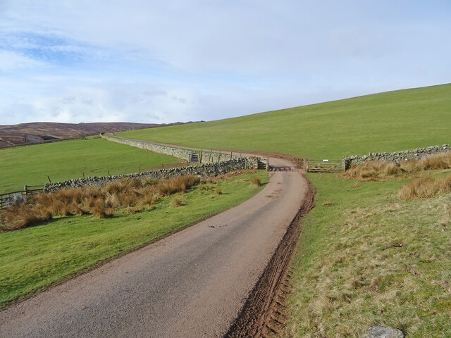
![Woodland at Scarlaw Looking east from the Fallago Rig Wind Farm access road, east of Twinlaw. Watch Water Reservoir can be seen through the trees, and the hill in the right distance is Dirrington Great Law [5.3km].](https://s3.geograph.org.uk/geophotos/07/33/96/7339667_357c3e96.jpg)
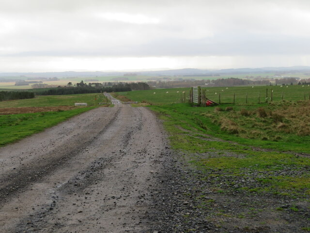
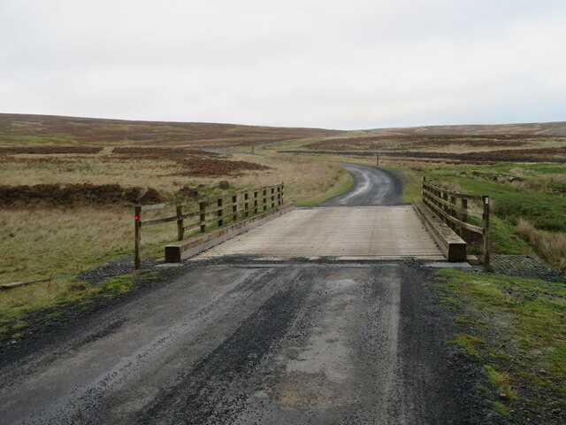
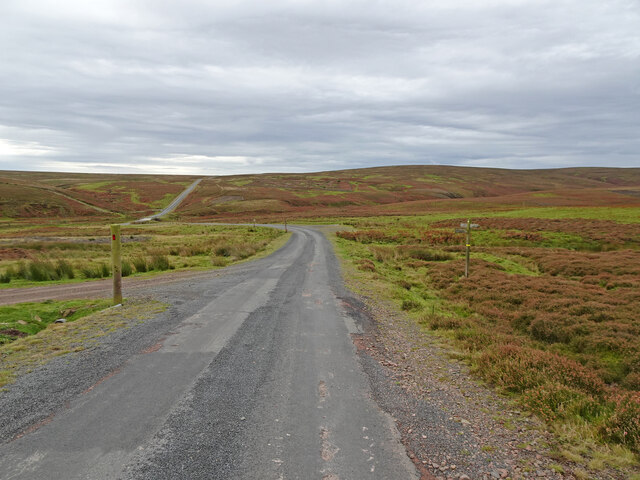
![The Fallago Rig Wind Farm access road Heading north over the Lammermuir hills just over 320m [&gt;1000feet]. Not the shortest route from &#039;civilization&#039; but much better for the local communities.](https://s1.geograph.org.uk/geophotos/07/33/96/7339677_5b1e5c1e.jpg)
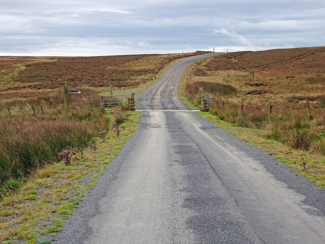
![Memorial [?] pillar on Dunside Hill Just off the Fallago Rig Wind Farm access road at the col between Dunside Hill and Scar Law. Inscribed J.O.H. 1994, but I have yet to find anything more about it.](https://s2.geograph.org.uk/geophotos/07/34/05/7340550_67e7e0d8.jpg)
Twinlaw Wood is located at Grid Ref: NT6455 (Lat: 55.793276, Lng: -2.567789)
Unitary Authority: The Scottish Borders
Police Authority: The Lothians and Scottish Borders
What 3 Words
///shorter.nibbles.earpiece. Near Duns, Scottish Borders
Nearby Locations
Related Wikis

Watch Water
The Watch Water is a river in the Scottish Borders area of Scotland. It rises in the Lammermuir Hills, around 8 kilometres (5.0 mi) west of Longformacus...

Mutiny Stones
The Mutiny Stones are a megalithic monument in the Lammermuir Hills, Scotland.Situated on Byrecleugh Rig, the nearest centre of habitation is at Longformacus...

Blackadder Water
Blackadder Water () is a river in Berwickshire in the Scottish Borders area of Scotland, forming part of the River Tweed system. It reached 2.84m at Mouthbridge...

Longformacus
Longformacus (Scottish Gaelic: Longphort Mhacais) is a small village in Berwickshire in the Scottish Borders area of Scotland. It is around 10 kilometres...
Nearby Amenities
Located within 500m of 55.793276,-2.567789Have you been to Twinlaw Wood?
Leave your review of Twinlaw Wood below (or comments, questions and feedback).