Bank Strip
Wood, Forest in Roxburghshire
Scotland
Bank Strip
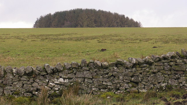
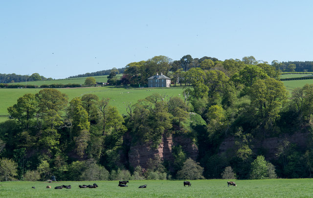
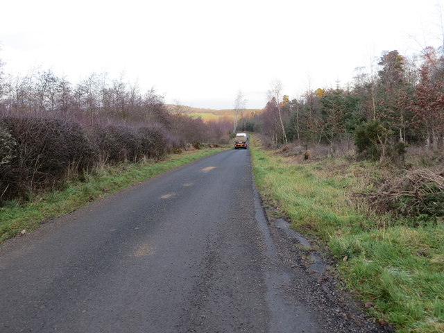
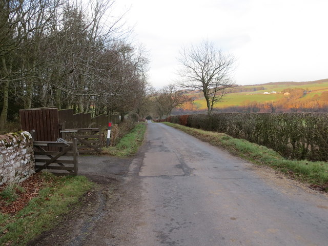
Bank Strip is a small woodland area situated in Roxburghshire, a historic county in the Scottish Borders region of Scotland. Located near the village of Wood, this forested region covers an approximate area of 200 acres. The woodland is characterized by a mix of deciduous and coniferous trees, creating a diverse and visually appealing landscape.
The forest is home to a wide variety of flora and fauna, including oak, beech, pine, and spruce trees. The vibrant colors of the leaves during autumn make it a popular destination for nature enthusiasts and photographers. Additionally, the forest floor is adorned with an array of wildflowers and ferns, further enhancing its natural beauty.
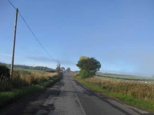
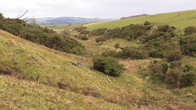
Bank Strip offers several walking trails which allow visitors to explore the woodland and enjoy the peaceful surroundings. These trails cater to different levels of fitness and range from leisurely strolls to more challenging hikes. Along the paths, there are various viewpoints that offer panoramic vistas of the surrounding countryside, including rolling hills and meandering rivers.
This woodland also serves as a habitat for a diverse range of wildlife, including deer, squirrels, rabbits, and numerous bird species. Birdwatchers can spot species like woodpeckers, owls, and songbirds throughout the year.
Bank Strip is a cherished natural asset to the local community and provides opportunities for outdoor recreation and appreciation of nature. It offers a tranquil and picturesque environment, making it a must-visit destination for those seeking solace and connection with the natural world.
If you have any feedback on the listing, please let us know in the comments section below.
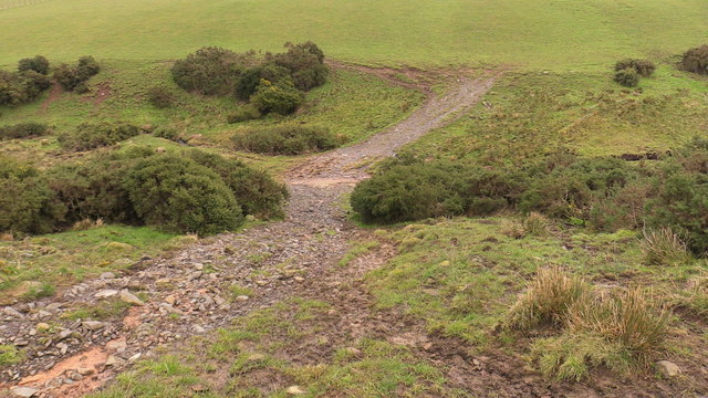
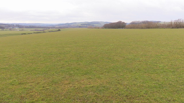
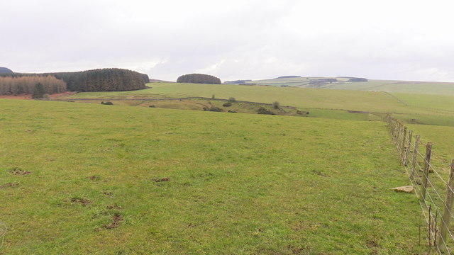
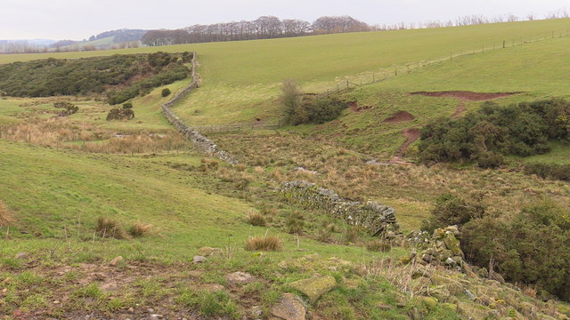
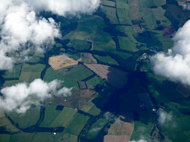
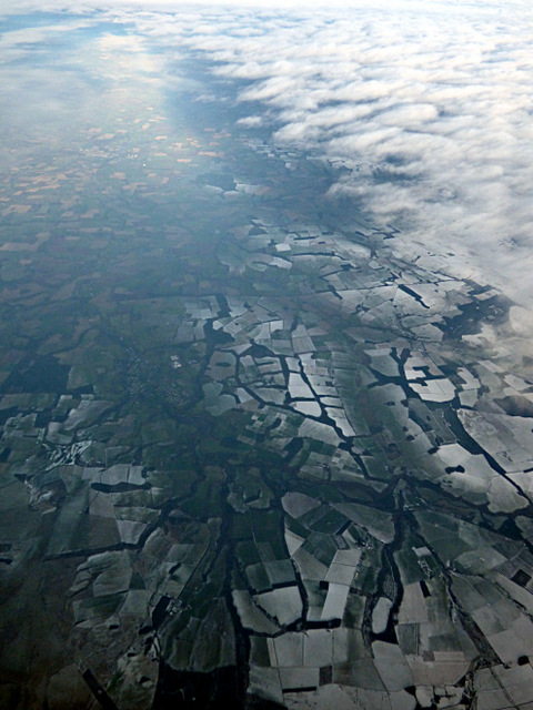
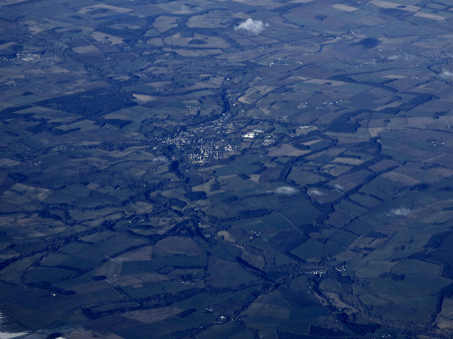
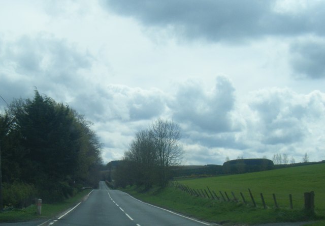
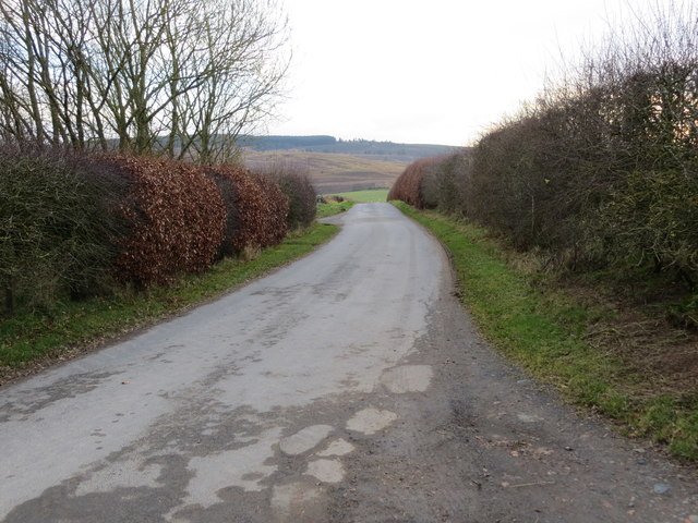
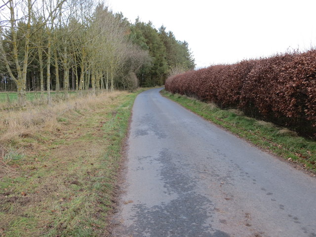
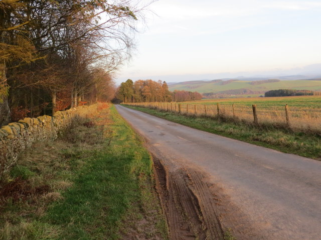
Bank Strip Images
Images are sourced within 2km of 55.430003/-2.5625778 or Grid Reference NT6415. Thanks to Geograph Open Source API. All images are credited.
Bank Strip is located at Grid Ref: NT6415 (Lat: 55.430003, Lng: -2.5625778)
Unitary Authority: The Scottish Borders
Police Authority: The Lothians and Scottish Borders
What 3 Words
///closet.centrally.skimmers. Near Jedburgh, Scottish Borders
Nearby Locations
Related Wikis

Bairnkine
Bairnkine is a hamlet on the Jed Water in the Scottish Borders area of Scotland, on the A68, south of Jedburgh. Other places nearby include Abbotrule,...

Ferniehirst Castle
Ferniehirst Castle (sometimes spelled Ferniehurst) is an L-shaped construction on the east bank of the Jed Water, about a mile and a half south of Jedburgh...

Jedforest
Jedforest is an historic forest in the Scottish Borders, that has been heavily wooded in the past. It is close to Jed Water and the town of Jedburgh, from...

Capon Oak Tree
The Capon Oak Tree is one of the last surviving trees of the ancient Scottish Jedforest. It is close to the A68 and Jed Water, a small river which has...
Have you been to Bank Strip?
Leave your review of Bank Strip below (or comments, questions and feedback).