Chalton

Settlement in Bedfordshire

England

Chalton

New houses on Barford Road, Blunham
New houses on Barford Road, Blunham Credit: David Howard

The requested URL returned error: 429 Too Many Requests

If you have any feedback on the listing, please let us know in the comments section below.
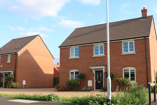
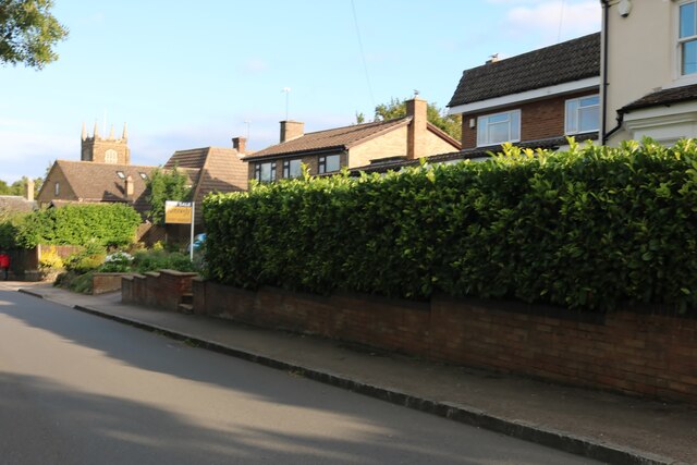
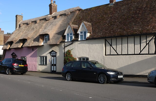
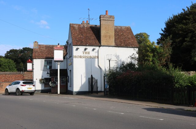
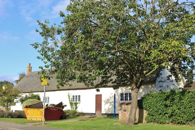
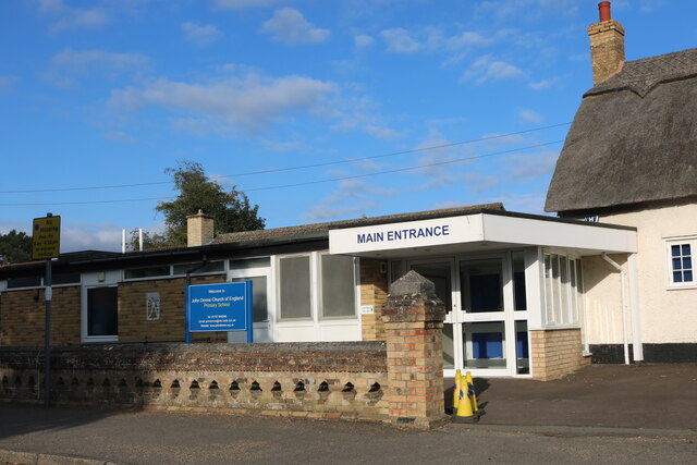
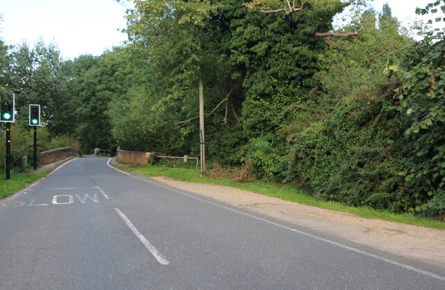
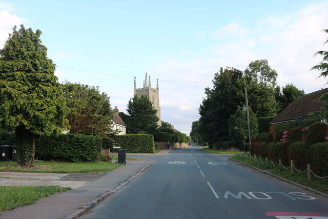
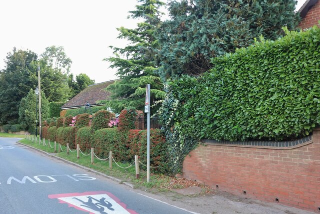
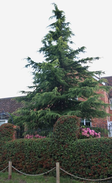
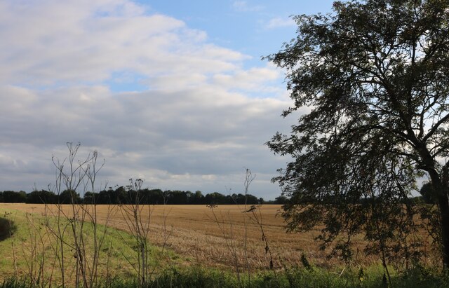
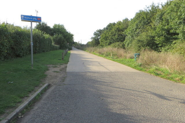
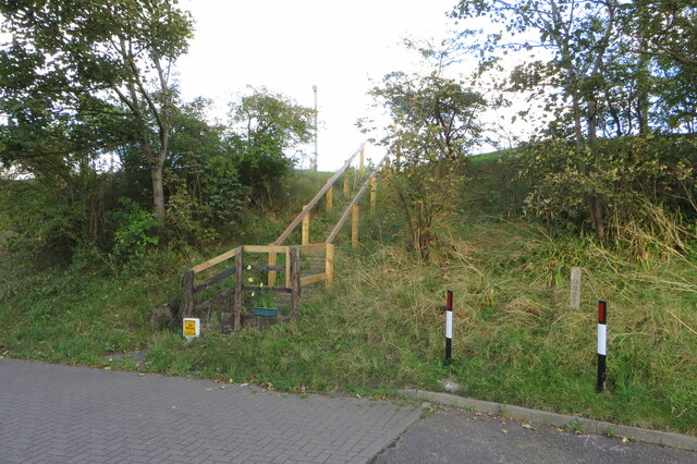
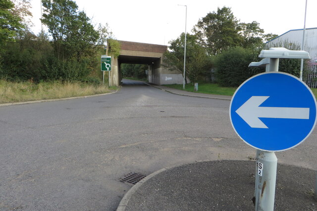
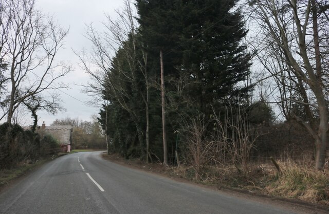
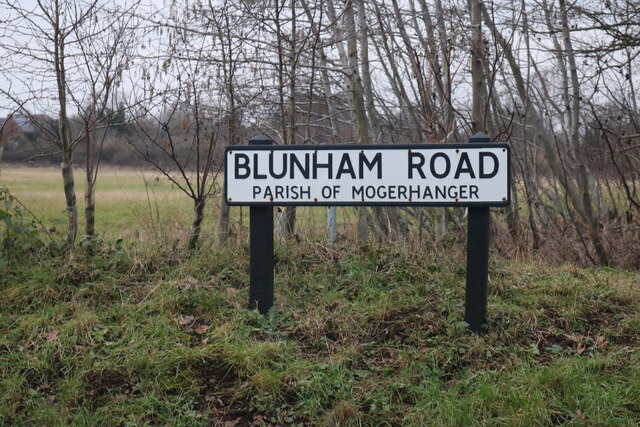
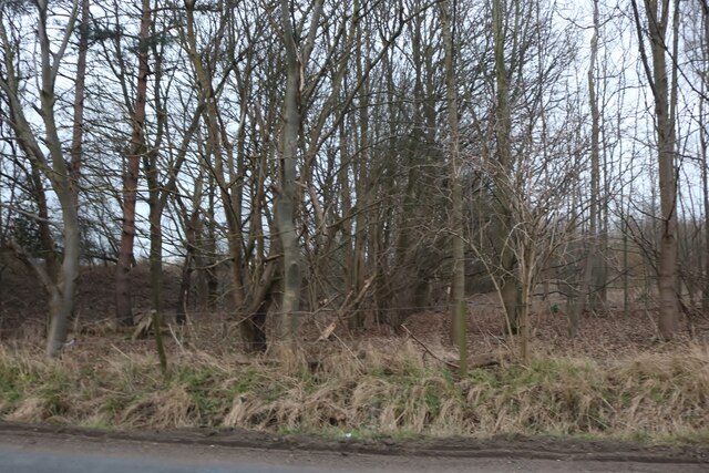
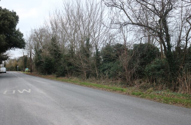
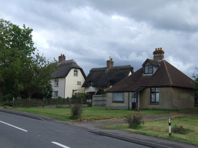
Chalton Images

Images are sourced within 2km of 52.138112/-0.32812279 or Grid Reference TL1450. Thanks to Geograph Open Source API. All images are credited.

New houses on Barford Road, Blunham
The Hill, Blunham
The Hill, Blunham
Old cottages on The Hill, Blunham
The Horseshoes, Blunham
John Donne Lower School, Blunham This is the old part of the school, the new part is on the left.
John Donne Lower School, Blunham
This is the old part of the school, the new part is on the left.
John Donne Primary School, Blunham
Blunham Bridge on Tempsford Road Crossing the River Ivel
Blunham Bridge on Tempsford Road
Crossing the River Ivel
High Street, Great Barford
Garden on Barford Road, Great Barford
Conifer by Barford Road, Great Barford
Field by Barford Road
Cycle route 51 heading for Bedford
Steps up to the A1
Steps up to the A1
Bridge under the A1
Bridge under the A1
The Ridgeway, Moggerhanger
Sign for Blunham Road, Moggerhanger All the maps use two Gs, this sign uses one.
Sign for Blunham Road, Moggerhanger
All the maps use two Gs, this sign uses one.
Woods by The Ridgeway, Moggerhanger
Station Road, Blunham
Show me another place!

Chalton is located at Grid Ref: TL1450 (Lat: 52.138112, Lng: -0.32812279)

Unitary Authority: Central Bedfordshire

Police Authority: Bedfordshire

What 3 Words

///conga.series.spared. Near Blunham, Bedfordshire

Nearby Locations

Chalton

Related Wikis

Blunham railway station

Blunham was a railway station on the Varsity Line which served the small village of the same name in Bedfordshire. Opened in 1862, the station was located...

Moggerhanger

Moggerhanger is a village in the English county of Bedfordshire. It is west of Sandy on the road to Bedford. Its population in 2001 was 636, but had reduced...

Blunham

Blunham is a village and civil parish in the Central Bedfordshire district of Bedfordshire, England, about 6 miles (10 km) east of Bedford town centre...

Great Barford Bridge

The early fifteenth century Great Barford Bridge, sometimes called simply Barford Bridge, spans the River Great Ouse at Great Barford, Bedfordshire. It...

Nearby Amenities

Located within 500m of 52.138112,-0.32812279
Turning Circle
Turning Circle: knuckle
Lat/Long: 52.141607/-0.3236883
Barrier: bollard
Lat/Long: 52.1415725/-0.3243701
Chalton
Place: hamlet
Source: OS_OpenData_StreetView
Lat/Long: 52.1377279/-0.327828
Post Box
Collection Times: Mo-Fr 17:15; Sa 09:30
Operator: Royal Mail
Post Box Type: lamp
Ref: MK44 201
Royal Cypher: EIIR
Royal Cypher Wikidata: Q33102113
Source: survey
Survey Date: 2016-05-07
Lat/Long: 52.1373956/-0.3285102
Direction: 180
Generator Method: photovoltaic
Generator Output Electricity: yes
Generator Solar Modules: 12
Generator Source: solar
Generator Type: solar_photovoltaic_panel
Location: roof
Power: generator
Lat/Long: 52.1369867/-0.328258
Direction: 90
Generator Method: photovoltaic
Generator Output Electricity: yes
Generator Solar Modules: 4
Generator Source: solar
Generator Type: solar_photovoltaic_panel
Location: roof
Power: generator
Lat/Long: 52.1369696/-0.3283073
Direction: 265
Generator Method: photovoltaic
Generator Output Electricity: yes
Generator Solar Modules: 4
Generator Source: solar
Generator Type: solar_photovoltaic_panel
Location: roof
Power: generator
Lat/Long: 52.1373144/-0.3282494
Direction: 180
Generator Method: photovoltaic
Generator Output Electricity: yes
Generator Solar Modules: 16
Generator Source: solar
Generator Type: solar_photovoltaic_panel
Location: roof
Power: generator
Lat/Long: 52.1415937/-0.3241701
Direction: 185
Generator Method: photovoltaic
Generator Output Electricity: yes
Generator Solar Modules: 16
Generator Source: solar
Generator Type: solar_photovoltaic_panel
Location: roof
Power: generator
Lat/Long: 52.1414645/-0.3239598
Marker: post
Utility: gas
Lat/Long: 52.1390768/-0.3223395
The data included in this document is from www.openstreetmap.org. The data is made available under ODbL.

Have you been to Chalton?

Leave your review of Chalton below (or comments, questions and feedback).