Chalton
Settlement in Bedfordshire
England
Chalton

The requested URL returned error: 429 Too Many Requests
If you have any feedback on the listing, please let us know in the comments section below.
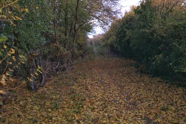
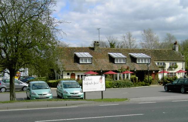
Chalton Images
Images are sourced within 2km of 51.927753/-0.498799 or Grid Reference TL0326. Thanks to Geograph Open Source API. All images are credited.


Chalton is located at Grid Ref: TL0326 (Lat: 51.927753, Lng: -0.498799)
Unitary Authority: Central Bedfordshire
Police Authority: Bedfordshire
What 3 Words
///parrot.barstool.initiates. Near Chalton, Bedfordshire
Related Wikis
Chalton, Bedfordshire
Chalton is a village and civil parish in the Central Bedfordshire district of Bedfordshire, England, immediately north of the Luton/Dunstable conurbation...

Sundon Chalk Quarry
Sundon Chalk Quarry is a 26.2-hectare (65-acre) biological Site of Special Scientific Interest in Upper Sundon in Bedfordshire. It was notified in 1989...

Fancott Woods and Meadows
Fancott Woods and Meadows is a 13.3-hectare Site of Special Scientific Interest near the hamlet of Fancott in Bedfordshire. It was notified under Section...

Church of St Mary, Sundon
Church of St Mary is a Grade I listed church in Lower Sundon, Bedfordshire, England. It became a listed building on 3 February 1967. == See also == Grade...
Nearby Amenities
Located within 500m of 51.927753,-0.498799Have you been to Chalton?
Leave your review of Chalton below (or comments, questions and feedback).