Chalton

Civil Parish in Bedfordshire

England

Chalton

Footpath to Water End Lane Though you need to be quite determined to use it without climbing over the gate
Footpath to Water End Lane Credit: Philip Jeffrey

The requested URL returned error: 429 Too Many Requests

If you have any feedback on the listing, please let us know in the comments section below.
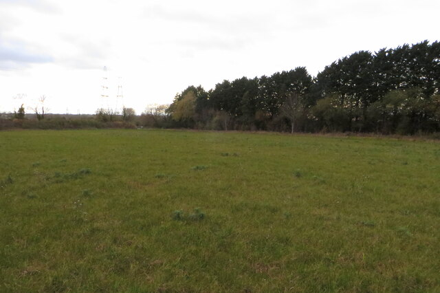
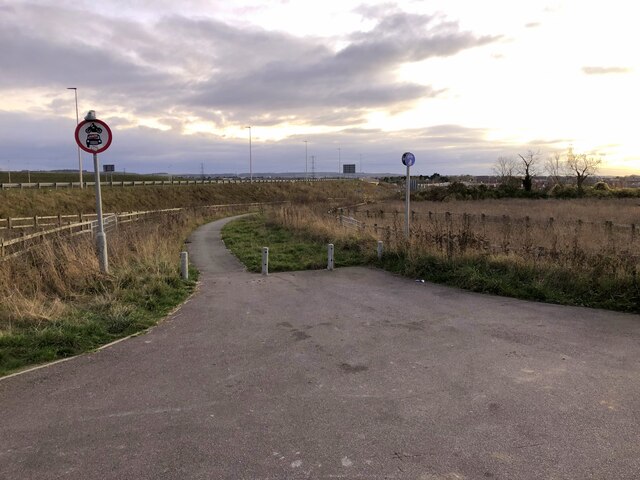
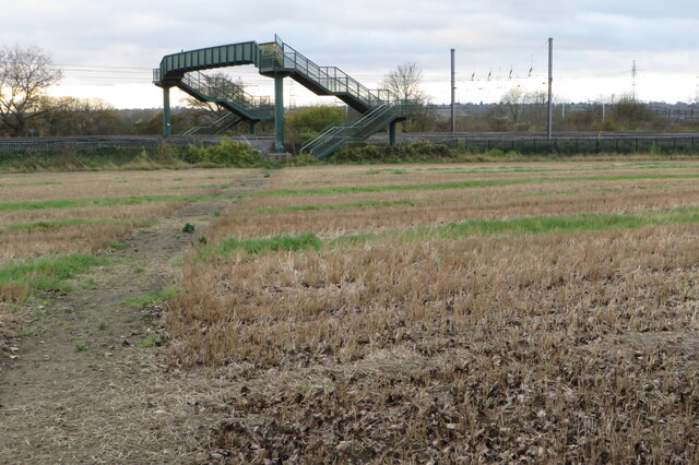
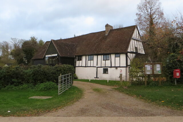
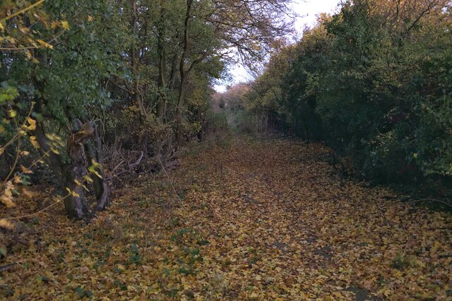
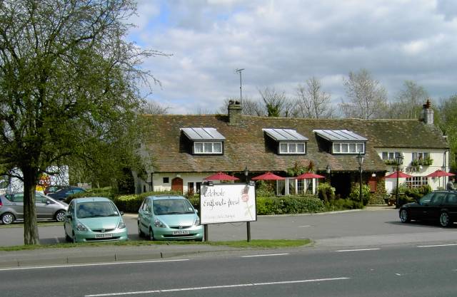
Chalton Images

Images are sourced within 2km of 51.924569/-0.497247 or Grid Reference TL0326. Thanks to Geograph Open Source API. All images are credited.

Footpath to Water End Lane Though you need to be quite determined to use it without climbing over the gate
Footpath to Water End Lane
Though you need to be quite determined to use it without climbing over the gate
Path across the field to Luton Road
Entrance to the sewage works
Footpath and cycle way to Chalgrave
Cycle path towards the A5
Chiltern way heading for the footbridge
Telephone mast by Water End Lane
Chalton Village Hall
Footpath through the woods to the Icknield Way
Pylon by the Chiltern Way heading for Chalton
Footpath by the railway line up to Toddington Services
Byway and footpath skirting the top of Luton
Byway towards Luton
Byway towards Luton
Footpath to Sundon Road
View across the field to Luton
Footpath and chalk escarpment Path mostly used by bikes from the look of it.
Footpath and chalk escarpment
Path mostly used by bikes from the look of it.
Steep steps down to the Chiltern Way
Road to landfill site
Show me another place!

Chalton is located at Grid Ref: TL0326 (Lat: 51.924569, Lng: -0.497247)

Unitary Authority: Central Bedfordshire

Police Authority: Bedfordshire

What 3 Words

///increases.tips.chugging. Near Chalton, Bedfordshire

Nearby Locations

Chalton Chalton

Related Wikis

Chalton, Bedfordshire

Chalton is a village and civil parish in the Central Bedfordshire district of Bedfordshire, England, immediately north of the Luton/Dunstable conurbation...

UTC Central Bedfordshire

UTC Central Bedfordshire was a University Technical College (UTC) in Houghton Regis, Bedfordshire, England. The college opened in September 2012 and specialised...

The Chiltern School

The Chiltern School is a coeducational special school located in Houghton Regis in Bedfordshire, England. The school accepts pupils from all over the...

Houstone School

Houstone School is a coeducational secondary school located in Houghton Regis in the English county of Bedfordshire. == History == The original school...

Nearby Amenities

Located within 500m of 51.924569,-0.497247
Power: tower
Lat/Long: 51.9226091/-0.5036428
Turning Circle
Turning Circle: circle
Lat/Long: 51.924933/-0.5041345
Turning Circle
Turning Circle: circle
Lat/Long: 51.924606/-0.5006767
Addr City: Chalton
Addr Housenumber: 21
Addr Postcode: LU4 9UF
Addr Street: Chalton Heights
Building: house
Lat/Long: 51.9244194/-0.5016326
Addr City: Chalton
Addr Housenumber: 23
Addr Postcode: LU4 9UF
Addr Street: Chalton Heights
Building: house
Lat/Long: 51.9244125/-0.501532
Chalton
Place: hamlet
Lat/Long: 51.9278206/-0.5013108
Post Box
Brand: Royal Mail
Brand Wikidata: Q638098
Brand Wikipedia: en:Royal Mail
Collection Times: Mo-Fr 17:30; Sa 11:15
Operator: Royal Mail
Operator Wikidata: Q638098
Post Box Type: lamp
Ref: LU4 61
Royal Cypher: EIIR
Royal Cypher Wikidata: Q33102113
Source: survey
Lat/Long: 51.9259565/-0.5009806
Motorway Junction
Chalton Interchange
Destination: A5
Junction: motorway_junction
Ref: 11A
Lat/Long: 51.926719/-0.4948041
Barrier: kissing_gate
Description: Broken
Lat/Long: 51.9280208/-0.5006054
Barrier: bollard
Bicycle: designated
Foot: designated
Horse: designated
Motor Vehicle: no
Lat/Long: 51.9227366/-0.4961119
Crossing
Crossing: unmarked
Crossing Island: no
Crossing Markings: no
Tactile Paving: yes
Lat/Long: 51.9237032/-0.4962005
Crossing
Crossing: unmarked
Crossing Island: no
Crossing Markings: no
Tactile Paving: yes
Lat/Long: 51.9240992/-0.4912596
Power: switch
Lat/Long: 51.926364/-0.4927406
Speed Camera
Maxspeed: 70 mph
Maxspeed Type: GB:motorway
Lat/Long: 51.9232016/-0.492469
Speed Camera
Maxspeed: 70 mph
Maxspeed Type: GB:motorway
Lat/Long: 51.9244226/-0.4936765
Speed Camera
Maxspeed: 70 mph
Lat/Long: 51.9243706/-0.4938699
Speed Camera
Maxspeed: 70 mph
Maxspeed Type: GB:motorway
Lat/Long: 51.9285386/-0.4959455
Crossing
Crossing: uncontrolled
Lat/Long: 51.9241278/-0.4903707
Crossing
Crossing: uncontrolled
Lat/Long: 51.9242075/-0.4904301
Crossing
Crossing: unmarked
Crossing Island: no
Crossing Markings: no
Tactile Paving: yes
Lat/Long: 51.924218/-0.4911502
Crossing
Crossing: unmarked
Crossing Island: no
Crossing Markings: no
Tactile Paving: yes
Lat/Long: 51.9247992/-0.4968559
Crossing
Lat/Long: 51.9256352/-0.5003426
Crossing
Lat/Long: 51.9275248/-0.5013331
Crossing
Lat/Long: 51.9257263/-0.5007587
Crossing
Lat/Long: 51.9260068/-0.5009668
Crossing
Button Operated: yes
Crossing: traffic_signals
Crossing Island: no
Crossing Markings: dots
Crossing Ref: pelican
Tactile Paving: yes
Traffic Signals Sound: yes
Traffic Signals Vibration: no
Lat/Long: 51.9266317/-0.5009241
Crossing
Crossing: unmarked
Crossing Island: no
Crossing Markings: no
Tactile Paving: yes
Lat/Long: 51.9227672/-0.4961131
The data included in this document is from www.openstreetmap.org. The data is made available under ODbL.

Have you been to Chalton?

Leave your review of Chalton below (or comments, questions and feedback).