Charlie's Plantation

Wood, Forest in Roxburghshire

Scotland

Charlie's Plantation

Sheep, Martinlee A field amongst the conifers.
Sheep, Martinlee Credit: Richard Webb

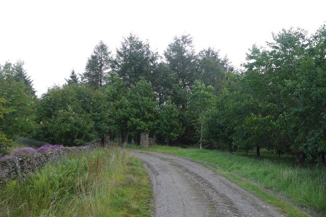
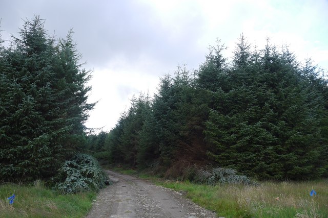
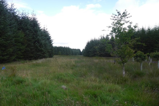
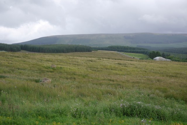
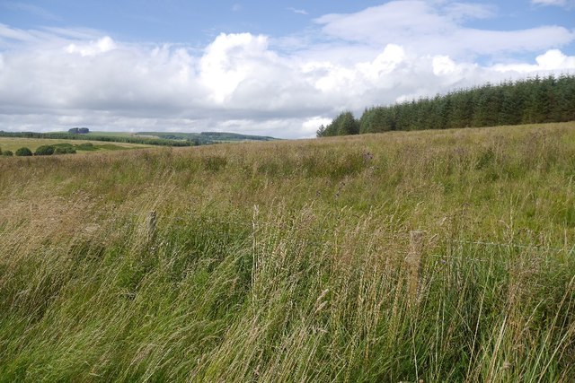
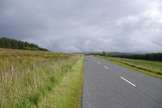
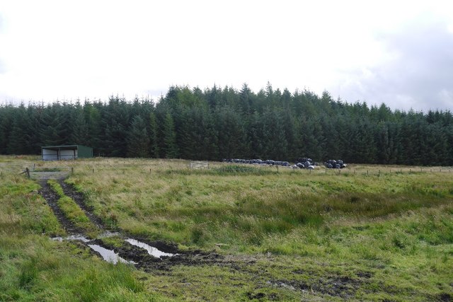
Charlie's Plantation, located in Roxburghshire, is a picturesque woodland area known for its stunning natural beauty and rich history. Spanning over a vast area, this plantation is home to a diverse range of plant species, making it a haven for nature enthusiasts and botanists alike.

The plantation is named after Charles, the 18th-century landowner who envisioned and developed the area into a thriving forest. Today, his legacy lives on as visitors can explore the well-maintained network of trails that wind through the plantation, offering breathtaking views of the surrounding countryside.

The woodland is primarily composed of native species such as oak, beech, and birch trees, creating a dense canopy that offers shade and shelter to various wildlife species. Birdwatchers will be delighted by the numerous species that call Charlie's Plantation their home, including woodpeckers, owls, and a variety of songbirds.

The plantation also boasts several natural features, including a small river that meanders through the forest, adding to the overall serenity and tranquility of the area. In addition, there are several well-placed seating areas and picnic spots for visitors to relax and soak in the peaceful ambiance.

Charlie's Plantation is not only a haven for nature enthusiasts but also offers educational opportunities. Local schools often organize field trips to the plantation, where students can learn about the importance of forests and the ecosystems they support.

Overall, Charlie's Plantation in Roxburghshire is a true gem that offers a unique blend of natural beauty, recreational activities, and educational experiences for visitors of all ages.

If you have any feedback on the listing, please let us know in the comments section below.

Charlie's Plantation Images

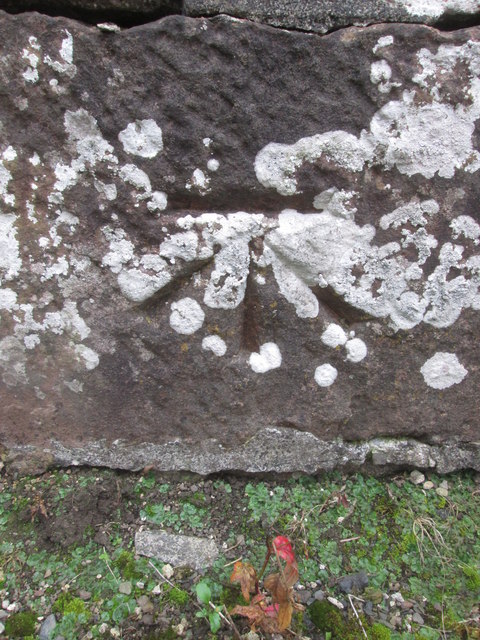
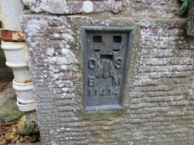
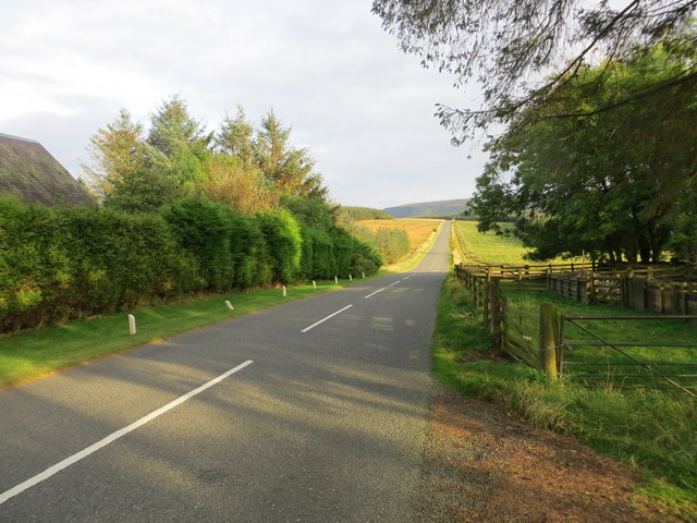
Images are sourced within 2km of 55.361069/-2.5674043 or Grid Reference NT6407. Thanks to Geograph Open Source API. All images are credited.

Sheep, Martinlee A field amongst the conifers.
Sheep, Martinlee
A field amongst the conifers.
Road, Wauchope Forest Heading for the site of Burns, a now demolished house.
Road, Wauchope Forest
Heading for the site of Burns, a now demolished house.
Road, Charlies Knowe A younger road than the one to Burns and I suspect built since a visit around 15 years earlier.
Road, Charlies Knowe
A younger road than the one to Burns and I suspect built since a visit around 15 years earlier.
Wauchope Forest North side of Charlies Knowe. There were crossbills in the trees.
Wauchope Forest
North side of Charlies Knowe. There were crossbills in the trees.
Wauchope Forest This is probably a small wood from before the time all the land here was planted up.
Wauchope Forest
This is probably a small wood from before the time all the land here was planted up.
Young trees, Charlie's Knowe
Logging road, Wauchope Forest
Ordnance Survey Cut Mark This OS cut mark can be found on the old bridge over the Jed Water. It marks a point 192.063m above mean sea level.
Ordnance Survey Cut Mark
This OS cut mark can be found on the old bridge over the Jed Water. It marks a point 192.063m above mean sea level.
Ordnance Survey Flush Bracket 11414 This can be found on the wall of a cottage - a private dwelling - at Charlies Hill.
For more detail see : <span class="nowrap"><a title="http://www.bench-marks.org.uk/bm11884" rel="nofollow ugc noopener" href="http://www.bench-marks.org.uk/bm11884">Link</a><img style="margin-left:2px;" alt="External link" title="External link - shift click to open in new window" src="https://s1.geograph.org.uk/img/external.png" width="10" height="10"/></span>
Ordnance Survey Flush Bracket 11414
This can be found on the wall of a cottage - a private dwelling - at Charlies Hill. For more detail see : LinkExternal link
Road (A6088) at Charlies Hill Looking north-westward from cottage entrance.
Road (A6088) at Charlies Hill
Looking north-westward from cottage entrance.
Road to Waterside Gate pillars on a forest road. It leads to a wooden building beside the Gala Water.
Road to Waterside
Gate pillars on a forest road. It leads to a wooden building beside the Gala Water.
Road from Waterside A forest road with evidence of recent thinning.
Road from Waterside
A forest road with evidence of recent thinning.
Unplanted strip A very wide ride, left unplanted in the conifer plantations to the north of Waterside.
Unplanted strip
A very wide ride, left unplanted in the conifer plantations to the north of Waterside.
Track near Southdean The newly surfaced track links the A6088 with the forest road within the plantations around the Jed Water.
Track near Southdean
The newly surfaced track links the A6088 with the forest road within the plantations around the Jed Water.
Rough grazing, Charlie's Hill View towards Carter Fell.
Rough grazing, Charlie's Hill
View towards Carter Fell.
Steele Knowe Some very rough grassland between the plantations and road.
Steele Knowe
Some very rough grassland between the plantations and road.
A6088, Steele Knowe A quiet road which links Hawick and Carter Bar.
A6088, Steele Knowe
A quiet road which links Hawick and Carter Bar.
Rough grazing Although mapped as forest, there is a wide strip of grassland between Wauchope Forest and the A6088. At the time it was grazed by belted Galloway cattle.
Rough grazing
Although mapped as forest, there is a wide strip of grassland between Wauchope Forest and the A6088. At the time it was grazed by belted Galloway cattle.
Show me another place!

Charlie's Plantation is located at Grid Ref: NT6407 (Lat: 55.361069, Lng: -2.5674043)

Unitary Authority: The Scottish Borders

Police Authority: The Lothians and Scottish Borders

What 3 Words

///showcase.regress.already. Near Jedburgh, Scottish Borders

Related Wikis

Southdean

Southdean is a hamlet in the Scottish Borders area of Scotland, on the A6088, by the Jed Water and in the Wauchope Forest area. Other settlements nearby...

Scottish Borders

The Scottish Borders (Scots: the Mairches, lit. 'the Marches'; Scottish Gaelic: Crìochan na h-Alba) is one of 32 council areas of Scotland. It is bordered...

Carter Bar

Carter Bar is a pass in the Cheviot Hills, on the Anglo-Scottish border. It lies east of Carter Fell at the head of Redesdale, and is crossed by the A68...

Raid of the Redeswire

The Raid of the Redeswire, also known as the Redeswire Fray, was a border skirmish between England and Scotland on 7 July 1575 which took place at Carter...

Have you been to Charlie's Plantation?

Leave your review of Charlie's Plantation below (or comments, questions and feedback).