Charlie's Knowe

Hill, Mountain in Roxburghshire

Scotland

Charlie's Knowe

Sheep, Martinlee A field amongst the conifers.
Sheep, Martinlee Credit: Richard Webb

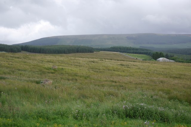
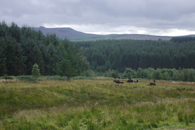
Charlie's Knowe is a prominent hill located in the region of Roxburghshire, Scotland. Situated in the southern part of the country, it forms part of the Cheviot Hills range. Rising to a height of approximately 525 meters (1,722 feet), it offers stunning panoramic views of the surrounding landscape.

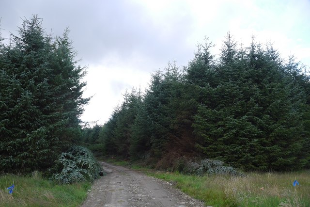
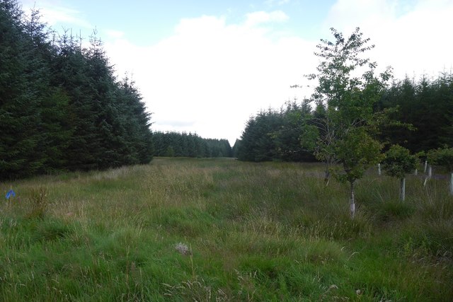
The hill is known for its rugged and rocky terrain, with steep slopes that provide a challenging yet rewarding climb for outdoor enthusiasts and hikers. The summit of Charlie's Knowe is marked by a small cairn, offering a sense of accomplishment to those who reach it.

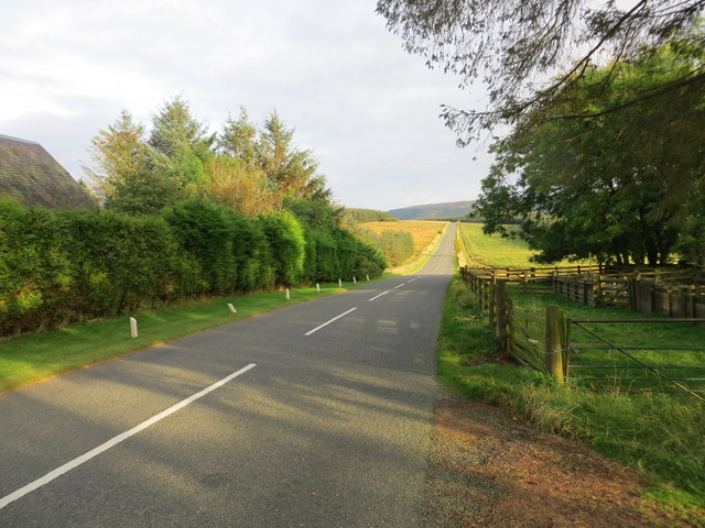
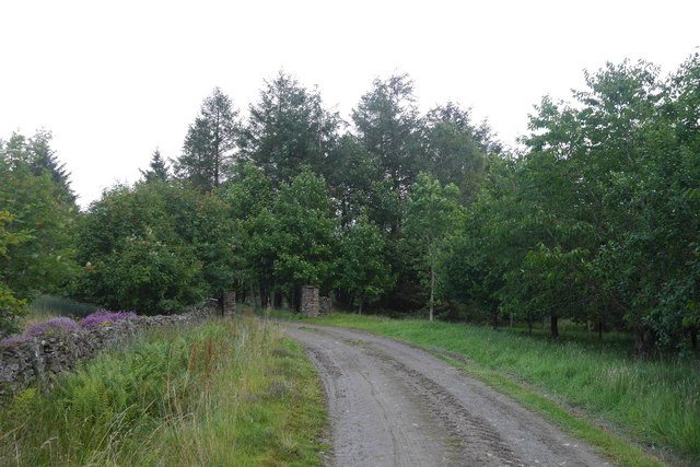
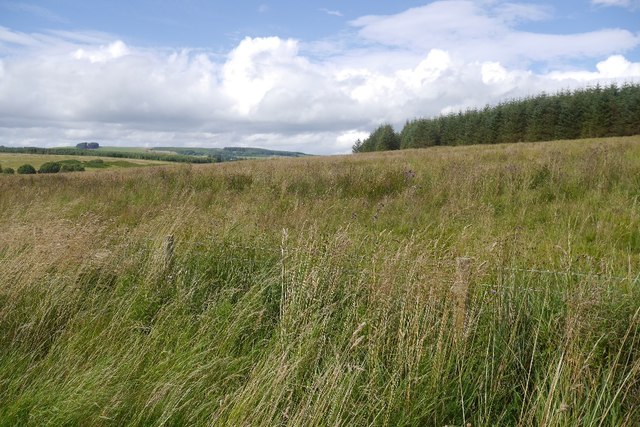
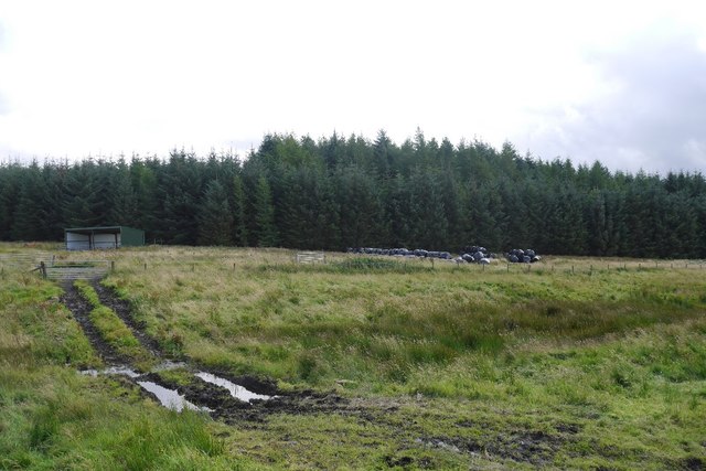
The area surrounding the hill is rich in natural beauty, with picturesque valleys, dense forests, and meandering rivers. Wildlife is abundant, and it is not uncommon to spot various species of birds, deer, and other animals during a hike.

Charlie's Knowe is also steeped in history, with ancient tales and legends associated with the hill. It is said to have been a site of ancient settlements and battles, adding an air of mystery and fascination to the area.

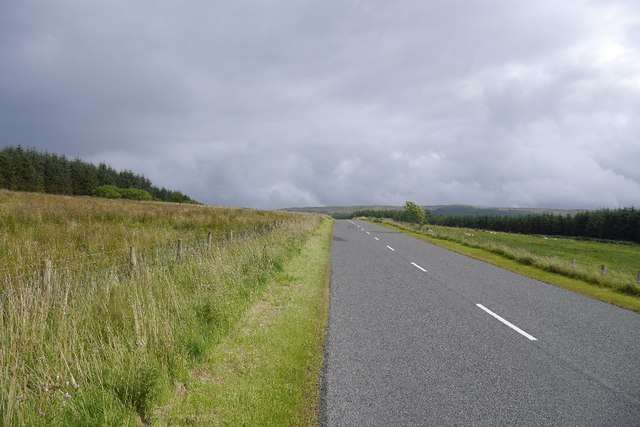
Access to Charlie's Knowe is relatively straightforward, with several walking trails and paths leading to the summit. However, caution is advised, as the terrain can be challenging and weather conditions can change quickly.

Overall, Charlie's Knowe offers a unique and rewarding outdoor experience, combining natural beauty, historical significance, and a sense of adventure for those willing to explore its slopes.

If you have any feedback on the listing, please let us know in the comments section below.

Charlie's Knowe Images

Images are sourced within 2km of 55.358746/-2.5585221 or Grid Reference NT6407. Thanks to Geograph Open Source API. All images are credited.

Sheep, Martinlee A field amongst the conifers.
Sheep, Martinlee
A field amongst the conifers.
Road, Wauchope Forest Heading for the site of Burns, a now demolished house.
Road, Wauchope Forest
Heading for the site of Burns, a now demolished house.
Road, Charlies Knowe A younger road than the one to Burns and I suspect built since a visit around 15 years earlier.
Road, Charlies Knowe
A younger road than the one to Burns and I suspect built since a visit around 15 years earlier.
Wauchope Forest North side of Charlies Knowe. There were crossbills in the trees.
Wauchope Forest
North side of Charlies Knowe. There were crossbills in the trees.
Wauchope Forest This is probably a small wood from before the time all the land here was planted up.
Wauchope Forest
This is probably a small wood from before the time all the land here was planted up.
Young trees, Charlie's Knowe
Logging road, Wauchope Forest
Ordnance Survey Flush Bracket 11414 This can be found on the wall of a cottage - a private dwelling - at Charlies Hill.
For more detail see : <span class="nowrap"><a title="http://www.bench-marks.org.uk/bm11884" rel="nofollow ugc noopener" href="http://www.bench-marks.org.uk/bm11884">Link</a><img style="margin-left:2px;" alt="External link" title="External link - shift click to open in new window" src="https://s1.geograph.org.uk/img/external.png" width="10" height="10"/></span>
Ordnance Survey Flush Bracket 11414
This can be found on the wall of a cottage - a private dwelling - at Charlies Hill. For more detail see : LinkExternal link
Road (A6088) at Charlies Hill Looking north-westward from cottage entrance.
Road (A6088) at Charlies Hill
Looking north-westward from cottage entrance.
Road to Waterside Gate pillars on a forest road. It leads to a wooden building beside the Gala Water.
Road to Waterside
Gate pillars on a forest road. It leads to a wooden building beside the Gala Water.
Road from Waterside A forest road with evidence of recent thinning.
Road from Waterside
A forest road with evidence of recent thinning.
Unplanted strip A very wide ride, left unplanted in the conifer plantations to the north of Waterside.
Unplanted strip
A very wide ride, left unplanted in the conifer plantations to the north of Waterside.
Track near Southdean The newly surfaced track links the A6088 with the forest road within the plantations around the Jed Water.
Track near Southdean
The newly surfaced track links the A6088 with the forest road within the plantations around the Jed Water.
Rough grazing, Charlie's Hill View towards Carter Fell.
Rough grazing, Charlie's Hill
View towards Carter Fell.
Steele Knowe Some very rough grassland between the plantations and road.
Steele Knowe
Some very rough grassland between the plantations and road.
A6088, Steele Knowe A quiet road which links Hawick and Carter Bar.
A6088, Steele Knowe
A quiet road which links Hawick and Carter Bar.
Rough grazing Although mapped as forest, there is a wide strip of grassland between Wauchope Forest and the A6088. At the time it was grazed by belted Galloway cattle.
Rough grazing
Although mapped as forest, there is a wide strip of grassland between Wauchope Forest and the A6088. At the time it was grazed by belted Galloway cattle.
Belted Galloway cattle A herd of belties beside Wauchope Forest with the Cheviot hills in the background.
Belted Galloway cattle
A herd of belties beside Wauchope Forest with the Cheviot hills in the background.
Show me another place!

Charlie's Knowe is located at Grid Ref: NT6407 (Lat: 55.358746, Lng: -2.5585221)

Unitary Authority: The Scottish Borders

Police Authority: The Lothians and Scottish Borders

What 3 Words

///molars.respects.limelight. Near Jedburgh, Scottish Borders

Related Wikis

Southdean

Southdean is a hamlet in the Scottish Borders area of Scotland, on the A6088, by the Jed Water and in the Wauchope Forest area. Other settlements nearby...

Scottish Borders

The Scottish Borders (Scots: the Mairches, lit. 'the Marches'; Scottish Gaelic: Crìochan na h-Alba) is one of 32 council areas of Scotland. It is bordered...

Carter Bar

Carter Bar is a pass in the Cheviot Hills, on the Anglo-Scottish border. It lies east of Carter Fell at the head of Redesdale, and is crossed by the A68...

Raid of the Redeswire

The Raid of the Redeswire, also known as the Redeswire Fray, was a border skirmish between England and Scotland on 7 July 1575 which took place at Carter...

Nearby Amenities

Located within 500m of 55.358746,-2.5585221
Charlie's Knowe
Natural: peak
Lat/Long: 55.3589224/-2.5582279
The data included in this document is from www.openstreetmap.org. The data is made available under ODbL.

Have you been to Charlie's Knowe?

Leave your review of Charlie's Knowe below (or comments, questions and feedback).