Cracking Shaw
Wood, Forest in East Lothian
Scotland
Cracking Shaw

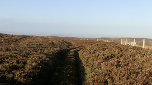
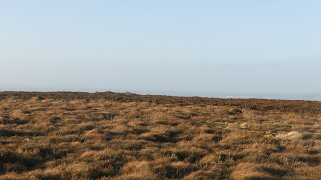
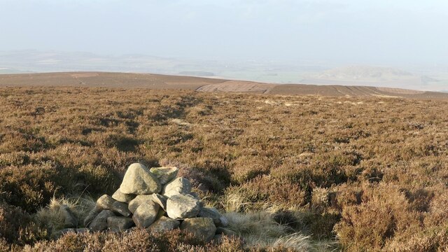
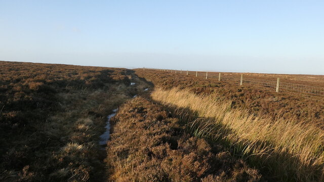
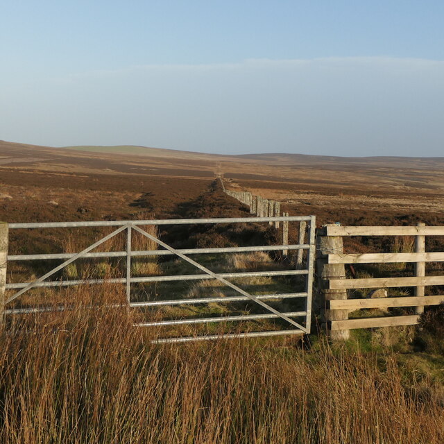
Cracking Shaw, located in East Lothian, Scotland, is a picturesque wood and forest area that offers a serene and natural escape for visitors. Covering an area of approximately 200 acres, this woodland boasts a diverse range of flora and fauna, making it a popular spot for nature enthusiasts and outdoor adventurers.
The wood is predominantly composed of deciduous trees such as oak, beech, and birch, which create a stunning canopy overhead during the summer months. The forest floor is carpeted with a variety of wildflowers, adding a burst of color to the landscape. Several well-maintained trails meander through the woodland, providing visitors with the opportunity to explore and immerse themselves in the peaceful ambiance of the surroundings.
The wildlife in Cracking Shaw is abundant and includes species such as red squirrels, badgers, and various species of birds. Birdwatchers flock to the area to catch a glimpse of the resident woodpeckers, owls, and other avian species that call this forest their home.
In addition to its natural beauty, Cracking Shaw offers recreational activities for visitors to enjoy. Picnic areas are available for those looking to relax and soak in the tranquil atmosphere. The woodland is also a popular spot for hiking and cycling, with trails of varying difficulty levels catering to all fitness levels.
Cracking Shaw truly encapsulates the charm and beauty of East Lothian's woodlands, offering a peaceful retreat for individuals seeking solace in nature's embrace.
If you have any feedback on the listing, please let us know in the comments section below.
Cracking Shaw Images
Images are sourced within 2km of 55.907386/-2.5756461 or Grid Reference NT6468. Thanks to Geograph Open Source API. All images are credited.


Cracking Shaw is located at Grid Ref: NT6468 (Lat: 55.907386, Lng: -2.5756461)
Unitary Authority: East Lothian
Police Authority: The Lothians and Scottish Borders
What 3 Words
///lawns.pastels.scenes. Near East Linton, East Lothian
Nearby Locations
Related Wikis

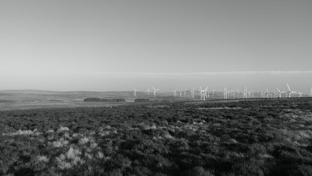
Crystal Rig Wind Farm
Crystal Rig Wind Farm is an operational onshore wind farm located on the Lammermuir Hills in the Scottish Borders region of Scotland. When phase 1 was...

Pressmennan Lake
Pressmennan Lake is a lake in East Lothian in Scotland. It is an artificial reservoir constructed in 1819 by a Mr Nesbit who dammed the streams flowing...

Whiteadder Reservoir
Whiteadder Reservoir is a reservoir in East Lothian, Scotland, UK, in the Lammermuir Hills, 11 miles (18 km) north west of Duns in the Scottish Borders...
Sancta Maria Abbey, Nunraw
Nunraw Abbey or Sancta Maria Abbey, Nunraw is a working Trappist (Ordo Cisterciensis Strictioris Observantiae) monastery. It was the first Cistercian house...

Stoneypath Tower
Stoneypath Tower, is an L-plan tower house dating from the late sixteenth century, about 3.5 miles (5.6 km) south of East Linton, and east of the Whittinghame...

Garvald, East Lothian
Garvald is a village south-east of Haddington in East Lothian, Scotland. It lies on the Papana Water south of the B6370, east of Gifford. The combined...

Whittingehame Tower
Whittingehame Tower, or Whittingehame Castle, is a fifteenth-century tower house about 2.5 miles (4.0 km) south of East Linton, on the west bank of Whittinghame...

Whittingehame
Whittingehame is a parish with a small village in East Lothian, Scotland, about halfway between Haddington and Dunbar, and near East Linton. The area is...
Nearby Amenities
Located within 500m of 55.907386,-2.5756461Have you been to Cracking Shaw?
Leave your review of Cracking Shaw below (or comments, questions and feedback).