Croftangry Wood
Wood, Forest in Kincardineshire
Scotland
Croftangry Wood
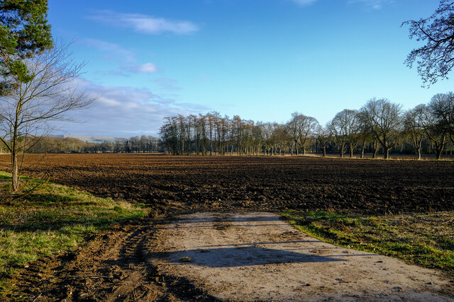
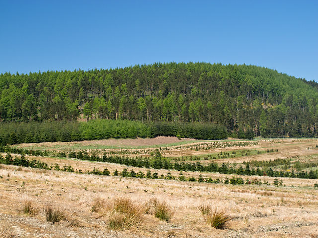
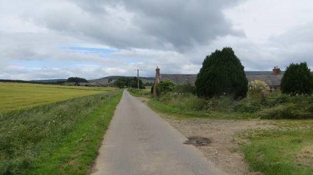
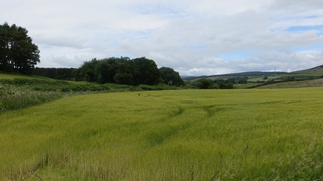
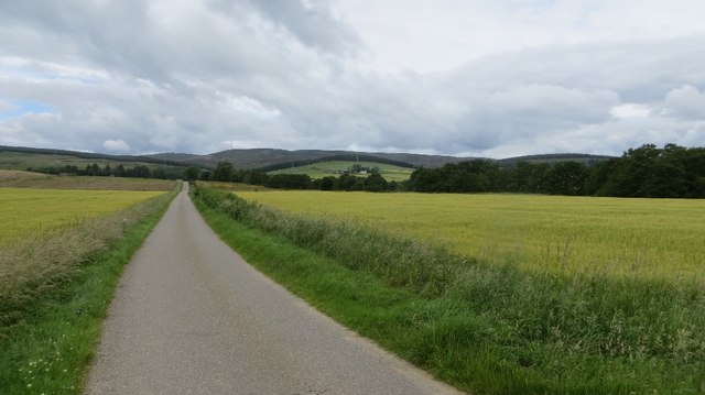
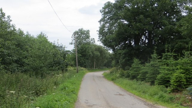
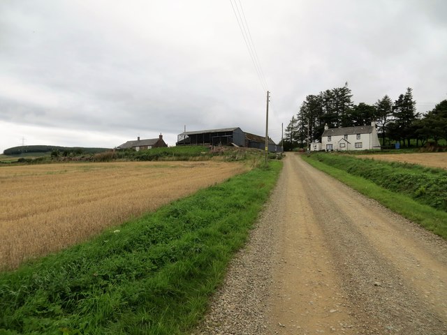
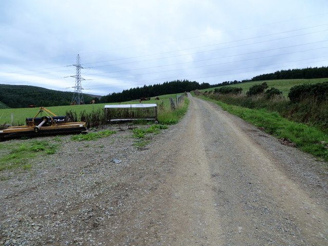
Croftangry Wood is a picturesque woodland located in Kincardineshire, Scotland. Spanning over a vast area, this forest is known for its stunning natural beauty and diverse range of flora and fauna.
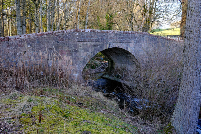
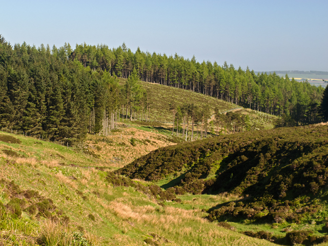
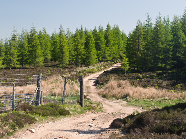
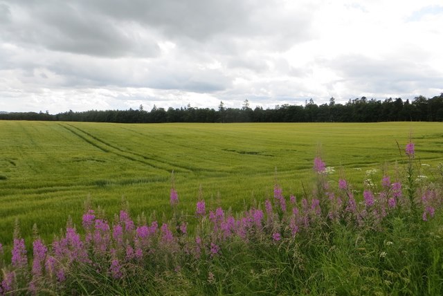
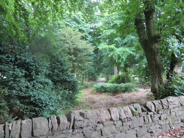
The wood is primarily composed of native Scottish trees, such as oak, birch, and pine, which create a dense and enchanting canopy. The forest floor is covered in a lush carpet of moss, ferns, and wildflowers, adding to its ethereal charm. Croftangry Wood is also home to several small streams and a tranquil pond, providing a serene atmosphere for visitors.
The woodland is a haven for wildlife enthusiasts, with a rich diversity of animal species inhabiting its depths. Visitors may spot red squirrels, roe deer, and a variety of bird species, including woodpeckers and owls. The wood’s proximity to the River Dee also makes it an ideal spot for observing salmon and trout during their seasonal migrations.
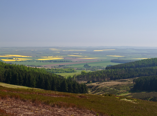
Croftangry Wood offers numerous trails for hikers and nature lovers to explore its hidden gems. These well-maintained paths wind through the forest, providing opportunities to discover hidden glens, ancient ruins, and breathtaking viewpoints. The wood is also popular among birdwatchers, who can observe and document the region's unique avian population.
For those seeking solitude and tranquility, Croftangry Wood is the perfect retreat. It offers a chance to immerse oneself in nature, breathe in the fresh Scottish air, and appreciate the beauty of the natural world. Whether one is a seasoned outdoor enthusiast or simply looking for a peaceful escape, Croftangry Wood provides a truly captivating experience.
If you have any feedback on the listing, please let us know in the comments section below.
Croftangry Wood Images
Images are sourced within 2km of 56.872441/-2.5930555 or Grid Reference NO6375. Thanks to Geograph Open Source API. All images are credited.

Croftangry Wood is located at Grid Ref: NO6375 (Lat: 56.872441, Lng: -2.5930555)
Unitary Authority: Aberdeenshire
Police Authority: North East
What 3 Words
///alert.sapping.differ. Near Laurencekirk, Aberdeenshire
Nearby Locations
Related Wikis

Fasque House
Fasque, also known as Fasque House or Fasque Castle, is a mansion in Aberdeenshire, Scotland, situated near the village of Fettercairn, in the former county...

Fettercairn distillery
Fettercairn distillery is a whisky distillery in Fettercairn. Situated under the Grampian foothills in the Howe of Mearns, Fettercairn town’s name is...

Fettercairn
Fettercairn (, Scottish Gaelic: Fothair Chàrdain) is a small village in Aberdeenshire, Scotland, northwest of Laurencekirk in Aberdeenshire on the B966...

Kincardine, Aberdeenshire
Kincardine was a burgh in Scotland, near the present-day village of Fettercairn. It served as the first county town of Kincardineshire. The settlement...
Related Videos

Fettercairn Village Walk, Scottish Countryside 4K
Fettercairn Village Walk, Scottish Countryside 4K. Step into the serene beauty of rural Scotland with our 'Fettercairn Village Walk' ...

Fettercairn Royal Arch and a drive in the car to Edzell. Historic Scotland
Happen to be coming back from Banchory and stop of in Fettercairn for a break . we take a look at the market square and Royal ...
Nearby Amenities
Located within 500m of 56.872441,-2.5930555Have you been to Croftangry Wood?
Leave your review of Croftangry Wood below (or comments, questions and feedback).