Fithie Wood

Wood, Forest in Angus

Scotland

Fithie Wood

Stubble, Easter Braikie Hilltop arable.
Stubble, Easter Braikie Credit: Richard Webb

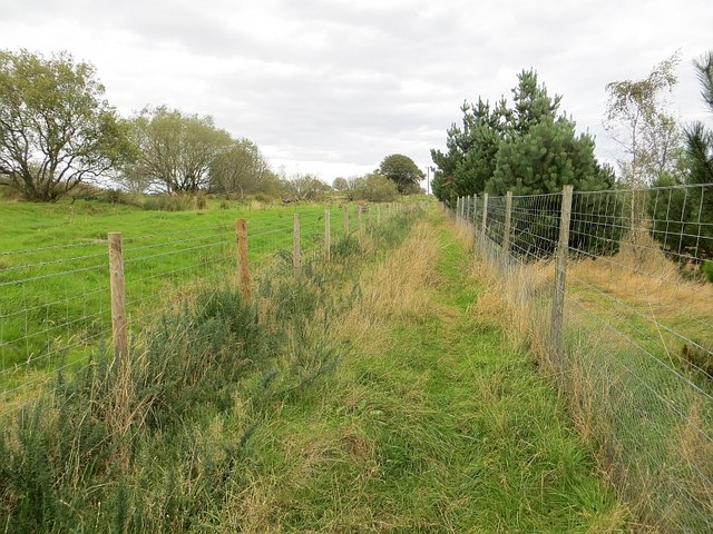
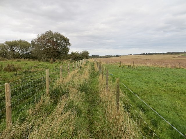
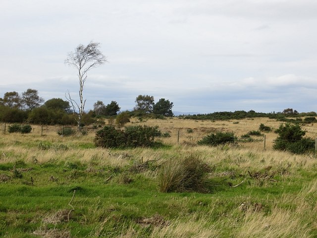
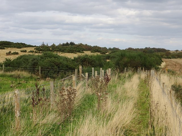
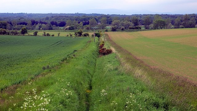
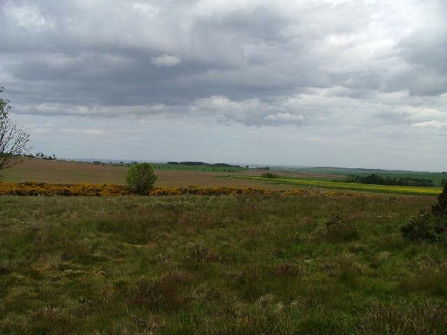
Fithie Wood, located in Angus, Scotland, is a remarkable woodland area that spans approximately 35 hectares. This ancient forest is renowned for its diverse range of flora and fauna, making it a popular destination for nature enthusiasts and hikers.

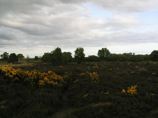
The wood is primarily composed of broadleaf trees, including oak, beech, birch, and ash, which create a dense and vibrant canopy overhead. These trees provide essential habitats for various bird species, such as woodpeckers, owls, and warblers, making Fithie Wood a birdwatcher's paradise.

Aside from its rich avian population, Fithie Wood is also home to an array of mammalian wildlife. Roe deer, red squirrels, badgers, and foxes can often be spotted within the forest's boundaries. The diverse ecosystem of the wood also supports a range of insects, including butterflies and beetles, adding to its ecological significance.

The woodland features several well-maintained trails and paths, allowing visitors to explore its beauty at their leisure. These paths wind through the forest, revealing breathtaking views of wildflowers, moss-covered rocks, and babbling brooks. As visitors traverse the wood, they may come across secluded clearings where they can rest and enjoy the tranquility of nature.

Fithie Wood is not only a haven for wildlife but also a place of historical importance. It is believed that the wood has been a natural landmark for centuries, with ancient remains and artifacts discovered in the area. These remnants serve as a testament to the enduring presence of humans in Fithie Wood throughout history.

Overall, Fithie Wood offers a captivating and immersive experience for those seeking to connect with nature, observe wildlife, and appreciate the beauty of a well-preserved ancient forest.

If you have any feedback on the listing, please let us know in the comments section below.
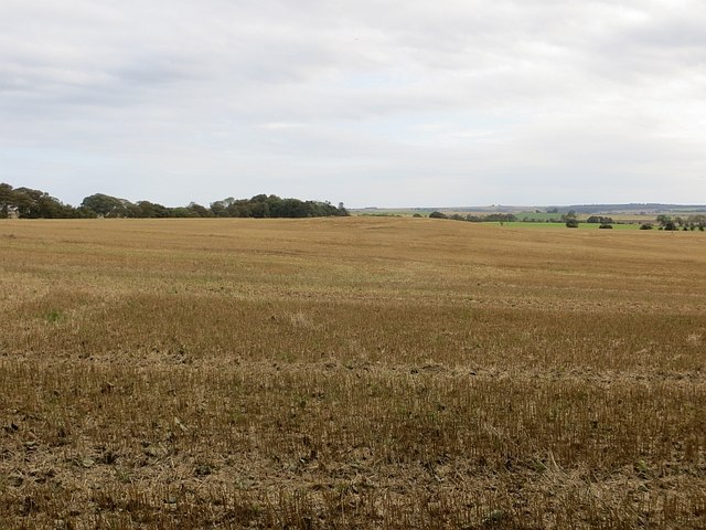
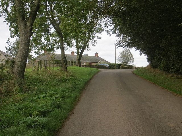
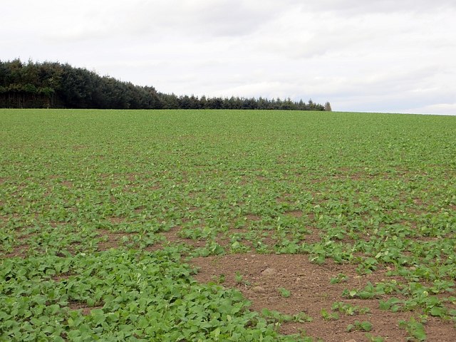
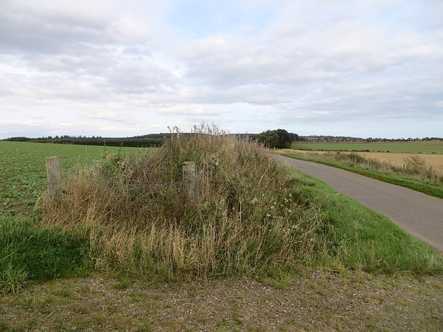
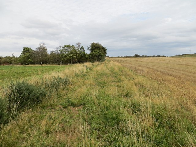
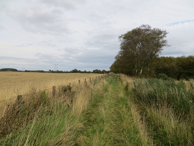
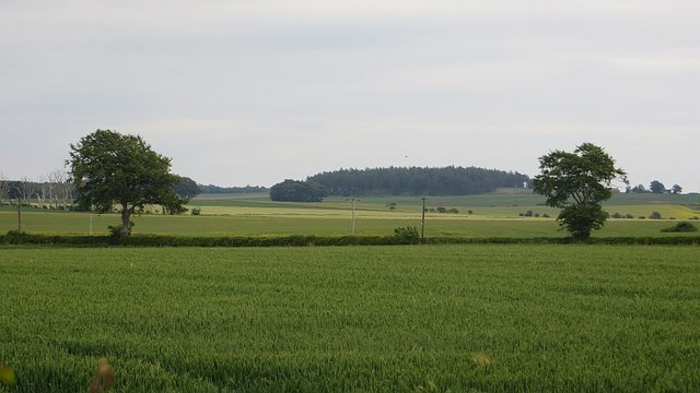
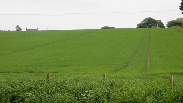
Fithie Wood Images

Images are sourced within 2km of 56.671224/-2.5891552 or Grid Reference NO6353. Thanks to Geograph Open Source API. All images are credited.

Stubble, Easter Braikie Hilltop arable.
Stubble, Easter Braikie
Hilltop arable.
Poole The top of a long gentle climb from Kinnell.
Poole
The top of a long gentle climb from Kinnell.
Oilseed rape, Wuddy Law The 2015 crop will sit quietly through the winter before rapid growth in the Spring.
Oilseed rape, Wuddy Law
The 2015 crop will sit quietly through the winter before rapid growth in the Spring.
New hedge, Wuddy Law A couple of parallel fences either side of a newly planted hedge.
New hedge, Wuddy Law
A couple of parallel fences either side of a newly planted hedge.
Path, Pamphry The western end of the path over Rossie Muir is now fenced in and rough. There is a realistic chance that it will become blocked by whins.  The original track is visible on the left, behind the barbed wire.
Path, Pamphry
The western end of the path over Rossie Muir is now fenced in and rough. There is a realistic chance that it will become blocked by whins. The original track is visible on the left, behind the barbed wire.
Path, Pamphry The western end of the path is now fenced in. It is perfectly usable as long as traffic keeps the whins at bay.
Path, Pamphry
The western end of the path is now fenced in. It is perfectly usable as long as traffic keeps the whins at bay.
Rossie Moor Whins and rough grazing, adjacent to a huge barley field.
Rossie Moor
Whins and rough grazing, adjacent to a huge barley field.
Path, Rossie Muir The eastern end of the annoying fenced in bit of the path. The section of path to the east is rather shut in by broom and gorse. I escaped to the barley stubble on the right.
Path, Rossie Muir
The eastern end of the annoying fenced in bit of the path. The section of path to the east is rather shut in by broom and gorse. I escaped to the barley stubble on the right.
Path, Rossie Moor This section is very different to the path at the western end. No fences here, just a rough track beside a huge arable field.
Path, Rossie Moor
This section is very different to the path at the western end. No fences here, just a rough track beside a huge arable field.
Track, Rossie Moor The eastern end is a bit more defined than the western end of the path. The route is unobstructed at the moment, and you can get through on horseback. However the whins and broom mean business, and the path needs more traffic to keep it open.
Track, Rossie Moor
The eastern end is a bit more defined than the western end of the path. The route is unobstructed at the moment, and you can get through on horseback. However the whins and broom mean business, and the path needs more traffic to keep it open.
Willanyards A wheat field.
Willanyards
A wheat field.
Fields, Whanland A lot of bare earth and this is probably a daffodil field. Daffs are a popular crop in Angus.
Fields, Whanland
A lot of bare earth and this is probably a daffodil field. Daffs are a popular crop in Angus.
A934, Whanland The road running south of Montrose Basin. Quiet for a red road.
A934, Whanland
The road running south of Montrose Basin. Quiet for a red road.
Tramlines Arable land at Farnell, Angus.  Rain is coming and caught me at Montrose.
Tramlines
Arable land at Farnell, Angus. Rain is coming and caught me at Montrose.
Ditch, Carcary Any stock proof boundary has long gone, it's all arable here now. The Caledonian Railway's route to Aberdeen can be seen in the background.
Ditch, Carcary
Any stock proof boundary has long gone, it's all arable here now. The Caledonian Railway's route to Aberdeen can be seen in the background.
Rossie Moor
Rossie Moor
Rossie Moor
Rossie Moor
Trees Trees with a view. 1.5km S.E. of Farnell across the A934 overlooking Strathmore
to the Hills of Wirren
Trees
Trees with a view. 1.5km S.E. of Farnell across the A934 overlooking Strathmore to the Hills of Wirren
Show me another place!

Fithie Wood is located at Grid Ref: NO6353 (Lat: 56.671224, Lng: -2.5891552)

Unitary Authority: Angus

Police Authority: Tayside

What 3 Words

///hint.scrub.scale. Near Friockheim, Angus

Nearby Locations

Fithie Wood

Related Wikis

Farnell Road railway station

Farnell Road railway station served the village of Farnell, Angus, Scotland from 1848 to 1956 on the Aberdeen Railway. == History == The station opened...

Farnell, Angus

Farnell is a village in Angus, Scotland. It lies 2 miles south of the River South Esk, between Brechin and Montrose, near Kinnaird Castle. == References ==
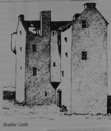
Braikie Castle

Braikie Castle is a late 16th century Scottish tower house, midway between Arbroath and Brechin, east of the village of Friockheim in the parish of Kinnell...

Kinnaird Castle, Brechin

Kinnaird Castle is a 15th-century castle near Brechin in Angus, Scotland. The castle has been home to the Carnegie family, the Earls of Southesk, for more...

Nearby Amenities

Located within 500m of 56.671224,-2.5891552
Power: pole
Lat/Long: 56.6736519/-2.5823689
Power: pole
Lat/Long: 56.6730939/-2.5829192
Power: pole
Lat/Long: 56.6724761/-2.5835215
Power: pole
Lat/Long: 56.6718104/-2.5831767
Power: pole
Lat/Long: 56.6711394/-2.5828531
Power: pole
Lat/Long: 56.67034/-2.5824586
Power: pole
Lat/Long: 56.669682/-2.5821397
The data included in this document is from www.openstreetmap.org. The data is made available under ODbL.

Have you been to Fithie Wood?

Leave your review of Fithie Wood below (or comments, questions and feedback).