Smiddie Wood

Wood, Forest in Angus

Scotland

Smiddie Wood

Old filling station
Old filling station Credit: Ralph Greig

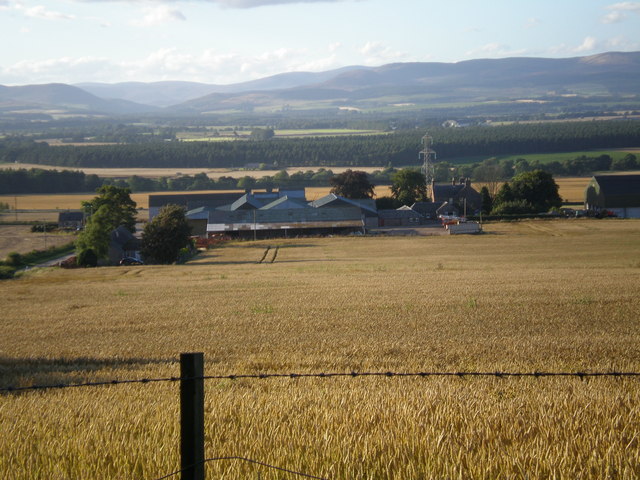
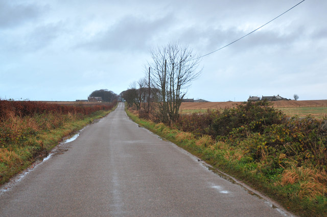
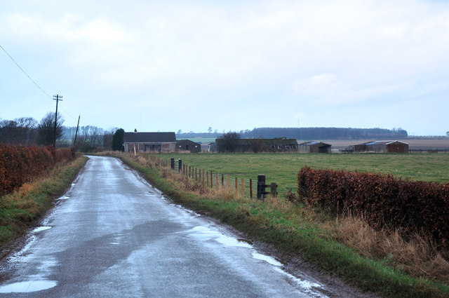
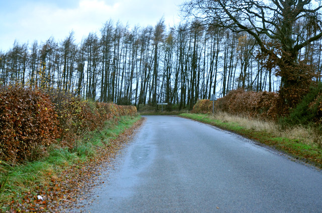
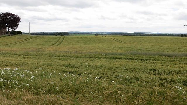
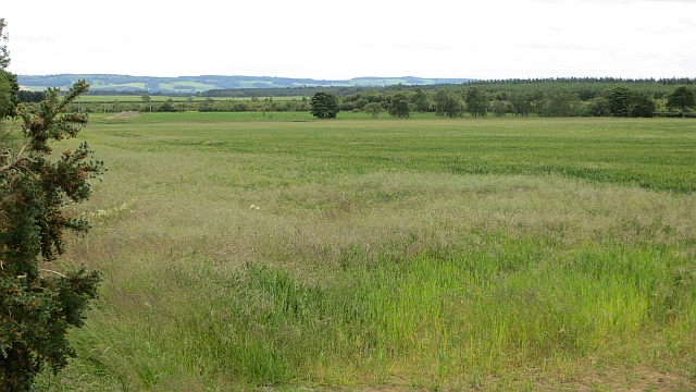
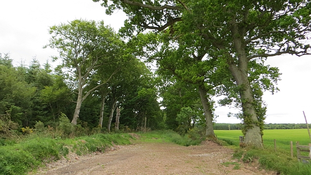
Smiddie Wood, located in Angus, Scotland, is a picturesque forest renowned for its natural beauty and diverse ecosystem. Spanning an area of approximately 100 acres, this woodland is a haven for flora and fauna and a popular destination for nature enthusiasts.

The forest is characterized by its dense canopy of mature trees, predominantly consisting of native species such as oak, birch, and rowan. These towering trees provide ample shade and create a tranquil and serene atmosphere within the wood. The forest floor is blanketed with a myriad of wildflowers, mosses, and ferns, adding to the natural charm of the area.

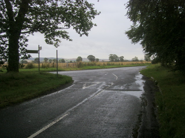
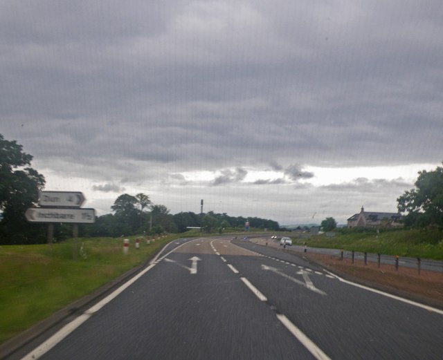
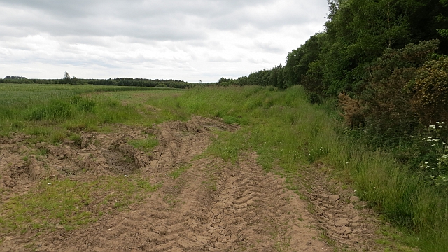
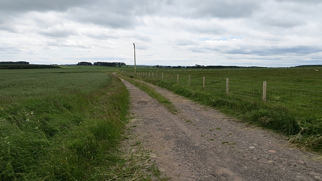
The woodland is crisscrossed by a network of well-maintained trails, allowing visitors to explore the area on foot. These paths wind through the forest, leading to various points of interest, including a small stream that meanders through the wood, enhancing the scenic beauty of the surroundings. The abundance of wildlife in Smiddie Wood is also a major attraction. Visitors may spot native Scottish species such as red squirrels, deer, and a variety of bird species, making it a haven for birdwatchers and wildlife enthusiasts.

Smiddie Wood is not only a natural treasure but also holds historical significance. It is believed that the forest has been in existence for centuries and has witnessed the passing of time. The wood has been managed sustainably, striking a balance between preserving its natural beauty and allowing public access for recreational purposes.

With its enchanting landscape and rich biodiversity, Smiddie Wood offers a captivating experience for those seeking a peaceful retreat in the heart of nature.

If you have any feedback on the listing, please let us know in the comments section below.

Smiddie Wood Images

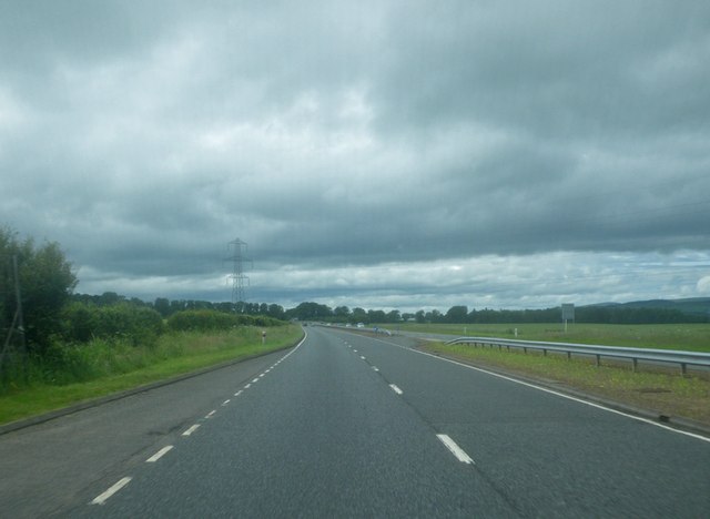
Images are sourced within 2km of 56.765722/-2.5917311 or Grid Reference NO6363. Thanks to Geograph Open Source API. All images are credited.

Old filling station
Old filling station
Field and trees The view is from the southbound travel lane of A90. One can see the left portion of a turnoff notice for the Stracathro Hospital, whose turnoff is on the left, even though the actual hospital site is on the right, requiring the motorist to negotiate a crossing of the A90 after his turnoff.
Field and trees
The view is from the southbound travel lane of A90. One can see the left portion of a turnoff notice for the Stracathro Hospital, whose turnoff is on the left, even though the actual hospital site is on the right, requiring the motorist to negotiate a crossing of the A90 after his turnoff.
Junction with the road to Hillside Road from Hill of Stracathro junction with the road to Hillside
Junction with the road to Hillside
Road from Hill of Stracathro junction with the road to Hillside
Brae of Pert farm and Sidlaw Hills
Sign to Brae of Pert farm Taken from the A90.
Sign to Brae of Pert farm
Taken from the A90.
Approaching the Stracathro service area from the south on A90
Brooding sky over the A90
Minor road near Ballochy
Wartime buildings near Stracathro
Road junction near Stracathro
Stracathro Services Trailers parked at Stracathro Services on the A90. The three trailers on the left appear to be transporting three sections of a fighter-aircraft. On the right hand is parked a   lorry belonging to British Gas.
Stracathro Services
Trailers parked at Stracathro Services on the A90. The three trailers on the left appear to be transporting three sections of a fighter-aircraft. On the right hand is parked a lorry belonging to British Gas.
Barley, Huntly Hill
Barley, Huntly Hill
Field beside Huntly Wood Dried out ruts in a very fine Summer.
Field beside Huntly Wood
Dried out ruts in a very fine Summer.
Barley, Hill of Stracathro
Farm track Track heading towards the site of RAF Stracathro
Farm track
Track heading towards the site of RAF Stracathro
Muir of Pert Edge of the woodland which covers much of Muir of Pert.
Muir of Pert
Edge of the woodland which covers much of Muir of Pert.
Oats, Hill of Stracathro
Brickwork and Berries Red berries on cotoneasters growing outside a wartime block at Stracathro Hospital.
Brickwork and Berries
Red berries on cotoneasters growing outside a wartime block at Stracathro Hospital.
Show me another place!

Smiddie Wood is located at Grid Ref: NO6363 (Lat: 56.765722, Lng: -2.5917311)

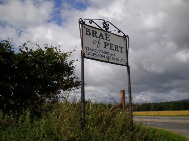
Unitary Authority: Angus

Police Authority: Tayside

What 3 Words

///steroids.declines.astounded. Near Brechin, Angus

Related Wikis

Stracathro Hospital

Stracathro Hospital is a community hospital in Angus, Scotland. Established as a wartime Emergency Hospital Service facility during the Second World War...

Stracathro

Stracathro (Scottish Gaelic: Srath Catharach) is a small place in Angus, Scotland. It was the site of a Roman marching camp as their forces invaded to...

Inglismaldie Castle

Inglismaldie Castle is a castle in the parish of Marykirk and the county of Kincardineshire, Scotland. == History == The Tower House was built in 1636...

Luther Water

Luther Water is a generally southerly flowing river in Aberdeenshire, Scotland that discharges into the River North Esk. == Course == The watercourse rises...

Nearby Amenities

Located within 500m of 56.765722,-2.5917311
Power: pole
Lat/Long: 56.7659377/-2.5989935
Power: pole
Lat/Long: 56.7663125/-2.5977758
Power: pole
Lat/Long: 56.766683/-2.5964776
Power: pole
Lat/Long: 56.7670365/-2.5953631
Power: pole
Lat/Long: 56.7673569/-2.5941414
Power: pole
Lat/Long: 56.7676215/-2.5931892
Power: pole
Lat/Long: 56.7679258/-2.5920627
Power: pole
Lat/Long: 56.7679817/-2.590908
Power: pole
Lat/Long: 56.7679074/-2.5894153
Power: pole
Lat/Long: 56.7679104/-2.5880045
Power: pole
Lat/Long: 56.7679559/-2.5870228
Power: pole
Lat/Long: 56.7680045/-2.5861242
Power: pole
Lat/Long: 56.7680677/-2.5850487
Muir of Pert Croft
Place: isolated_dwelling
Lat/Long: 56.7682611/-2.5874845
Generator Method: wind_turbine
Generator Source: wind
Power: generator
Lat/Long: 56.7675347/-2.5983569
Power: pole
Lat/Long: 56.7699572/-2.5924234
Power: pole
Lat/Long: 56.7693379/-2.5920222
Power: pole
Lat/Long: 56.7687788/-2.5916469
Power: pole
Lat/Long: 56.7681464/-2.5912328
Power: pole
Lat/Long: 56.7678025/-2.5907799
Power: pole
Lat/Long: 56.7671547/-2.5905836
Power: pole
Lat/Long: 56.7665259/-2.5904046
Power: pole
Lat/Long: 56.7659077/-2.5902235
Power: pole
Lat/Long: 56.7652374/-2.5906225
Power: pole
Lat/Long: 56.7645672/-2.5910452
Power: pole
Lat/Long: 56.7638934/-2.5914377
Power: pole
Lat/Long: 56.7631959/-2.5918777
Power: pole
Lat/Long: 56.7624748/-2.5923026
Power: pole
Lat/Long: 56.7618849/-2.5924709
Power: pole
Lat/Long: 56.761276/-2.592665
The data included in this document is from www.openstreetmap.org. The data is made available under ODbL.

Have you been to Smiddie Wood?

Leave your review of Smiddie Wood below (or comments, questions and feedback).