Lanton Moor
Wood, Forest in Roxburghshire
Scotland
Lanton Moor
The requested URL returned error: 429 Too Many Requests
If you have any feedback on the listing, please let us know in the comments section below.
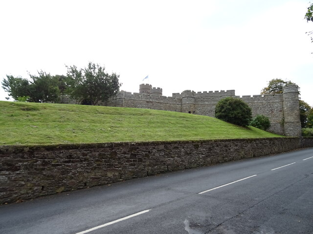
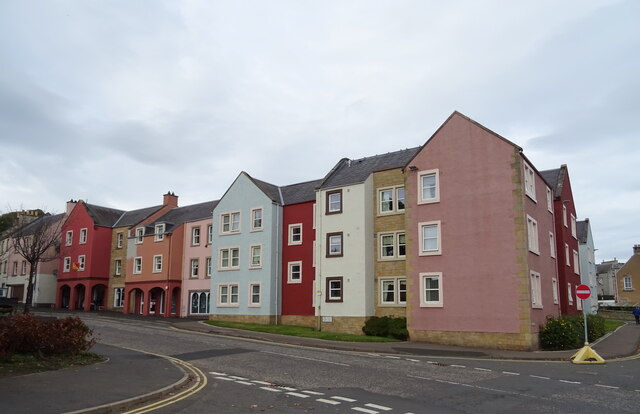
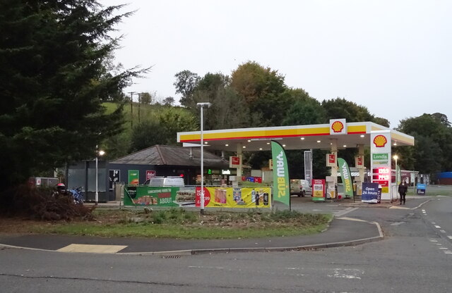
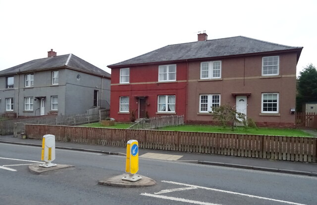
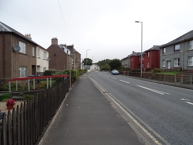
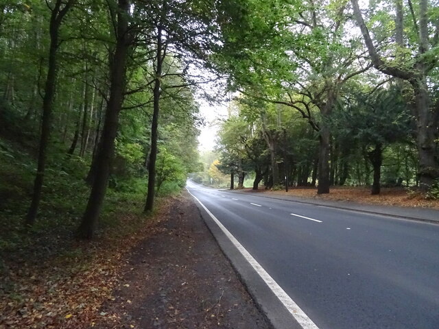
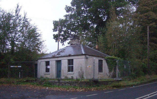
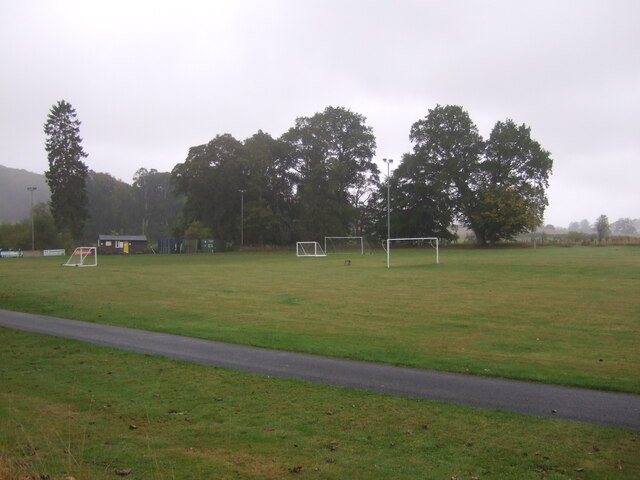
Lanton Moor Images
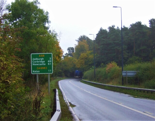
Images are sourced within 2km of 55.489121/-2.5738177 or Grid Reference NT6321. Thanks to Geograph Open Source API. All images are credited.


Lanton Moor is located at Grid Ref: NT6321 (Lat: 55.489121, Lng: -2.5738177)
Unitary Authority: The Scottish Borders
Police Authority: The Lothians and Scottish Borders
What 3 Words
///drizzly.cocoons.cooks. Near Jedburgh, Scottish Borders
Nearby Locations
Related Wikis

Timpendean Tower
Timpendean Tower (tim-pen-deen) or Typenden Castle as it was once known, is a ruined 15th-century tower house near Lanton, around 1.5 miles (2.4 km) north...

St John's Church, Jedburgh
St John's Church is a Scottish Episcopal church (part of the Anglican communion) in Jedburgh. It was founded by Cecil Chetwynd Kerr, Marchioness of Lothian...

Port House
The Port House is a Scottish class A listed building in the centre of Jedburgh. The Jedburgh Co-operative Store Company had been founded in 1866 and it...

Jedburgh Grammar School
Jedburgh Grammar School is a state secondary school in Jedburgh, Scotland, with around 440 pupils, 40 teaching staff, and 15 non-teaching staff. ��2�...
Have you been to Lanton Moor?
Leave your review of Lanton Moor below (or comments, questions and feedback).