Dukes Strip

Wood, Forest in Roxburghshire

Scotland

Dukes Strip

Path by Jedburgh Golf Course The path is part of the Circular Riding Route and follows the golf course boundary towards Lanton Hill.
Path by Jedburgh Golf Course Credit: Jim Barton

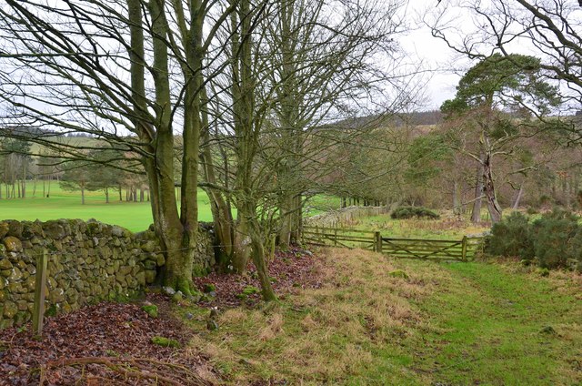
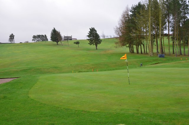
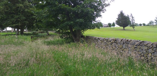
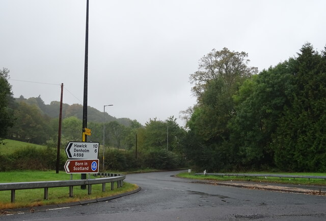
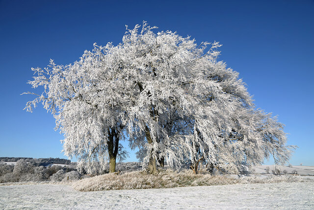
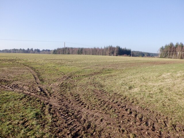
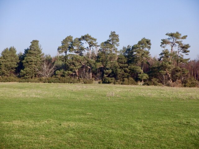
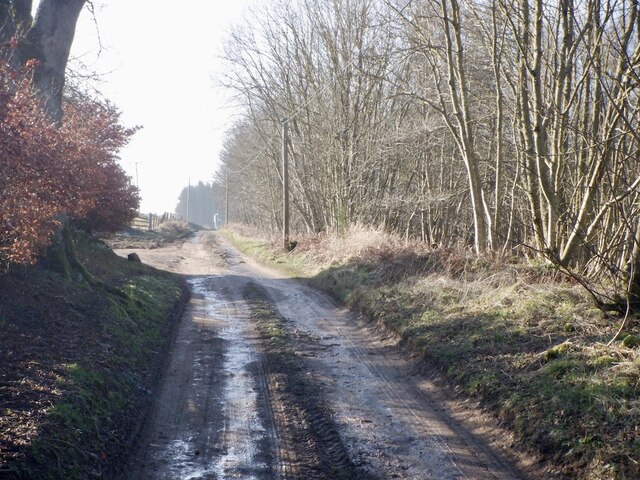
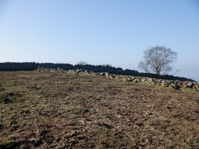
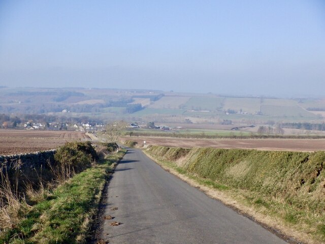
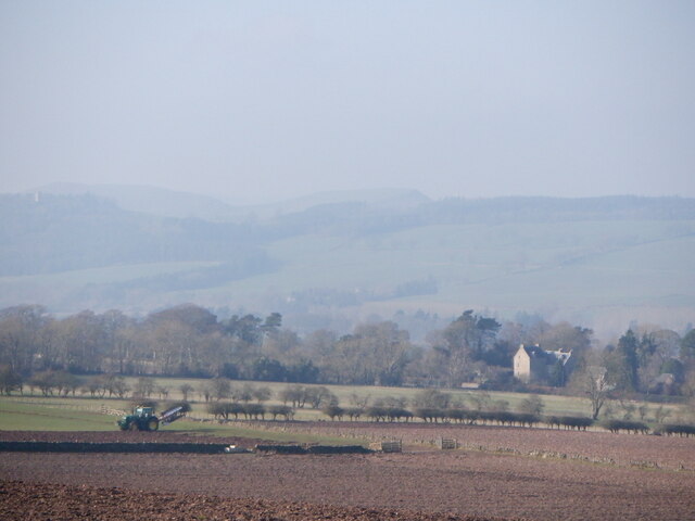
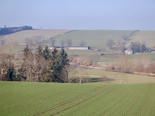
Dukes Strip, located in Roxburghshire, is a picturesque woodland area known for its dense forest cover and natural beauty. Situated in the southern part of Scotland, this wood is a popular destination for nature enthusiasts and hikers alike.

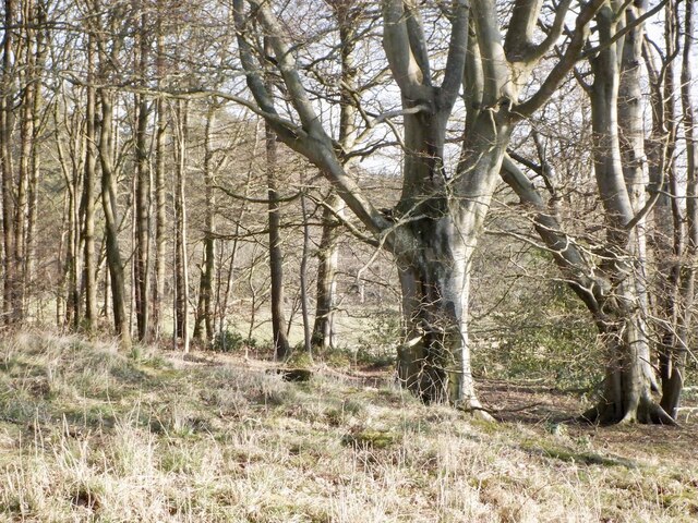
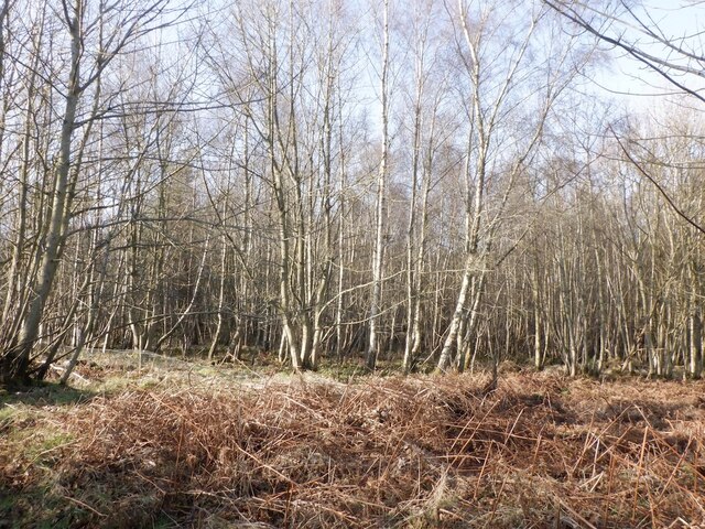
The forest is named after the Duke of Roxburgh, who owned the land in the past. Spanning over a vast area, the wood features a diverse range of tree species, including oak, beech, pine, and birch. The dense foliage creates a serene and tranquil atmosphere, offering a perfect escape from the hustle and bustle of city life.

Dukes Strip is home to an array of wildlife, providing a habitat for numerous species. Visitors may be lucky enough to spot red squirrels, roe deer, and a variety of bird species, including woodpeckers and owls. The forest also boasts a rich ecosystem of plants and wildflowers, adding vibrant colors to the landscape during spring and summer.

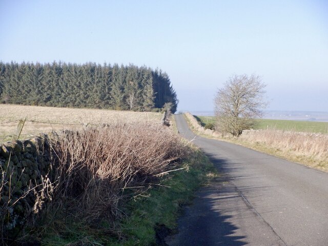
For outdoor enthusiasts, Dukes Strip offers an extensive network of trails, perfect for exploring the wood's natural wonders. These trails cater to all levels of fitness and provide opportunities for hiking, walking, or even mountain biking. The well-maintained paths offer stunning views of the surrounding countryside, making it a delightful experience for nature lovers and photographers.

Overall, Dukes Strip in Roxburghshire is an enchanting woodland area, offering a serene escape into nature's embrace. With its diverse flora and fauna, well-marked trails, and breathtaking scenery, it is a must-visit destination for anyone seeking tranquility and natural beauty.

If you have any feedback on the listing, please let us know in the comments section below.

Dukes Strip Images

Images are sourced within 2km of 55.488076/-2.583804 or Grid Reference NT6321. Thanks to Geograph Open Source API. All images are credited.

Path by Jedburgh Golf Course The path is part of the Circular Riding Route and follows the golf course boundary towards Lanton Hill.
Path by Jedburgh Golf Course
The path is part of the Circular Riding Route and follows the golf course boundary towards Lanton Hill.
Jedburgh Golf Course Looking back up to the clubhouse from the Circular Riding Route.
Jedburgh Golf Course
Looking back up to the clubhouse from the Circular Riding Route.
Footpath next to Jedburgh Golf Club The footpath which runs along beside Jedburgh Golf Club.
Footpath next to Jedburgh Golf Club
The footpath which runs along beside Jedburgh Golf Club.
A698 towards Hawick Junction with the A68.
A698 towards Hawick
Junction with the A68.
Old milestone A view to the north east along the A698 towards Jedburgh.   The milestone, Jedburgh 4, is near a small copse and Timpendean is in the distance on the left behind the hedge.   Now in The Borders administrative area, this was Roxburghshire prior to the 1970s.
Old milestone
A view to the north east along the A698 towards Jedburgh. The milestone, Jedburgh 4, is near a small copse and Timpendean is in the distance on the left behind the hedge. Now in The Borders administrative area, this was Roxburghshire prior to the 1970s.
Old milestone The 4 mile stone on the A698 is leaning a little more than it was in 2009 together with the fence behind it.   This stone is the solid D shape as seen in the view of it along the road.
Old milestone
The 4 mile stone on the A698 is leaning a little more than it was in 2009 together with the fence behind it. This stone is the solid D shape as seen in the view of it along the road.
Frosted trees at Lanton For a view of the trees taken in October 2014, see <a href="https://www.geograph.org.uk/photo/4222548">NT6122 : A small hardwood stand at Lanton</a>.
Frosted trees at Lanton
For a view of the trees taken in October 2014, see NT6122 : A small hardwood stand at Lanton.
Woodland, Tudhope Taking a break from the wall that is Lanton Road, a very steep exit from Jedburgh.
Woodland, Tudhope
Taking a break from the wall that is Lanton Road, a very steep exit from Jedburgh.
Field on Lanton Hill During a dry spell.
Field on Lanton Hill
During a dry spell.
Field, Lanton Moor View towards the large area of woodland on Lanton Moor.
Field, Lanton Moor
View towards the large area of woodland on Lanton Moor.
Jedburgh to Lanton Road Crossing Lanton Hill.
Jedburgh to Lanton Road
Crossing Lanton Hill.
Duke's Covert Birch wood on Lanton Hill. There are conifers further in.
Duke's Covert
Birch wood on Lanton Hill. There are conifers further in.
Road on Lanton Hill Access to a farm and two other houses.
Road on Lanton Hill
Access to a farm and two other houses.
Summit, Lanton Hill Like Dunion nearby, the higher parts of Lanton Hill has exposures of igneous rock, a dolerite used to build the dykes. A sharp contrast to the smooth fields on the surrounding sandstones.
Summit, Lanton Hill
Like Dunion nearby, the higher parts of Lanton Hill has exposures of igneous rock, a dolerite used to build the dykes. A sharp contrast to the smooth fields on the surrounding sandstones.
Descent to Lanton Hazy light due to southerly winds laden with Sahara dust.
Descent to Lanton
Hazy light due to southerly winds laden with Sahara dust.
Ploughing, Lanton
Ploughing, Lanton
Lanton Community Garden The telephone has been removed from the box.
Lanton Community Garden
The telephone has been removed from the box.
Teviotdale near Lanton Arable land with the river in the distance.
Teviotdale near Lanton
Arable land with the river in the distance.
Show me another place!

Dukes Strip is located at Grid Ref: NT6321 (Lat: 55.488076, Lng: -2.583804)

Unitary Authority: The Scottish Borders

Police Authority: The Lothians and Scottish Borders

What 3 Words

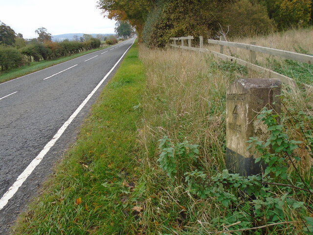
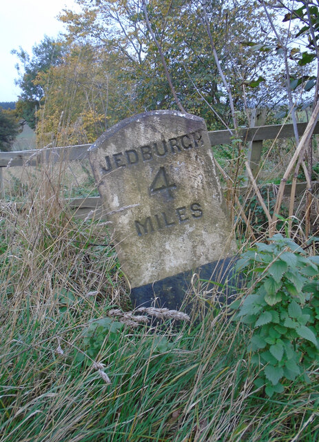
///baseballs.mashing.panicking. Near Jedburgh, Scottish Borders

Nearby Locations

Dukes Strip Lanton Moor

Related Wikis

Timpendean Tower

Timpendean Tower (tim-pen-deen) or Typenden Castle as it was once known, is a ruined 15th-century tower house near Lanton, around 1.5 miles (2.4 km) north...

Lanton, Scottish Borders

Lanton is a village in the Scottish Borders area of Scotland, near Jedburgh and Timpendean Tower, off the A698. == See also == List of places in the Scottish...

Lanton Tower

Lanton Tower is a 16th-century tower house, about 2.0 miles (3.2 km) northwest of Jedburgh, Scottish Borders, Scotland, at Lanton. == History == In 1513...

Ale Water

The Ale Water is a tributary of the River Teviot, in the Scottish Borders area of Scotland. It rises at Henwoodie Hill and flows through Alemoor Loch....

Nearby Amenities

Located within 500m of 55.488076,-2.583804
Power: pole
Source: Bing
Lat/Long: 55.4899631/-2.5871588
Power: pole
Source: Bing
Lat/Long: 55.4905414/-2.587846
Power: pole
Source: Bing
Lat/Long: 55.4911441/-2.5885331
Power: pole
Lat/Long: 55.4894239/-2.5865111
Power: pole
Lat/Long: 55.4888918/-2.585885
Power: pole
Lat/Long: 55.4883554/-2.5852691
Power: pole
Lat/Long: 55.4877526/-2.5845412
Power: pole
Lat/Long: 55.4870561/-2.5837369
Power: pole
Lat/Long: 55.4864072/-2.582981
Power: pole
Lat/Long: 55.4858088/-2.5822939
Power: pole
Lat/Long: 55.4852276/-2.5816118
Power: pole
Lat/Long: 55.4847459/-2.581062
Power: pole
Lat/Long: 55.4840537/-2.5802578
The data included in this document is from www.openstreetmap.org. The data is made available under ODbL.

Have you been to Dukes Strip?

Leave your review of Dukes Strip below (or comments, questions and feedback).