Downlaw Plantation

Wood, Forest in Roxburghshire

Scotland

Downlaw Plantation

Farm track near Pirnie
Farm track near Pirnie Credit: JThomas

The requested URL returned error: 429 Too Many Requests

If you have any feedback on the listing, please let us know in the comments section below.

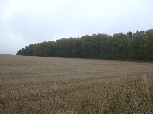
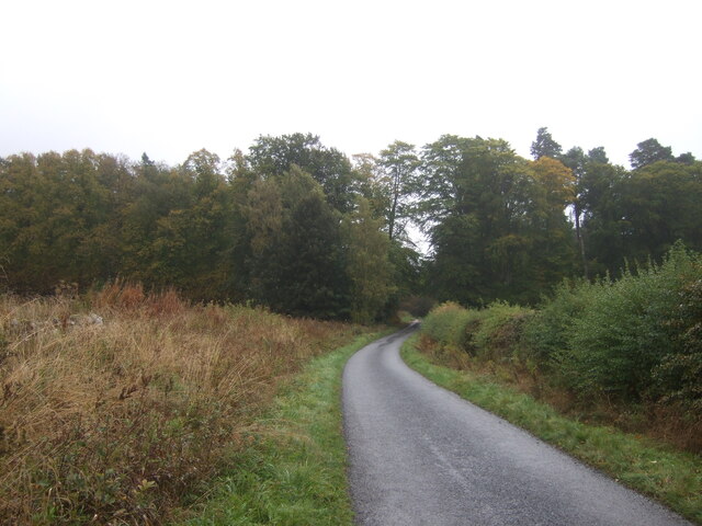
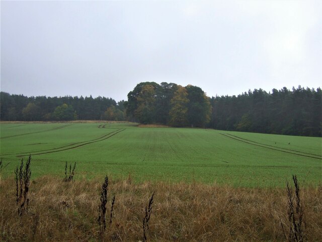
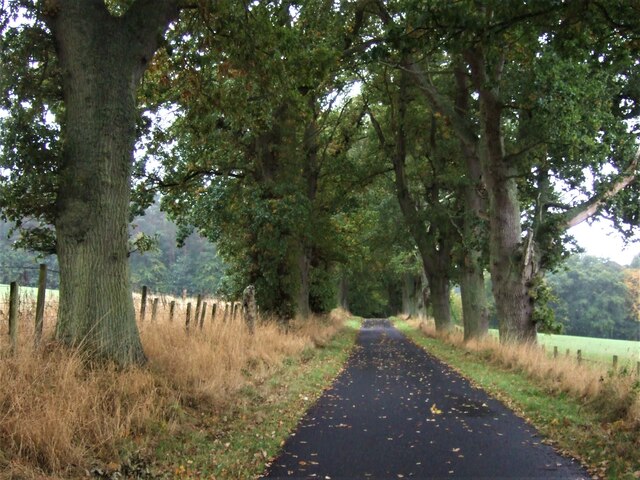
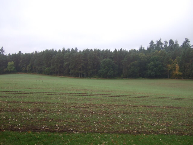
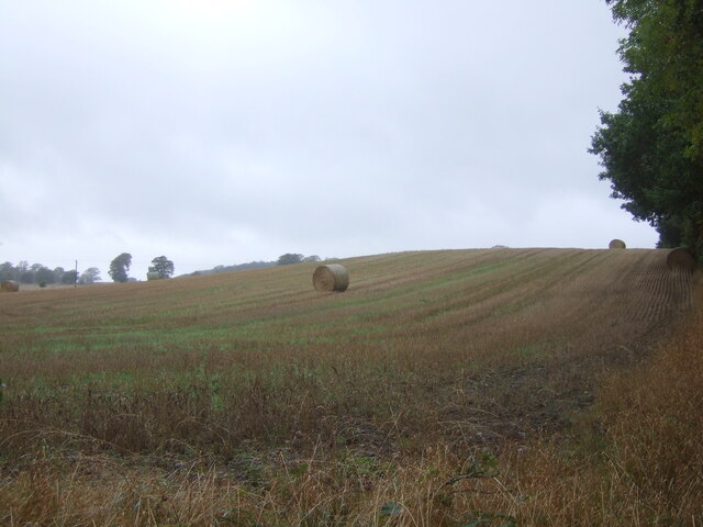
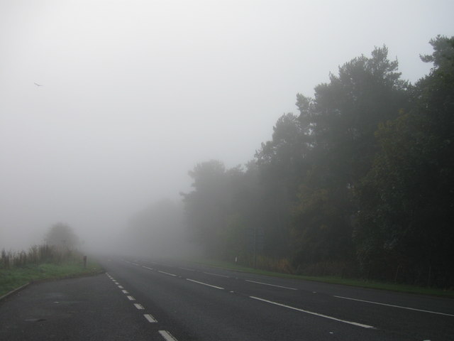
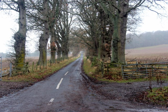
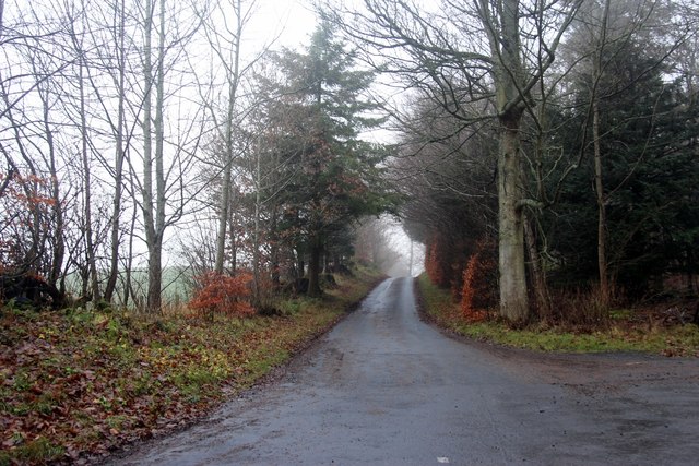
Downlaw Plantation Images

Images are sourced within 2km of 55.533218/-2.5746658 or Grid Reference NT6326. Thanks to Geograph Open Source API. All images are credited.

Farm track near Pirnie
Grazing near Pirnie
Grazing near Pirnie
Minor road near Pirnie Towards Fairnington.
Minor road near Pirnie
Towards Fairnington.
Ploughed field near Fairnington Towards Major's Plantation.
Ploughed field near Fairnington
Towards Major's Plantation.
Ploughed field near Fairnington Towards distant woodland and the Waterloo Monument on Peniel Heugh.
Ploughed field near Fairnington
Towards distant woodland and the Waterloo Monument on Peniel Heugh.
Minor road Fairnington
Prepared field and woodland near Fairnington
Minor beside woodland near Fairnington Towards Muirhouselaw.
Minor beside woodland near Fairnington
Towards Muirhouselaw.
Stubble field and woodland, Under Snipecleuch
Minor road into woodland, Under Snipecleuch
Winter cereal crop and woodland near Woodside
Minor road towards the B6400 With sturdy roadside trees to catch the idiot drivers.
Minor road towards the B6400
With sturdy roadside trees to catch the idiot drivers.
Emerging crop towards The Moor woodland Looking down a valley.
Emerging crop towards The Moor woodland
Looking down a valley.
Stubble field and bales, Teviotdale Off the B6400.
Stubble field and bales, Teviotdale
Off the B6400.
Ordnance Survey Cut Mark This OS cut mark can be found on the Waterloo Monument. It marks a point 238.107m above mean sea level.
Ordnance Survey Cut Mark
This OS cut mark can be found on the Waterloo Monument. It marks a point 238.107m above mean sea level.
A68 lay-by
A68 lay-by
Minor road leading to Maxton
Road to Monteviot wood school
Show me another place!

Downlaw Plantation is located at Grid Ref: NT6326 (Lat: 55.533218, Lng: -2.5746658)

Unitary Authority: The Scottish Borders

Police Authority: The Lothians and Scottish Borders

What 3 Words

///dined.moved.backpacks. Near Jedburgh, Scottish Borders

Nearby Locations

Downlaw Plantation

Related Wikis

Peniel Heugh

Peniel Heugh (237 m) is a hill near Ancrum and Nisbet in the Scottish Borders area of Scotland. On it stands the Waterloo Monument. == Geology == The heugh...

Waterloo Monument

The Waterloo Monument near Ancrum in the Scottish Borders is a 150-foot tower, built between 1817 and 1824 to commemorate the Battle of Waterloo. It was...

Battle of Ancrum Moor

The Battle of Ancrum Moor was fought during the War of the Rough Wooing in 1545. The Scottish victory put a temporary end to English incursions in the...

Monteviot House

Monteviot House is the early 18th century home of the Marquess of Lothian, the politician better known as Michael Ancram. It is located on the River Teviot...

Nearby Amenities

Located within 500m of 55.533218,-2.5746658
Down Law
Natural: peak
Lat/Long: 55.533538/-2.576599
The data included in this document is from www.openstreetmap.org. The data is made available under ODbL.

Have you been to Downlaw Plantation?

Leave your review of Downlaw Plantation below (or comments, questions and feedback).