Boglouster Wood

Wood, Forest in Aberdeenshire

Scotland

Boglouster Wood

Harvested field near Moss-side Harvested field viewed north-eastwards from the road at Moss-side.
Harvested field near Moss-side Credit: Scott Cormie

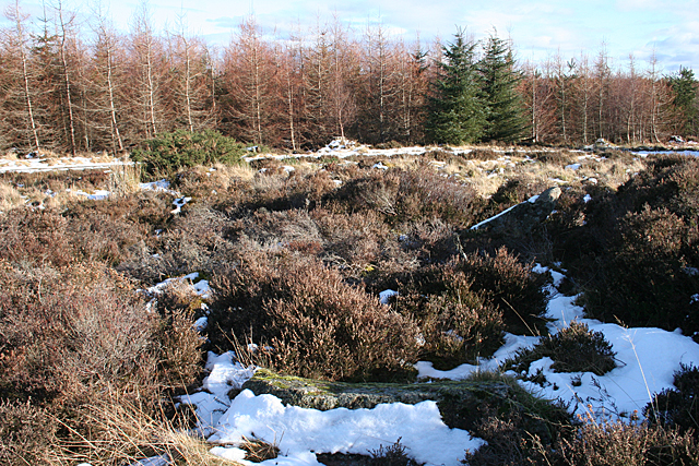
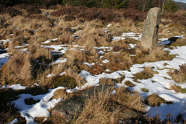
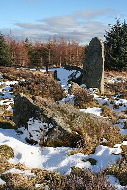
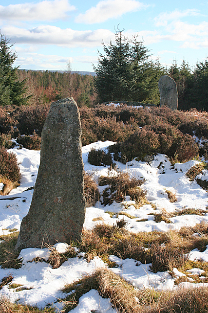
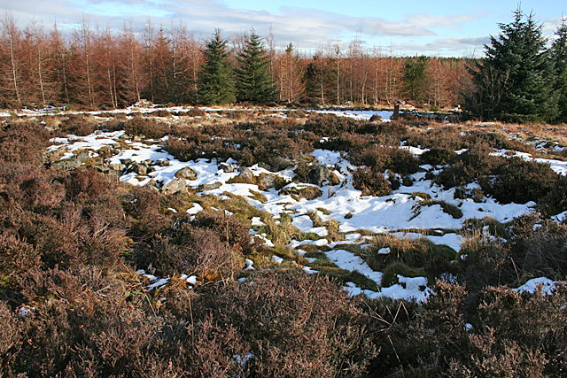
Boglouster Wood is a picturesque forest located in Aberdeenshire, Scotland. Covering an area of approximately 500 acres, this woodland is known for its diverse range of flora and fauna, making it a popular destination for nature enthusiasts and hikers alike.

The wood is primarily composed of native tree species such as oak, birch, and pine, which create a lush and vibrant environment throughout the seasons. The towering trees provide a canopy overhead, casting dappled sunlight on the forest floor and creating a serene and peaceful atmosphere.

Walking trails wind their way through Boglouster Wood, offering visitors the opportunity to explore and appreciate the natural beauty of the area. Along these trails, one can discover a variety of wildlife, including deer, squirrels, and numerous bird species. Birdwatchers will be particularly delighted by the presence of rare and elusive species such as the capercaillie and the Scottish crossbill.

The forest is also home to a diverse range of plant life, including wildflowers, ferns, and mosses, adding bursts of color and texture to the woodland floor. In springtime, the forest comes alive with a vibrant display of bluebells and primroses, creating a breathtaking sight.

Boglouster Wood is well-maintained, with picnic areas and benches scattered throughout, allowing visitors to relax and enjoy the peaceful surroundings. It is a truly idyllic spot for those seeking tranquility and a connection with nature.

In summary, Boglouster Wood is a charming and enchanting forest in Aberdeenshire, Scotland. With its diverse range of flora and fauna, well-maintained trails, and serene atmosphere, it offers a delightful experience for anyone seeking to immerse themselves in the beauty of nature.

If you have any feedback on the listing, please let us know in the comments section below.

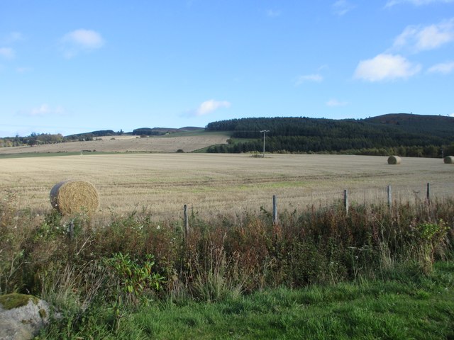
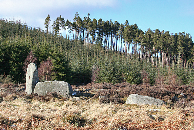
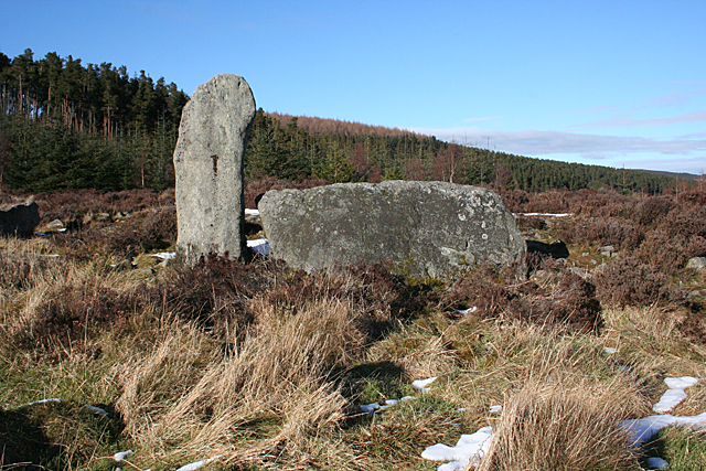
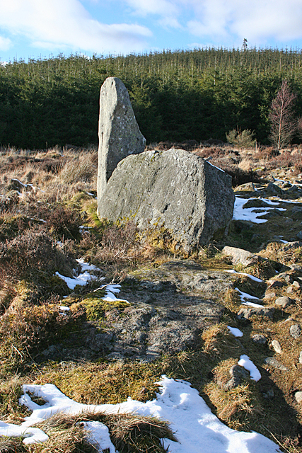
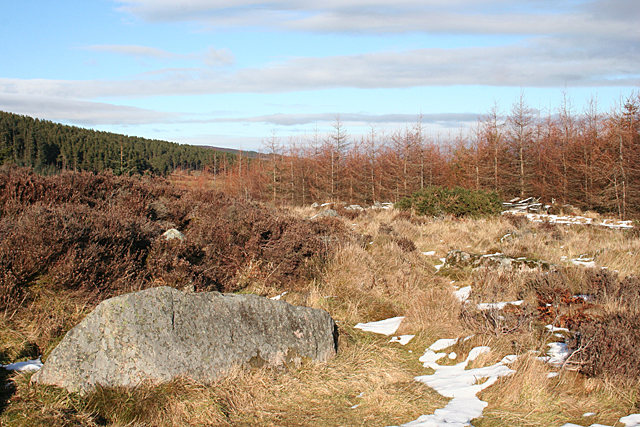
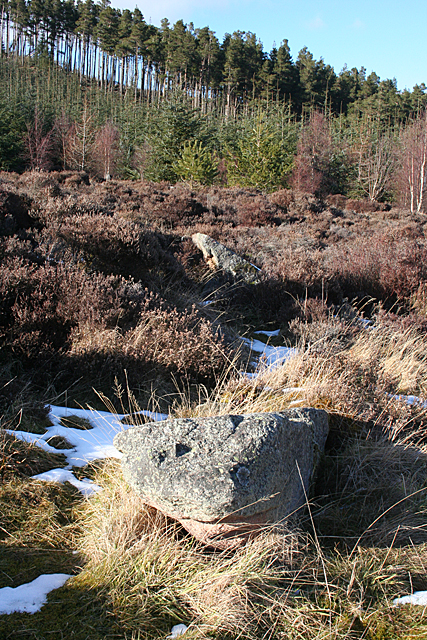
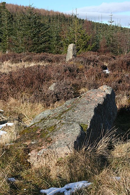
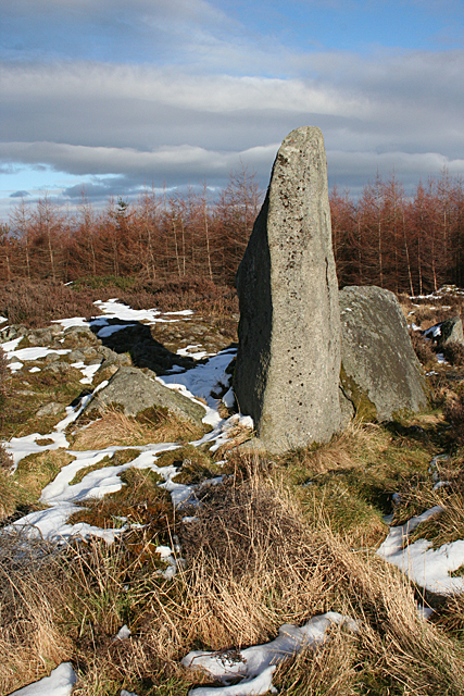
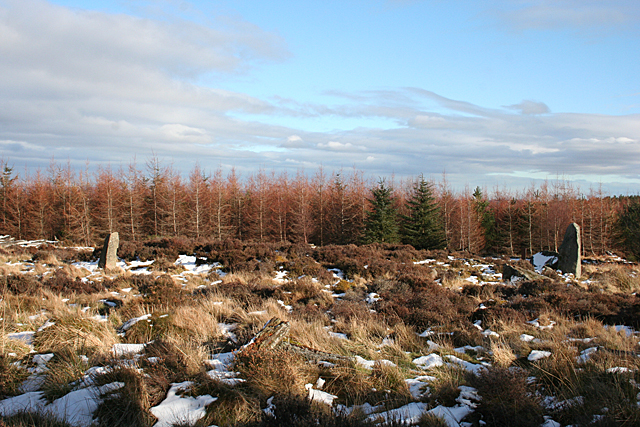
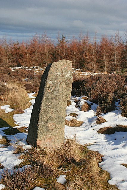
Boglouster Wood Images

Images are sourced within 2km of 57.212206/-2.6126349 or Grid Reference NJ6313. Thanks to Geograph Open Source API. All images are credited.

Harvested field near Moss-side Harvested field viewed north-eastwards from the road at Moss-side.
Harvested field near Moss-side
Harvested field viewed north-eastwards from the road at Moss-side.
Cottages at Torries Cottages by the north side of the narrow minor road at Torries.
Cottages at Torries
Cottages by the north side of the narrow minor road at Torries.
The church at Kirkton of Tough
Nether Edindurno Farm buildings by A944 near Whitehouse.
Nether Edindurno
Farm buildings by A944 near Whitehouse.
Tillyfourie Recumbent Stone Circle (1) Just to confuse people, this circle is signposted as Whitehill Stone Circle, and also so named in the 'Stone Circle Trail' leaflet published in 2014. I am sticking to the name used by the Royal Commission on the Ancient and Historical Monuments of Scotland, now part of Historic Environment Scotland. See <span class="nowrap"><a title="https://canmore.org.uk/site/18074/tillyfourie" rel="nofollow ugc noopener" href="https://canmore.org.uk/site/18074/tillyfourie">Link</a><img style="margin-left:2px;" alt="External link" title="External link - shift click to open in new window" src="https://s1.geograph.org.uk/img/external.png" width="10" height="10"/></span> for more information. <a href="https://www.geograph.org.uk/photo/4855469">NJ6413 : Tillyfourie Recumbent Stone Circle (2)</a>
Tillyfourie Recumbent Stone Circle (1)
Just to confuse people, this circle is signposted as Whitehill Stone Circle, and also so named in the 'Stone Circle Trail' leaflet published in 2014. I am sticking to the name used by the Royal Commission on the Ancient and Historical Monuments of Scotland, now part of Historic Environment Scotland. See LinkExternal link for more information. NJ6413 : Tillyfourie Recumbent Stone Circle (2)
Tillyfourie Recumbent Stone Circle (2) This is the recumbent setting. Only the west flanker and the recumbent are still standing.  See <span class="nowrap"><a title="https://canmore.org.uk/site/18074/tillyfourie" rel="nofollow ugc noopener" href="https://canmore.org.uk/site/18074/tillyfourie">Link</a><img style="margin-left:2px;" alt="External link" title="External link - shift click to open in new window" src="https://s1.geograph.org.uk/img/external.png" width="10" height="10"/></span> for more information. <a href="https://www.geograph.org.uk/photo/4855473">NJ6413 : Tillyfourie Recumbent Stone Circle (3)</a>
Tillyfourie Recumbent Stone Circle (2)
This is the recumbent setting. Only the west flanker and the recumbent are still standing. See LinkExternal link for more information. NJ6413 : Tillyfourie Recumbent Stone Circle (3)
Tillyfourie Recumbent Stone Circle (3) From this angle, the fallen east flanker can be seen embedded in the ground almost in line with the recumbent. When erect it would have been about the same height as the west flanker. See <span class="nowrap"><a title="https://canmore.org.uk/site/18074/tillyfourie" rel="nofollow ugc noopener" href="https://canmore.org.uk/site/18074/tillyfourie">Link</a><img style="margin-left:2px;" alt="External link" title="External link - shift click to open in new window" src="https://s1.geograph.org.uk/img/external.png" width="10" height="10"/></span> for more information. 
<a href="https://www.geograph.org.uk/photo/4855479">NJ6413 : Tillyfourie Recumbent Stone Circle (4)</a>
Tillyfourie Recumbent Stone Circle (3)
From this angle, the fallen east flanker can be seen embedded in the ground almost in line with the recumbent. When erect it would have been about the same height as the west flanker. See LinkExternal link for more information. NJ6413 : Tillyfourie Recumbent Stone Circle (4)
Tillyfourie Recumbent Stone Circle (4) The large stone in the left foreground is a fallen orthostat, and another one is visible lying in the grass towards the right. The heather behind the nearer one is growing on the internal cairn, which is raised above the level of the base of the stones.  See <span class="nowrap"><a title="https://canmore.org.uk/site/18074/tillyfourie" rel="nofollow ugc noopener" href="https://canmore.org.uk/site/18074/tillyfourie">Link</a><img style="margin-left:2px;" alt="External link" title="External link - shift click to open in new window" src="https://s1.geograph.org.uk/img/external.png" width="10" height="10"/></span> for more information. <a href="https://www.geograph.org.uk/photo/4855481">NJ6413 : Tillyfourie Recumbent Stone Circle (5)</a>
Tillyfourie Recumbent Stone Circle (4)
The large stone in the left foreground is a fallen orthostat, and another one is visible lying in the grass towards the right. The heather behind the nearer one is growing on the internal cairn, which is raised above the level of the base of the stones. See LinkExternal link for more information. NJ6413 : Tillyfourie Recumbent Stone Circle (5)
Tillyfourie Recumbent Stone Circle (5) The two fallen stones in this view are part of the eastern arc of the circle.  See <span class="nowrap"><a title="https://canmore.org.uk/site/18074/tillyfourie" rel="nofollow ugc noopener" href="https://canmore.org.uk/site/18074/tillyfourie">Link</a><img style="margin-left:2px;" alt="External link" title="External link - shift click to open in new window" src="https://s1.geograph.org.uk/img/external.png" width="10" height="10"/></span> for more information. <a href="https://www.geograph.org.uk/photo/4855485">NJ6413 : Tillyfourie Recumbent Stone Circle (6)</a>
Tillyfourie Recumbent Stone Circle (5)
The two fallen stones in this view are part of the eastern arc of the circle. See LinkExternal link for more information. NJ6413 : Tillyfourie Recumbent Stone Circle (6)
Tillyfourie Recumbent Stone Circle (6) It's quite hard to make out the fallen stones in this view. There is one in the foreground, with snow on the nearer face of it, and the next one is lying at an angle, with a thin layer of snow on top picking it out. These are the orthostats on the north-eastern arc of the circle.  See <span class="nowrap"><a title="https://canmore.org.uk/site/18074/tillyfourie" rel="nofollow ugc noopener" href="https://canmore.org.uk/site/18074/tillyfourie">Link</a><img style="margin-left:2px;" alt="External link" title="External link - shift click to open in new window" src="https://s1.geograph.org.uk/img/external.png" width="10" height="10"/></span> for more information. <a href="https://www.geograph.org.uk/photo/4855491">NJ6413 : Tillyfourie Recumbent Stone Circle (7)</a>
Tillyfourie Recumbent Stone Circle (6)
It's quite hard to make out the fallen stones in this view. There is one in the foreground, with snow on the nearer face of it, and the next one is lying at an angle, with a thin layer of snow on top picking it out. These are the orthostats on the north-eastern arc of the circle. See LinkExternal link for more information. NJ6413 : Tillyfourie Recumbent Stone Circle (7)
Tillyfourie Recumbent Stone Circle (7) At top right is the only orthostat still standing, and in the foreground are several fragments of another stone, almost hidden by a combination of grass and shadow. See <span class="nowrap"><a title="https://canmore.org.uk/site/18074/tillyfourie" rel="nofollow ugc noopener" href="https://canmore.org.uk/site/18074/tillyfourie">Link</a><img style="margin-left:2px;" alt="External link" title="External link - shift click to open in new window" src="https://s1.geograph.org.uk/img/external.png" width="10" height="10"/></span> for more information. <a href="https://www.geograph.org.uk/photo/4855496">NJ6413 : Tillyfourie Recumbent Stone Circle (8)</a>
Tillyfourie Recumbent Stone Circle (7)
At top right is the only orthostat still standing, and in the foreground are several fragments of another stone, almost hidden by a combination of grass and shadow. See LinkExternal link for more information. NJ6413 : Tillyfourie Recumbent Stone Circle (8)
Tillyfourie Recumbent Stone Circle (8) Nearest the camera is a large fallen orthostat, and behind it is the recumbent setting.  See <span class="nowrap"><a title="https://canmore.org.uk/site/18074/tillyfourie" rel="nofollow ugc noopener" href="https://canmore.org.uk/site/18074/tillyfourie">Link</a><img style="margin-left:2px;" alt="External link" title="External link - shift click to open in new window" src="https://s1.geograph.org.uk/img/external.png" width="10" height="10"/></span> for more information. <a href="https://www.geograph.org.uk/photo/4855503">NJ6413 : Tillyfourie Recumbent Stone Circle (9)</a>
Tillyfourie Recumbent Stone Circle (8)
Nearest the camera is a large fallen orthostat, and behind it is the recumbent setting. See LinkExternal link for more information. NJ6413 : Tillyfourie Recumbent Stone Circle (9)
Tillyfourie Recumbent Stone Circle (9) In this view are all the stones still standing. The closest one is the stone standing on the north arc, and in the background is the west flanker. The recumbent, to the left of the flanker, is almost hidden by the heather growing on the raised internal cairn.  See <span class="nowrap"><a title="https://canmore.org.uk/site/18074/tillyfourie" rel="nofollow ugc noopener" href="https://canmore.org.uk/site/18074/tillyfourie">Link</a><img style="margin-left:2px;" alt="External link" title="External link - shift click to open in new window" src="https://s1.geograph.org.uk/img/external.png" width="10" height="10"/></span> for more information. <a href="https://www.geograph.org.uk/photo/4855507">NJ6413 : Tillyfourie Recumbent Stone Circle (10)</a>
Tillyfourie Recumbent Stone Circle (9)
In this view are all the stones still standing. The closest one is the stone standing on the north arc, and in the background is the west flanker. The recumbent, to the left of the flanker, is almost hidden by the heather growing on the raised internal cairn. See LinkExternal link for more information. NJ6413 : Tillyfourie Recumbent Stone Circle (10)
Tillyfourie Recumbent Stone Circle (10) The nearest stone is the fallen stone next to the recumbent setting, and in the background is the only orthostat still upright.  See <span class="nowrap"><a title="https://canmore.org.uk/site/18074/tillyfourie" rel="nofollow ugc noopener" href="https://canmore.org.uk/site/18074/tillyfourie">Link</a><img style="margin-left:2px;" alt="External link" title="External link - shift click to open in new window" src="https://s1.geograph.org.uk/img/external.png" width="10" height="10"/></span> for more information. <a href="https://www.geograph.org.uk/photo/4855510">NJ6413 : Tillyfourie Recumbent Stone Circle (11)</a>
Tillyfourie Recumbent Stone Circle (10)
The nearest stone is the fallen stone next to the recumbent setting, and in the background is the only orthostat still upright. See LinkExternal link for more information. NJ6413 : Tillyfourie Recumbent Stone Circle (11)
Tillyfourie Recumbent Stone Circle (11) The recumbent setting, with the west flanker nearer the camera and the recumbent behind it.  See <span class="nowrap"><a title="https://canmore.org.uk/site/18074/tillyfourie" rel="nofollow ugc noopener" href="https://canmore.org.uk/site/18074/tillyfourie">Link</a><img style="margin-left:2px;" alt="External link" title="External link - shift click to open in new window" src="https://s1.geograph.org.uk/img/external.png" width="10" height="10"/></span> for more information. <a href="https://www.geograph.org.uk/photo/4855513">NJ6413 : Tillyfourie Recumbent Stone Circle (12)</a>
Tillyfourie Recumbent Stone Circle (11)
The recumbent setting, with the west flanker nearer the camera and the recumbent behind it. See LinkExternal link for more information. NJ6413 : Tillyfourie Recumbent Stone Circle (12)
Tillyfourie Recumbent Stone Circle (12) Thanks to the forest having been cleared around it, it is possible to get the whole circle in view, though all you really see are the west flanker, on the right, and the sole standing orthostat, on the left. You can also see that the height of the cairn in the interior of the circle is above the height of the base of the stones.  See <span class="nowrap"><a title="https://canmore.org.uk/site/18074/tillyfourie" rel="nofollow ugc noopener" href="https://canmore.org.uk/site/18074/tillyfourie">Link</a><img style="margin-left:2px;" alt="External link" title="External link - shift click to open in new window" src="https://s1.geograph.org.uk/img/external.png" width="10" height="10"/></span> for more information. <a href="https://www.geograph.org.uk/photo/4855515">NJ6413 : Tillyfourie Recumbent Stone Circle (13)</a>
Tillyfourie Recumbent Stone Circle (12)
Thanks to the forest having been cleared around it, it is possible to get the whole circle in view, though all you really see are the west flanker, on the right, and the sole standing orthostat, on the left. You can also see that the height of the cairn in the interior of the circle is above the height of the base of the stones. See LinkExternal link for more information. NJ6413 : Tillyfourie Recumbent Stone Circle (13)
Tillyfourie Recumbent Stone Circle (13) This is the only orthostat still standing. It is on the north arc of the circle.  See <span class="nowrap"><a title="https://canmore.org.uk/site/18074/tillyfourie" rel="nofollow ugc noopener" href="https://canmore.org.uk/site/18074/tillyfourie">Link</a><img style="margin-left:2px;" alt="External link" title="External link - shift click to open in new window" src="https://s1.geograph.org.uk/img/external.png" width="10" height="10"/></span> for more information. <a href="https://www.geograph.org.uk/photo/4855523">NJ6413 : Tillyfourie Recumbent Stone Circle (14)</a>
Tillyfourie Recumbent Stone Circle (13)
This is the only orthostat still standing. It is on the north arc of the circle. See LinkExternal link for more information. NJ6413 : Tillyfourie Recumbent Stone Circle (14)
Tillyfourie Recumbent Stone Circle (14) The raised cairn in the centre of the circle has itself been hollowed out to form a central court. It is surrounded by a kerb of 32 low stones, most of them obscured by the vegetation, even in dead of winter.  See <span class="nowrap"><a title="https://canmore.org.uk/site/18074/tillyfourie" rel="nofollow ugc noopener" href="https://canmore.org.uk/site/18074/tillyfourie">Link</a><img style="margin-left:2px;" alt="External link" title="External link - shift click to open in new window" src="https://s1.geograph.org.uk/img/external.png" width="10" height="10"/></span> for more information. <a href="https://www.geograph.org.uk/photo/4855467">NJ6413 : Tillyfourie Recumbent Stone Circle (1)</a>
Tillyfourie Recumbent Stone Circle (14)
The raised cairn in the centre of the circle has itself been hollowed out to form a central court. It is surrounded by a kerb of 32 low stones, most of them obscured by the vegetation, even in dead of winter. See LinkExternal link for more information. NJ6413 : Tillyfourie Recumbent Stone Circle (1)
Show me another place!

Boglouster Wood is located at Grid Ref: NJ6313 (Lat: 57.212206, Lng: -2.6126349)

Unitary Authority: Aberdeenshire

Police Authority: North East

What 3 Words

///wreck.crash.earmarked. Near Alford, Aberdeenshire

Nearby Locations

Boglouster Wood

Related Wikis

Kirkton of Tough

Kirkton of Tough, usually shortened to Tough ( TUUKH), is a settlement in the Marr area of Aberdeenshire, Scotland at grid reference NJ615129. It is about...

Whitehouse railway station (Scotland)

Whitehouse railway station was a station in Whitehouse, Aberdeenshire. It opened with the along with the rest of the Alford Valley Railway line from Kintore...

Tillyfourie railway station

Tillyfourie railway station was a railway station serving Tillyfourie, Aberdeenshire, Scotland. The station opened on 2 June 1860 on the Alford Valley...

Tillyfourie

Tillyfourie is a hamlet in Aberdeenshire, Scotland. It is situated at the junction between the A944 road and the B993 road. A disused quarry and a stone...

Tillycairn Castle

Tillycairn Castle is an L-plan castle, dating from the 16th century, standing on high ground around 2.0 miles (3.2 km) south-east of Cluny in Aberdeenshire...

Balfluig Castle

Balfluig Castle is an L-plan tower house, dating from the mid-16th century, a mile south of Alford, in the Howe of Alford, Aberdeenshire, Scotland. The...

A944 road

The A944 road connects Aberdeen with Strathdon in north-east Scotland. == Route == It originates at the Lang Stracht in the city, which is a re-routing...

Monymusk railway station

Monymusk railway station was a station on the Alford Valley Railway in Monymusk, Aberdeenshire, Scotland. The station opened on 25 March 1859 and closed...

Nearby Amenities

Located within 500m of 57.212206,-2.6126349
Power: pole
Lat/Long: 57.2116668/-2.6201056
Power: pole
Lat/Long: 57.2114794/-2.6187727
Material: wood
Power: pole
Lat/Long: 57.2110491/-2.617647
Material: wood
Power: pole
Lat/Long: 57.2106119/-2.6165298
Material: wood
Power: pole
Lat/Long: 57.2101642/-2.6153913
Material: wood
Power: pole
Lat/Long: 57.2099698/-2.6143233
Material: wood
Power: pole
Lat/Long: 57.2097408/-2.6130801
Material: wood
Power: pole
Lat/Long: 57.2095337/-2.6119095
Material: wood
Power: pole
Lat/Long: 57.2091705/-2.6110252
Material: wood
Power: pole
Lat/Long: 57.2087922/-2.6101174
Power: pole
Lat/Long: 57.2084185/-2.6092288
Power: pole
Lat/Long: 57.2098825/-2.6192885
Power: pole
Lat/Long: 57.2104436/-2.6184939
Fixme: bridge remains?
Lat/Long: 57.2122407/-2.6157814
The data included in this document is from www.openstreetmap.org. The data is made available under ODbL.

Have you been to Boglouster Wood?

Leave your review of Boglouster Wood below (or comments, questions and feedback).