Shepherd's Wood

Wood, Forest in Kincardineshire

Scotland

Shepherd's Wood

Minor road passing through Inverury Wood Looking north-westward.
Minor road passing through Inverury Wood Credit: Peter Wood

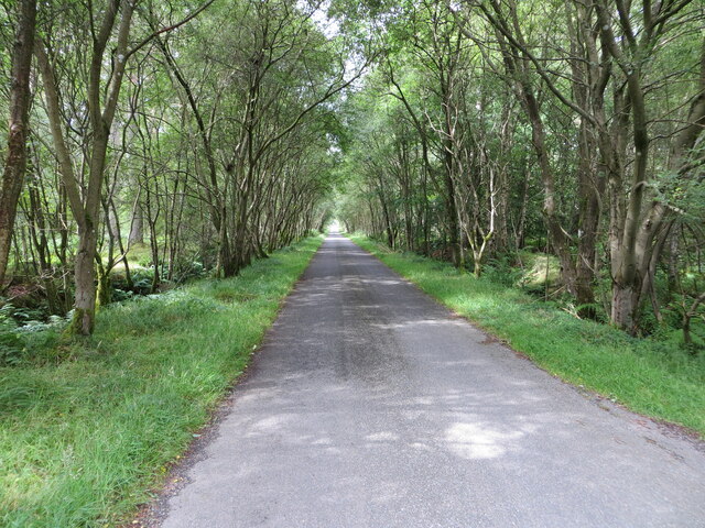
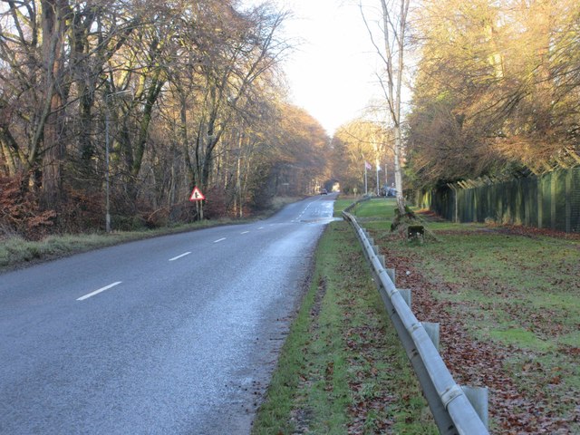
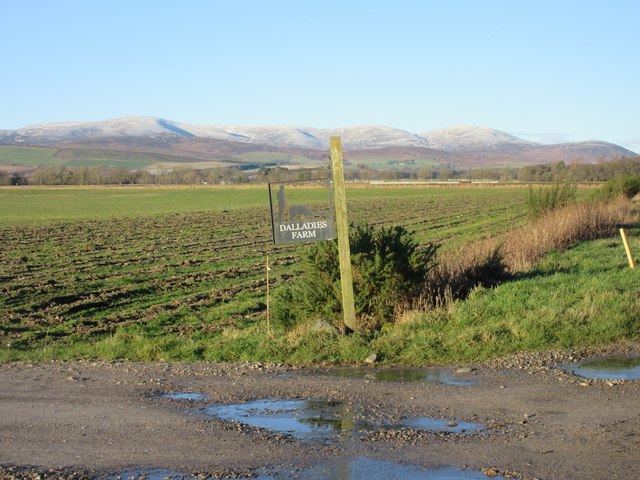
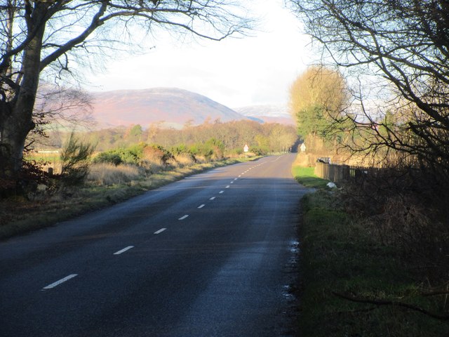
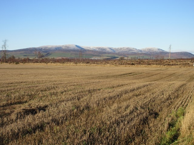
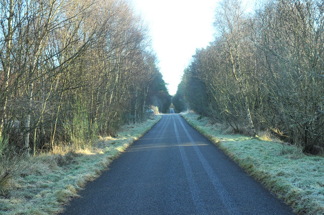
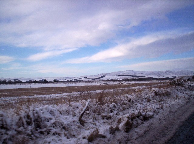
Shepherd's Wood, located in Kincardineshire, Scotland, is a picturesque forest that covers an area of approximately 200 acres. It is situated in the southern part of the county, near the town of Stonehaven. The wood is renowned for its natural beauty and diverse ecosystem, attracting visitors from near and far.

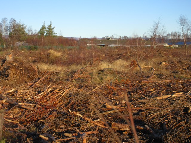
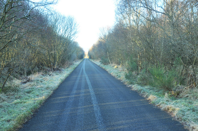
The forest is predominantly composed of native Scottish tree species, including Scots pine, birch, oak, and rowan. These trees form a dense canopy, providing a cool and shaded environment even on hot summer days. The woodland floor is carpeted with a variety of wildflowers, ferns, and mosses, creating a vibrant and enchanting atmosphere.

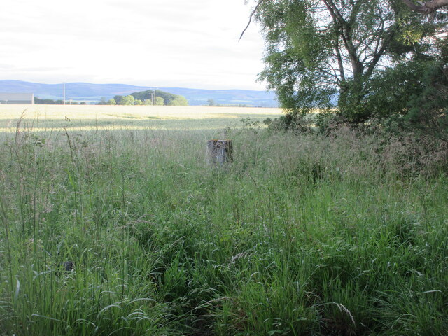
Shepherd's Wood is home to a plethora of wildlife, making it a haven for nature enthusiasts and birdwatchers. Visitors may spot a wide range of bird species, including woodpeckers, owls, and various songbirds. Mammals such as red squirrels, badgers, and deer also inhabit the forest, adding to its rich biodiversity.

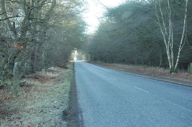
Several walking trails wind through the wood, allowing visitors to explore its natural wonders at their own pace. The paths are well-maintained, making them accessible to people of all ages and abilities. Along the way, informative signage provides interesting facts about the flora, fauna, and history of the area.

The tranquil atmosphere and serene beauty of Shepherd's Wood make it an ideal destination for those seeking a peaceful retreat in nature. Whether it is a leisurely stroll, birdwatching, or simply immersing oneself in the natural surroundings, this forest offers a unique and memorable experience for all who venture within its boundaries.

If you have any feedback on the listing, please let us know in the comments section below.

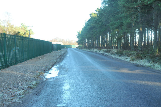
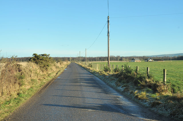
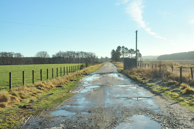
Shepherd's Wood Images

Images are sourced within 2km of 56.804381/-2.6060793 or Grid Reference NO6368. Thanks to Geograph Open Source API. All images are credited.

Minor road passing through Inverury Wood Looking north-westward.
Minor road passing through Inverury Wood
Looking north-westward.
Drumhendry Trig Pillar The triangulation pillar at the eastern end of Drumhendry Plantation, lurking out of the undergrowth.
Drumhendry Trig Pillar
The triangulation pillar at the eastern end of Drumhendry Plantation, lurking out of the undergrowth.
Barley field near Inverury Wood Looking west over a field of barley from the edge of Inverury Wood, with Gawloch in the distance to the left.
Barley field near Inverury Wood
Looking west over a field of barley from the edge of Inverury Wood, with Gawloch in the distance to the left.
Houses at Denstrath View Row of houses on Denstrath View at Edzell Woods.
Houses at Denstrath View
Row of houses on Denstrath View at Edzell Woods.
Lang Stracht at Edzell Woods The C2K (Aberdeenshire) road heading northwards at Edzell Woods.
Lang Stracht at Edzell Woods
The C2K (Aberdeenshire) road heading northwards at Edzell Woods.
Sign for Dalladies Dalladies Farm sign at the track entrance on the Lang Stracht, with the Hill of Wirren in the distance.
Sign for Dalladies
Dalladies Farm sign at the track entrance on the Lang Stracht, with the Hill of Wirren in the distance.
Lang Stracht at Cleary Wood The C2K (Aberdeenshire) road on the Lang Stracht, leaving Cleary Wood northwards.
Lang Stracht at Cleary Wood
The C2K (Aberdeenshire) road on the Lang Stracht, leaving Cleary Wood northwards.
Felled forest at Capo Felled forest at Capo Woods next to the Lang Stracht.
Felled forest at Capo
Felled forest at Capo Woods next to the Lang Stracht.
Stubble field by the Lang Stracht Stubble field towards the southern end of the Lang Stracht, with the cleared Capo Plantation beyond.
Stubble field by the Lang Stracht
Stubble field towards the southern end of the Lang Stracht, with the cleared Capo Plantation beyond.
Road past Edzell Woods
Road past Edzell Airfield
Road junction near Edzell
Minor road past Cleary Wood
Minor road near Gawloch
Farm track to Northgate
Minor road through Inverury Wood
Looking towards the Hill of Wirren Looking WNW from near Edzell Airfield towards the Hill of Wirren in <a href="https://www.geograph.org.uk/gridref/NO5273">NO5273</a> on Xmas Day 2004.
Looking towards the Hill of Wirren
Looking WNW from near Edzell Airfield towards the Hill of Wirren in NO5273 on Xmas Day 2004.
Show me another place!

Shepherd's Wood is located at Grid Ref: NO6368 (Lat: 56.804381, Lng: -2.6060793)

Unitary Authority: Aberdeenshire

Police Authority: North East

What 3 Words

///swooned.changed.workbench. Near Brechin, Angus

Related Wikis

RAF Edzell

Royal Air Force Edzell or more simply RAF Edzell is a former Royal Air Force satellite station located in Aberdeenshire, one mile east of Edzell in Angus...

Edzell Woods

Edzell Woods is a village in the Kincardine and Mearns area of Aberdeenshire, Scotland. It is 4 miles (6.4 km) from Edzell by road, but only one mile...
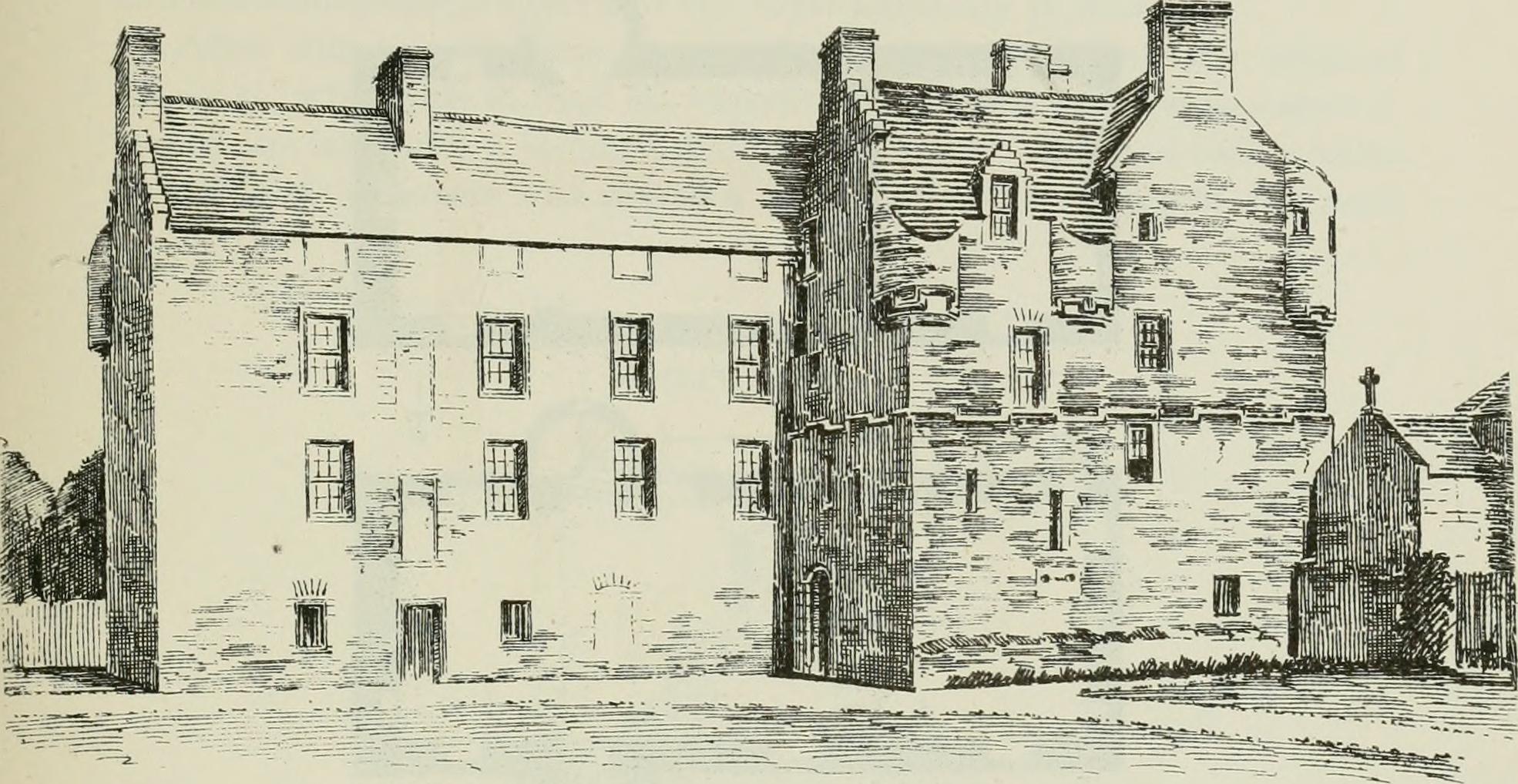
Inglismaldie Castle

Inglismaldie Castle is a castle in the parish of Marykirk and the county of Kincardineshire, Scotland. == History == The Tower House was built in 1636...

Luthermuir

Luthermuir is a village in Aberdeenshire, Scotland, UK. Historically the village was home to weavers and labourers. == Facilities == Luthermuir is home...

Nearby Amenities

Located within 500m of 56.804381,-2.6060793
Power: pole
Lat/Long: 56.8015468/-2.6118134
Power: pole
Lat/Long: 56.8017308/-2.6104483
Power: pole
Lat/Long: 56.8019098/-2.6090809
Power: pole
Lat/Long: 56.8019388/-2.6087241
Power: pole
Lat/Long: 56.8020258/-2.6075592
Power: pole
Lat/Long: 56.8016955/-2.6065671
Power: pole
Lat/Long: 56.8013527/-2.6055496
Power: pole
Lat/Long: 56.8010124/-2.6045482
Power: pole
Lat/Long: 56.8006758/-2.6035514
Power: pole
Lat/Long: 56.8003531/-2.6025639
The data included in this document is from www.openstreetmap.org. The data is made available under ODbL.

Have you been to Shepherd's Wood?

Leave your review of Shepherd's Wood below (or comments, questions and feedback).