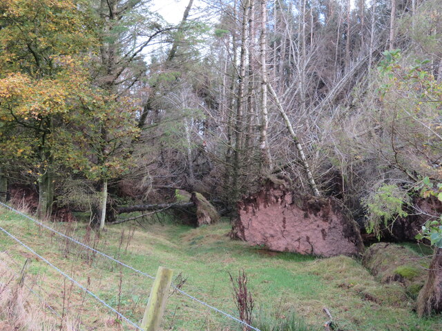
Loch Wood
Wood, Forest in Berwickshire
Scotland
Loch Wood
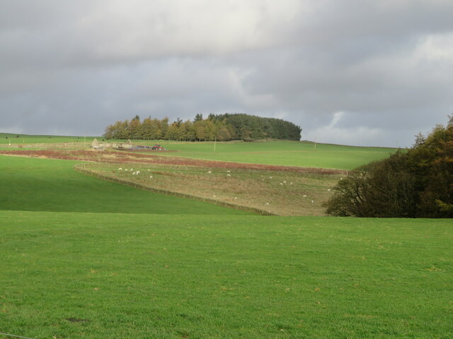
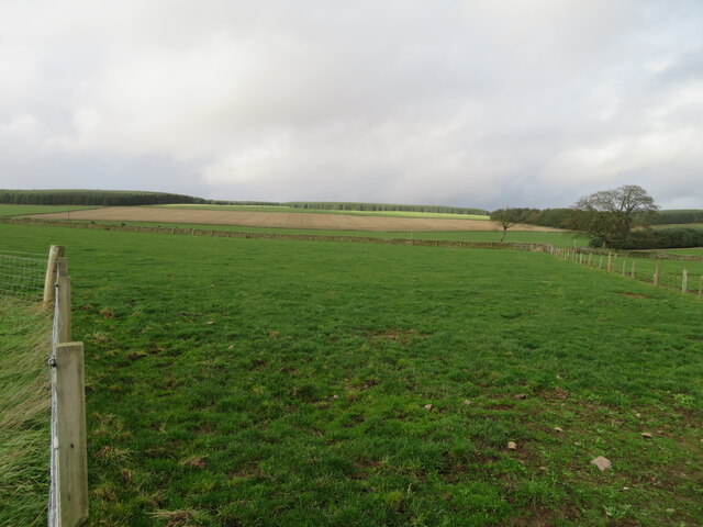
Loch Wood is a picturesque forest located in Berwickshire, Scotland. Spanning over a vast area, it is nestled amidst the breathtaking landscapes of the Scottish Borders region. The wood gets its name from the tranquil loch that lies within its boundaries, providing a serene and idyllic setting for nature lovers and outdoor enthusiasts.
Loch Wood is characterized by its diverse range of tree species, including native Scots pines, oak, beech, and birch trees. These majestic trees create a dense canopy, offering shade and shelter to a variety of wildlife that calls the forest home. Visitors to the wood can expect to encounter a rich array of bird species, such as red kites, buzzards, and woodpeckers, as well as small mammals like red squirrels and roe deer.
The forest boasts an extensive network of well-maintained trails, making it an ideal destination for hikers, walkers, and cyclists. These paths wind through the wood, allowing visitors to explore its natural beauty at their own pace. The loch itself also presents opportunities for activities such as fishing and boating, further enhancing the recreational potential of the area.
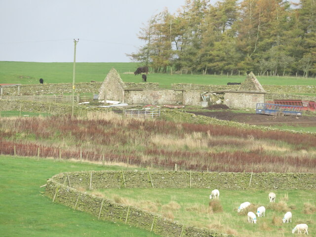
In addition to its natural allure, Loch Wood holds historical significance. It is believed that remnants of ancient settlements can be found within its boundaries, dating back to the Iron Age. These archaeological sites add an extra layer of fascination to the forest, attracting history enthusiasts and researchers alike.
Overall, Loch Wood in Berwickshire is a captivating destination that showcases the beauty of Scotland's natural landscapes. Whether it's a leisurely walk, an exploration of its wildlife, or a delve into its historical past, this forest offers a memorable experience for all who visit.
If you have any feedback on the listing, please let us know in the comments section below.
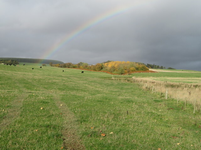
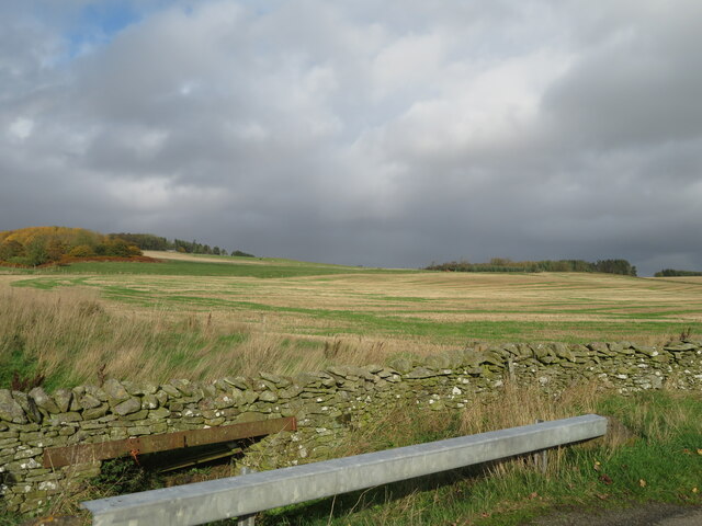
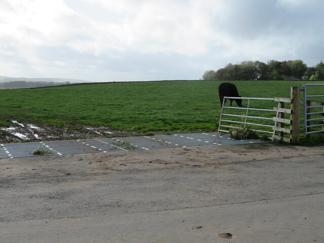
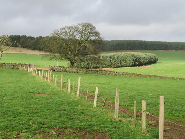
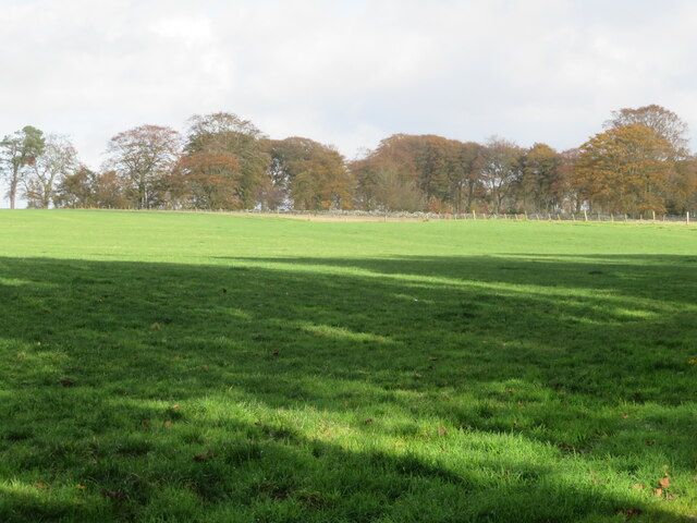
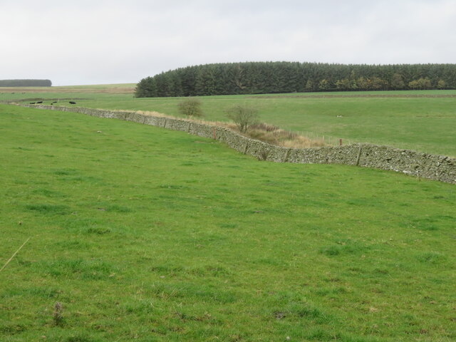
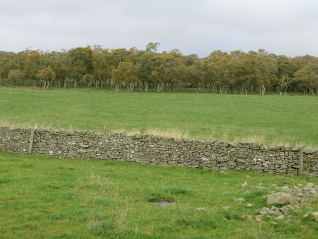
Loch Wood Images
Images are sourced within 2km of 55.761689/-2.5898311 or Grid Reference NT6352. Thanks to Geograph Open Source API. All images are credited.
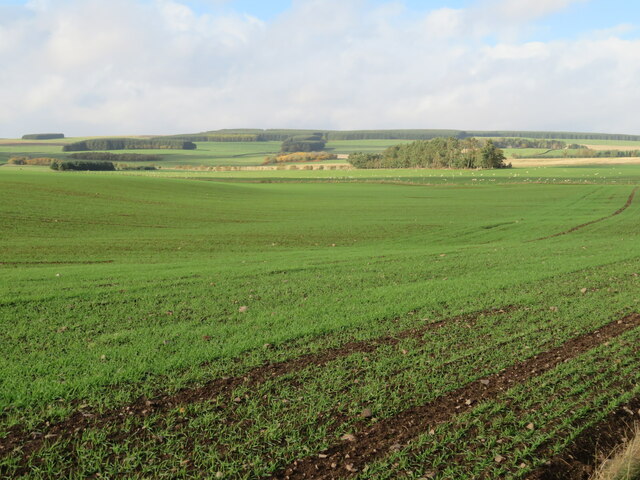
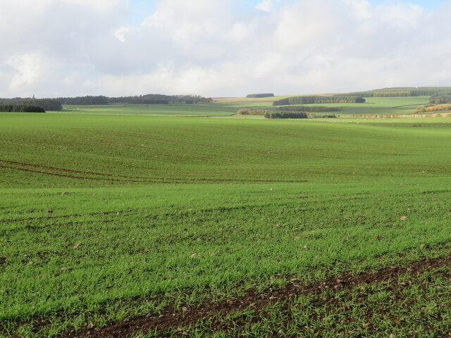
![Winter Wheat near Westruther Once upon a time, when I came to Scotland in the 1960s, it would have been unlikely to find wheat being grown at this elevation [ca 245m, 800feet above sea level]. This change will be partly due to the breeding of new cultivars, but also milder winters - climate change.](https://s2.geograph.org.uk/geophotos/07/32/63/7326334_3af6997b.jpg)
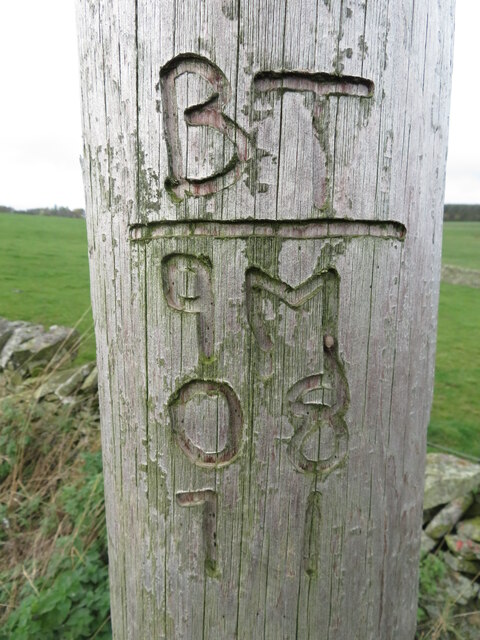
![Sheltering arachnid on a telephone pole A close up of <a href="https://www.geograph.org.uk/photo/7328401">NT6151 : Utility pole identification</a>. It was blowing a gale and the groove was just deep enough to provide shelter. I think it was an opilionid [Daddy Longlegs], but it might be a spider.](https://s1.geograph.org.uk/geophotos/07/32/84/7328405_f05ca736.jpg)
Loch Wood is located at Grid Ref: NT6352 (Lat: 55.761689, Lng: -2.5898311)
Unitary Authority: The Scottish Borders
Police Authority: The Lothians and Scottish Borders
What 3 Words
///chemistry.ship.scream. Near Lauder, Scottish Borders
Nearby Locations
Related Wikis

Westruther
Westruther is a village on the B6465, in the Scottish Borders area of Scotland, on the lower slopes of the Lammermuir Hills, in the former Berwickshire...

Blackadder Water
Blackadder Water () is a river in Berwickshire in the Scottish Borders area of Scotland, forming part of the River Tweed system. It reached 2.84m at Mouthbridge...

Houndslow
Houndslow is a hamlet in the Scottish Borders area of Scotland. It is situated on the A697, about 5 miles (8.0 km) west of Greenlaw, and 3 miles (4.8 km...

Watch Water
The Watch Water is a river in the Scottish Borders area of Scotland. It rises in the Lammermuir Hills, around 8 kilometres (5.0 mi) west of Longformacus...
Nearby Amenities
Located within 500m of 55.761689,-2.5898311Have you been to Loch Wood?
Leave your review of Loch Wood below (or comments, questions and feedback).