Hazeley Wood
Wood, Forest in Aberdeenshire
Scotland
Hazeley Wood
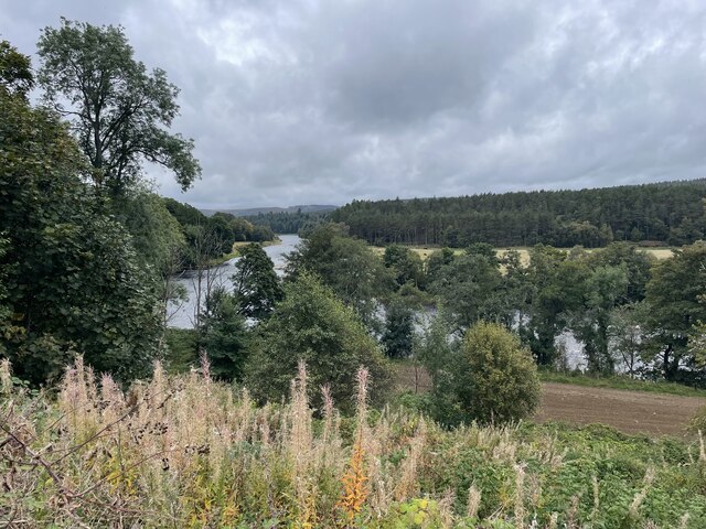
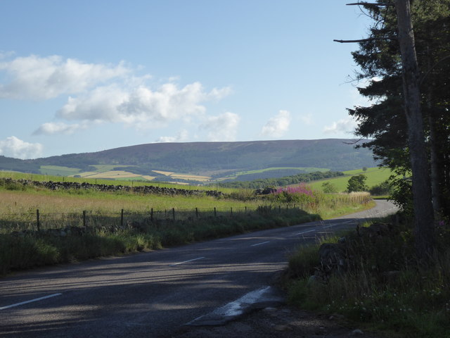
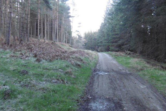
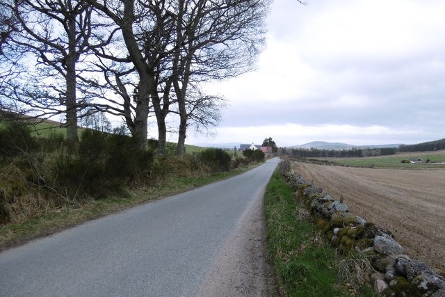
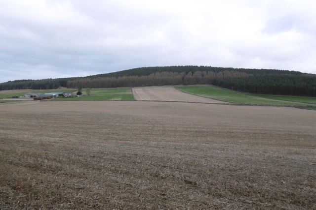
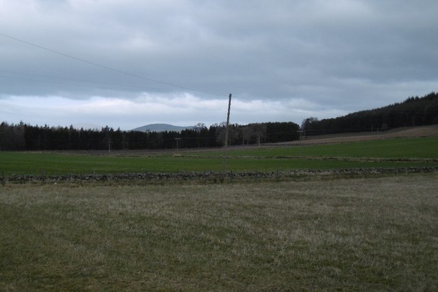
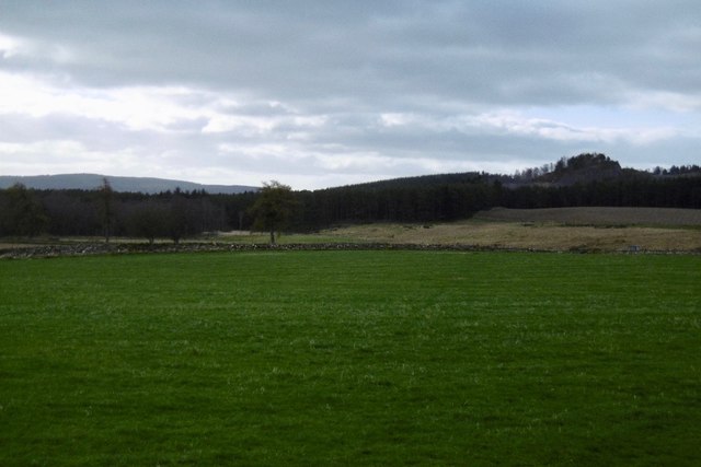
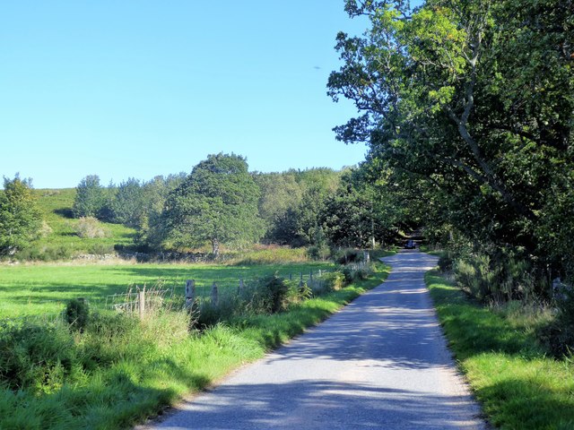
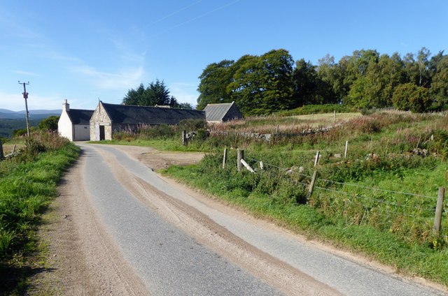
Hazeley Wood is a picturesque forest located in Aberdeenshire, Scotland. Covering an area of approximately 500 acres, this woodland is a haven for nature enthusiasts and those seeking tranquility in a stunning natural setting.
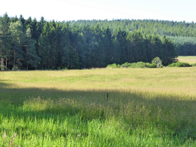
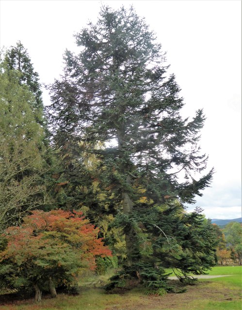
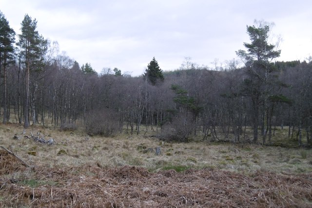
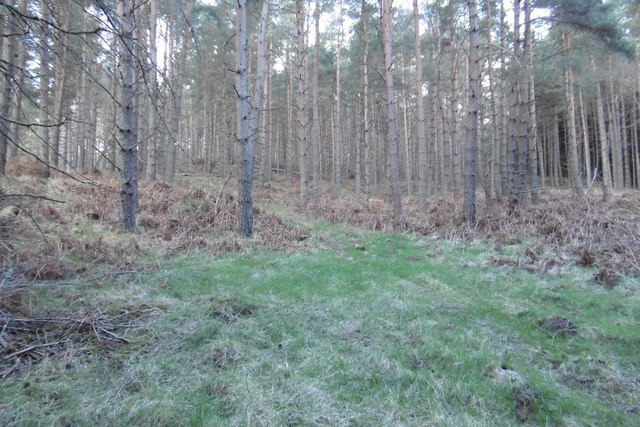
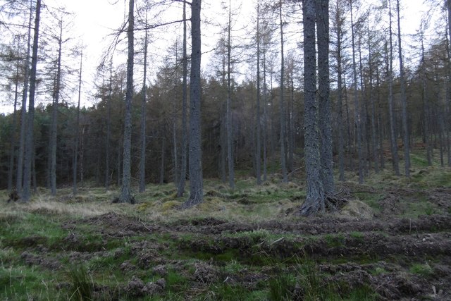
The forest is primarily composed of a mixture of broadleaf and coniferous trees, creating a diverse and vibrant ecosystem. Oak, birch, and beech trees dominate the landscape, providing a rich habitat for various wildlife species. Hazeley Wood is particularly known for its vibrant displays of bluebells in the spring, transforming the forest floor into a breathtaking carpet of purple.
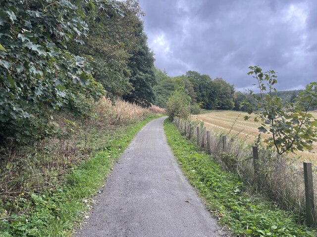
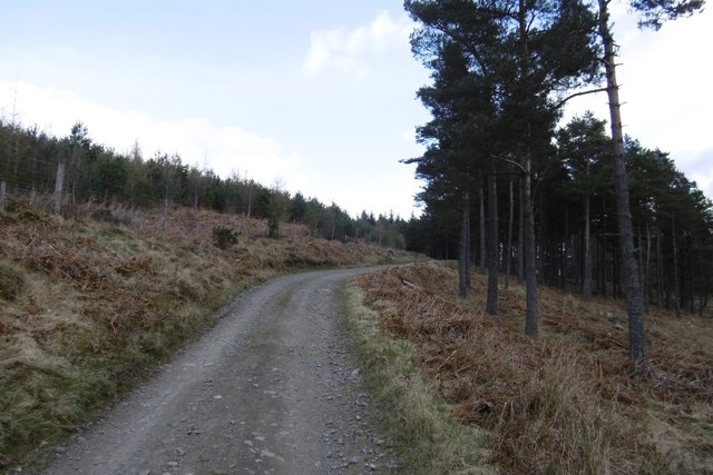
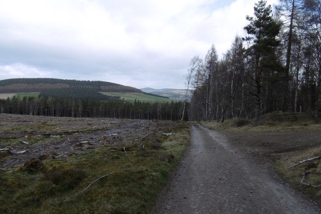
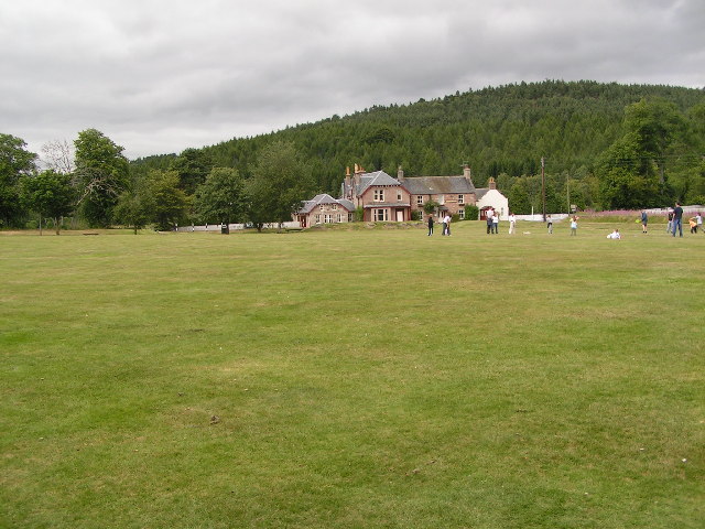
Visitors to Hazeley Wood can enjoy a variety of activities such as walking, hiking, and birdwatching. The forest boasts a network of well-maintained trails, offering opportunities to explore its beauty on foot. There are also designated picnic areas where visitors can relax and enjoy a meal surrounded by the sights and sounds of nature.
For those interested in wildlife, Hazeley Wood is home to a wide range of species. Birdwatchers can spot woodpeckers, owls, and various songbirds, while lucky visitors might even catch a glimpse of red squirrels or deer.
Hazeley Wood is easily accessible, located just a short distance from the town of Aberdeenshire. It offers a peaceful retreat from the bustling city life, providing visitors with a chance to reconnect with nature and enjoy the beauty of this enchanting woodland.
If you have any feedback on the listing, please let us know in the comments section below.
Hazeley Wood Images
Images are sourced within 2km of 57.086006/-2.6385349 or Grid Reference NO6199. Thanks to Geograph Open Source API. All images are credited.
Hazeley Wood is located at Grid Ref: NO6199 (Lat: 57.086006, Lng: -2.6385349)
Unitary Authority: Aberdeenshire
Police Authority: North East
What 3 Words
///hurtles.surreal.reader. Near Torphins, Aberdeenshire
Nearby Locations
Related Wikis

Kincardine Castle, Royal Deeside
Kincardine Castle is a Victorian country house in Royal Deeside, Scotland. Formerly known as Kincardine House, it is the private home of the Bradford family...

Kincardine O'Neil
Kincardine O'Neil (Scottish Gaelic: Cinn Chàrdainn, Scots: Kinker) is a village in Aberdeenshire, Scotland. It is situated between the towns of Banchory...

Kincardine O'Neil Hospital, Aberdeenshire
Kincardine O'Neil Hospital was founded in the 13th century in the village of Kincardine O'Neil in Scotland. Almost certainly it served as a traveler's...

Torphins
Torphins ( tor-FINZ; Scottish Gaelic: Tòrr Fionn) is a village in Royal Deeside, Aberdeenshire, Scotland which lies about 22 miles (35 km) west of Aberdeen...

Torphins railway station
Torphins railway station served the village of Torphins from 1859 to 1966 on the Deeside Railway that ran from Aberdeen (Joint) to Ballater. == History... ==

Dinnie Stones
The Dinnie Stones (also called Stanes or Steens) are a pair of Scottish lifting stones located in Potarch, Aberdeenshire. They were made famous by strongman...
Potarch
Potarch ( pot-ARKH) is a hamlet in Aberdeenshire, Scotland, with a bridge across the River Dee.It is a popular location with tourists and day-trippers...

Glassel railway station
Glassel railway station is a disused railway station in Britain. It served Glassel House, the Mill of Beltie and the local farms and the inhabitants of...
Nearby Amenities
Located within 500m of 57.086006,-2.6385349Have you been to Hazeley Wood?
Leave your review of Hazeley Wood below (or comments, questions and feedback).