Denburn Wood

Wood, Forest in Fife

Scotland

Denburn Wood

Crail harbour Looking north east from the corner of West Braes Crescent. The flowers are poppies.
Crail harbour Credit: Richard Dorrell

Denburn Wood, located in Fife, Scotland, is a picturesque woodland area that covers approximately 26 hectares. This enchanting forest is situated on the southern slopes of the Lomond Hills, near the village of Falkland. Denburn Wood is managed by the Woodland Trust and is a popular destination for both locals and tourists seeking tranquility and natural beauty.

The woodland is characterized by a diverse mix of broadleaf trees, including oak, ash, birch, and beech, creating a vibrant and lush canopy. The forest floor is covered with a rich carpet of wildflowers, ferns, and mosses, adding to the area's enchanting ambiance. Visitors can wander along the well-maintained paths that meander through the wood, providing opportunities for peaceful walks and nature observation.

Denburn Wood is known for its abundant wildlife, making it a haven for nature enthusiasts. Birdwatchers can spot various species, such as woodpeckers, thrushes, and owls, while small mammals like red squirrels, badgers, and foxes can also be found within the wood. In spring, the woodland comes alive with the melodious songs of numerous bird species and the vibrant colors of blooming flowers.

The wood offers breathtaking views of the surrounding Fife countryside, with glimpses of the distant Largo Law and the Lomond Hills. The area is also steeped in history, with remnants of old stone walls and evidence of ancient settlements adding an extra layer of interest for those curious about the region's past.

In summary, Denburn Wood is a captivating woodland retreat in Fife, Scotland, offering a blend of natural beauty, diverse flora and fauna, and historical significance. It is a sanctuary for those seeking solace in nature and an opportunity to connect with the rich biodiversity of the area.

If you have any feedback on the listing, please let us know in the comments section below.
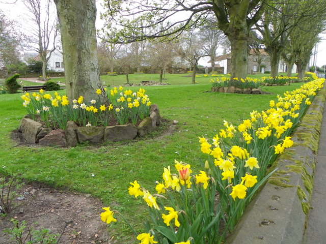
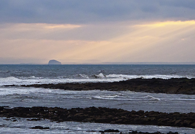
Denburn Wood Images

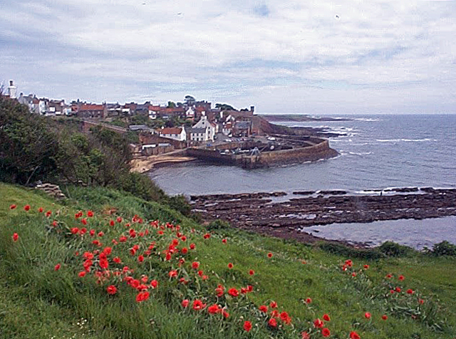
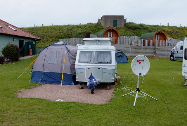
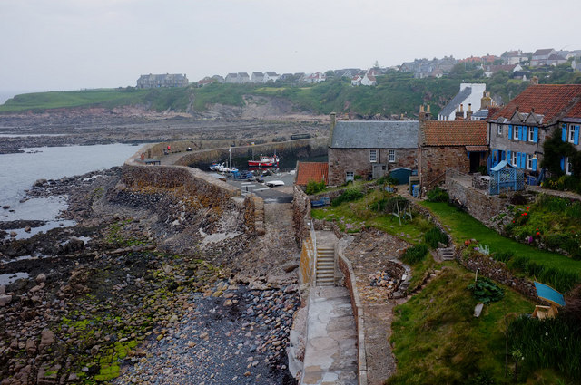
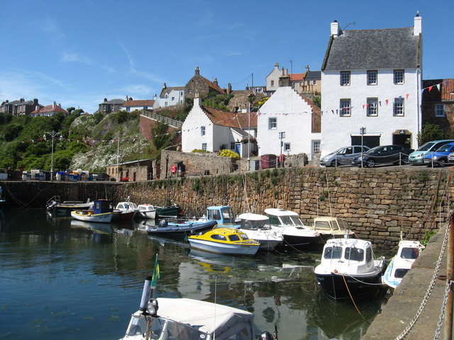
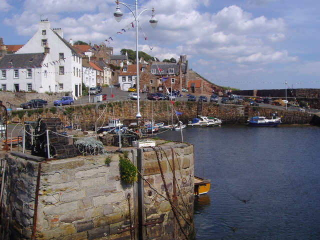
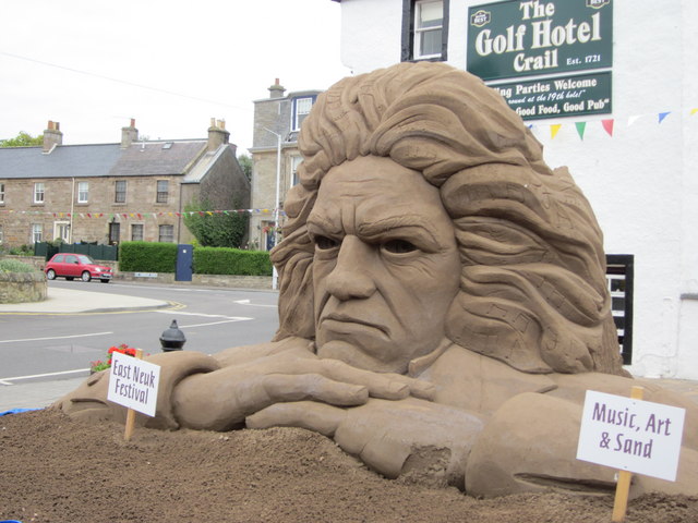
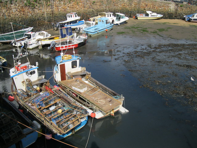
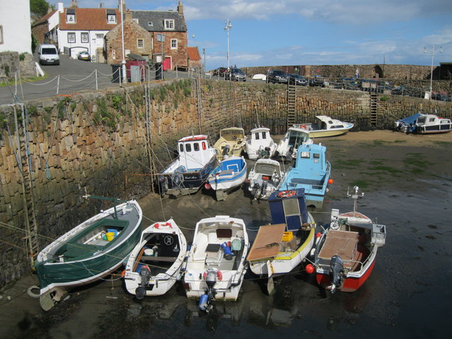
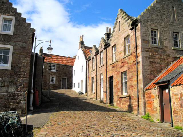
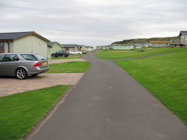
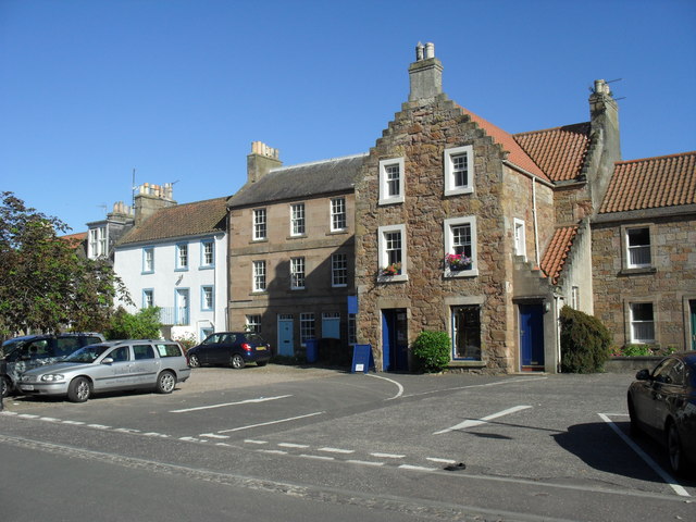
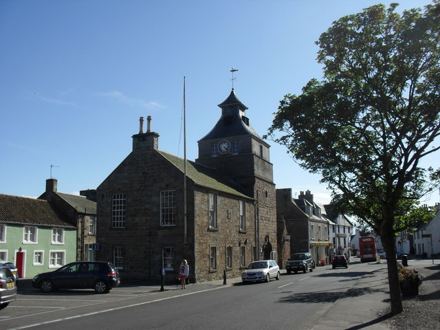
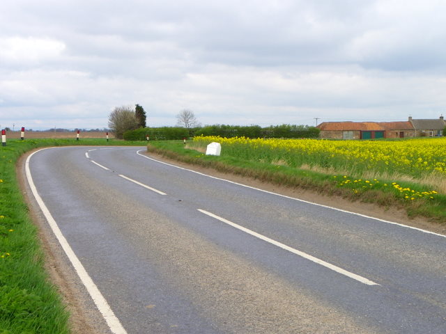
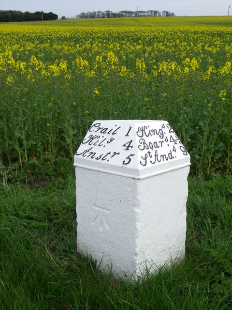
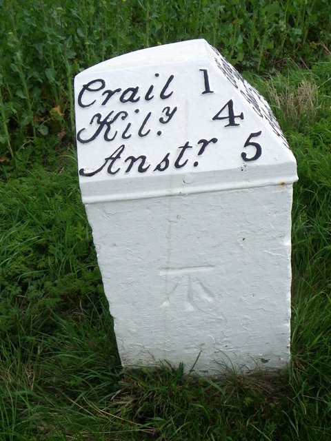
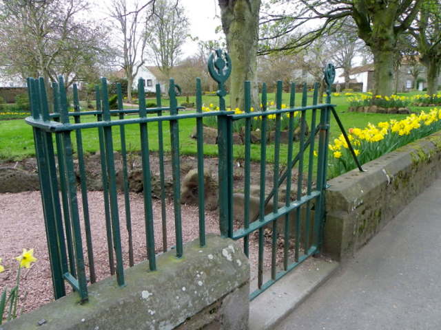
Images are sourced within 2km of 56.263356/-2.6249085 or Grid Reference NO6108. Thanks to Geograph Open Source API. All images are credited.

Crail harbour Looking north east from the corner of West Braes Crescent. The flowers are poppies.
Crail harbour
Looking north east from the corner of West Braes Crescent. The flowers are poppies.
Home from home This small caravan has an extension that doubles its size, and provides satellite TV.
Home from home
This small caravan has an extension that doubles its size, and provides satellite TV.
North-east of Crail Harbour A path along the coast gives a view of the harbour and the headland beyond. From this point the path turns inland.
North-east of Crail Harbour
A path along the coast gives a view of the harbour and the headland beyond. From this point the path turns inland.
The harbour at Crail in Fife
Crail harbour
Crail harbour
Crumbling Composer in Crail This amazing sand sculpture built in the High Street, Crail was beginning to crumble in the heat.
Crumbling Composer in Crail
This amazing sand sculpture built in the High Street, Crail was beginning to crumble in the heat.
Fishing boats in Crail Harbour The harbour dries out at low water and some of these boats are aground.
Fishing boats in Crail Harbour
The harbour dries out at low water and some of these boats are aground.
Crail Harbour Crail is still a working harbour, home to Fife's crab and lobster fleet, and though there are fewer boats than there used to be, visitors can still buy fresh lobster and shellfish from the harbourside.
Crail Harbour
Crail is still a working harbour, home to Fife's crab and lobster fleet, and though there are fewer boats than there used to be, visitors can still buy fresh lobster and shellfish from the harbourside.
Street in Crail This cobbled street leads uphill from the harbour.
Street in Crail
This cobbled street leads uphill from the harbour.
Sauchope Links Caravan Park Looking roughly SSE.
Sauchope Links Caravan Park
Looking roughly SSE.
Shop occupying an ancient building in Crail On Marketgate.
Shop occupying an ancient building in Crail
On Marketgate.
The Tolbooth and clock tower in Crail On Marketgate.
The Tolbooth and clock tower in Crail
On Marketgate.
Milestone, Chance Inn The milestone stands beside the A917.

Milestones are the original roadside heritage features with many dating back hundreds of years and these historic items are under threat from highway developments.
Milestone, Chance Inn
The milestone stands beside the A917. Milestones are the original roadside heritage features with many dating back hundreds of years and these historic items are under threat from highway developments.
Milestone, Chance Inn The milestone stands beside the A917 and in front of a crop of oilseed rape.

Milestones did not come into general use until the Turnpike Act of 1766 made them compulsory on turnpike roads, these roads were built by private enterprise under licence from the Government and maintained by tolls on those who used them.  Before this Act milestones were put up occasionally, often as charitable acts and commemorations.   Many Turnpike Act stones still exist.  They are usually 2-3 ft high, with the initial letter or abbreviation of the nearest market town shown on two faces, and the distance from it. 

Oilseed rape is the third important crop in the UK after wheat and barley. It can be either winter or spring sown. Winter sown oilseed rape is primarily grown for its oil, which is used in cooking and food processing.
Milestone, Chance Inn
The milestone stands beside the A917 and in front of a crop of oilseed rape. Milestones did not come into general use until the Turnpike Act of 1766 made them compulsory on turnpike roads, these roads were built by private enterprise under licence from the Government and maintained by tolls on those who used them. Before this Act milestones were put up occasionally, often as charitable acts and commemorations. Many Turnpike Act stones still exist. They are usually 2-3 ft high, with the initial letter or abbreviation of the nearest market town shown on two faces, and the distance from it. Oilseed rape is the third important crop in the UK after wheat and barley. It can be either winter or spring sown. Winter sown oilseed rape is primarily grown for its oil, which is used in cooking and food processing.
Milestone and bench mark, Chance Inn The Ordnance Survey bench mark clearly shows on the side of the milestone.  For a wider view of the stone <a href="https://www.geograph.org.uk/photo/2776330">NO6008 : Milestone, Chance Inn</a> and for further information on the cut mark and others in the area <span class="nowrap"><a title="http://www.bench-marks.org.uk/bm38081" rel="nofollow ugc noopener" href="http://www.bench-marks.org.uk/bm38081">Link</a><img style="margin-left:2px;" alt="External link" title="External link - shift click to open in new window" src="https://s1.geograph.org.uk/img/external.png" width="10" height="10"/></span>
Milestone and bench mark, Chance Inn
The Ordnance Survey bench mark clearly shows on the side of the milestone. For a wider view of the stone NO6008 : Milestone, Chance Inn and for further information on the cut mark and others in the area LinkExternal link
Kissing gate, Crail The kissing gate allows people entry to the small park beside St Andrews Road.

The kissing gate is a traditional gate hung in a U or V shape that allows one person to pass at a time. In order for one person to pass fully through the gate they have to close it on the next person. Legend has it that at this point, when the two are on either side of the gate, the person in front ‘refuses’ entry to the second person until presented with a kiss.
Kissing gate, Crail
The kissing gate allows people entry to the small park beside St Andrews Road. The kissing gate is a traditional gate hung in a U or V shape that allows one person to pass at a time. In order for one person to pass fully through the gate they have to close it on the next person. Legend has it that at this point, when the two are on either side of the gate, the person in front ‘refuses’ entry to the second person until presented with a kiss.
Daffodils in the park, Crail A fine show of daffodils in a small park beside the A917, St Andrews Road.
Daffodils in the park, Crail
A fine show of daffodils in a small park beside the A917, St Andrews Road.
Westland Skelly Rocks at the Westland Skelly, viewed on a very overcast day, with the Bass Rock visible on the horizon.
Westland Skelly
Rocks at the Westland Skelly, viewed on a very overcast day, with the Bass Rock visible on the horizon.
Show me another place!

Denburn Wood is located at Grid Ref: NO6108 (Lat: 56.263356, Lng: -2.6249085)

Unitary Authority: Fife

Police Authority: Fife

What 3 Words

///island.hatch.sweetened. Near Crail, Fife

Nearby Locations

Denburn Wood

Related Wikis

Crail Parish Church

Crail Parish Church is an ancient church building in Crail, Fife, Scotland. It is Category A listed, its oldest part dating to the 12th century. The walls...

Crail Tolbooth and Town Hall

Crail Tolbooth and Town Hall is a municipal structure in Crail, Fife, Scotland. The building, which stands in Marketgate, at its junction with Tolbooth...

Crail

Crail (); Scottish Gaelic: Cathair Aile) is a former royal burgh, parish and community council area (Royal Burgh of Crail and District) in the East Neuk...

Golf Hotel

The Golf Hotel is a hotel and restaurant in Crail, Fife, Scotland. It is a Category A listed building dating to the early 18th century, although one source...

Nearby Amenities

Located within 500m of 56.263356,-2.6249085
Created By: almien_coastlines
Lat/Long: 56.261194/-2.618533
Created By: almien_coastlines
Lat/Long: 56.261321/-2.618301
Crail
Alt Name Gd: Cair Ail
Is In: Fife, Scotland, UK
Name Gd: Cathair Aile
Name Sco: The Crail
Place: town
Population: 1812
Wikidata: Q1010416
Wikipedia: en:Crail
Lat/Long: 56.2606771/-2.6267118
Mini Roundabout
Lat/Long: 56.2606938/-2.6266618
Toilets
Fee: no
Lat/Long: 56.2621042/-2.6180311
Noexit: yes
Lat/Long: 56.2600118/-2.6287259
Mini Roundabout
Lat/Long: 56.2643113/-2.624091
Barrier: bollard
Bicycle: yes
Foot: yes
Motor Vehicle: no
Lat/Long: 56.2593442/-2.6257402
Addr Housenumber: 44
Addr Street: Nethergate
Lat/Long: 56.2599002/-2.6242121
Post Box
Collection Times: Mo-Fr 16:00; Sa 11:45
Operator: Royal Mail
Operator Wikidata: Q638098
Post Box Design: type_b
Post Box Type: pillar
Ref: KY10 262
Royal Cypher: obscured
Lat/Long: 56.2595141/-2.6278605
Co-op Food
Brand: Co-op Food
Brand Wikidata: Q3277439
Brand Wikipedia: en:Co-op Food
Operator: The Co-operative Group
Operator Wikidata: Q117202
Shop: convenience
Website: https://www.coop.co.uk/store-finder/KY10-3TA/7-high-street
Lat/Long: 56.2604807/-2.6269903
Pub
Golf Hotel
Internet Access: wlan
Lat/Long: 56.2606066/-2.6265438
Post Box
Collection Times: Mo-Fr 09:00; Sa 07:00
Operator: Royal Mail
Operator Wikidata: Q638098
Post Box Design: type_b
Post Box Type: pillar
Ref: KY10 260D
Royal Cypher: scottish_crown
Lat/Long: 56.2620358/-2.6247706
Addr City: Crail
Addr Housenumber: 1
Addr Postcode: KY10 3UA
Addr Street: Tolbooth Wynd
Entrance: yes
Lat/Long: 56.2606683/-2.626272
Entrance: main
Lat/Long: 56.2619949/-2.625712
Bench
Backrest: yes
Check Date: 2022-09-27
Lat/Long: 56.2622516/-2.6250548
Historic: memorial
Memorial: war_memorial
Lat/Long: 56.2622931/-2.6250645
Historic: memorial
Lat/Long: 56.2623246/-2.6250247
Bench
Backrest: yes
Check Date: 2022-09-27
Lat/Long: 56.2623426/-2.6249277
Bow Butts
Bus: yes
Public Transport: stop_position
Lat/Long: 56.2619794/-2.6301835
Bus Stop
Bow Butts
Bench: yes
Bin: yes
Bus: yes
Lit: yes
Public Transport: platform
Shelter: yes
Tactile Paving: no
Lat/Long: 56.2620258/-2.6301448
Bowling Green Place
Bus: yes
Public Transport: stop_position
Lat/Long: 56.2609354/-2.6273506
Bus Stop
Bowling Green Place
Bench: no
Bin: no
Bus: yes
Covered: no
Naptan AtcoCode: 6500N0320
Naptan NaptanCode: 34342472
Public Transport: platform
Shelter: no
Tactile Paving: no
Lat/Long: 56.2609571/-2.627335
Bus Stop
Bowling Green Place
Bench: yes
Bin: no
Bus: yes
Naptan AtcoCode: 6500N0319
Naptan NaptanCode: 34342478
Public Transport: platform
Shelter: yes
Tactile Paving: no
Lat/Long: 56.2609808/-2.6276526
Bowling Green Place
Bus: yes
Public Transport: stop_position
Lat/Long: 56.2610208/-2.6276207
Barrier: cycle_barrier
Bicycle: yes
Foot: yes
Lat/Long: 56.2614059/-2.6298259
Bench
Backrest: yes
Lat/Long: 56.2616303/-2.6299337
Bench
Backrest: yes
Check Date: 2023-05-01
Lat/Long: 56.2616645/-2.6305325
Bench
Backrest: yes
Lat/Long: 56.2617076/-2.6301034
Bench
Backrest: yes
Check Date: 2023-05-01
Lat/Long: 56.261857/-2.6307147
Post Box
Collection Times: Mo-Fr 09:00; Sa 07:00
Operator: Royal Mail
Operator Wikidata: Q638098
Post Box Mounting: pier
Post Box Type: lamp
Ref: KY10 382D
Royal Cypher: scottish_crown
Lat/Long: 56.262257/-2.6302249
Dan's Goods
Addr City: Crail
Addr Housenumber: 2
Addr Postcode: KY10 3TD
Addr Street: High Street South
Shop: convenience
Lat/Long: 56.2606678/-2.6263929
Crail
Check Date: 2022-05-10
Information: map
Map Size: city
Map Type: street
Tourism: information
Lat/Long: 56.2608149/-2.6261531
Information: office
Opening Hours: Mo-Sa 11:00-16:00; Su 13:00-16:00; PH off
Tourism: information
Lat/Long: 56.2607079/-2.6260755
Waste Basket
Check Date: 2022-09-27
Lat/Long: 56.2608832/-2.6263392
Bench
Backrest: yes
Check Date: 2022-09-27
Lat/Long: 56.2609731/-2.6262135
Bench
Backrest: yes
Check Date: 2022-09-27
Lat/Long: 56.2610743/-2.626072
Fountain
Lat/Long: 56.2611247/-2.6256904
Waste Basket
Lat/Long: 56.2612497/-2.6258222
Mercat Cross
Historic: memorial
Memorial: mercat_cross
Lat/Long: 56.2613606/-2.6253681
Bench
Backrest: yes
Lat/Long: 56.2614713/-2.6254971
Bench
Backrest: yes
Check Date: 2022-04-29
Lat/Long: 56.2616558/-2.6252515
Bench
Backrest: yes
Check Date: 2022-05-10
Lat/Long: 56.2619045/-2.6249455
Waste Basket
Check Date: 2022-05-10
Lat/Long: 56.2620282/-2.6248004
Fabrik
Addr City: Crail
Addr Housenumber: 11
Addr Postcode: KY10 3TA
Addr Street: High Street North
Fhrs Id: 657684
Opening Hours: Mo-Sa 10:00-17:00
Phone: +44 1333 450233
Shop: gift
Source Addr: FHRS Open Data
Website: https://vanessabullick.co.uk/
Lat/Long: 56.2604129/-2.6270702
Bench
Backrest: yes
Check Date: 2022-09-30
Lat/Long: 56.2604809/-2.6214452
Bench
Backrest: yes
Lat/Long: 56.2606631/-2.6212356
Bench
Backrest: yes
Check Date: 2022-09-30
Lat/Long: 56.2607188/-2.6211547
Tourism: picnic_site
Lat/Long: 56.2611401/-2.6208259
Bench
Backrest: yes
Lat/Long: 56.2612771/-2.6204771
Bench
Backrest: yes
Lat/Long: 56.2613068/-2.6209664
Bench
Backrest: yes
Lat/Long: 56.2613426/-2.6208741
Waste Basket
Check Date: 2022-10-04
Lat/Long: 56.2613476/-2.6201945
Bench
Backrest: yes
Check Date: 2022-05-10
Lat/Long: 56.2613988/-2.6206986
Bench
Backrest: yes
Lat/Long: 56.2614043/-2.6199847
Tourism: picnic_site
Lat/Long: 56.2614626/-2.6198921
Bench
Backrest: yes
Check Date: 2022-05-10
Lat/Long: 56.2616167/-2.6221365
Bench
Backrest: yes
Check Date: 2022-05-10
Lat/Long: 56.2616202/-2.6222727
The Fife Coastal Path
Check Date: 2022-10-04
Hiking: yes
Information: map
Map Size: region
Map Type: topo
Tourism: information
Lat/Long: 56.2614205/-2.6199449
Marine hotel B&B
Tourism: guest_house
Lat/Long: 56.2595126/-2.6246469
Bench
Backrest: yes
Colour: brown
Material: plastic
Seats: 4
Lat/Long: 56.2620346/-2.6192537
Sandcastle Cottage
Addr City: Crail
Addr Housename: Sandcastle Cottage
Addr Housenumber: 3
Addr Postcode: KY10 3TU
Addr Street: Nethergate North
Chalet: holiday cottage
Email: susan@2crail.com
Internet Access: wlan
Operator: Sandcastle Holidays (Scotland) Ltd
Smoking: no
Tourism: chalet
Lat/Long: 56.2616001/-2.6227002
Bench
Backrest: yes
Colour: brown
Material: plastic
Seats: 3
Lat/Long: 56.2622186/-2.6187116
Bench
Backrest: yes
Colour: brown
Material: plastic
Seats: 3
Lat/Long: 56.2618588/-2.6199805
Bench
Backrest: yes
Colour: brown
Material: wood
Seats: 4
Lat/Long: 56.2624063/-2.6178105
Bench
Backrest: yes
Colour: brown
Material: wood
Seats: 3
Lat/Long: 56.2624845/-2.6173579
Bench
Backrest: yes
Colour: brown
Material: wood
Seats: 2
Lat/Long: 56.2620828/-2.6191
Waste Basket
Waste: trash
Lat/Long: 56.2619273/-2.6196523
Bench
Backrest: yes
Colour: brown
Material: wood
Seats: 3
Lat/Long: 56.2619044/-2.6198502
Bench
Backrest: yes
Colour: brown
Material: wood
Seats: 3
Lat/Long: 56.2621687/-2.6188428
Bench
Backrest: yes
Colour: brown
Material: wood
Seats: 3
Lat/Long: 56.2621265/-2.6189623
Bench
Backrest: yes
Colour: brown
Material: wood
Seats: 3
Lat/Long: 56.26227/-2.6185351
Bench
Backrest: yes
Colour: brown
Material: wood
Seats: 2
Lat/Long: 56.2619834/-2.619506
Bench
Backrest: yes
Colour: brown
Material: wood
Seats: 2
Lat/Long: 56.2625009/-2.6169755
Restaurant
Balcomie Links Hotel
Addr Housename: Balcomie Links Hotel
Addr Postcode: KY10 3TN
Addr Street: Balcomie Road
Capacity: 50
Cuisine: scottish
Email: enquiries@balcomie.co.uk
Opening Hours: 12 noon - 8.45pm
Outdoor Seating: yes
Phone: +441333450237
Smoking: no
Website: https://www.balcomie.co.uk/
Lat/Long: 56.2645678/-2.6219859
Pub
Balcomie Links Hotel
Outdoor Seating: yes
Phone: +441333450237
Website: https://www.balcomie.co.uk/
Lat/Long: 56.264526/-2.6219616
Balcomie Links Hotel
Leisure: outdoor_seating
Lat/Long: 56.2644694/-2.6218865
Barrier: bollard
Bollard: fixed
Vehicle: no
Lat/Long: 56.2597372/-2.6273042
Entrance: main
Lat/Long: 56.2608604/-2.6261572
Defibrillator
Defibrillator Location: On outside wall of town hall
Emergency: defibrillator
Indoor: no
Opening Hours: 24/7
Lat/Long: 56.2608475/-2.6261751
Bus Stop
Bench: no
Bin: no
Bus: yes
Public Transport: platform
Shelter: no
Tactile Paving: no
Lat/Long: 56.2614924/-2.6253752
J B Penman
Addr City: Crail
Addr Housenumber: 38
Addr Postcode: KY10 3RB
Addr Street: High Street South
Fhrs Id: 110532
Shop: butcher
Lat/Long: 56.2595495/-2.6274101
Beehive
Opening Hours: Nov-Feb We-Sa 10:00-17:00; Mar-Oct We-Su 10:00-17:00
Shop: gift
Lat/Long: 56.2598184/-2.6273257
G H Barnett Bakers
Addr City: Crail
Addr Housenumber: 24
Addr Postcode: KY10 3TE
Addr Street: High Street South
Fhrs Id: 110529
Opening Hours: Mo-Sa 08:00-14:00
Shop: bakery
Lat/Long: 56.2599689/-2.6271446
Pharmacy
Crail Pharmacy
Addr City: Crail
Addr Postcode: KY10 3TE
Addr Street: High Street South
Fhrs Id: 110528
Healthcare: pharmacy
Opening Hours: Mo-Sa 09:00-01:00, Mo,Tu,Th,Fr 14:00-17:30
Lat/Long: 56.2600587/-2.6270625
Crossing
Crossing: uncontrolled
Crossing Island: yes
Tactile Paving: no
Lat/Long: 56.2607391/-2.6265213
Greens
Addr City: Crail
Addr Housenumber: 14
Addr Postcode: KY10 3TD
Addr Street: High Street
Fhrs Id: 110527
Shop: greengrocer
Lat/Long: 56.2602624/-2.6268268
Cafe
Julias eatery art gifts
Addr City: Crail
Addr Housenumber: 36
Addr Postcode: KY10 3RB
Addr Street: High Street South
Fhrs Id: 110531
Source Addr: FHRS Open Data
Lat/Long: 56.2596114/-2.627323
Selcraig Guest House
Addr City: Crail
Addr Housenumber: 47
Addr Postcode: KY10 3TX
Addr Street: Nethergate North
Fhrs Id: 127159
Tourism: guest_house
Website: https://www.selcraighouse.co.uk/
Lat/Long: 56.2599749/-2.6247467
Post Box
Collection Times: Mo-Fr 16:00; Sa 11:45
Operator: Royal Mail
Operator Wikidata: Q638098
Post Box Mounting: lamp_post
Post Box Type: lamp
Ref: KY10 394
Royal Cypher: scottish_crown
Lat/Long: 56.264111/-2.6206537
Hazelton Guest House
Addr Country: GB
Addr Housenumber: 29
Addr Postcode: KY10 3TH
Addr Street: Marketgate North
Fhrs Id: 123158
Tourism: guest_house
Lat/Long: 56.2609566/-2.6264888
British Legion Club
Club: yes
Lat/Long: 56.2596499/-2.6249111
Kirk Wynd sewage pumping station
Description: Sewage pumping station
Level: -1
Man Made: pumping_station
Operator: Scottish Water
Operator Wikidata: Q7438022
Lat/Long: 56.2613305/-2.6212199
Addr City: Crail
Addr Housenumber: 1
Addr Postcode: KY10 3WH
Addr Street: Denburn Place
Entrance: yes
Level: 1
Lat/Long: 56.2637855/-2.6232037
Addr City: Crail
Addr Housenumber: 5
Addr Postcode: KY10 3UX
Addr Street: Balcomie Green
Entrance: yes
Level: 0
Lat/Long: 56.2638714/-2.6230926
Addr City: Crail
Addr Housenumber: 3
Addr Postcode: KY10 3UX
Addr Street: Balcomie Green
Entrance: yes
Lat/Long: 56.263835/-2.6229609
Addr City: Crail
Addr Housenumber: 3
Addr Postcode: KY10 3WH
Addr Street: Denburn Place
Entrance: yes
Level: 1
Lat/Long: 56.2637419/-2.623045
Addr City: Crail
Addr Housenumber: 1
Addr Postcode: KY10 3UX
Addr Street: Balcomie Green
Entrance: yes
Level: 0
Lat/Long: 56.2636799/-2.6228238
Addr City: Crail
Addr Housenumber: 5
Addr Postcode: KY10 3WH
Addr Street: Denburn Place
Entrance: yes
Level: 1
Lat/Long: 56.2636944/-2.6228752
Addr City: Crail
Addr Housenumber: 7
Addr Postcode: KY10 3UX
Addr Street: Balcomie Green
Entrance: yes
Level: 0
Lat/Long: 56.264018/-2.6235748
Addr City: Crail
Addr Housenumber: 9
Addr Postcode: KY10 3UX
Addr Street: Balcomie Green
Entrance: yes
Level: 1
Lat/Long: 56.2640057/-2.623535
Addr City: Crail
Addr Housenumber: 11
Addr Postcode: KY10 3UX
Addr Street: Balcomie Green
Entrance: yes
Level: 0
Lat/Long: 56.2641716/-2.6240546
Addr City: Crail
Addr Housenumber: 11
Addr Postcode: KY10 3WJ
Addr Street: Dorward Drive
Entrance: yes
Level: 0
Lat/Long: 56.2641514/-2.6241244
Addr City: Crail
Addr Housename: The Hayloft
Addr Postcode: KY10 3RD
Addr Street: Middle Row, West Green
Entrance: yes
Lat/Long: 56.2593346/-2.6285373
Addr City: Crail
Addr Housename: The Howff
Addr Postcode: KY10 3RD
Addr Street: Middle Row, West Green
Entrance: yes
Lat/Long: 56.2593821/-2.6284532
Addr City: Crail
Addr Housename: The Old Bakehouse
Addr Postcode: KY10 3RD
Addr Street: Middle Row, West Green
Entrance: yes
Lat/Long: 56.2594391/-2.6283579
Addr City: Crail
Addr Housename: The Wee Hoose
Addr Postcode: KY10 3UY
Addr Street: Middle Row, West Green
Entrance: yes
Lat/Long: 56.259404/-2.6282844
Addr City: Crail
Addr Housename: Tappit Hoose
Addr Postcode: KY10 3UY
Addr Street: Middle Row, West Green
Entrance: yes
Level: 0
Lat/Long: 56.2593466/-2.6283841
Addr City: Crail
Addr Street: May House
Entrance: yes
Lat/Long: 56.2596738/-2.6278234
Addr City: Crail
Addr Housename: Failte
Addr Street: High Street
Entrance: yes
Lat/Long: 56.2596487/-2.627858
Addr City: Crail
Addr Housename: Castlehill
Addr Housenumber: 31
Addr Postcode: KY10 3SH
Addr Street: Castle Street
Entrance: yes
Level: 1
Lat/Long: 56.258955/-2.626585
Addr City: Crail
Addr Housenumber: 4
Addr Postcode: KY10 3UX
Addr Street: Balcomie Green
Entrance: yes
Lat/Long: 56.2639821/-2.6227901
Addr City: Crail
Addr Housenumber: 6
Addr Postcode: KY10 3UX
Addr Street: Balcomie Green
Entrance: yes
Lat/Long: 56.264026/-2.6229504
Addr City: Crail
Addr Housenumber: 2
Addr Postcode: KY10 3UZ
Addr Street: Gifford Court
Entrance: yes
Level: 1
Lat/Long: 56.264115/-2.622878
Addr City: Crail
Addr Housenumber: 4
Addr Postcode: KY10 3UZ
Addr Street: Gifford Court
Entrance: yes
Level: 1
Lat/Long: 56.2640686/-2.6227128
Addr City: Crail
Addr Housenumber: 2
Addr Postcode: KY10 3UX
Addr Street: Balcomie Green
Entrance: yes
Level: 0
Lat/Long: 56.264012/-2.6225147
Addr City: Crail
Addr Housenumber: 6
Addr Postcode: KY10 3UZ
Addr Street: Gifford Court
Entrance: yes
Lat/Long: 56.2640229/-2.6225547
Addr City: Crail
Addr Housenumber: 8
Addr Postcode: KY10 3UX
Addr Street: Balcomie Green
Entrance: yes
Level: 0
Lat/Long: 56.2641539/-2.6233307
Addr City: Crail
Addr Housenumber: 10
Addr Postcode: KY10 3UX
Addr Street: Balcomie Green
Entrance: yes
Level: 1
Lat/Long: 56.2641674/-2.6233791
Addr City: Crail
Addr Housename: Miramar Top Flat / Miramar Mid Flat West
Addr Postcode: KY10 3TJ
Addr Street: Marketgate
Entrance: yes
Level: 2
Lat/Long: 56.2623915/-2.6237203
Addr City: Crail
Addr Housename: Miramar Lower Flat West
Addr Postcode: KY10 3TJ
Addr Street: Marketgate
Entrance: yes
Lat/Long: 56.2624604/-2.6237637
Addr City: Crail
Addr Housename: The Gardens
Addr Housenumber: 4
Addr Postcode: KY10 3UP
Addr Street: Wingfield
Entrance: yes
Level: 0
Lat/Long: 56.2620712/-2.6309176
Addr City: Crail
Addr Housenumber: 10
Addr Postcode: KY10 3UP
Addr Street: Wingfield
Entrance: yes
Level: 1
Lat/Long: 56.2620332/-2.6310024
Addr City: Crail
Addr Housenumber: 2
Addr Postcode: KY10 3TG
Addr Street: Bowling Green Place
Entrance: yes
Lat/Long: 56.2608895/-2.6284648
Addr City: Crail
Addr Housenumber: 3
Addr Postcode: KY10 3TG
Addr Street: Bowling Green Place
Entrance: yes
Lat/Long: 56.2608613/-2.6284948
Addr City: Crail
Addr Housename: Miramar Lower Flat East
Addr Postcode: KY10 3TJ
Addr Street: Marketgate
Entrance: yes
Lat/Long: 56.2625037/-2.6237136
Addr City: Crail
Addr Housenumber: 11a
Addr Postcode: KY10 3TA
Addr Street: High Street
Entrance: yes
Level: 1
Lat/Long: 56.2604675/-2.6272466
Addr City: Crail
Addr Housenumber: 11
Addr Postcode: KY10 3TA
Addr Street: High Street
Entrance: yes
Level: 0
Lat/Long: 56.2603989/-2.6270343
Generator Method: photovoltaic
Generator Output Electricity: yes
Generator Source: solar
Generator Type: solar_photovoltaic_panel
Location: roof
Power: generator
Lat/Long: 56.2625422/-2.6234356
Addr City: Crail
Addr Housenumber: 8
Addr Postcode: KY10 3RU
Addr Street: Back Dykes
Entrance: yes
Lat/Long: 56.2600321/-2.6291987
Addr City: Crail
Addr Housenumber: 9
Addr Postcode: KY10 3RU
Addr Street: Back Dykes
Entrance: yes
Lat/Long: 56.2601351/-2.6292001
Power: pole
Lat/Long: 56.2650019/-2.6209142
Power: pole
Lat/Long: 56.2646826/-2.6198805
Power: pole
Lat/Long: 56.2643128/-2.6186291
Power: pole
Lat/Long: 56.2639501/-2.6174369
Crail
Historic Railway: station
Railway: site
Wikidata: Q54869748
Wikipedia: en:Crail railway station
Lat/Long: 56.2623885/-2.6324884
The data included in this document is from www.openstreetmap.org. The data is made available under ODbL.

Have you been to Denburn Wood?

Leave your review of Denburn Wood below (or comments, questions and feedback).