Ord Fundlie
Hill, Mountain in Aberdeenshire
Scotland
Ord Fundlie
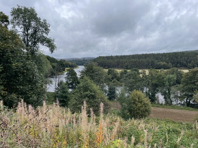
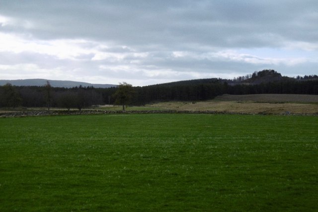
Ord Fundlie is a prominent hill located in the region of Aberdeenshire, Scotland. Situated in the eastern part of the county, it forms part of the picturesque landscape of the Grampian Mountains. With an elevation of approximately 680 meters (2,231 feet), Ord Fundlie offers breathtaking views and attracts outdoor enthusiasts and nature lovers alike.
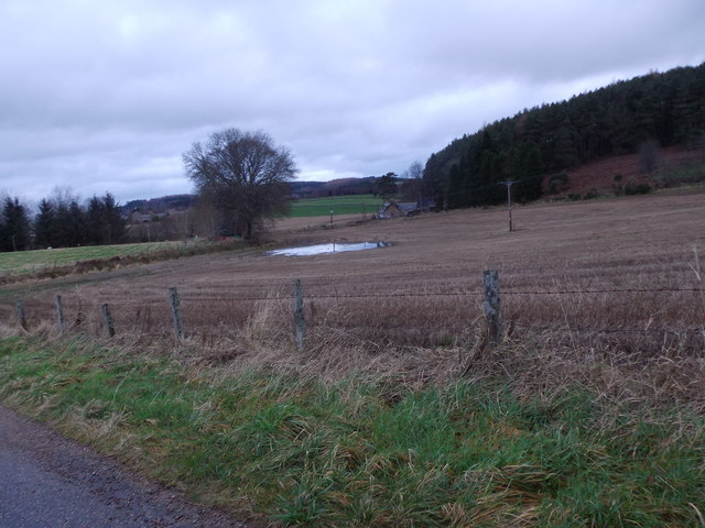
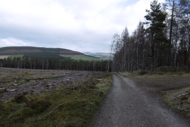
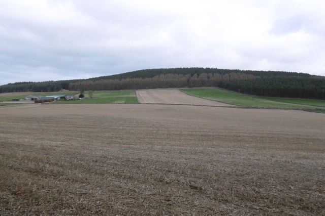
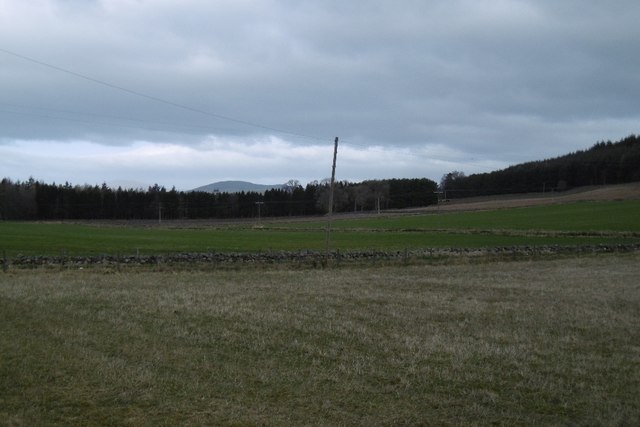
The hill is characterized by its rugged terrain, consisting of rocky slopes and heather-covered moorlands. Its distinct shape and steep inclines make it a challenging yet rewarding hiking destination. The summit provides panoramic vistas of the surrounding countryside, including the nearby towns of Huntly and Keith.
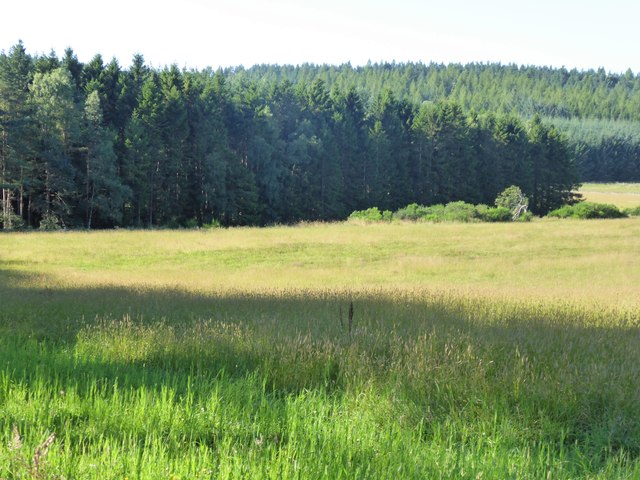
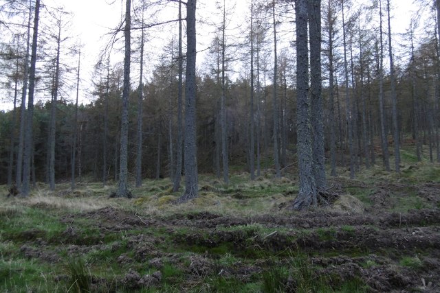
The area surrounding Ord Fundlie is rich in biodiversity, with various species of flora and fauna found throughout its slopes. The hill is particularly known for its heather, which blooms in vibrant purple hues during the summer months, creating a striking contrast against the greenery.
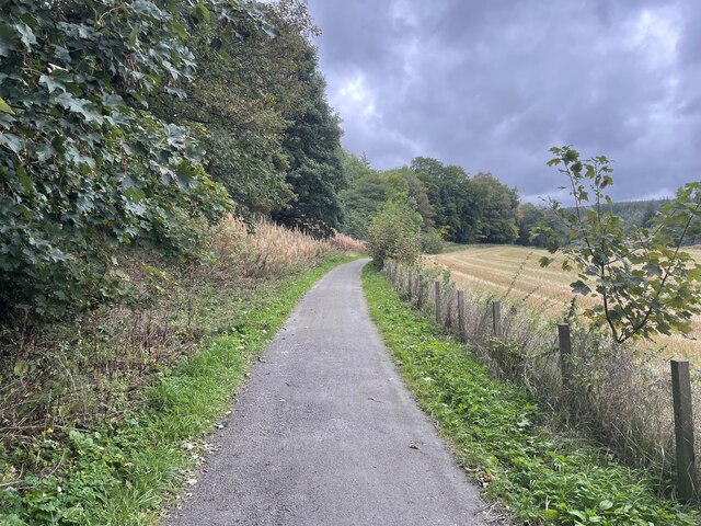
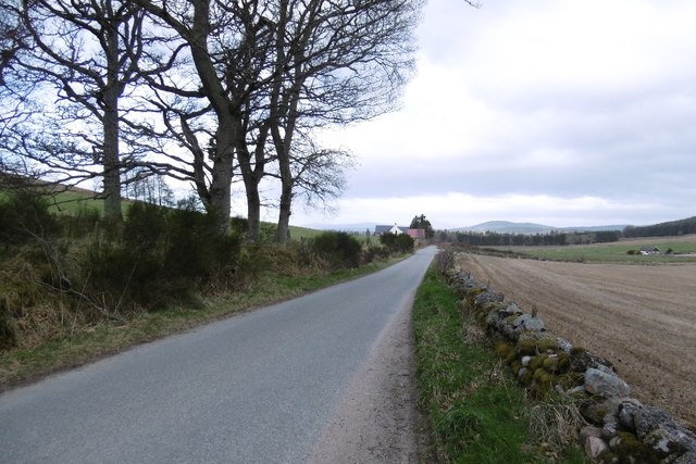
Access to Ord Fundlie is relatively straightforward, with several well-marked trails leading to the summit. These trails cater to different levels of hikers, offering options for both experienced climbers and those seeking a more leisurely stroll. It is advisable to check weather conditions and come prepared with appropriate clothing and footwear, as the hill's exposed location can make it susceptible to changing weather patterns.
Overall, Ord Fundlie provides a fantastic opportunity for outdoor exploration and a chance to immerse oneself in the natural beauty of Aberdeenshire's mountainous landscapes.
If you have any feedback on the listing, please let us know in the comments section below.
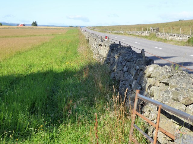
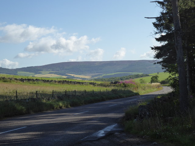
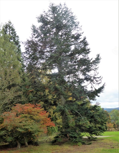
Ord Fundlie Images
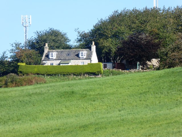
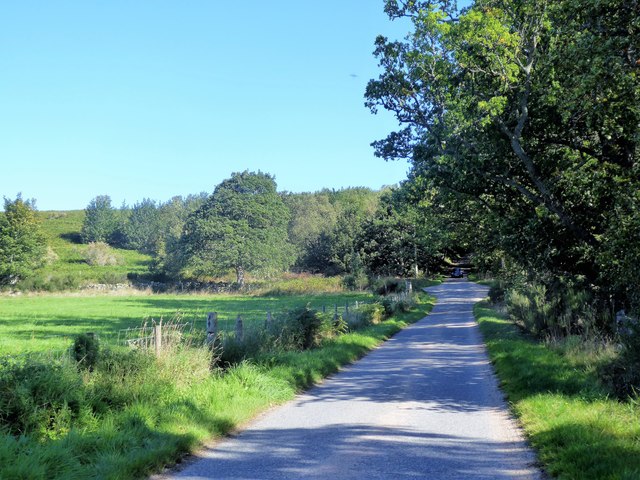
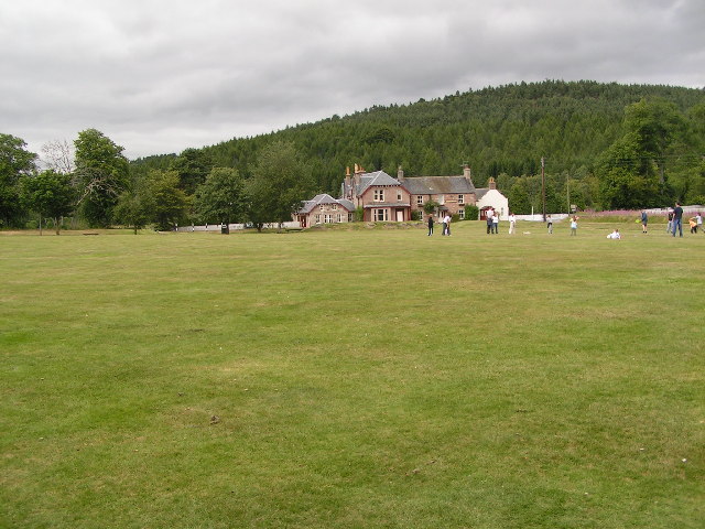
Images are sourced within 2km of 57.089081/-2.6449736 or Grid Reference NO6199. Thanks to Geograph Open Source API. All images are credited.
Ord Fundlie is located at Grid Ref: NO6199 (Lat: 57.089081, Lng: -2.6449736)
Unitary Authority: Aberdeenshire
Police Authority: North East
What 3 Words
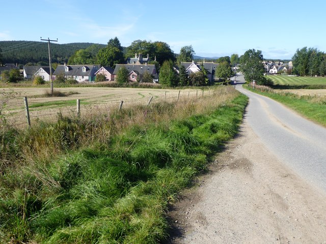
///forkful.tissue.markets. Near Torphins, Aberdeenshire
Nearby Locations
Related Wikis

Kincardine Castle, Royal Deeside
Kincardine Castle is a Victorian country house in Royal Deeside, Scotland. Formerly known as Kincardine House, it is the private home of the Bradford family...

Kincardine O'Neil
Kincardine O'Neil (Scottish Gaelic: Cinn Chàrdainn, Scots: Kinker) is a village in Aberdeenshire, Scotland. It is situated between the towns of Banchory...

Kincardine O'Neil Hospital, Aberdeenshire
Kincardine O'Neil Hospital was founded in the 13th century in the village of Kincardine O'Neil in Scotland. Almost certainly it served as a traveler's...

Torphins
Torphins ( tor-FINZ; Scottish Gaelic: Tòrr Fionn) is a village in Royal Deeside, Aberdeenshire, Scotland which lies about 22 miles (35 km) west of Aberdeen...

Torphins railway station
Torphins railway station served the village of Torphins from 1859 to 1966 on the Deeside Railway that ran from Aberdeen (Joint) to Ballater. == History... ==

Dinnie Stones
The Dinnie Stones (also called Stanes or Steens) are a pair of Scottish lifting stones located in Potarch, Aberdeenshire. They were made famous by strongman...
Potarch
Potarch ( pot-ARKH) is a hamlet in Aberdeenshire, Scotland, with a bridge across the River Dee.It is a popular location with tourists and day-trippers...

Glassel railway station
Glassel railway station is a disused railway station in Britain. It served Glassel House, the Mill of Beltie and the local farms and the inhabitants of...
Nearby Amenities
Located within 500m of 57.089081,-2.6449736Have you been to Ord Fundlie?
Leave your review of Ord Fundlie below (or comments, questions and feedback).