Swiney Moss

Wood, Forest in Roxburghshire

Scotland

Swiney Moss

Wauchope Forest from the air Wolfelee Hill can be seen near the centre of the photo.
Wauchope Forest from the air Credit: Thomas Nugent

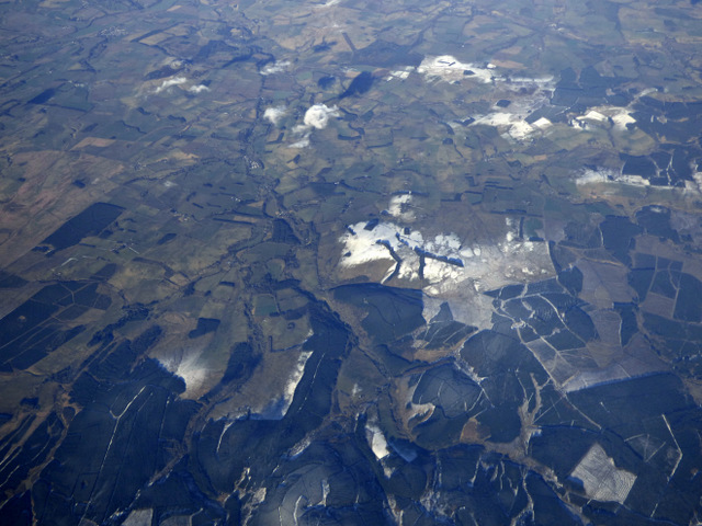
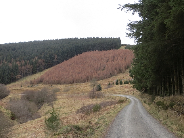
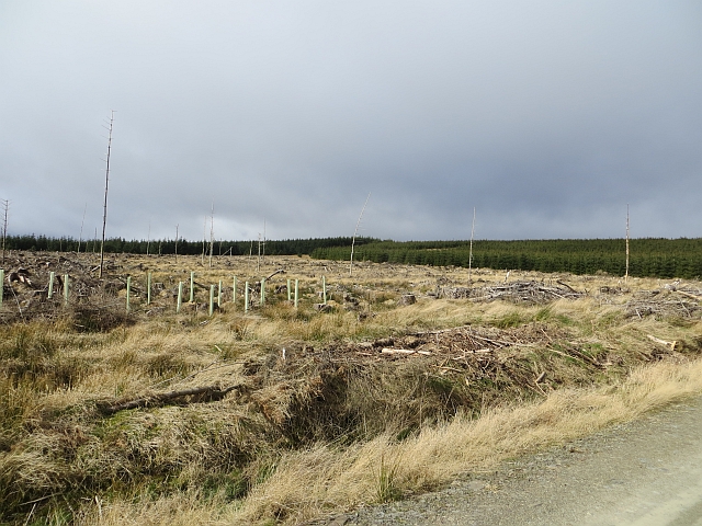
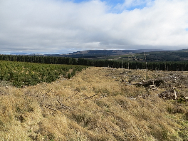
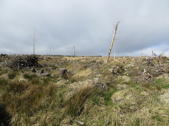
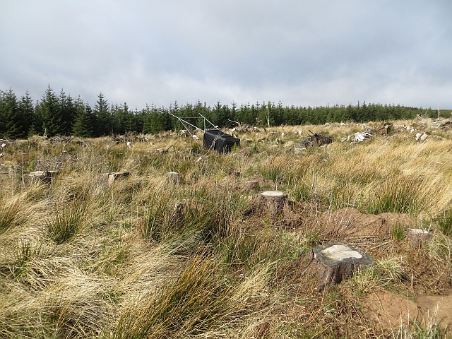
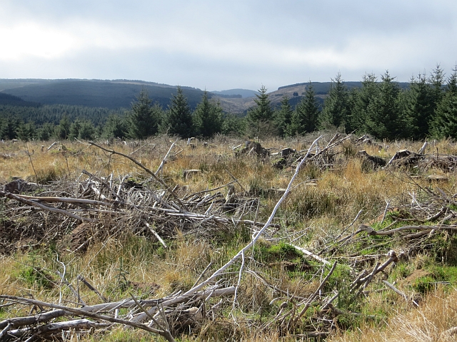
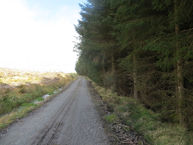
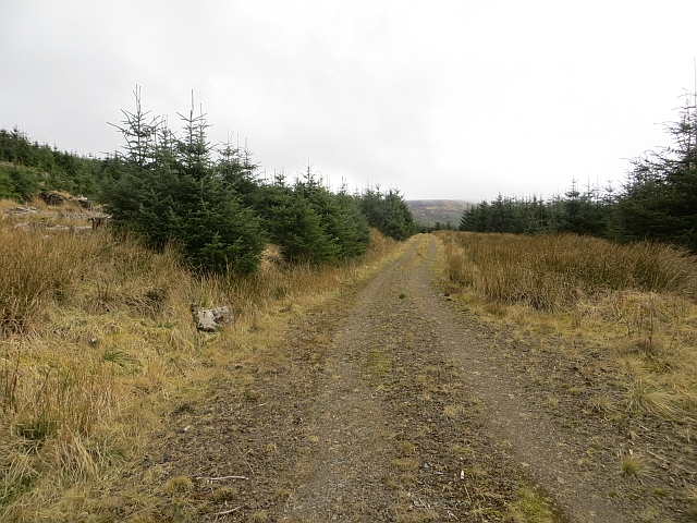
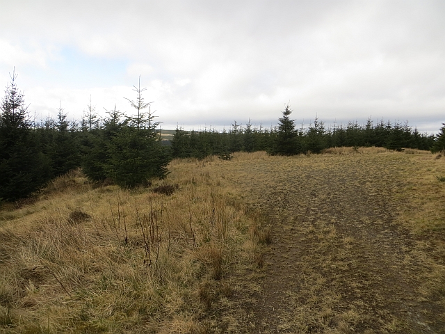
Swiney Moss is a picturesque woodland located in the county of Roxburghshire, Scotland. Covering an area of approximately 200 hectares, it is a prominent feature of the local landscape. The moss is characterized by its dense and diverse vegetation, comprising a mix of broadleaf trees, conifers, and an array of colorful wildflowers.

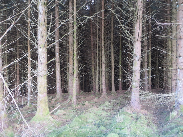
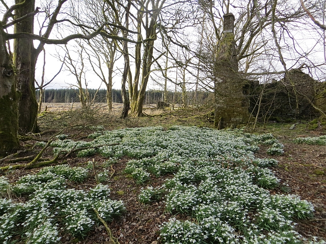
The woodland is home to a rich variety of flora and fauna, providing a natural habitat for numerous species. Ancient oaks and birch trees dominate the area, creating a majestic canopy that filters sunlight and creates a serene ambiance within the forest. The forest floor is adorned with vibrant carpets of bluebells, primroses, and foxgloves during the spring and summer months.

Swiney Moss is also known for its thriving wildlife population. The woodland is a sanctuary for numerous bird species, including woodpeckers, owls, and various songbirds. Roe deer and red squirrels are commonly spotted, adding to the charm of the area.

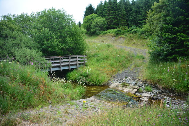
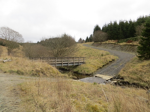
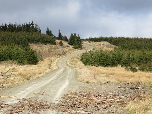
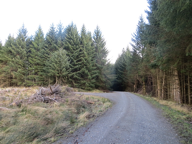
The moss offers a range of recreational activities for visitors. There are well-maintained walking trails that wind through the woodland, providing opportunities for hikers and nature enthusiasts to explore the diverse ecosystem. The serene atmosphere and natural beauty of Swiney Moss make it an ideal spot for picnics and photography.

Overall, Swiney Moss is a captivating woodland that showcases the beauty and tranquility of the Scottish countryside. Its diverse flora and fauna, combined with its recreational activities, make it a popular destination for both locals and tourists seeking solace in nature.

If you have any feedback on the listing, please let us know in the comments section below.

Swiney Moss Images

Images are sourced within 2km of 55.33597/-2.6105554 or Grid Reference NT6104. Thanks to Geograph Open Source API. All images are credited.

Wauchope Forest from the air Wolfelee Hill can be seen near the centre of the photo.
Wauchope Forest from the air
Wolfelee Hill can be seen near the centre of the photo.
Hyndlee Burn Ford This ford on The Hyndlee Burn is found on the Forestry Commission track. The exact location of the ford suggests that the OS map is incorrect. A 2014 image of the ford can be seen at::
<a title="https://www.geograph.org.uk/photo/3899124" href="https://www.geograph.org.uk/photo/3899124">Link</a>
Hyndlee Burn Ford
This ford on The Hyndlee Burn is found on the Forestry Commission track. The exact location of the ford suggests that the OS map is incorrect. A 2014 image of the ford can be seen at:: Link
Logging road, Wauchope Forest Beside the Hyndlee Burn.
Logging road, Wauchope Forest
Beside the Hyndlee Burn.
Hyndlee Burn Ford and footbridge on the Hyndlee Burn.
Hyndlee Burn
Ford and footbridge on the Hyndlee Burn.
Felled area, Wauchope Forest Recently replanted block on Wardmoor Hill.
Felled area, Wauchope Forest
Recently replanted block on Wardmoor Hill.
Wardmoor Hill Logging road in Wauchope Forest.
Wardmoor Hill
Logging road in Wauchope Forest.
Ride, Wauchope Forest A grass strip which is a hangover from the previous generation of trees, has been retained. Obviously the northern block was felled a few years earlier than the southern block.
The ride heads towards the site of Wellcleuch Plantation, one of the small woods that predate the planting of Wauchope Forest.
Ride, Wauchope Forest
A grass strip which is a hangover from the previous generation of trees, has been retained. Obviously the northern block was felled a few years earlier than the southern block. The ride heads towards the site of Wellcleuch Plantation, one of the small woods that predate the planting of Wauchope Forest.
Replanted block, Wauchope Forest
Felled area, Wauchope Forest And a felled deer seat.
Felled area, Wauchope Forest
And a felled deer seat.
Felled and replanted woodland In Wauchope Forest, looking towards a notch in the hills which carries the Bonchester Bridge to Newcastleton road.
Felled and replanted woodland
In Wauchope Forest, looking towards a notch in the hills which carries the Bonchester Bridge to Newcastleton road.
Road junction, Wauchope Forest
Wauchope Forest Standing timber near the Well Cleuch.
Wauchope Forest
Standing timber near the Well Cleuch.
Road, Wauchope Forest There has been some felling work since this was taken <a href="https://www.geograph.org.uk/photo/530427">NT6205 : Forestry in Wellcleuch Plantation</a>.
Road, Wauchope Forest
There has been some felling work since this was taken NT6205 : Forestry in Wellcleuch Plantation.
Westshiels Snowdrops remain in what would have once been a garden beside the now ruined Westshiels.
Westshiels
Snowdrops remain in what would have once been a garden beside the now ruined Westshiels.
Ride, Wauchope Forest There is a bit of a track here, but not one deserving the road symbol on the 1:50,000 map. Things improve nearer Jedhead.
Ride, Wauchope Forest
There is a bit of a track here, but not one deserving the road symbol on the 1:50,000 map. Things improve nearer Jedhead.
Wauchope Forest A new crop growing amongst the remains of a felled block.
Wauchope Forest
A new crop growing amongst the remains of a felled block.
Track, Wauchope Forest A newish track, not on my 2010 1:50,000 map, makes a steady climb of Green Law. The ground is quite mossy further up the hill.
Track, Wauchope Forest
A newish track, not on my 2010 1:50,000 map, makes a steady climb of Green Law. The ground is quite mossy further up the hill.
Track, Green Law Newish track climbing Green Law. There is a turning circle here, but the track continues to the road over the top of Green Law as a mossy path.
Track, Green Law
Newish track climbing Green Law. There is a turning circle here, but the track continues to the road over the top of Green Law as a mossy path.
Show me another place!

Swiney Moss is located at Grid Ref: NT6104 (Lat: 55.33597, Lng: -2.6105554)

Unitary Authority: The Scottish Borders

Police Authority: The Lothians and Scottish Borders

What 3 Words

///reports.universes.replenish. Near Hawick, Scottish Borders

Related Wikis

Wauchope Forest

Wauchope Forest is a forest on the Rule Water, in the Scottish Borders area of Scotland, south of Hawick, and including the A6088, the A68 and the B6357...

Wauchope, Scottish Borders

Wauchope is a hamlet in the Scottish Borders council area of Scotland, near Southdean. Wauchope House was demolished in 1932. == See also == Wauchope Forest...

Southdean

Southdean is a hamlet in the Scottish Borders area of Scotland, on the A6088, by the Jed Water and in the Wauchope Forest area. Other settlements nearby...

Hobkirk

Hobkirk (Scottish Gaelic: Eaglais Ruail) is a village and civil parish in the Scottish Borders area of Scotland, by the Rule Water, south-west of Jedburgh...

Have you been to Swiney Moss?

Leave your review of Swiney Moss below (or comments, questions and feedback).