Burghill Wood

Wood, Forest in Angus

Scotland

Burghill Wood

Old Town Hall, Brechin The High Street is the heart of the old part of Brechin and part way down on a corner is the old Town Hall, first built in 1789 and altered in 1856. Now grade 'B' listed.
Old Town Hall, Brechin Credit: Gordon Hatton

Burghill Wood is a picturesque forest located in the county of Angus, Scotland. Spanning approximately 50 acres, this enchanting woodland is a popular destination for nature enthusiasts and hikers alike. The wood is situated just a few miles outside the small village of Burghill, nestled amidst the rolling countryside and surrounded by a tranquil atmosphere.

The woodland is characterized by a diverse range of tree species, including oak, beech, birch, and pine. The dense canopy of foliage provides a haven for numerous wildlife species, making it a prime spot for birdwatching and animal spotting. Visitors can expect to see a variety of bird species such as woodpeckers, owls, and various songbirds.

Burghill Wood offers several well-maintained trails for visitors to explore, ranging from easy strolls to more challenging hikes. These trails wind through the forest, allowing visitors to immerse themselves in the natural beauty of the surroundings. Along the way, one can admire carpets of bluebells in the spring, vibrant autumn foliage, and the peaceful babbling of nearby streams.

In addition to its natural beauty, the wood also boasts a rich history. There are remnants of ancient settlements and evidence of early human activity, including a prehistoric fort and remnants of old boundary walls. These historical features add an intriguing element to any visit to Burghill Wood.

Overall, Burghill Wood in Angus offers a delightful escape into nature, providing a serene and tranquil environment for visitors to enjoy the beauty of the Scottish countryside.

If you have any feedback on the listing, please let us know in the comments section below.

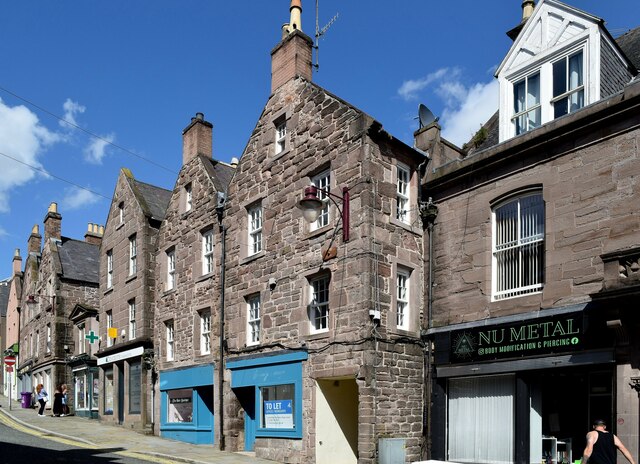
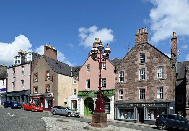
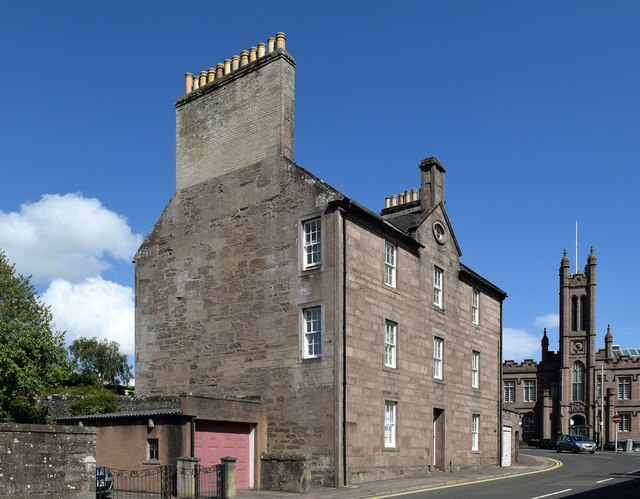
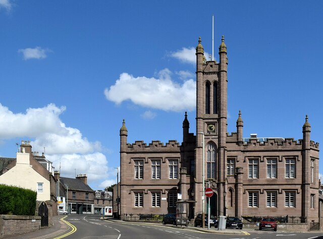
Burghill Wood Images

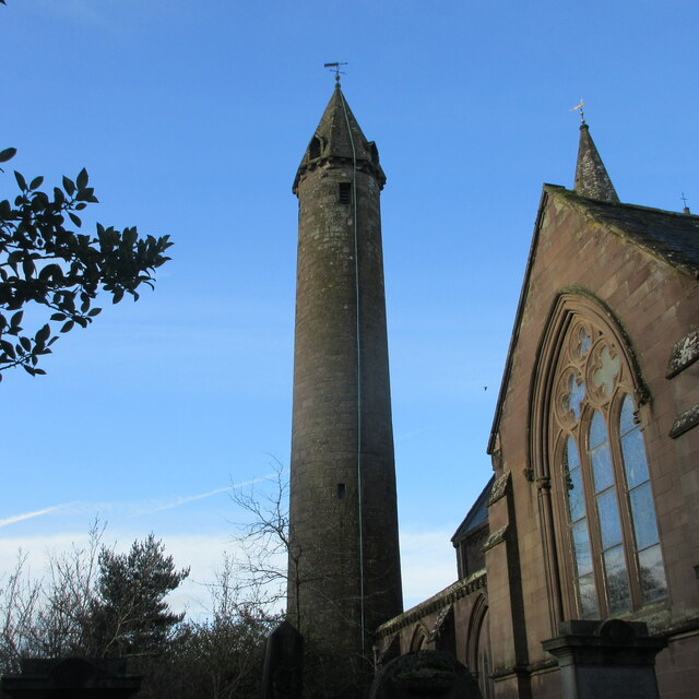
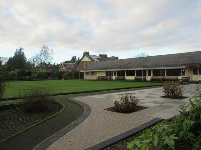
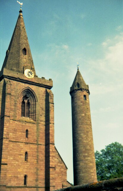
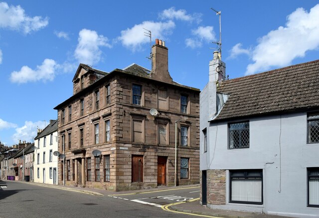
Images are sourced within 2km of 56.717458/-2.6517655 or Grid Reference NO6058. Thanks to Geograph Open Source API. All images are credited.

Old Town Hall, Brechin The High Street is the heart of the old part of Brechin and part way down on a corner is the old Town Hall, first built in 1789 and altered in 1856. Now grade 'B' listed.
Old Town Hall, Brechin
The High Street is the heart of the old part of Brechin and part way down on a corner is the old Town Hall, first built in 1789 and altered in 1856. Now grade 'B' listed.
Brechin Cathedral I've often wondered about cathedrals in Scotland. I believe that technically this isn't a cathedral as it is Church of Scotland which has no bishops and thereby no cathedrals. However, it appears that pre reformation cathedrals that have survived retain their name. This one dates from the 13th century, but all that can be seen here is either late 19thC or early 20th. Another question - is Brechin a city?
Brechin Cathedral
I've often wondered about cathedrals in Scotland. I believe that technically this isn't a cathedral as it is Church of Scotland which has no bishops and thereby no cathedrals. However, it appears that pre reformation cathedrals that have survived retain their name. This one dates from the 13th century, but all that can be seen here is either late 19thC or early 20th. Another question - is Brechin a city?
Round tower, Brechin Cathedral What a difficult monument to photograph! Hidden behind the bulk of the cathedral and in a churchyard with plenty of mature trees, a good angle is hard to find. There are just two such 'Irish' style round towers in Scotland, and this one dates from sometime soon after 1012. The tower is around 100ft high.
Round tower, Brechin Cathedral
What a difficult monument to photograph! Hidden behind the bulk of the cathedral and in a churchyard with plenty of mature trees, a good angle is hard to find. There are just two such 'Irish' style round towers in Scotland, and this one dates from sometime soon after 1012. The tower is around 100ft high.
Brechin Arms pub Town centre pub on St David's Street.
Brechin Arms pub
Town centre pub on St David's Street.
Brechin Cathedral Round Tower The Round Tower on the south-west corner of Brechin Cathedral, viewed from the east.
Brechin Cathedral Round Tower
The Round Tower on the south-west corner of Brechin Cathedral, viewed from the east.
Brechin Bowling Club Brechin Bowling Green and Club, viewed from St Andrew Street to the east.
Brechin Bowling Club
Brechin Bowling Green and Club, viewed from St Andrew Street to the east.
Towers at Brechin Cathedral in 1992 View from the west of the round and the traditional tower
Towers at Brechin Cathedral in 1992
View from the west of the round and the traditional tower
111-115 High Street, Brechin The ashlar B-listed building (LB22489 <span class="nowrap"><a title="https://portal.historicenvironment.scot/designation/LB22489" rel="nofollow ugc noopener" href="https://portal.historicenvironment.scot/designation/LB22489">Link</a><img style="margin-left:2px;" alt="External link" title="External link - shift click to open in new window" src="https://s1.geograph.org.uk/img/external.png" width="10" height="10"/></span>  ) seems to be falling into dereliction with crumbling stonework and boarded-up windows.    The building to the left is also listed (LB22488 <span class="nowrap"><a title="https://portal.historicenvironment.scot/designation/LB22488" rel="nofollow ugc noopener" href="https://portal.historicenvironment.scot/designation/LB22488">Link</a><img style="margin-left:2px;" alt="External link" title="External link - shift click to open in new window" src="https://s1.geograph.org.uk/img/external.png" width="10" height="10"/></span> ).
111-115 High Street, Brechin
The ashlar B-listed building (LB22489 LinkExternal link ) seems to be falling into dereliction with crumbling stonework and boarded-up windows. The building to the left is also listed (LB22488 LinkExternal link ).
43-45 High Street, Brechin Part of a distinctive row of gable-end buildings and B-listed: LB22480 <span class="nowrap"><a title="https://portal.historicenvironment.scot/designation/LB22480" rel="nofollow ugc noopener" href="https://portal.historicenvironment.scot/designation/LB22480">Link</a><img style="margin-left:2px;" alt="External link" title="External link - shift click to open in new window" src="https://s1.geograph.org.uk/img/external.png" width="10" height="10"/></span> .
43-45 High Street, Brechin
Part of a distinctive row of gable-end buildings and B-listed: LB22480 LinkExternal link .
Gable-end buildings, High Street, Brechin McConnachie Eyecare and Thyme Properties are A-listed as the best remaining examples of gable-end buildings (LB22476 <span class="nowrap"><a title="https://portal.historicenvironment.scot/designation/LB22476" rel="nofollow ugc noopener" href="https://portal.historicenvironment.scot/designation/LB22476">Link</a><img style="margin-left:2px;" alt="External link" title="External link - shift click to open in new window" src="https://s1.geograph.org.uk/img/external.png" width="10" height="10"/></span> ) whereas Bridal Dreams is B-listed (LB22477 <span class="nowrap"><a title="https://portal.historicenvironment.scot/designation/LB22477" rel="nofollow ugc noopener" href="https://portal.historicenvironment.scot/designation/LB22477">Link</a><img style="margin-left:2px;" alt="External link" title="External link - shift click to open in new window" src="https://s1.geograph.org.uk/img/external.png" width="10" height="10"/></span> ).
Gable-end buildings, High Street, Brechin
McConnachie Eyecare and Thyme Properties are A-listed as the best remaining examples of gable-end buildings (LB22476 LinkExternal link ) whereas Bridal Dreams is B-listed (LB22477 LinkExternal link ).
4, 6 and 8 Castle Street, Brechin Dated 1788 above the oculus and B-listed (LB22429 <span class="nowrap"><a title="https://portal.historicenvironment.scot/designation/LB22429" rel="nofollow ugc noopener" href="https://portal.historicenvironment.scot/designation/LB22429">Link</a><img style="margin-left:2px;" alt="External link" title="External link - shift click to open in new window" src="https://s1.geograph.org.uk/img/external.png" width="10" height="10"/></span> ).   Note the gigantic chimney stack.   The former Mechanics' Institute can be seen in the background.
4, 6 and 8 Castle Street, Brechin
Dated 1788 above the oculus and B-listed (LB22429 LinkExternal link ). Note the gigantic chimney stack. The former Mechanics' Institute can be seen in the background.
Former Mechanics' Institute, Brechin Mechanics' institutes were set up in the early 19th Century to provide social space, reading rooms and educational opportunities for workers as opposed to 'assembly rooms' for the 'gentry': <span class="nowrap"><a title="https://en.wikipedia.org/wiki/Mechanics%27_institute" rel="nofollow ugc noopener" href="https://en.wikipedia.org/wiki/Mechanics%27_institute">Link</a><img style="margin-left:2px;" alt="External link" title="External link - shift click to open in new window" src="https://s1.geograph.org.uk/img/external.png" width="10" height="10"/></span> .    This fine example in Brechin is B-listed (LB22459 <span class="nowrap"><a title="https://portal.historicenvironment.scot/designation/LB22459" rel="nofollow ugc noopener" href="https://portal.historicenvironment.scot/designation/LB22459">Link</a><img style="margin-left:2px;" alt="External link" title="External link - shift click to open in new window" src="https://s1.geograph.org.uk/img/external.png" width="10" height="10"/></span> ) and is now a community hall.
Former Mechanics' Institute, Brechin
Mechanics' institutes were set up in the early 19th Century to provide social space, reading rooms and educational opportunities for workers as opposed to 'assembly rooms' for the 'gentry': LinkExternal link . This fine example in Brechin is B-listed (LB22459 LinkExternal link ) and is now a community hall.
The Brechin Arms, St David Street (A935), Brechin The A935 links Brechin with Montrose and is some 15 km long: <span class="nowrap"><a title="https://www.sabre-roads.org.uk/wiki/index.php?title=A935" rel="nofollow ugc noopener" href="https://www.sabre-roads.org.uk/wiki/index.php?title=A935">Link</a><img style="margin-left:2px;" alt="External link" title="External link - shift click to open in new window" src="https://s1.geograph.org.uk/img/external.png" width="10" height="10"/></span> .
The Brechin Arms, St David Street (A935), Brechin
The A935 links Brechin with Montrose and is some 15 km long: LinkExternal link .
St Andrew's Scottish Episcopal Church, Brechin Dating from 1888 in "early geometrical cruciform" style and B-listed: LB22551   <span class="nowrap"><a title="https://portal.historicenvironment.scot/designation/LB22551" rel="nofollow ugc noopener" href="https://portal.historicenvironment.scot/designation/LB22551">Link</a><img style="margin-left:2px;" alt="External link" title="External link - shift click to open in new window" src="https://s1.geograph.org.uk/img/external.png" width="10" height="10"/></span>.
St Andrew's Scottish Episcopal Church, Brechin
Dating from 1888 in "early geometrical cruciform" style and B-listed: LB22551 LinkExternal link.
Maisondieu Primary School, Brechin Dating from 1875 and C-listed (LB22552 <span class="nowrap"><a title="https://portal.historicenvironment.scot/designation/LB22552" rel="nofollow ugc noopener" href="https://portal.historicenvironment.scot/designation/LB22552">Link</a><img style="margin-left:2px;" alt="External link" title="External link - shift click to open in new window" src="https://s1.geograph.org.uk/img/external.png" width="10" height="10"/></span> ).    School roll = 390 pupils in 2022-23 as per the school handbook.
Maisondieu Primary School, Brechin
Dating from 1875 and C-listed (LB22552 LinkExternal link ). School roll = 390 pupils in 2022-23 as per the school handbook.
Brechin Bowling Club, Argyll Street, Brechin I think the 'green' channel on my camera was close to being saturated...
Brechin Bowling Club, Argyll Street, Brechin
I think the 'green' channel on my camera was close to being saturated...
Checking the menu... ...at the Kohenoor Indian takeaway, 22 St David St, Brechin.   The building is C-listed (LB22557 <span class="nowrap"><a title="https://portal.historicenvironment.scot/designation/LB22557" rel="nofollow ugc noopener" href="https://portal.historicenvironment.scot/designation/LB22557">Link</a><img style="margin-left:2px;" alt="External link" title="External link - shift click to open in new window" src="https://s1.geograph.org.uk/img/external.png" width="10" height="10"/></span> ).
Checking the menu...
...at the Kohenoor Indian takeaway, 22 St David St, Brechin. The building is C-listed (LB22557 LinkExternal link ).
14 St David Street, Brechin Was it once a bank with the agent's (manager's) entrance to the right?   C-listed: LB22555 <span class="nowrap"><a title="https://portal.historicenvironment.scot/designation/LB22555" rel="nofollow ugc noopener" href="https://portal.historicenvironment.scot/designation/LB22555">Link</a><img style="margin-left:2px;" alt="External link" title="External link - shift click to open in new window" src="https://s1.geograph.org.uk/img/external.png" width="10" height="10"/></span> .
14 St David Street, Brechin
Was it once a bank with the agent's (manager's) entrance to the right? C-listed: LB22555 LinkExternal link .
Show me another place!

Burghill Wood is located at Grid Ref: NO6058 (Lat: 56.717458, Lng: -2.6517655)

Unitary Authority: Angus

Police Authority: Tayside

What 3 Words

///vets.marine.ankle. Near Brechin, Angus

Related Wikis

Brechin Victoria F.C.

Brechin Victoria Junior Football Club are a Scottish Junior football club based in Brechin, Angus. Their home ground is Victoria Park. The club have recently...
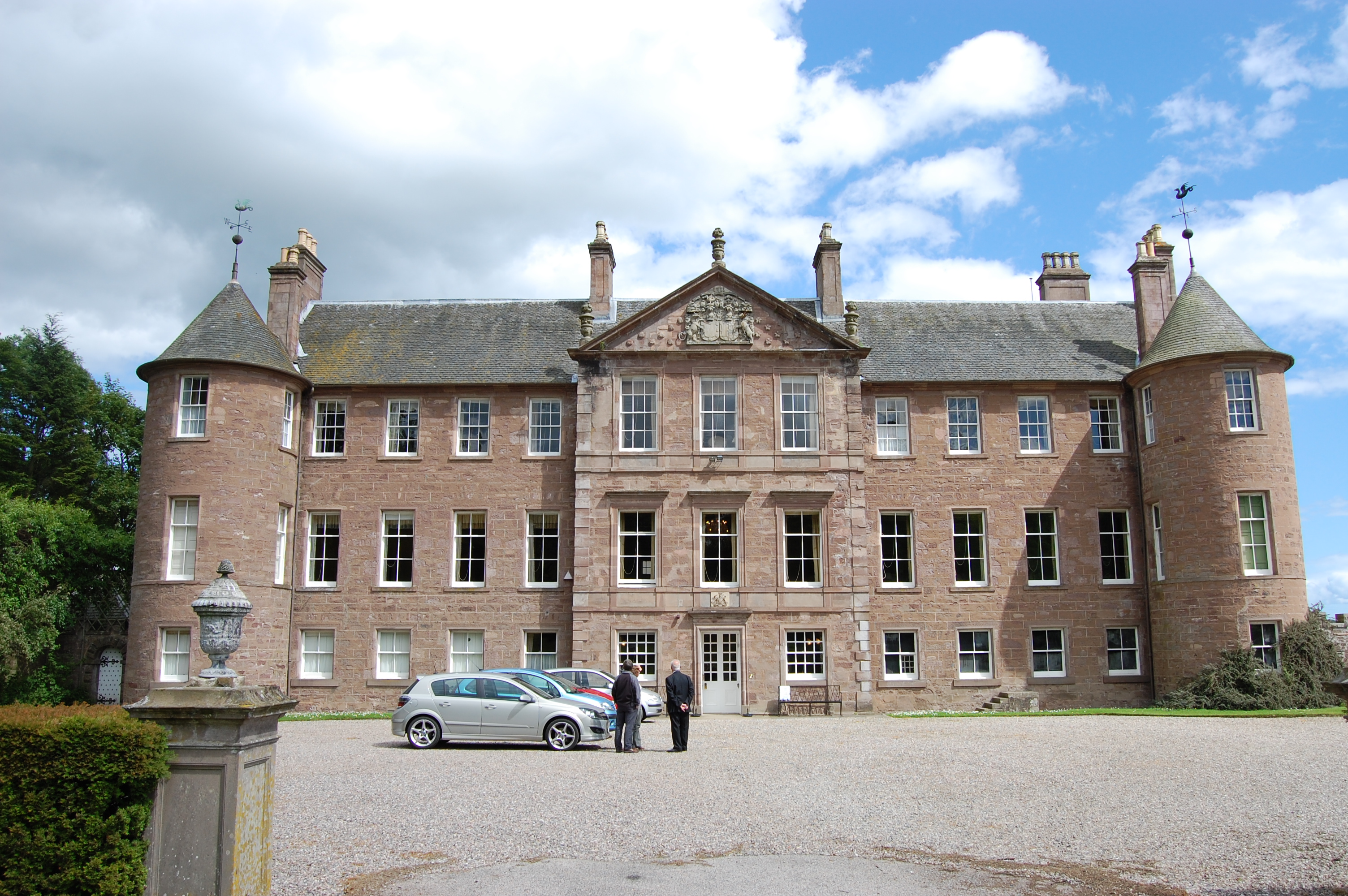
Brechin Castle

Brechin Castle is a castle in Brechin, Angus, Scotland. The castle was constructed in stone during the 13th century. Most of the current building dates...

Brechin

Brechin (; Scottish Gaelic: Breichin) is a town and former Royal burgh in Angus, Scotland. Traditionally Brechin was described as a city because of its...

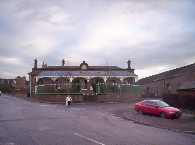
Brechin railway station

Brechin is a station in Angus, on the Caledonian Railway line. == History == The station opened for business on 1 February 1848. Initially four trains...

Nearby Amenities

Located within 500m of 56.717458,-2.6517655
Power: pole
Lat/Long: 56.7217557/-2.6538753
Power: pole
Lat/Long: 56.7217881/-2.6535801
Power: pole
Lat/Long: 56.721919/-2.6522219
Power: pole
Lat/Long: 56.7203229/-2.6459579
Power: pole
Lat/Long: 56.7196619/-2.6456508
Power: pole
Lat/Long: 56.7190009/-2.6453248
Power: pole
Lat/Long: 56.7183476/-2.645006
Power: pole
Lat/Long: 56.7176956/-2.6446871
Power: pole
Lat/Long: 56.7170307/-2.6443493
Power: pole
Lat/Long: 56.7162555/-2.6441025
Power: pole
Lat/Long: 56.7159464/-2.6441674
The data included in this document is from www.openstreetmap.org. The data is made available under ODbL.

Have you been to Burghill Wood?

Leave your review of Burghill Wood below (or comments, questions and feedback).